Kingswood
Settlement in Herefordshire
England
Kingswood
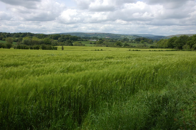
Kingswood is a small village located in the county of Herefordshire, in the West Midlands region of England. Situated approximately 10 miles south of Hereford, the village is nestled in the picturesque countryside, surrounded by rolling hills and fields.
The village is known for its tranquil and idyllic setting, making it a popular destination for those seeking a peaceful retreat from the bustling city life. The landscape is characterized by lush greenery, with numerous walking trails and nature reserves nearby, providing ample opportunities for outdoor activities such as hiking, cycling, and birdwatching.
Despite its small size, Kingswood offers a range of amenities to its residents and visitors. There is a local pub and a village hall, which serves as a hub for community events and gatherings. The village also has a primary school, providing education to the local children.
The surrounding area is rich in history, with several historical landmarks and attractions within easy reach. The nearby city of Hereford is home to Hereford Cathedral, a magnificent medieval structure famous for housing the Mappa Mundi, a medieval map of the world. The Herefordshire countryside is also dotted with charming market towns, such as Ross-on-Wye and Ledbury, offering visitors a chance to explore local culture and heritage.
In summary, Kingswood, Herefordshire is a peaceful village set amidst stunning natural beauty, offering a tranquil escape from city life while providing access to nearby historical sites and charming market towns.
If you have any feedback on the listing, please let us know in the comments section below.
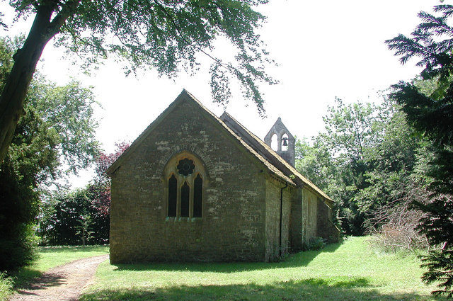
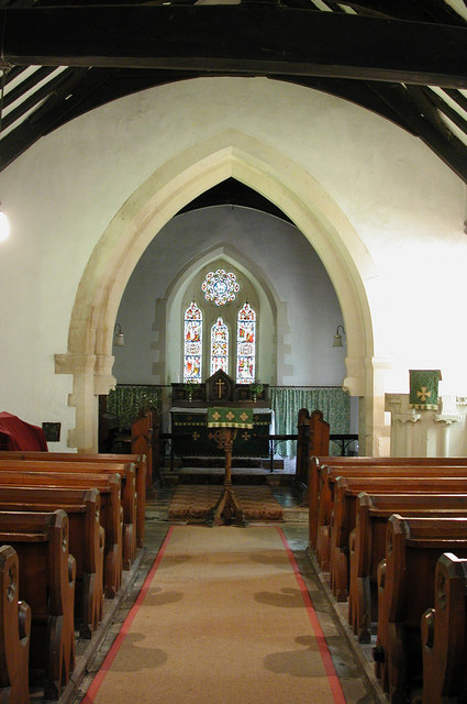
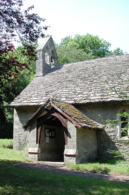
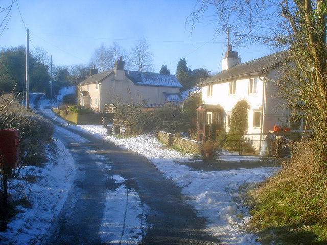
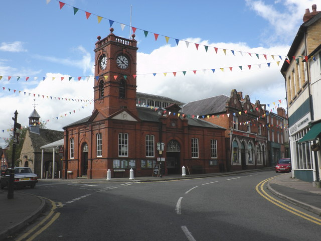
Kingswood Images
Images are sourced within 2km of 52.180365/-3.0336745 or Grid Reference SO2954. Thanks to Geograph Open Source API. All images are credited.


Kingswood is located at Grid Ref: SO2954 (Lat: 52.180365, Lng: -3.0336745)
Unitary Authority: County of Herefordshire
Police Authority: West Mercia
What 3 Words
///flattens.cares.heaven. Near Kington, Herefordshire
Nearby Locations
Related Wikis
Lower Hergest
Lower Hergest is a hamlet in Herefordshire, England.The local manor house, Hergest Court, is a Grade II* listed building built of a mixture of stone and...

The Recreation Ground, Kington
The Recreation Ground is a cricket ground in Kington, Herefordshire. The first recorded match on the ground was in 1996, when Herefordshire played Wales...

Kington Town F.C.
Kington Town Football Club is a football club based in Kington, Herefordshire, England. They are currently members of the Herefordshire League Premier...
Lady Hawkins' School
Lady Hawkins' School is a 11-16 secondary school in Kington, Herefordshire. The headteacher is Paul Jennings.The school comprises two houses named after...
Kington Rural District
Kington Rural District was a rural district in the administrative county of Herefordshire, England from 1894 to 1974, covering an area in the west of the...

Kington Museum
Kington Museum is a volunteer-run local history museum in the market town of Kington, Herefordshire, England. It opened in June 1986 and occupies the stable...
Kington, Herefordshire
Kington is a market town, electoral ward and civil parish in Herefordshire, England. The ward had a population of 3,240, while the 2011 Census registered...

Church of St Mary, Kington
The Church of St Mary, or St. Mary the Virgin Church, Kington, Herefordshire, England is a Grade I listed parish church. The church was established c....
Nearby Amenities
Located within 500m of 52.180365,-3.0336745Have you been to Kingswood?
Leave your review of Kingswood below (or comments, questions and feedback).