Barnard Gate
Settlement in Oxfordshire West Oxfordshire
England
Barnard Gate
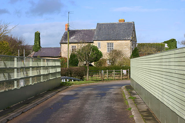
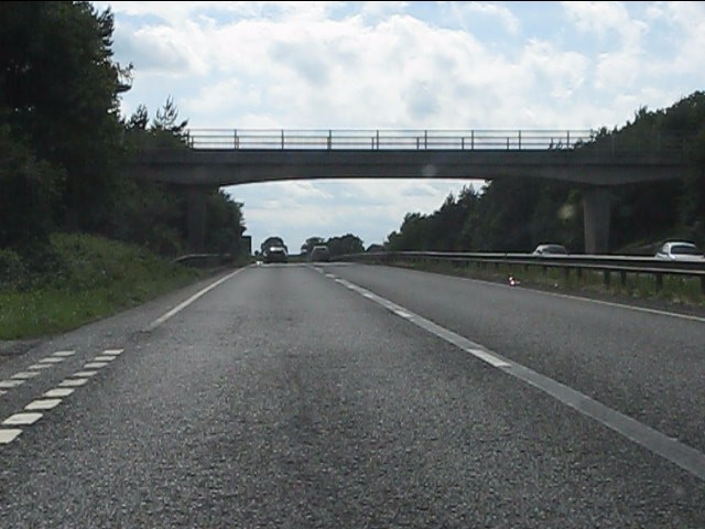
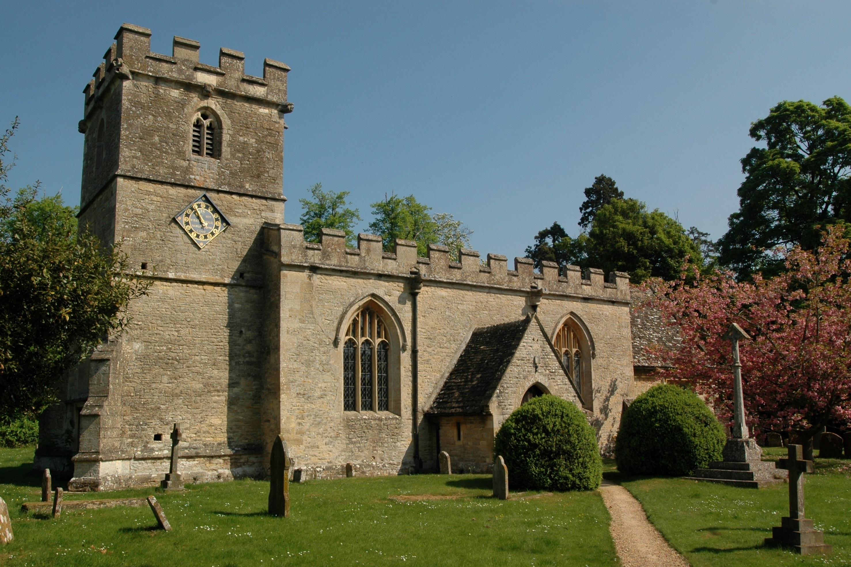
Barnard Gate is a small village located in the county of Oxfordshire, England. Situated about 6 miles west of the historic city of Oxford, it falls within the district of West Oxfordshire. The village is nestled within a picturesque rural setting, surrounded by rolling hills and lush green fields.
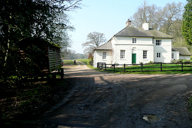
The origins of Barnard Gate can be traced back to the medieval period, and it is believed that the settlement was named after the Bernard family, who were once influential landowners in the area. Today, the village retains much of its original charm, with a scattering of traditional stone houses and cottages lining its streets.
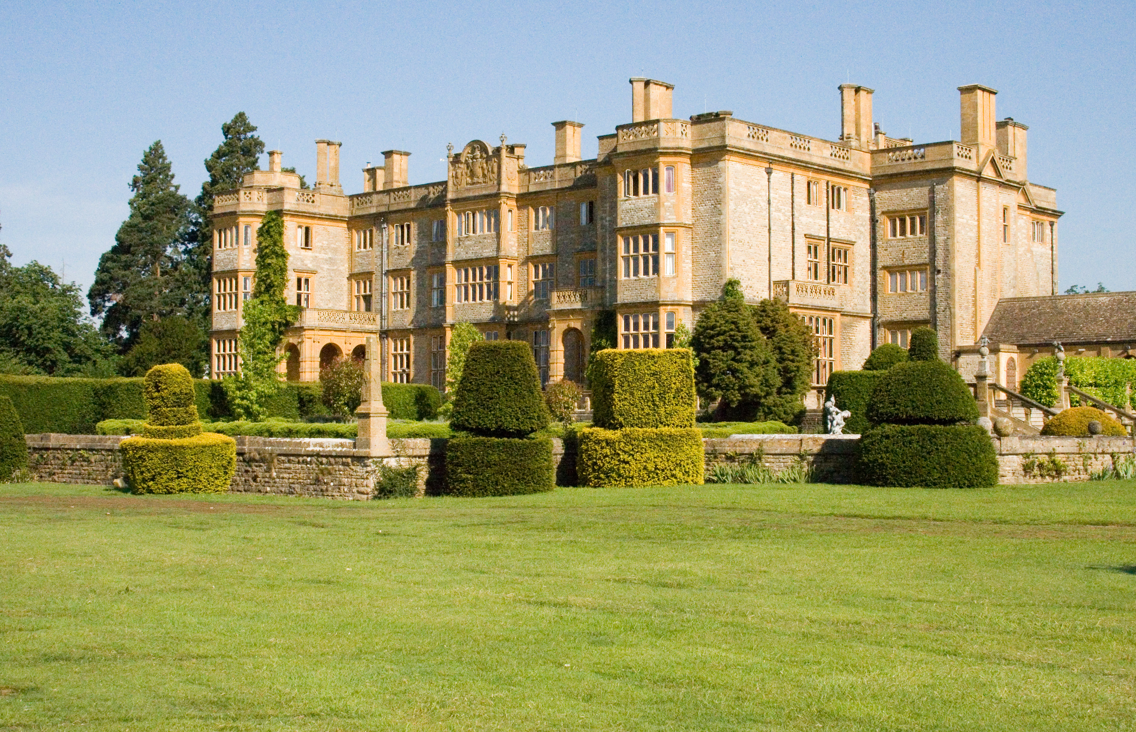
Despite its small size, Barnard Gate offers a range of amenities for its residents and visitors. A notable feature of the village is the historic Barnard Gate Manor, a grand country house that dates back to the 17th century. This impressive building is surrounded by beautifully landscaped gardens, which are often open to the public during special events.
The village also boasts a local pub, known as the Barnard Gate Cricket Club, which serves as the social hub of the community. The pub offers a warm and friendly atmosphere, serving delicious food and a wide selection of beverages.
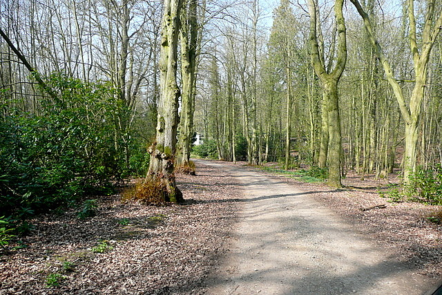
For those seeking outdoor activities, Barnard Gate is an excellent base for exploring the surrounding countryside. The area is crisscrossed with walking and cycling trails, allowing visitors to immerse themselves in the natural beauty of Oxfordshire.
Overall, Barnard Gate is a quaint and peaceful village, offering a glimpse into the rural charm of Oxfordshire. With its rich history, stunning landscapes, and friendly community, it is a delightful place to visit or call home.
If you have any feedback on the listing, please let us know in the comments section below.
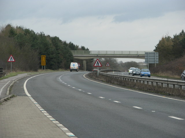
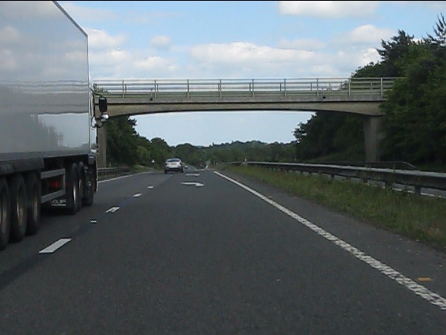
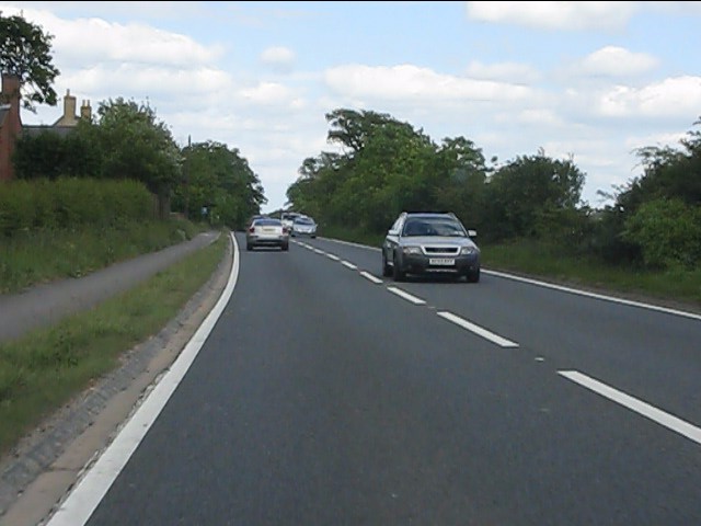
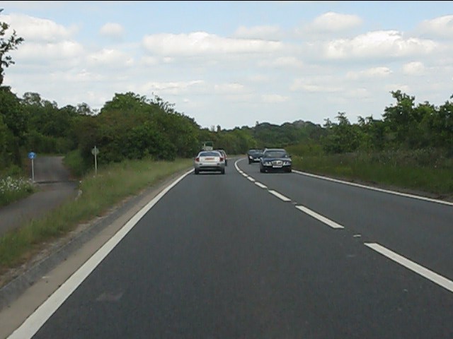
Barnard Gate Images
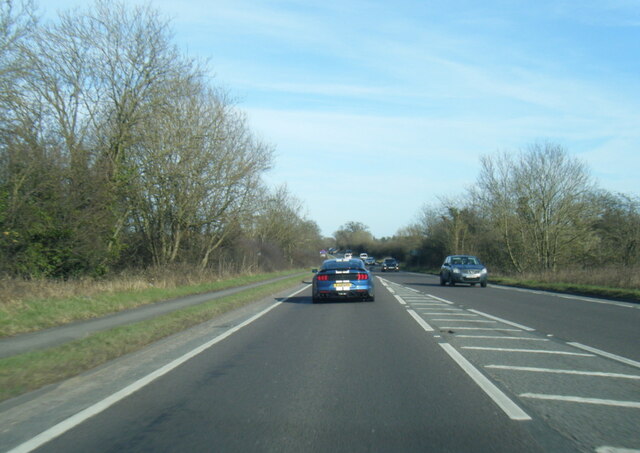
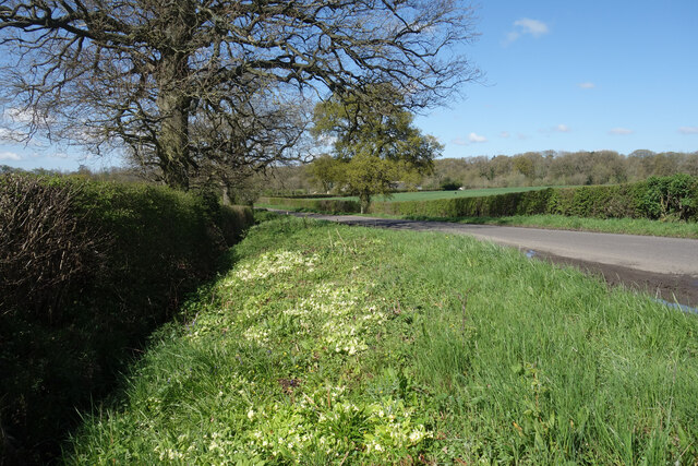
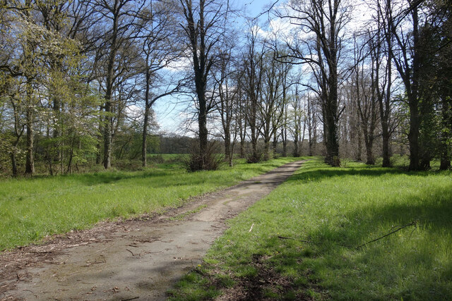
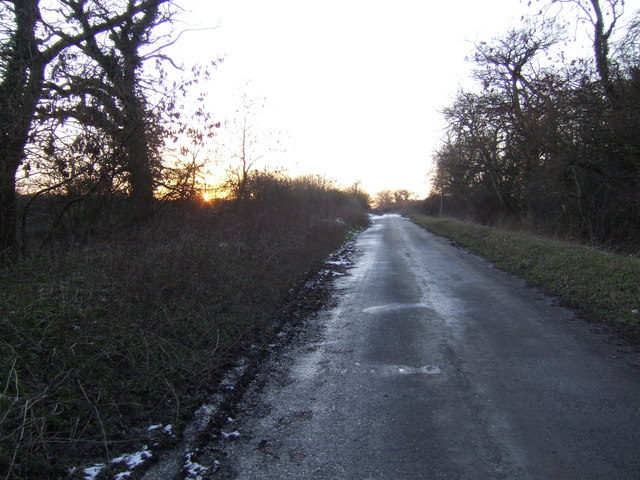
Images are sourced within 2km of 51.792998/-1.414181 or Grid Reference SP4010. Thanks to Geograph Open Source API. All images are credited.


Barnard Gate is located at Grid Ref: SP4010 (Lat: 51.792998, Lng: -1.414181)
Administrative County: Oxfordshire
District: West Oxfordshire
Police Authority: Thames Valley
What 3 Words
///spreading.decompose.actual. Near Eynsham, Oxfordshire
Nearby Locations
Related Wikis

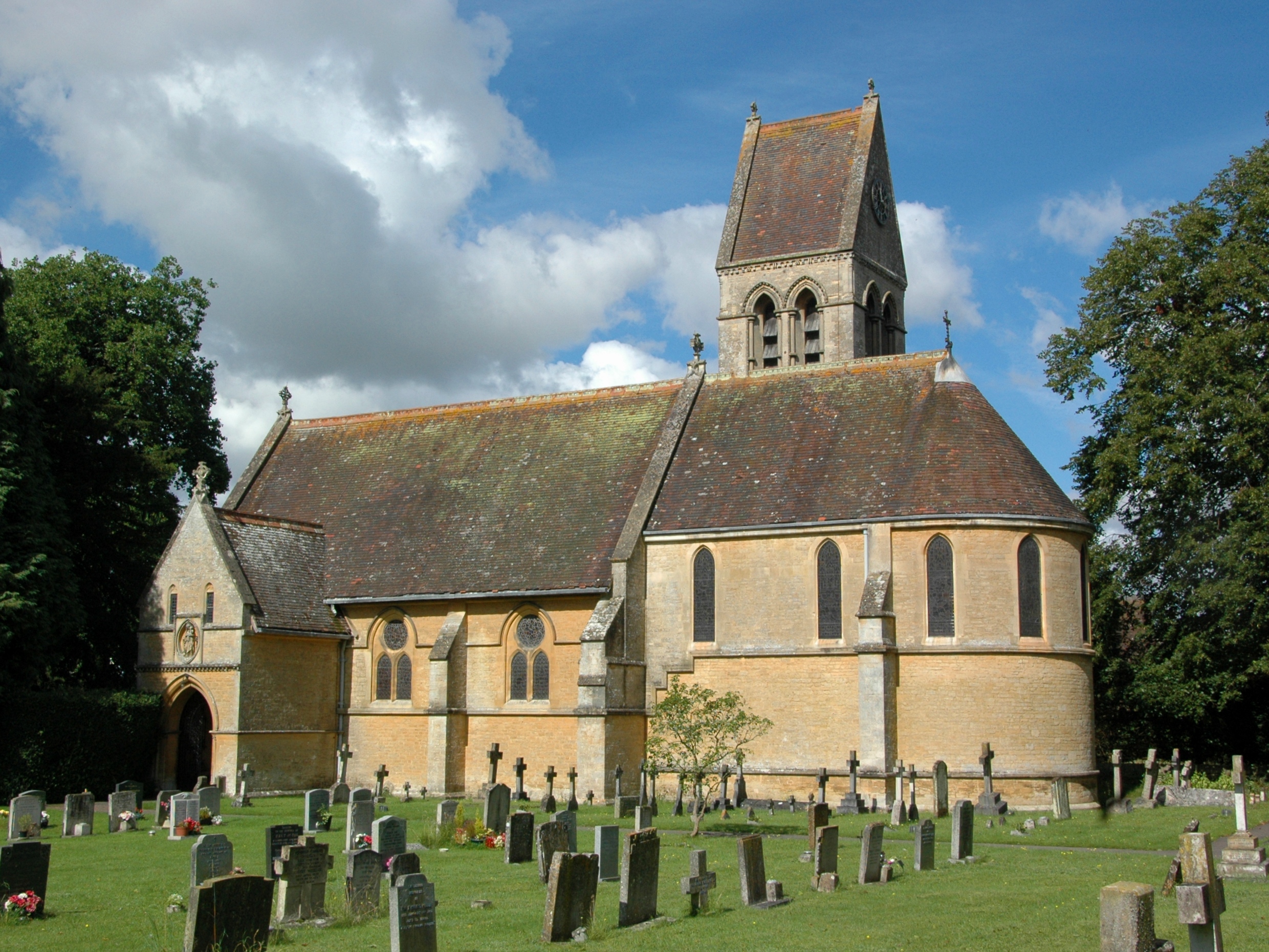
Tilgarsley
Tilgarsley was a village in Oxfordshire. It was recorded as existing in 1279 and was abandoned before 1350 as a result of the Black Death. It is thought...
Barnard Gate
Barnard Gate is a hamlet about 3 miles (4.8 km) east of Witney in Oxfordshire. It has a public house, the Boot Inn. == References ==
Eynsham Hall
Eynsham Hall (known commercially as Estelle Manor) is a Grade II listed mansion near North Leigh in Oxfordshire, England. The original house dating from...
South Leigh
There is also a Southleigh in Devon.South Leigh is a village and civil parish on Limb Brook, a small tributary of the River Thames, about 2+1⁄2 miles...

Church Hanborough
Church Hanborough is a village in Hanborough civil parish about 5 miles (8 km) northeast of Witney in Oxfordshire. == Manor == The Domesday Book of 1086...
North Leigh F.C.
North Leigh Football Club is a football club based in North Leigh, Oxfordshire, England. They are currently members of the Southern League Division One...
Freeland, Oxfordshire
Freeland is a village and civil parish about 4 miles (6.4 km) northeast of Witney in Oxfordshire. The 2021 Census recorded the parish population as 1,490...
Bartholomew School
Bartholomew School is a secondary school with academy status which is situated in the village of Eynsham, West Oxfordshire, England. In the 2016/17 school...
Nearby Amenities
Located within 500m of 51.792998,-1.414181Have you been to Barnard Gate?
Leave your review of Barnard Gate below (or comments, questions and feedback).