Barnard Castle
Settlement in Durham
England
Barnard Castle
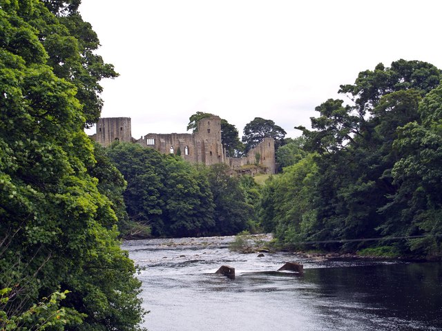
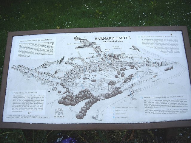
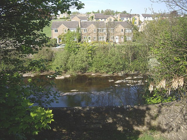
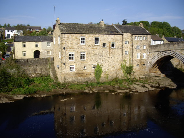
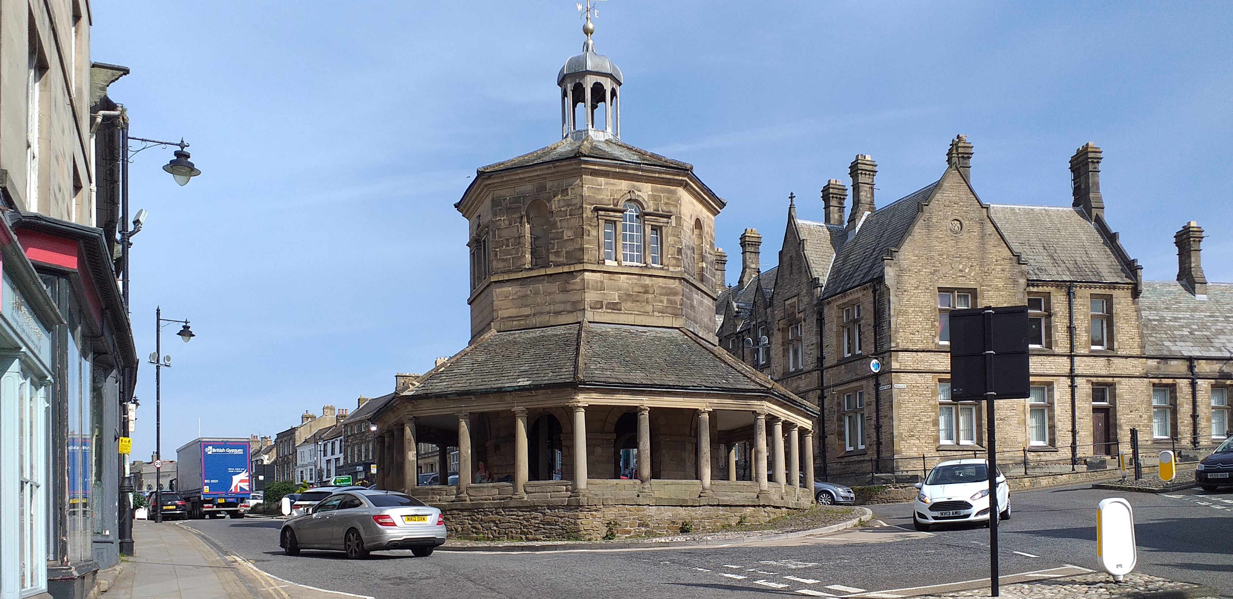
Barnard Castle is a historic market town located in County Durham, England. Situated on the banks of the River Tees, it is known for its picturesque setting, rich history, and architectural charm. The town takes its name from the prominent Barnard Castle, a medieval fortress that dominates the skyline.
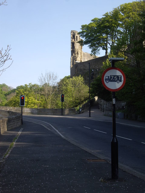
The castle, built in the 12th century, was originally constructed by Bernard de Balliol and has since witnessed a tumultuous past, including sieges and battles. Today, it stands as a dramatic ruin, offering visitors a glimpse into its storied past. A walk through the castle grounds provides stunning views of the surrounding countryside.
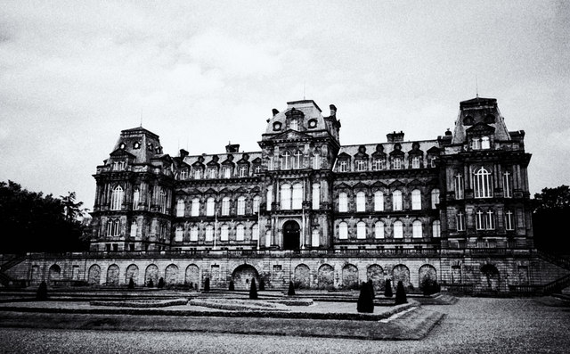
Aside from its iconic castle, the town boasts a wealth of historical architecture. The Bowes Museum, an impressive French-style château, is a notable attraction. This museum houses an extensive collection of art and decorative objects, including works by renowned artists such as Goya and El Greco.
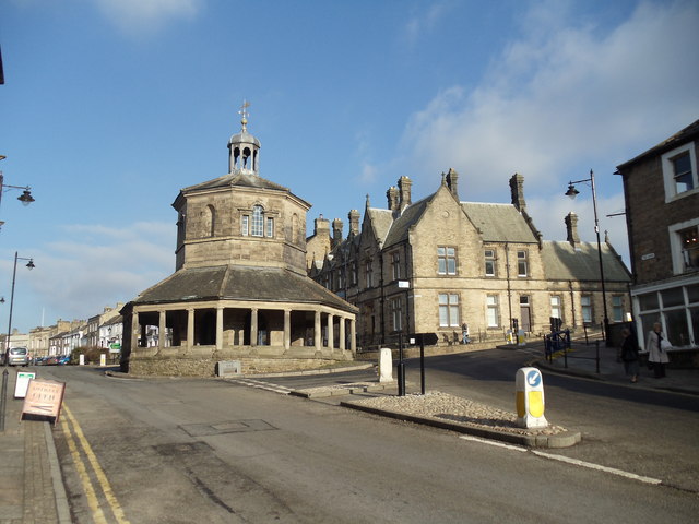
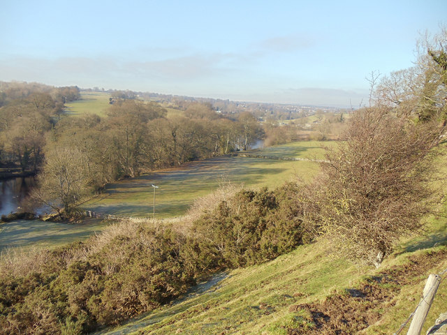
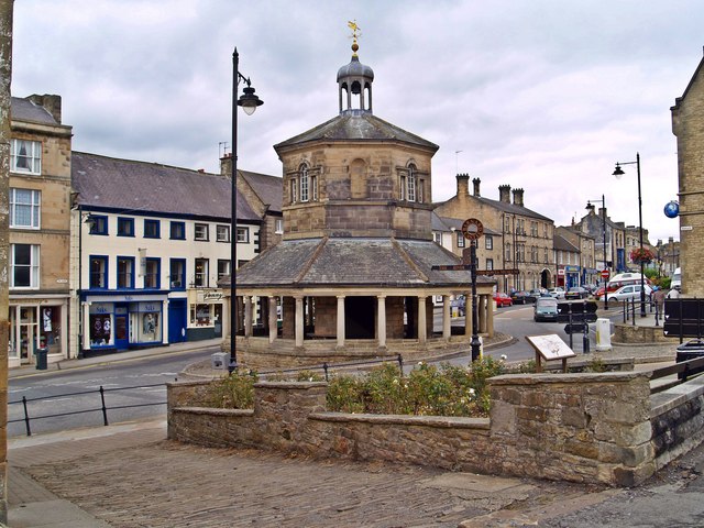
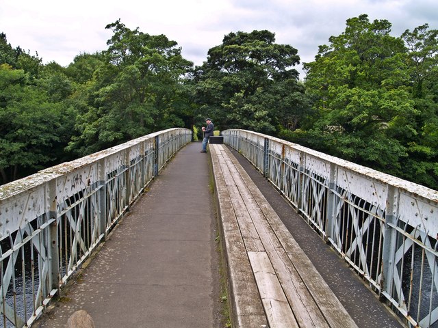
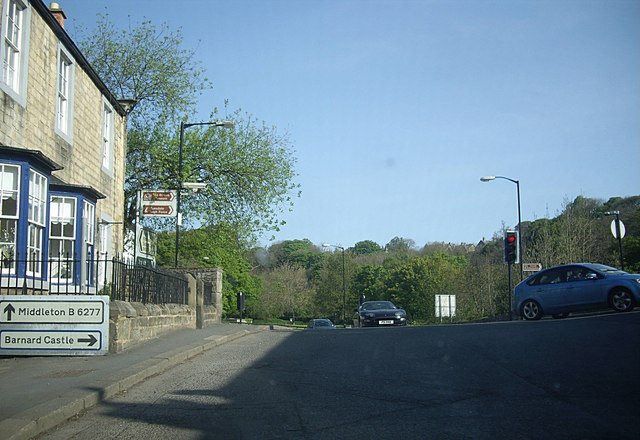
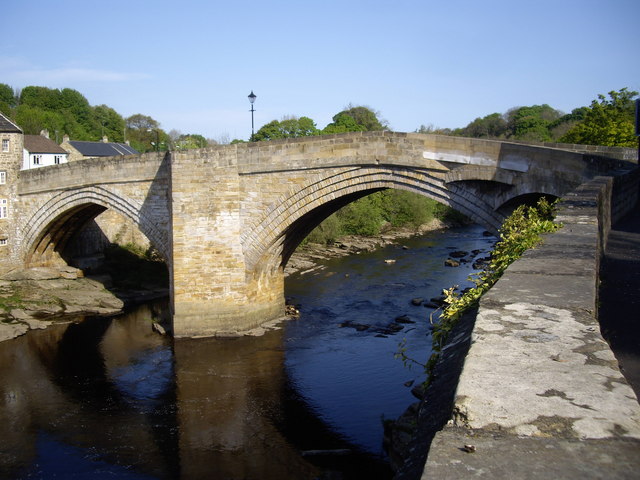
Barnard Castle also offers a range of amenities and activities for visitors. The town center features a variety of independent shops, cafes, and restaurants, as well as a weekly market. The River Tees provides opportunities for leisurely walks along its banks or boating excursions.
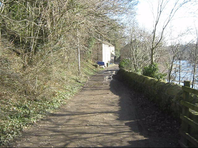
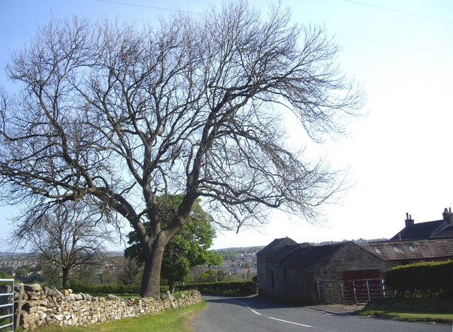
Surrounded by beautiful countryside, Barnard Castle is a gateway to the North Pennines Area of Outstanding Natural Beauty. This designation makes it an ideal base for exploring the stunning landscapes, charming villages, and numerous walking trails in the area.
Overall, Barnard Castle is a captivating town that seamlessly blends its historical significance with natural beauty, making it a popular destination for history enthusiasts, art lovers, and nature seekers alike.
If you have any feedback on the listing, please let us know in the comments section below.
Barnard Castle Images
Images are sourced within 2km of 54.548463/-1.917104 or Grid Reference NZ0517. Thanks to Geograph Open Source API. All images are credited.

Barnard Castle is located at Grid Ref: NZ0517 (Lat: 54.548463, Lng: -1.917104)
Unitary Authority: County Durham
Police Authority: Durham
What 3 Words
///underline.lung.tiny. Near Barnard Castle, Co. Durham
Nearby Locations
Related Wikis
Barnard Castle
Barnard Castle (locally [ˈbɑːnəd ˈkæsəl], BAH-nəd KASS-əl) is a market town on the north bank of the River Tees, in County Durham, England. The town is...
Teesdale School
Teesdale School is a secondary school and sixth form with academy status located in Barnard Castle, County Durham, England. It offers subjects from GCSE...
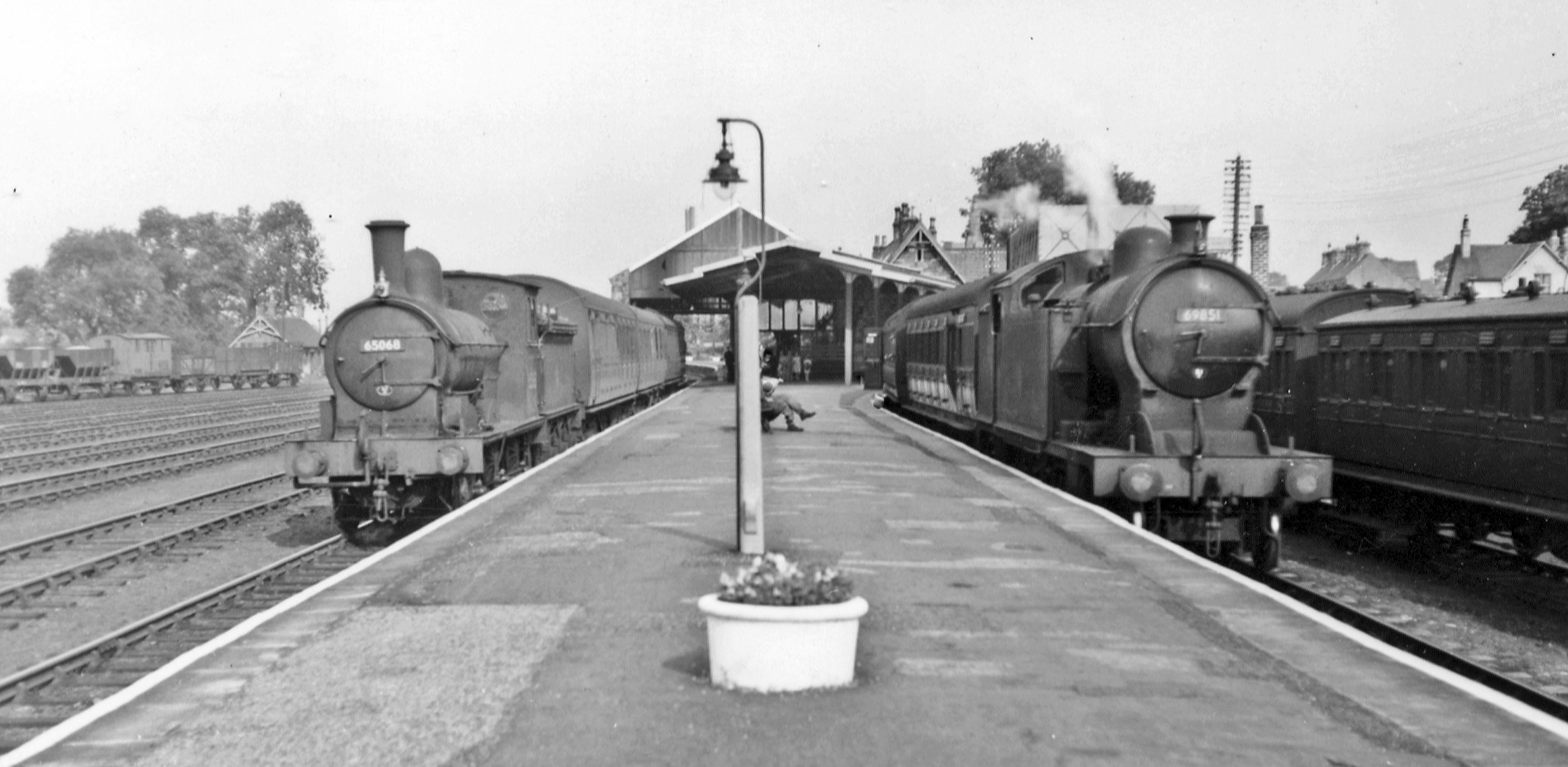
Barnard Castle railway station
Barnard Castle railway station was situated on the South Durham & Lancashire Union Railway between Bishop Auckland and Kirkby Stephen East. The railway...

Radio Teesdale
Radio Teesdale was a community radio station in Barnard Castle, County Durham, serving the Teesdale area of England and owned and operated by Teesdale...
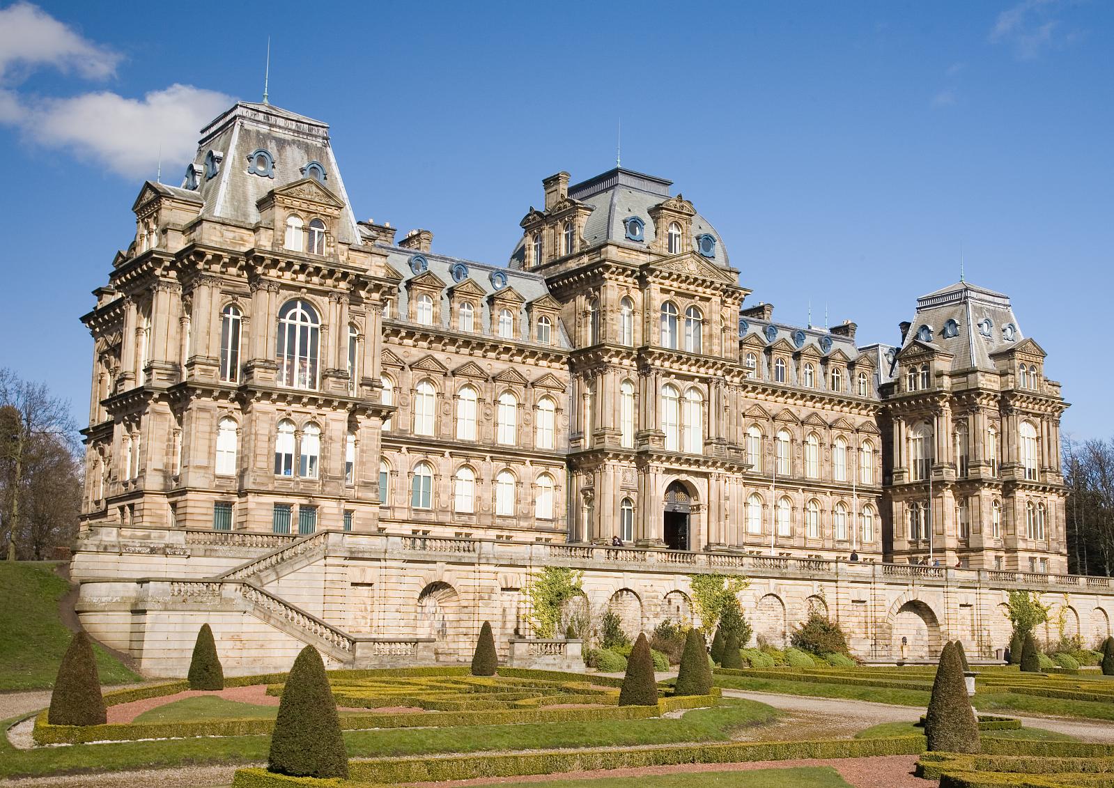
Bowes Museum
The Bowes Museum is an art gallery in the town of Barnard Castle, in County Durham in northern England. It was built to designs by Jules Pellechet and...

Silver Swan (automaton)
The Silver Swan is an automaton dating from the 18th century and now housed in the Bowes Museum, Barnard Castle, Teesdale, County Durham, England. It was...
Barnard Castle Rural District
Barnard Castle was a rural district in County Durham, England from 1894 to 1974. It was named after Barnard Castle but did not include it. It was created...
Teesdale (district)
Teesdale was, from 1974 to 2009, a local government district in County Durham, England. Its council was based in Barnard Castle and it was named after...
Nearby Amenities
Located within 500m of 54.548463,-1.917104Have you been to Barnard Castle?
Leave your review of Barnard Castle below (or comments, questions and feedback).