Barnafield

Settlement in Shetland

Scotland

Barnafield

The end of the road at Queyfirth Three tracks continue, two heading to houses.
The end of the road at Queyfirth Credit: Mike Pennington

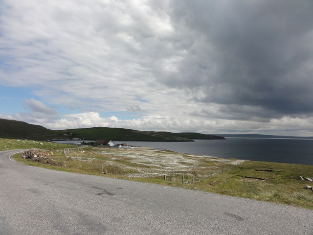
Barnafield is a small, picturesque village located in the Shetland Islands, an archipelago in Scotland, United Kingdom. Situated on the eastern coast of the mainland, Barnafield is surrounded by stunning natural beauty and offers a tranquil and idyllic setting for its residents and visitors.

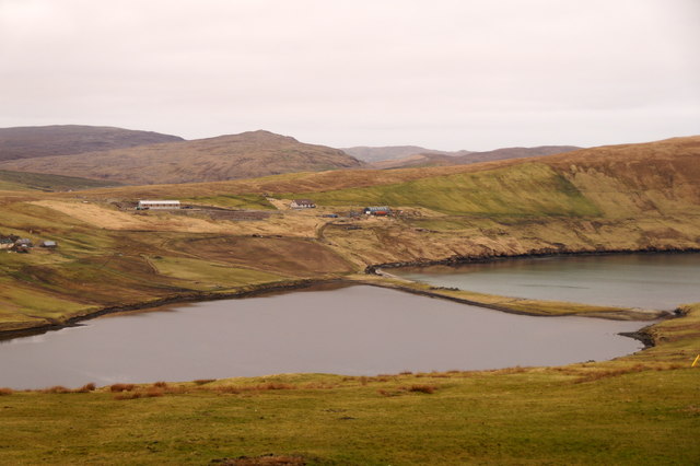
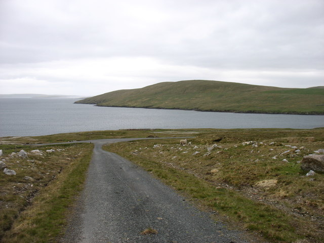
The village is renowned for its rugged coastline, which features dramatic cliffs and breathtaking views of the North Sea. The nearby sandy beaches, such as St. Ninian's Isle and West Voe, are popular spots for leisurely walks and picnics, as well as for observing the diverse wildlife that inhabits the area, including seals, seabirds, and occasionally whales and dolphins.

Barnafield itself is a close-knit community, with a small population that prides itself on its welcoming and friendly atmosphere. The village has a few essential amenities, including a local convenience store and a cozy pub, where locals and tourists alike can enjoy a pint of the traditional Shetland ale.

For history enthusiasts, Barnafield also offers some notable attractions. The ruins of Jarlshof, an ancient settlement dating back over 4,000 years, can be found nearby. This archaeological site showcases the remains of various Norse, Pictish, and Scottish settlements, providing a glimpse into the region's rich past.

Overall, Barnafield is a hidden gem in the Shetland Islands, offering a peaceful retreat for those seeking a slower pace of life and a chance to immerse themselves in the beauty of nature.

If you have any feedback on the listing, please let us know in the comments section below.
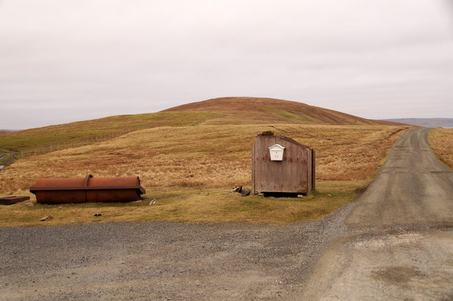
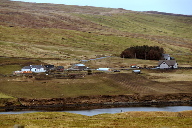
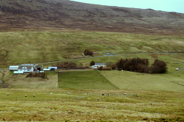
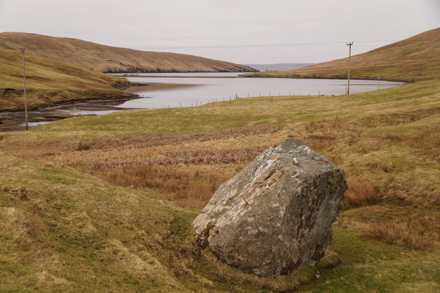
Barnafield Images

Images are sourced within 2km of 60.52018/-1.3825301 or Grid Reference HU3482. Thanks to Geograph Open Source API. All images are credited.

The end of the road at Queyfirth Three tracks continue, two heading to houses.
The end of the road at Queyfirth
Three tracks continue, two heading to houses.
North Collafirth from Queyfirth
South Collafirth from Queyfirth
Loch of Queyfirth from Greystane It should be obvious how the adjacent house gets its name.
Loch of Queyfirth from Greystane
It should be obvious how the adjacent house gets its name.
Loch of Queyfirth from Hill of Ollaberry The loch is really an arm of the sea, with an outflow at low tide and the sea encroaching at high tide.
Loch of Queyfirth from Hill of Ollaberry
The loch is really an arm of the sea, with an outflow at low tide and the sea encroaching at high tide.
Collafirth Hill
Collafirth Hill
Ronas Hill notice The sign shown in <a href="https://www.geograph.org.uk/photo/13928">HU3383 : Collafirth Hill</a> has been replaced: no doubt such signs have a fairly short life in such a harsh environment. It is located at the top of the access road to Collafirth Hill. "Around two hours" is a rather generous allowance: it took me 65 minutes.
Ronas Hill notice
The sign shown in HU3383 : Collafirth Hill has been replaced: no doubt such signs have a fairly short life in such a harsh environment. It is located at the top of the access road to Collafirth Hill. "Around two hours" is a rather generous allowance: it took me 65 minutes.
The track from Collafirth Hill Joining the A970 above Colla Firth.
The track from Collafirth Hill
Joining the A970 above Colla Firth.
The A970 at South Collafirth
Rough grazing by the A970
Hill of Voe Hill of Voe, just the southern end of a gentle ridge, is in the foreground on the right. Ronas Hill <a href="https://www.geograph.org.uk/gridref/HU3083">HU3083</a>, at 450m the highest point in Shetland, looms beyond, with (extreme right) the very top of Mid Field (388m) behind Hill of Voe.
Hill of Voe
Hill of Voe, just the southern end of a gentle ridge, is in the foreground on the right. Ronas Hill HU3083, at 450m the highest point in Shetland, looms beyond, with (extreme right) the very top of Mid Field (388m) behind Hill of Voe.
Swinister and the lane to Urafirth
Ronas Voe The sheep is, I suppose, obeying the rule to face the oncoming traffic. Not that there was much of it to bother him.
Ronas Voe
The sheep is, I suppose, obeying the rule to face the oncoming traffic. Not that there was much of it to bother him.
Swinister Bridge The location of an Ordnance Survey OSBM Bolt, described as: NEW OSBM BOLT N ABUT BR E SIDE RD 7.7M S N END BR (22.595m above Lerwick datum, 2nd order, new 1979).

The bolt on this occasion wasn't found, and I suspect repairs to the bridge over the years has led to its covering up with fresh concrete.
Swinister Bridge
The location of an Ordnance Survey OSBM Bolt, described as: NEW OSBM BOLT N ABUT BR E SIDE RD 7.7M S N END BR (22.595m above Lerwick datum, 2nd order, new 1979). The bolt on this occasion wasn't found, and I suspect repairs to the bridge over the years has led to its covering up with fresh concrete.
Swinister Bridge A close up of the keystone of the bridge, dated 1888.
Swinister Bridge
A close up of the keystone of the bridge, dated 1888.
North Collafirth View along the A970 at North Collafirth
North Collafirth
View along the A970 at North Collafirth
On Collafirth Hill This rocky landscape is 'fellfield' - pieces of sharp-edged rock.  

In the far distance the island of Foula (pronounced 'foola') can just be seen.
On Collafirth Hill
This rocky landscape is 'fellfield' - pieces of sharp-edged rock. In the far distance the island of Foula (pronounced 'foola') can just be seen.
The track down from Collafirth Hill A vessel is berthed at the pier in the Voe of the Brig.
The track down from Collafirth Hill
A vessel is berthed at the pier in the Voe of the Brig.
Show me another place!

Barnafield is located at Grid Ref: HU3482 (Lat: 60.52018, Lng: -1.3825301)

Unitary Authority: Shetland Islands

Police Authority: Highlands and Islands

What 3 Words

///removals.unclaimed.candles. Near Toft, Shetland Islands

Nearby Locations

Barnafield

Related Wikis

Voe, Northmavine

Voe is a settlement on the Northmavine peninsula of Mainland, Shetland, Scotland. It is at the head of Ronas Voe and just off the A970 road. == Whaling... ==

Northmavine

Northmavine or Northmaven (Old Norse: Norðan Mæfeið, meaning ‘the land north of the Mavis Grind’) is a peninsula in northwest Mainland Shetland in Scotland...

Ollaberry

Ollaberry (Old Norse: Olafrsberg, meaning Olaf's Hill) is a village on Mainland, Shetland, Scotland on the west shore of Yell Sound, 10.9 miles (17.5 km...

Eela Water

Eela Water is a freshwater loch (lake) in Northmavine, part of the mainland of Shetland in Scotland. Besides being a freshwater fishing location, the site...

Nearby Amenities

Located within 500m of 60.52018,-1.3825301
Post Box
Brand: Royal Mail
Brand Wikidata: Q638098
Mapillary: 419911643339177
Operator: Royal Mail
Operator Wikidata: Q638098
Post Box Mounting: pier
Post Box Type: lamp
Ref: ZE2 5
Survey Date: 2022-05-27
Lat/Long: 60.5188784/-1.3775665
Passing Place
Lat/Long: 60.5168233/-1.3779008
Passing Place
Lat/Long: 60.5179673/-1.3768016
Passing Place
Lat/Long: 60.5195196/-1.3759325
Passing Place
Lat/Long: 60.5217077/-1.3761702
Telephone
Booth: K6
Covered: booth
Phone: +44 1806 544207
Lat/Long: 60.51837/-1.3776942
Power: pole
Lat/Long: 60.5164644/-1.384795
Power: pole
Lat/Long: 60.5170637/-1.3840976
Power: pole
Lat/Long: 60.5176208/-1.3833788
Power: pole
Lat/Long: 60.5181105/-1.382786
Power: pole
Lat/Long: 60.5186584/-1.3821209
Power: pole
Lat/Long: 60.5192431/-1.3814315
Power: pole
Lat/Long: 60.5197302/-1.3808253
Power: pole
Lat/Long: 60.5203017/-1.380136
Power: pole
Lat/Long: 60.5208007/-1.3795272
Power: pole
Lat/Long: 60.5212719/-1.3789666
Power: pole
Lat/Long: 60.5223344/-1.3777113
Power: pole
Lat/Long: 60.5229693/-1.3769549
Power: pole
Lat/Long: 60.52314/-1.381426
Power: pole
Lat/Long: 60.5232403/-1.3807634
Power: pole
Lat/Long: 60.5233523/-1.3799868
Power: pole
Lat/Long: 60.523469/-1.3791768
Power: pole
Lat/Long: 60.5235893/-1.3784051
Power: pole
Lat/Long: 60.5236801/-1.3777843
Power: pole
Lat/Long: 60.5237639/-1.3772283
Power: pole
Lat/Long: 60.5232167/-1.3775231
The data included in this document is from www.openstreetmap.org. The data is made available under ODbL.

Have you been to Barnafield?

Leave your review of Barnafield below (or comments, questions and feedback).