Bonner Hill

Hill, Mountain in Nottinghamshire Gedling

England

Bonner Hill

Carrington Lane, Calverton
Carrington Lane, Calverton Credit: Jonathan Thacker

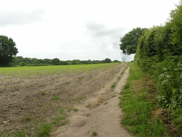
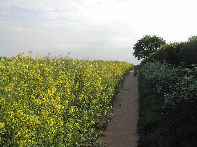
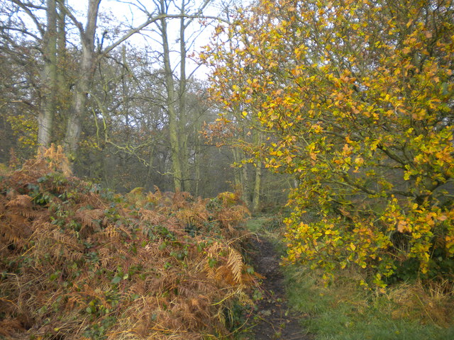
Bonner Hill is a prominent geographical feature located in the county of Nottinghamshire, England. Rising to an elevation of approximately 262 feet (80 meters), it is classified as a hill rather than a mountain due to its relatively modest height. Situated near the village of Bonner Hill, this natural formation offers picturesque views of the surrounding countryside.

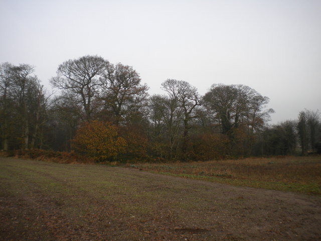
The hill is characterized by its gentle slopes and lush greenery, which make it an ideal spot for hiking, nature walks, and outdoor activities. It is covered in a mix of woodland and open grassland, providing a diverse habitat for a variety of flora and fauna. The hill is home to several species of plants and animals, including rabbits, squirrels, and a wide range of bird species.

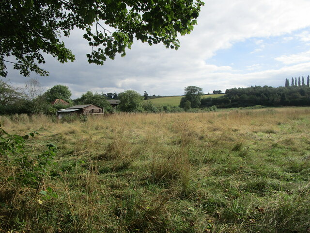
From the summit of Bonner Hill, visitors can enjoy panoramic views of the Nottinghamshire landscape, with rolling hills, farmland, and scattered villages dotting the scenery. On clear days, it is even possible to glimpse the city of Nottingham in the distance.

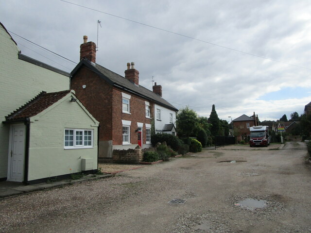
Bonner Hill is a popular destination for locals and tourists alike, offering a tranquil escape from the hustle and bustle of urban life. Its accessibility, with well-maintained footpaths and public transportation options, makes it an attractive destination for outdoor enthusiasts of all ages and abilities.

Overall, Bonner Hill is a charming natural landmark in Nottinghamshire, providing a serene environment for relaxation and exploration while offering breathtaking vistas of the surrounding countryside.

If you have any feedback on the listing, please let us know in the comments section below.
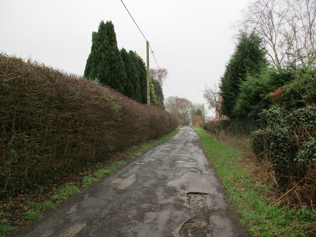
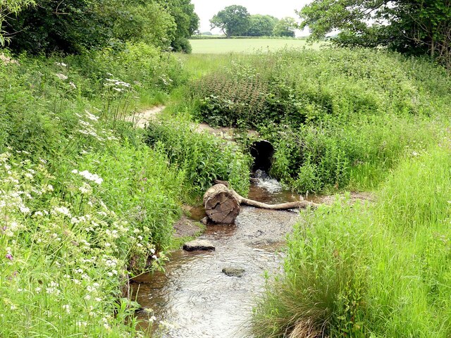
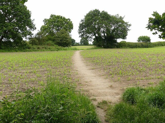
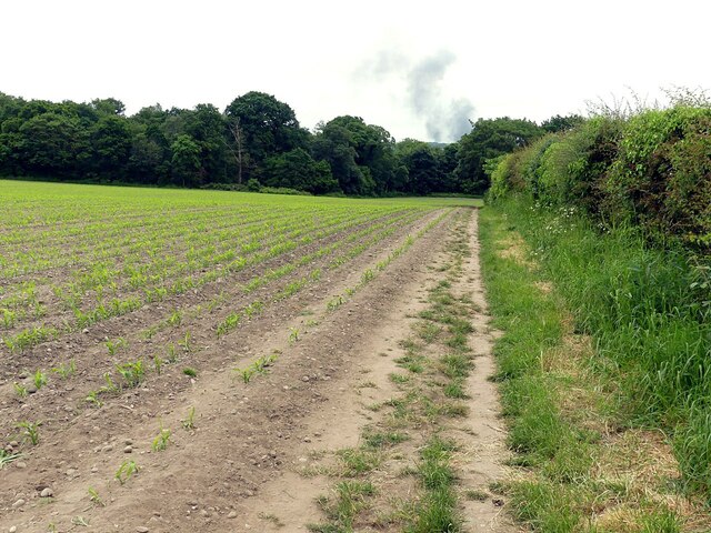
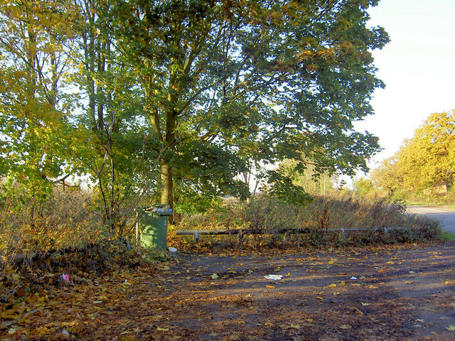
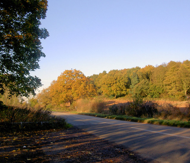
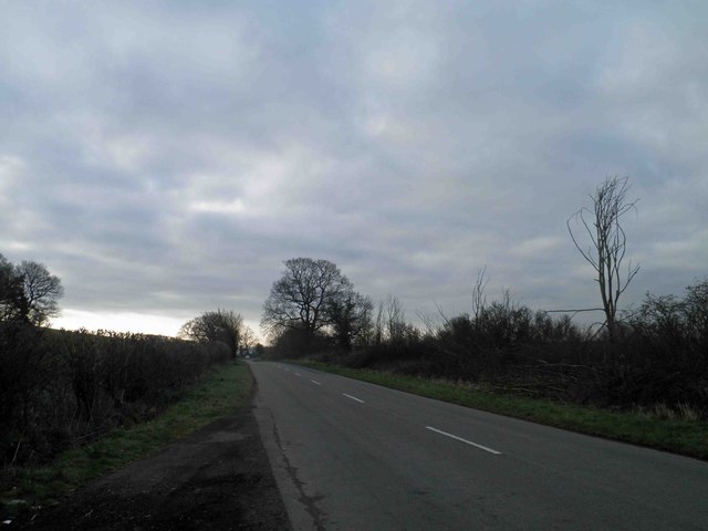
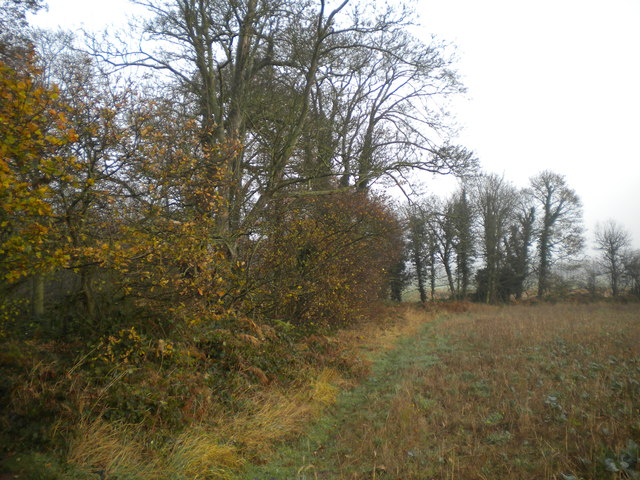
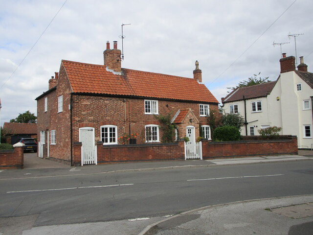
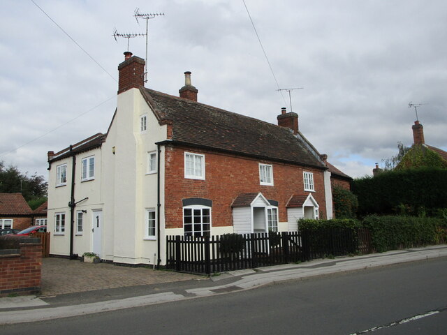
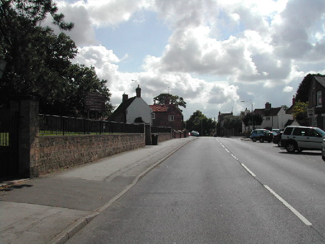
Bonner Hill Images

Images are sourced within 2km of 53.030488/-1.0687327 or Grid Reference SK6248. Thanks to Geograph Open Source API. All images are credited.

Carrington Lane, Calverton
Confluence of the Dover Beck and the beck from Oxton The Dover Beck flows out through the large pipe which takes it under the footpath. Mapping indicates it as a footbridge, which it may well have been in days gone by..
Confluence of the Dover Beck and the beck from Oxton
The Dover Beck flows out through the large pipe which takes it under the footpath. Mapping indicates it as a footbridge, which it may well have been in days gone by..
Footpath across the field leaving Thorndale Plantation Older maps show the path running to the right, right through the field to its far corner, rather than crossing the field to run along the headland by the hedge, as it does now, in accordance with the current definitive route.
Footpath across the field leaving Thorndale Plantation
Older maps show the path running to the right, right through the field to its far corner, rather than crossing the field to run along the headland by the hedge, as it does now, in accordance with the current definitive route.
Footpath long the hedgerow Older maps show it running diagonally across the field to close to the dead tree.
Footpath long the hedgerow
Older maps show it running diagonally across the field to close to the dead tree.
Footpath to Oxton Taken at the point where it leaves the narrow lane for the first few 10s of metres of Carrington Lane. It recreates this picture <a title="https://www.geograph.org.uk/photo/34723" href="https://www.geograph.org.uk/photo/34723">Link</a> which was previously the 'First' for the adjacent square, but proved to have been incorrectly located.
Footpath to Oxton
Taken at the point where it leaves the narrow lane for the first few 10s of metres of Carrington Lane. It recreates this picture Link which was previously the 'First' for the adjacent square, but proved to have been incorrectly located.
Calverton Business Park
Hoyle Road, Calverton Business Park
Path between Calverton and Oxton The rape in full flower
Path between Calverton and Oxton
The rape in full flower
Picnic area on Epperstone Road The leaves are even later falling here this Autumn.
Picnic area on Epperstone Road
The leaves are even later falling here this Autumn.
Autumn tints Epperstone Park.
Autumn tints
Epperstone Park.
B6386 Epperstone Road
Thorndale Plantation, Calverton (2) This rather hard to discern footpath skirts the south eastern edge of Thorndale Plantation on its way to Oxton.
Thorndale Plantation, Calverton (2)
This rather hard to discern footpath skirts the south eastern edge of Thorndale Plantation on its way to Oxton.
Thorndale Plantation, Calverton (3) This path turns left just beyond the clump of ferns and follows the southern edge of the plantation, before swinging south to meet Mansfield Lane on the northern fringe of Calverton.
Thorndale Plantation, Calverton (3)
This path turns left just beyond the clump of ferns and follows the southern edge of the plantation, before swinging south to meet Mansfield Lane on the northern fringe of Calverton.
Thorndale Plantation, Calverton (4) The southernmost point of the plantation, seen from the footpath across a field to Carrington Lane (on the fringe of Calverton).
Thorndale Plantation, Calverton (4)
The southernmost point of the plantation, seen from the footpath across a field to Carrington Lane (on the fringe of Calverton).
Rough grassland on the edge of Calverton
Burnor Pool, Calverton A private road but a public footpath.
Burnor Pool, Calverton
A private road but a public footpath.
18 Main Street, Calverton The greater part dates from the late eighteenth century <span class="nowrap"><a title="https://historicengland.org.uk/listing/the-list/list-entry/1264854" rel="nofollow ugc noopener" href="https://historicengland.org.uk/listing/the-list/list-entry/1264854">Link</a><img style="margin-left:2px;" alt="External link" title="External link - shift click to open in new window" src="https://s1.geograph.org.uk/img/external.png" width="10" height="10"/></span>
18 Main Street, Calverton
The greater part dates from the late eighteenth century LinkExternal link
14 and 16 Main Street, Calverton Early eighteenth century house now divided into two <span class="nowrap"><a title="https://historicengland.org.uk/listing/the-list/list-entry/1227471" rel="nofollow ugc noopener" href="https://historicengland.org.uk/listing/the-list/list-entry/1227471">Link</a><img style="margin-left:2px;" alt="External link" title="External link - shift click to open in new window" src="https://s1.geograph.org.uk/img/external.png" width="10" height="10"/></span>
14 and 16 Main Street, Calverton
Early eighteenth century house now divided into two LinkExternal link
Show me another place!

Bonner Hill is located at Grid Ref: SK6248 (Lat: 53.030488, Lng: -1.0687327)

Administrative County: Nottinghamshire

District: Gedling

Police Authority: Nottinghamshire

What 3 Words

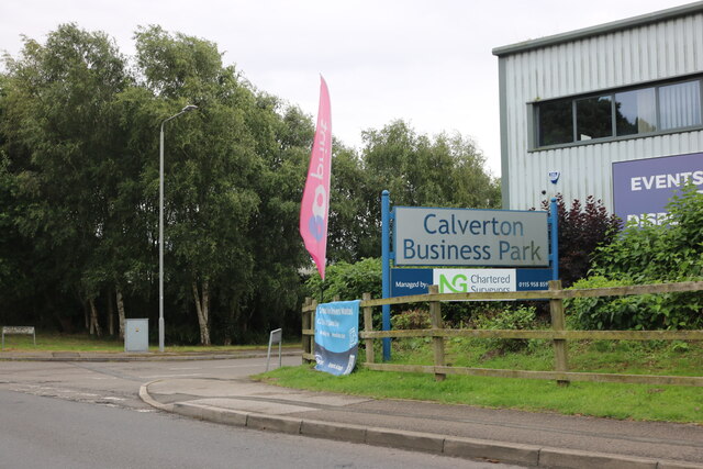
///played.upward.trams. Near Calverton, Nottinghamshire

Nearby Locations

Bonner Hill

Related Wikis

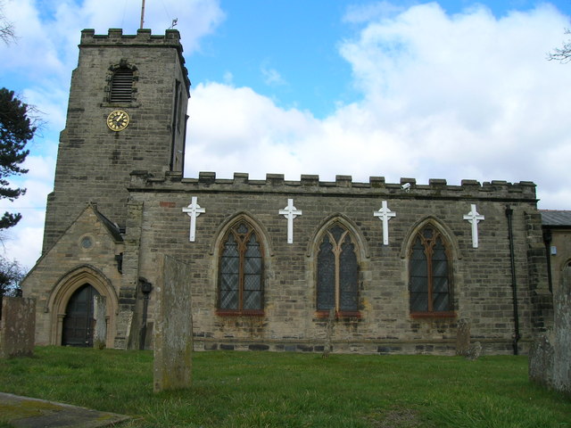
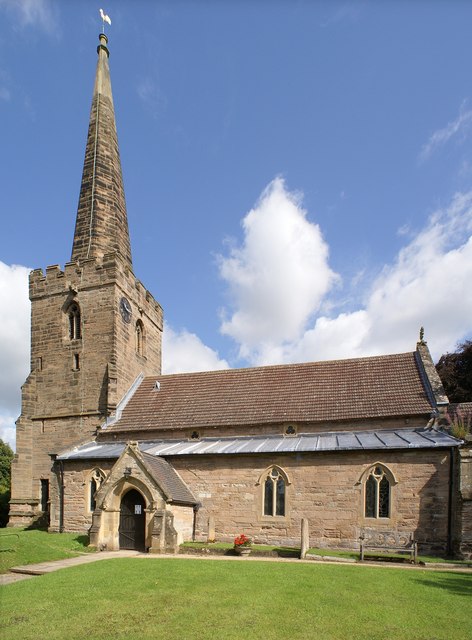
St Wilfrid's Church, Calverton

St Wilfrid's Church is a Grade II* listed parish church in the Church of England in Calverton, Nottinghamshire. == History == St Wilfrid’s church seems...

St Swithun's Church, Woodborough

St Swithun's Church is a parish church in the Church of England in Woodborough, Nottinghamshire. == History == The church is medieval with the chancel...

Calverton, Nottinghamshire

Calverton () is a village and civil parish in Nottinghamshire, of some 3,300 acres (1,300 ha), in the Gedling district, about 7 miles north-east of Nottingham...

Woodborough, Nottinghamshire

Woodborough is a village and civil parish in the Gedling district, in the county of Nottinghamshire, England. It is located 7 miles north-east of Nottingham...

Colonel Frank Seely Academy

Colonel Frank Seely Academy (formerly Colonel Frank Seely School) is a coeducational secondary school and sixth form located in Calverton in the English...

Holy Cross Church, Epperstone

Holy Cross Church is a Grade I listed parish church in the Church of England at Epperstone in the Diocese of Southwell and Nottingham. == History == The...

HM Prison Lowdham Grange

HM Prison Lowdham Grange is a Category B men's private prison, located in the village of Lowdham (near Nottingham) in Nottinghamshire, England. The prison...

Calverton Miners' Welfare F.C.

Calverton Miners' Welfare Football Club is an association football club in Calverton, near Nottingham, Nottinghamshire, England. They are currently members...

Nearby Amenities

Located within 500m of 53.030488,-1.0687327
The data included in this document is from www.openstreetmap.org. The data is made available under ODbL.

Have you been to Bonner Hill?

Leave your review of Bonner Hill below (or comments, questions and feedback).