Coney Hill

Hill, Mountain in Yorkshire Ryedale

England

Coney Hill

Location of Gilling East Surface Block <span class="nowrap"><a title="http://trigpointing.uk/trig/160" rel="nofollow ugc noopener" href="http://trigpointing.uk/trig/160">Link</a><img style="margin-left:2px;" alt="External link" title="External link - shift click to open in new window" src="https://s1.geograph.org.uk/img/external.png" width="10" height="10"/></span>
Location of Gilling East Surface Block Credit: thejackrustles

Coney Hill is a prominent hill located in the county of Yorkshire, England. Situated in the beautiful countryside, it forms part of the larger Pennine range, which stretches across the northern part of the country. Standing at an elevation of approximately 400 meters (1,300 feet), Coney Hill offers breathtaking panoramic views of the surrounding landscape.

The hill is characterized by its rolling green slopes and a rugged terrain, adorned with heather, grasses, and scattered shrubs. It is also home to a diverse range of flora and fauna, making it a popular destination for nature enthusiasts and hikers alike. The hill's unique geological features, including exposed rock formations, add to its charm and intrigue.

Access to Coney Hill is relatively easy as there are well-defined footpaths and trails leading up to its summit. These paths offer varying levels of difficulty, accommodating both seasoned climbers and casual walkers. The summit itself provides an ideal spot for picnics or simply enjoying the stunning vistas.

Coney Hill holds historical significance as well. It is believed to have been inhabited by humans since the prehistoric era. Archaeological findings in the vicinity have uncovered artifacts and remnants from ancient settlements, providing a glimpse into the area's rich past.

All in all, Coney Hill is a captivating natural landmark that showcases the beauty and diversity of Yorkshire's countryside. Its picturesque scenery, accessible trails, and historical significance make it a must-visit destination for anyone exploring the region.

If you have any feedback on the listing, please let us know in the comments section below.
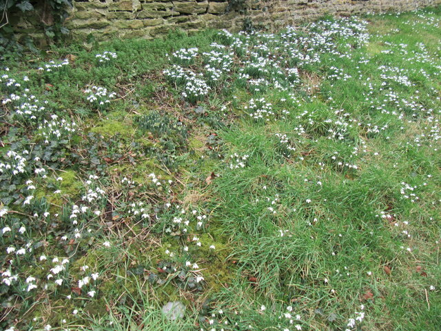
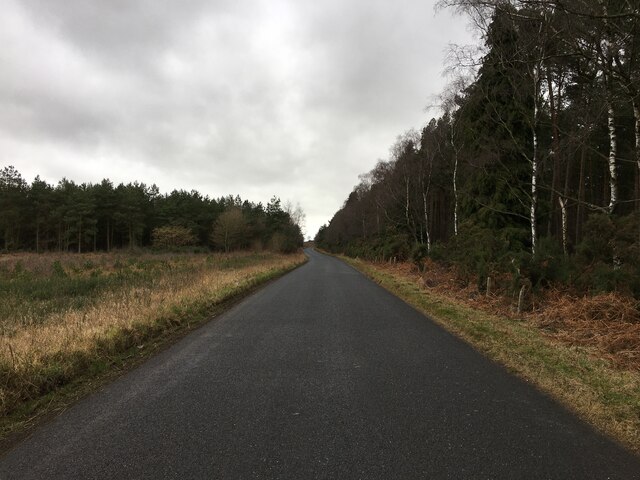
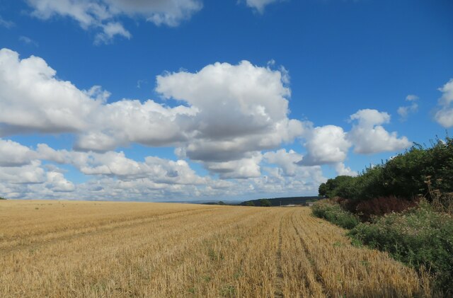
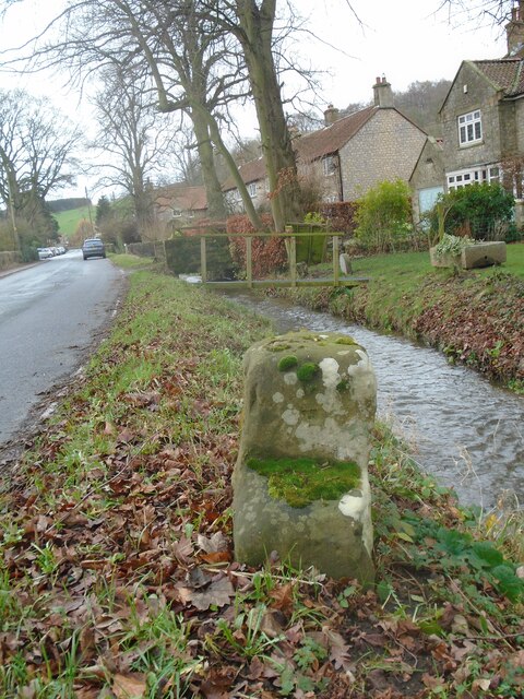
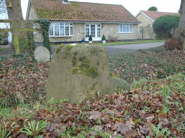
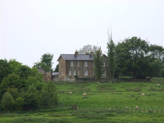
Coney Hill Images

Images are sourced within 2km of 54.171094/-1.0443337 or Grid Reference SE6275. Thanks to Geograph Open Source API. All images are credited.

Location of Gilling East Surface Block <span class="nowrap"><a title="http://trigpointing.uk/trig/160" rel="nofollow ugc noopener" href="http://trigpointing.uk/trig/160">Link</a><img style="margin-left:2px;" alt="External link" title="External link - shift click to open in new window" src="https://s1.geograph.org.uk/img/external.png" width="10" height="10"/></span>
Location of Gilling East Surface Block
Gilling East, Holy Cross church The benchmark is cut into the west facing wall of the church tower.
Gilling East, Holy Cross church
The benchmark is cut into the west facing wall of the church tower.
Gilling East, Holy Cross church There is a benchmark cut into the west facing wall of the church tower.
Gilling East, Holy Cross church
There is a benchmark cut into the west facing wall of the church tower.
Cawton, farm building The benchmark is cut into a left cornerstone of this roadside farm building, and is about 4ft from ground level.
Cawton, farm building
The benchmark is cut into a left cornerstone of this roadside farm building, and is about 4ft from ground level.
Cawton, farm building There is a benchmark cut into a left cornerstone of this roadside farm building, and is about 4ft from ground level.
Cawton, farm building
There is a benchmark cut into a left cornerstone of this roadside farm building, and is about 4ft from ground level.
Snowdrops in Coulton A good display of snowdrops in Coulton.
Snowdrops in Coulton
A good display of snowdrops in Coulton.
Road across Grimston Moor
Church of the Holy Cross, Gilling East Holy Cross Church is a parish church which serves the village and parish of Gilling East. The parish contains the villages of Gilling, Cawton, and Grimston. It is Grade I-listed (List Entry Number 1296322 <span class="nowrap"><a title="https://historicengland.org.uk/listing/the-list/list-entry/1296322?section=official-list-entry" rel="nofollow ugc noopener" href="https://historicengland.org.uk/listing/the-list/list-entry/1296322?section=official-list-entry">Link</a><img style="margin-left:2px;" alt="External link" title="External link - shift click to open in new window" src="https://s1.geograph.org.uk/img/external.png" width="10" height="10"/></span> Historic England).

The oldest part of the church, the arcade dates from around the year 1200. The chancel was added early in the 14th century, and the southern arcade was added slightly later. The tower was added in the late 15th century.
Church of the Holy Cross, Gilling East
Holy Cross Church is a parish church which serves the village and parish of Gilling East. The parish contains the villages of Gilling, Cawton, and Grimston. It is Grade I-listed (List Entry Number 1296322 LinkExternal link Historic England). The oldest part of the church, the arcade dates from around the year 1200. The chancel was added early in the 14th century, and the southern arcade was added slightly later. The tower was added in the late 15th century.
Holy Cross Church, Gilling East Holy Cross Church is a parish church which serves the village and parish of Gilling East. The parish contains the villages of Gilling, Cawton, and Grimston. It is Grade I-listed (List Entry Number 1296322 <span class="nowrap"><a title="https://historicengland.org.uk/listing/the-list/list-entry/1296322?section=official-list-entry" rel="nofollow ugc noopener" href="https://historicengland.org.uk/listing/the-list/list-entry/1296322?section=official-list-entry">Link</a><img style="margin-left:2px;" alt="External link" title="External link - shift click to open in new window" src="https://s1.geograph.org.uk/img/external.png" width="10" height="10"/></span> Historic England).

The oldest part of the church, the arcade dates from around the year 1200. The chancel was added early in the 14th century, and the southern arcade was added slightly later. The tower was added in the late 15th century.
Holy Cross Church, Gilling East
Holy Cross Church is a parish church which serves the village and parish of Gilling East. The parish contains the villages of Gilling, Cawton, and Grimston. It is Grade I-listed (List Entry Number 1296322 LinkExternal link Historic England). The oldest part of the church, the arcade dates from around the year 1200. The chancel was added early in the 14th century, and the southern arcade was added slightly later. The tower was added in the late 15th century.
Gilling East War Memorial Arch at Holy Cross Church The War memorial at Gilling East forms the entrance archway to the Parish Church of the Holy Cross. It commemorates the residents of Gilling East, Grimstone and Cawton who were killed or missing in the First World War. The names of 13 men are shown on 2 bronze plaques fixed to the pillars on either side of the archway. Of these 13 names, 7 were from the Yorkshire Regiment.

Wide buttressed pillars support a Tudor arch topped with a stone slate hipped roof. A form of Fleury cross in stone rises from the centre. The lintel carries a raised inscription, in white outlined in gold paint and on a red background, in Gothic lettering and reading: 
In Memory of the men of Gilling East, Grimstone and Cawton who gave their lives in the Great War 1914 1919. 

The memorial is Grade II-listed (List Entry Number: 1392270 <span class="nowrap"><a title="https://historicengland.org.uk/listing/the-list/list-entry/1392270?section=official-list-entry" rel="nofollow ugc noopener" href="https://historicengland.org.uk/listing/the-list/list-entry/1392270?section=official-list-entry">Link</a><img style="margin-left:2px;" alt="External link" title="External link - shift click to open in new window" src="https://s1.geograph.org.uk/img/external.png" width="10" height="10"/></span> Historic England).
Gilling East War Memorial Arch at Holy Cross Church
The War memorial at Gilling East forms the entrance archway to the Parish Church of the Holy Cross. It commemorates the residents of Gilling East, Grimstone and Cawton who were killed or missing in the First World War. The names of 13 men are shown on 2 bronze plaques fixed to the pillars on either side of the archway. Of these 13 names, 7 were from the Yorkshire Regiment. Wide buttressed pillars support a Tudor arch topped with a stone slate hipped roof. A form of Fleury cross in stone rises from the centre. The lintel carries a raised inscription, in white outlined in gold paint and on a red background, in Gothic lettering and reading: In Memory of the men of Gilling East, Grimstone and Cawton who gave their lives in the Great War 1914 1919. The memorial is Grade II-listed (List Entry Number: 1392270 LinkExternal link Historic England).
Station Road, Gilling East
Fairfax Arms, Gilling East
Heading for Coulton Footpath number 25.24/6 follows this field edge towards Coulton. No doubt progress would have been more difficult before the cereal crop was harvested.
Heading for Coulton
Footpath number 25.24/6 follows this field edge towards Coulton. No doubt progress would have been more difficult before the cereal crop was harvested.
New milepost This is one of several replacement mileposts set up by Ryedale Urban District Council about 2010/11.  They were cast at Cleveland Corrosion in Staithes.   Authentic, as they have the hands pointing the wrong way as the original was cast by Mattison's of Bedale.
New milepost
This is one of several replacement mileposts set up by Ryedale Urban District Council about 2010/11. They were cast at Cleveland Corrosion in Staithes. Authentic, as they have the hands pointing the wrong way as the original was cast by Mattison's of Bedale.
Old milestone One of four remaining stepstone milestones set up by the York to Oswaldkirk Bank turnpike trust first enacted in 1768.   It was agreed in the Minutes of 1772 to set up stones at 3 mile intervals with wooden posts in the intervening miles.  Each stone had the mileage to York and Helmsley inscribed but most of the legends are illegible now. This one is York 18/Helmsley 5.
Old milestone
One of four remaining stepstone milestones set up by the York to Oswaldkirk Bank turnpike trust first enacted in 1768. It was agreed in the Minutes of 1772 to set up stones at 3 mile intervals with wooden posts in the intervening miles. Each stone had the mileage to York and Helmsley inscribed but most of the legends are illegible now. This one is York 18/Helmsley 5.
Old milestone A view across the small stream by the milestone showing a stone to commemorate the Queen's Sapphire jubilee.  The front face of the milestone has the remnants of the legend YORK/18.   HELMSLEY/5, once inscribed on the left face, has completely eroded away.
Old milestone
A view across the small stream by the milestone showing a stone to commemorate the Queen's Sapphire jubilee. The front face of the milestone has the remnants of the legend YORK/18. HELMSLEY/5, once inscribed on the left face, has completely eroded away.
Blossom Tree a Blossom tree near Grimston Manor.
Blossom Tree
a Blossom tree near Grimston Manor.
Grimston view Looking west.
Grimston view
Looking west.
Show me another place!

Coney Hill is located at Grid Ref: SE6275 (Lat: 54.171094, Lng: -1.0443337)

Division: North Riding

Administrative County: North Yorkshire

District: Ryedale

Police Authority: North Yorkshire

What 3 Words

///dissolves.reviews.ticked. Near Helmsley, North Yorkshire

Related Wikis

Grimstone, North Yorkshire

Grimstone or Grimston is a hamlet and civil parish in North Yorkshire, England. It lies beside the main B1363 road between York and Helmsley. Grimston...

Coulton, North Yorkshire

Coulton is a village and civil parish in the Ryedale district of North Yorkshire, England, it is about 6 miles (9.7 km) south of Helmsley. == History... ==

Holy Cross Church, Gilling

Holy Cross Church is a parish church which serves the village and parish of Gilling East in North Yorkshire, England. The parish contains the villages...

Gilling East

Gilling East is a village and civil parish in North Yorkshire, England, on the main B1363 road between York and Helmsley, 2 miles (3.2 km) south of Oswaldkirk...

St Martin's Ampleforth

St Martin's Ampleforth (SMA) was a private school and the preparatory school for Ampleforth College, which closed in July 2020. Until 2018 it was at Gilling...

Gilling Castle

Gilling Castle is a Grade I listed country house near Gilling East, North Yorkshire, England (grid reference SE611768). == History == The castle was originally...

Gilling railway station

Gilling railway station is a disused railway station in North Yorkshire, England that served the village of Gilling East. East of it, the Gilling and Pickering...

Cawton

Cawton is a village and civil parish in North Yorkshire, England, about ten miles west of Malton. According to the 2001 census it had a population of...

Related Videos

Gilling East & Yearsley Moor, Howardian Hills - 14 November 2021

A 13 mile walk around the woodland of Gilling East and Yearsley Moor.

The Ryedale Socierty of Model Engineers August Bank Holiday Gala 2021

The Ryedale Society of Model Engineers Limited (RSMEL) is a group of like-minded model railway engineers of wide ranging ...

Fridays Test Running with Wardle Road at RSME

Fridays Test running before August Bank Holiday Gala 2021 with Wardle Road's Gresley 01 Clas 2-8-0 NO 485 running in Great ...

Trains at Colton Junction - 30/06/2020

The coronavirus has put hold on big plans lets say. Since the begining of the lockdown in late March, the whole of the UK was put ...

Nearby Amenities

Located within 500m of 54.171094,-1.0443337
The data included in this document is from www.openstreetmap.org. The data is made available under ODbL.

Have you been to Coney Hill?

Leave your review of Coney Hill below (or comments, questions and feedback).