Top Vals Hill
Hill, Mountain in Nottinghamshire Mansfield
England
Top Vals Hill
Top Vals Hill is a prominent geographical feature located in Nottinghamshire, England. It is classified as a hill, rather than a mountain, due to its relatively modest height. Situated in the northeastern part of the county, Top Vals Hill is part of the wider landscape of the Nottinghamshire countryside.
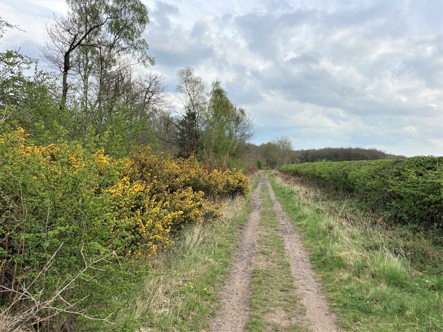
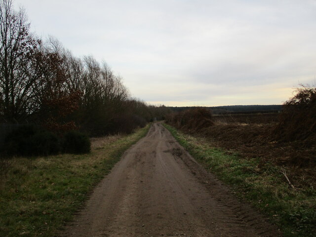
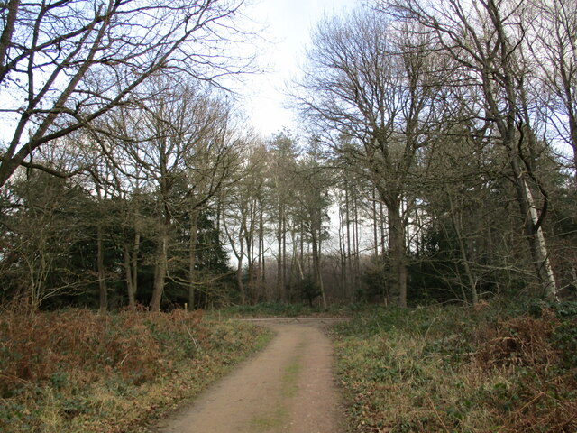
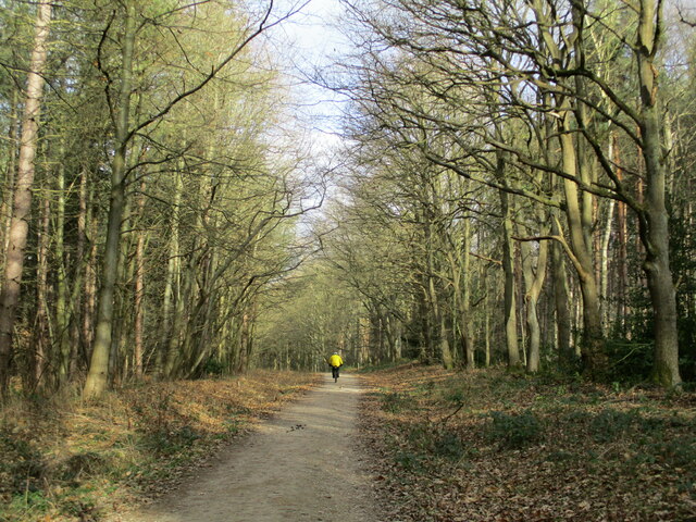
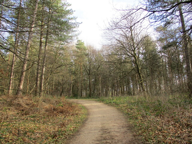
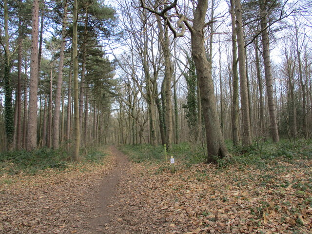
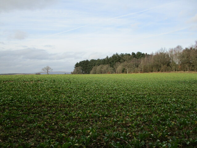
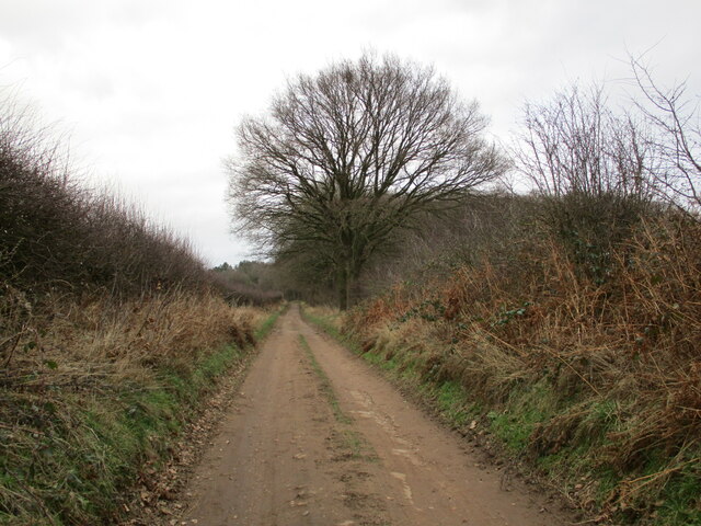
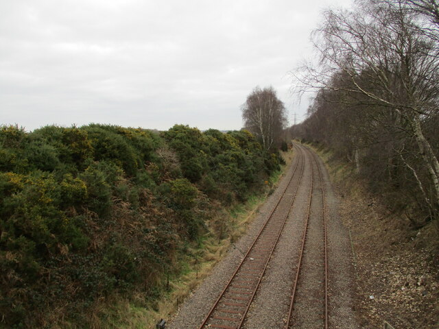
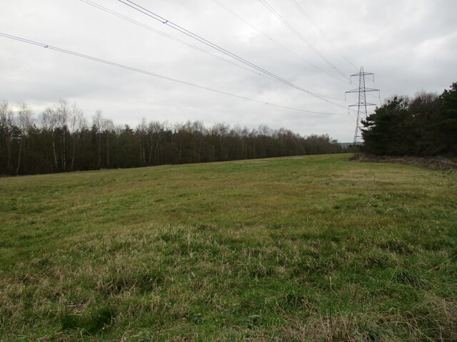
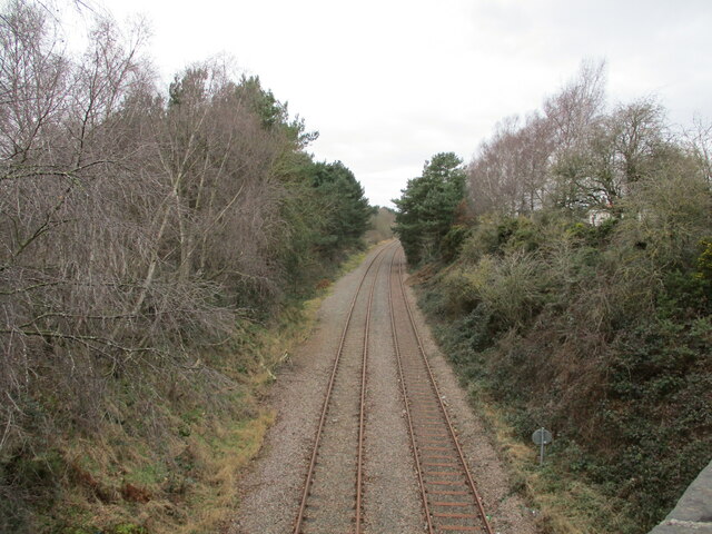
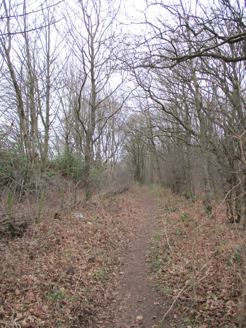
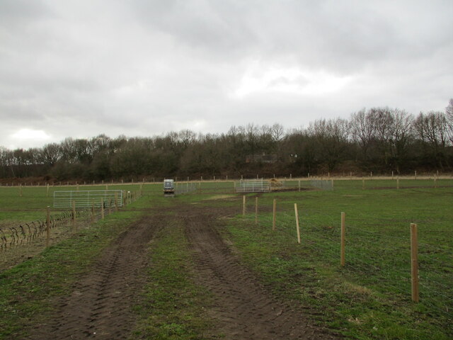
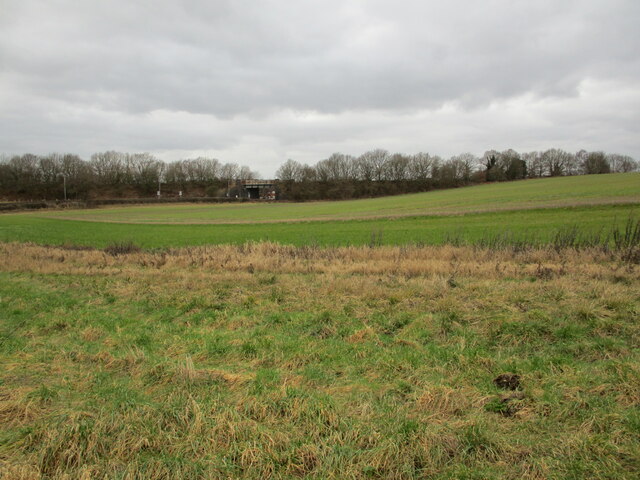
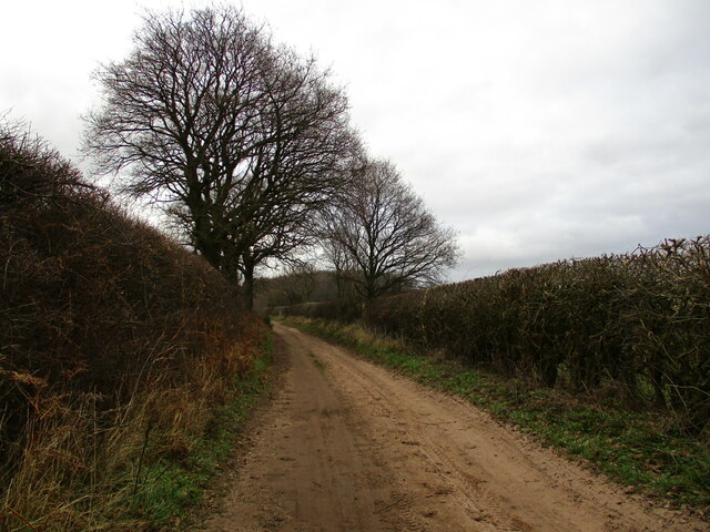
Rising to an elevation of approximately 150 meters (492 feet), Top Vals Hill offers stunning panoramic views of the surrounding area. From its summit, visitors can enjoy sweeping vistas of rolling green fields, scattered woodland, and the picturesque countryside that characterizes this region. The hill is accessible via tracks and footpaths, making it a popular destination for hikers, nature enthusiasts, and those seeking a peaceful retreat from the hustle and bustle of urban life.
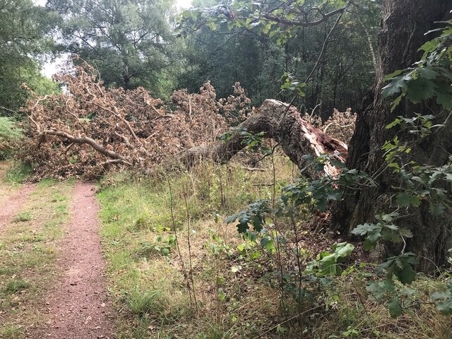
Top Vals Hill is known for its diverse flora and fauna, with a variety of plant species and wildlife inhabiting its slopes. The hill's natural beauty is further enhanced by the presence of wildflowers, including bluebells and primroses, which carpet the landscape during the spring months.
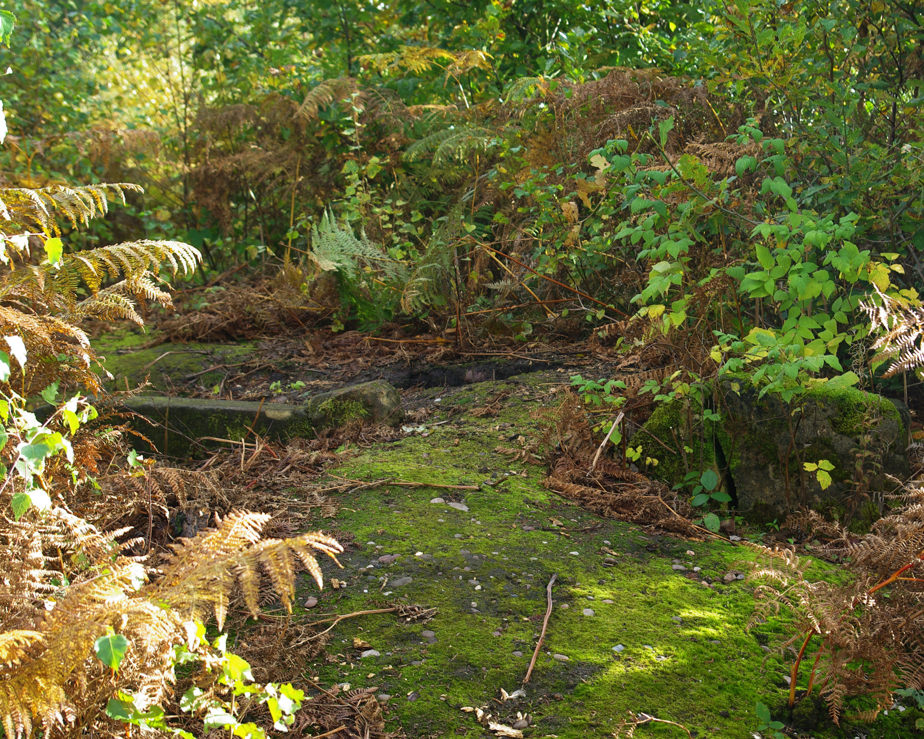
The hill also holds historical significance, with evidence of ancient settlements and archaeological remains in the vicinity. These remnants offer a glimpse into the area's rich and varied past, adding an additional layer of intrigue to Top Vals Hill.
Overall, Top Vals Hill is a cherished natural landmark in Nottinghamshire, offering a tranquil retreat and a chance to immerse oneself in the region's natural and historical heritage.
If you have any feedback on the listing, please let us know in the comments section below.
Top Vals Hill Images
Images are sourced within 2km of 53.198492/-1.1151698 or Grid Reference SK5967. Thanks to Geograph Open Source API. All images are credited.
Top Vals Hill is located at Grid Ref: SK5967 (Lat: 53.198492, Lng: -1.1151698)
Administrative County: Nottinghamshire
District: Mansfield
Police Authority: Nottinghamshire
What 3 Words
///issued.custodial.lied. Near King's Clipstone, Nottinghamshire
Nearby Locations
Related Wikis
Thynghowe
Thynghowe was an important Viking Era open-air assembly place or thing, located at Sherwood Forest, in Nottinghamshire, England. It was lost to history...

Sherwood Forest Railway
The Sherwood Forest Railway (SFR) is a 15 in (381 mm) gauge light railway running through the old site of the Sherwood Forest Farm Park in Nottinghamshire...

Warsop
Warsop is a town and civil parish in Mansfield District, Nottinghamshire, England, on the outskirts of the remnants of Sherwood Forest. At the 2001 census...
Meden School
Meden School is a mixed secondary school and sixth form in Market Warsop, Nottinghamshire, England, with 860 pupils at the Ofsted report of 2014, of which...

Kings Clipstone
Kings Clipstone is a settlement and civil parish, in the Newark and Sherwood district, in the county of Nottinghamshire, England. The parish lies in the...

Church Warsop
Church Warsop is a village in Nottinghamshire, England. It is located 1 mile north of Warsop and is within the Warsop civil parish. The parish church...

King John's Palace
King John's Palace is the remains of a former medieval royal residence in Clipstone, north-west Nottinghamshire. The name "King John's Palace" has been...

Warsop Town Hall
Warsop Town Hall is a municipal building in Church Street in Warsop, Nottinghamshire, England. The building is home to Warsop Parish Council, and was formerly...
Have you been to Top Vals Hill?
Leave your review of Top Vals Hill below (or comments, questions and feedback).