The Lings

Wood, Forest in Nottinghamshire Mansfield

England

The Lings

Wooded track Follows the margin between the open heath of Budby South Forest and the wooded area around the Sherwood Forest Visitor Centre, centring on the Major Oak.
Wooded track Credit: David Lally

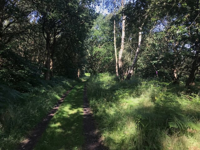
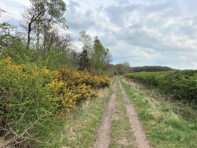
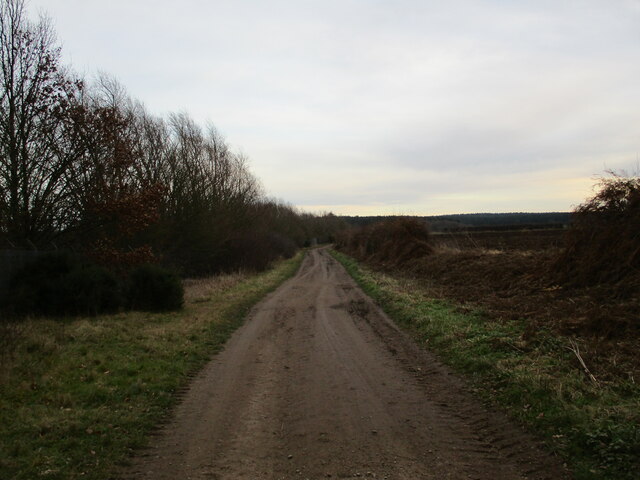
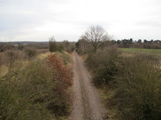
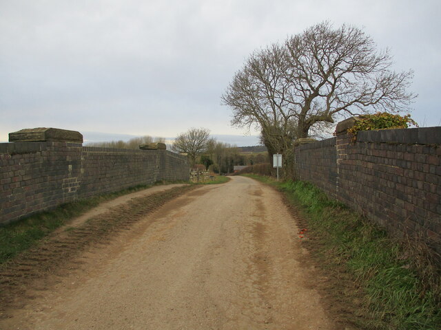
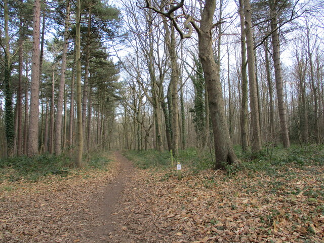
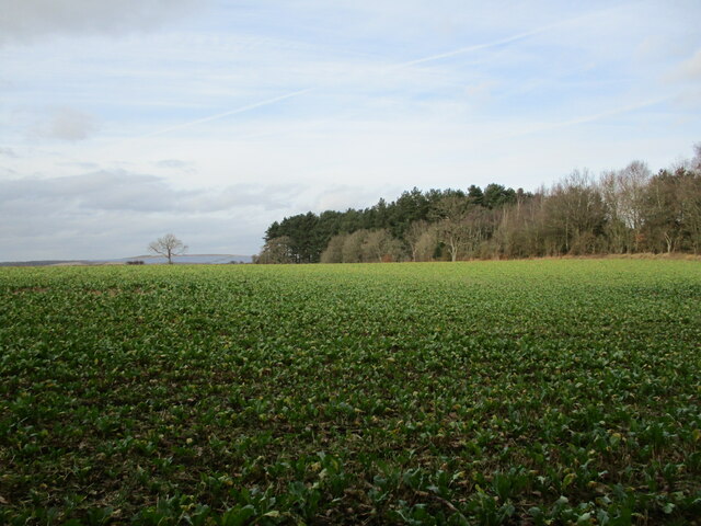
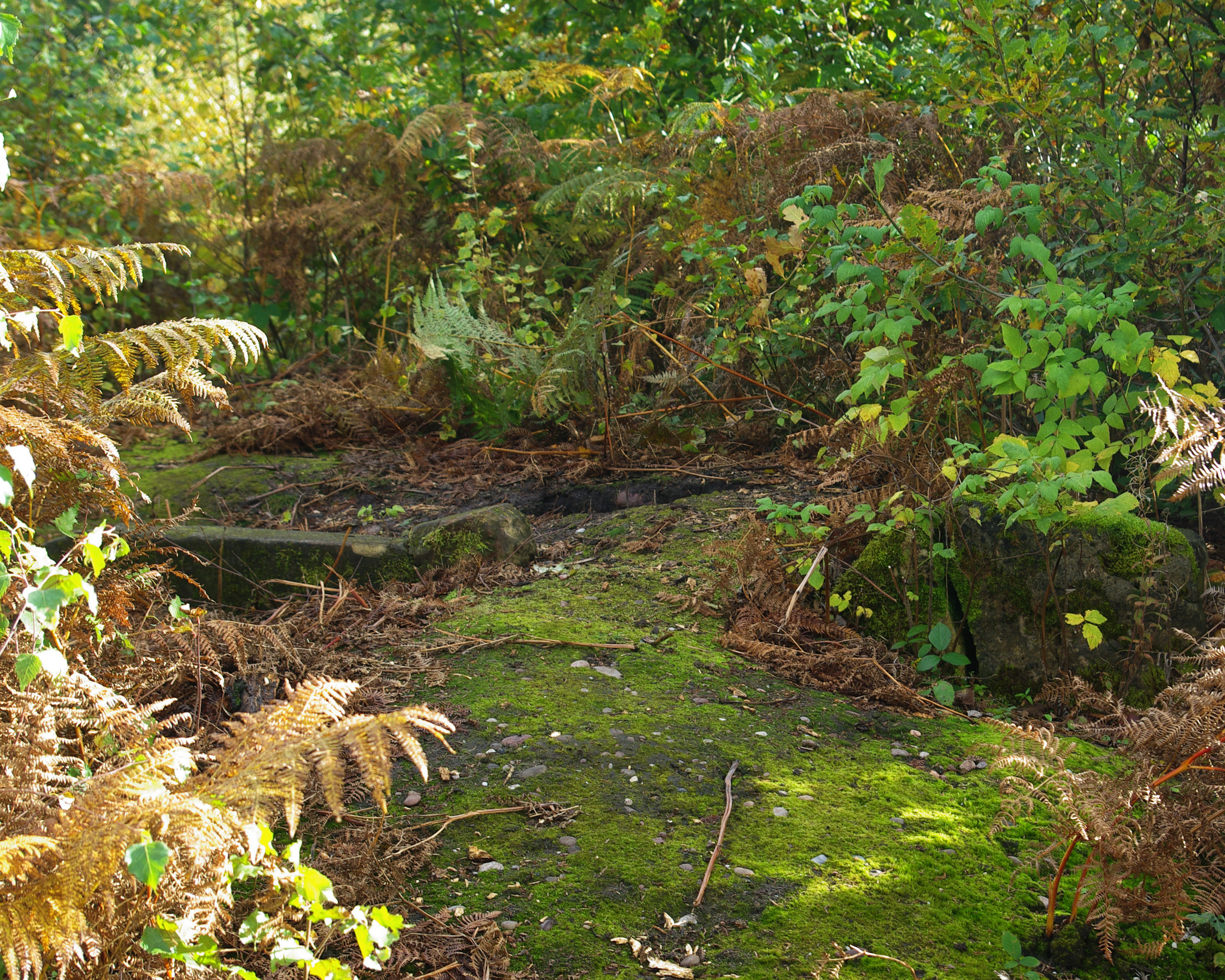
The Lings is a charming woodland area located in Nottinghamshire, England. Spread over an area of approximately 100 acres, it is nestled within the beautiful Sherwood Forest. The Lings is known for its lush greenery, diverse wildlife, and tranquil atmosphere, making it a popular destination for nature enthusiasts and hikers.

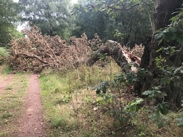
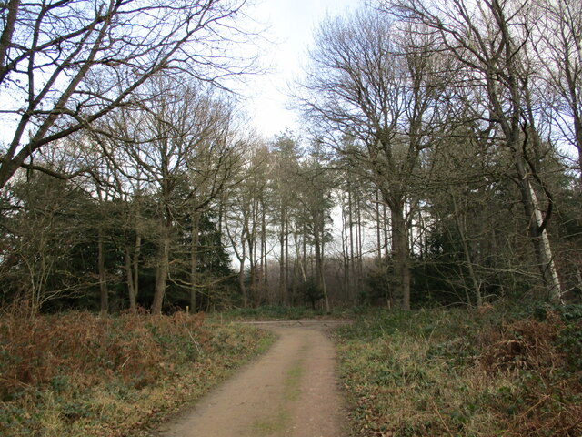
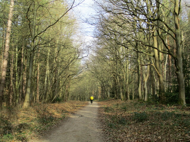
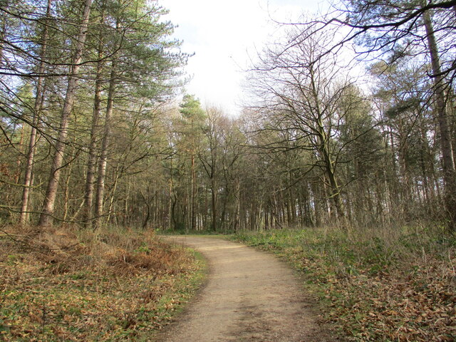
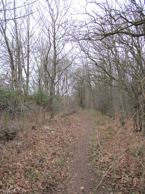
The woodland is predominantly composed of oak trees, which create a dense canopy, allowing only scattered sunlight to filter through. This creates a unique ambiance, with dappled light illuminating the forest floor. The Lings is home to a wide variety of flora and fauna, including bluebells, foxgloves, and wood anemones. The forest floor is covered in a thick carpet of moss and ferns, adding to the enchanting atmosphere.

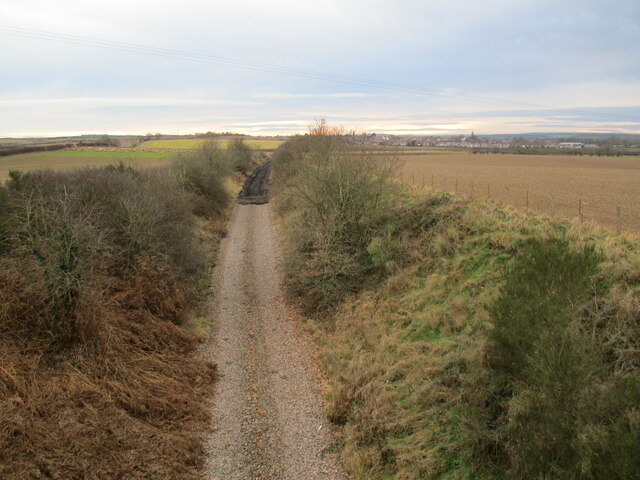
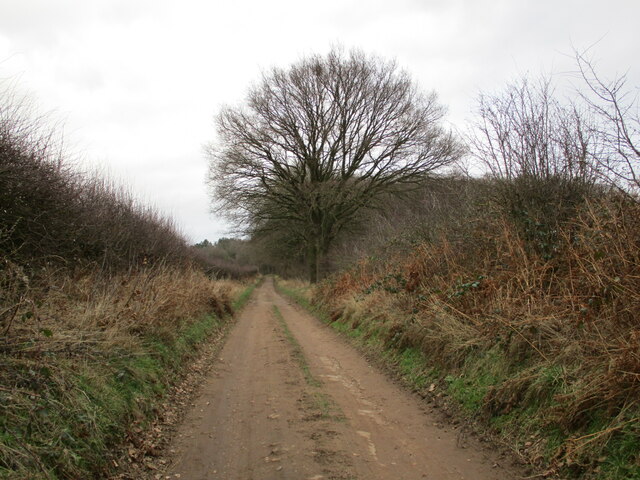
Visitors to The Lings can explore the numerous walking trails that wind through the woodland, providing an opportunity to immerse themselves in nature and enjoy the peaceful surroundings. The area also boasts a small pond, attracting a range of bird species, including kingfishers and herons.

The Lings is managed by the Nottinghamshire Wildlife Trust, who actively work to preserve and protect the woodland and its inhabitants. The trust organizes regular educational activities and events, allowing visitors to learn more about the local ecology and wildlife.

Overall, The Lings in Nottinghamshire is a tranquil and picturesque woodland, offering a serene escape from the hustle and bustle of everyday life.

If you have any feedback on the listing, please let us know in the comments section below.

The Lings Images

Images are sourced within 2km of 53.201674/-1.1150744 or Grid Reference SK5967. Thanks to Geograph Open Source API. All images are credited.

Wooded track Follows the margin between the open heath of Budby South Forest and the wooded area around the Sherwood Forest Visitor Centre, centring on the Major Oak.
Wooded track
Follows the margin between the open heath of Budby South Forest and the wooded area around the Sherwood Forest Visitor Centre, centring on the Major Oak.
Naturism sign The area around Budby South Forest is a popular area for naturist walking.  After some discussions, in particular with a local man who has walked naked in this area for many years, these signs have been put up.

I was not complying with the last of these requests at the time of taking this photo as I was only carrying my car key and phone!
Naturism sign
The area around Budby South Forest is a popular area for naturist walking. After some discussions, in particular with a local man who has walked naked in this area for many years, these signs have been put up. I was not complying with the last of these requests at the time of taking this photo as I was only carrying my car key and phone!
Track and Gorse in Sherwood Forest Flowering, coconut-scented gorse on the track's edge in the Cipstone Old Quarter area of Sherwood Forest.
Track and Gorse in Sherwood Forest
Flowering, coconut-scented gorse on the track's edge in the Cipstone Old Quarter area of Sherwood Forest.
Broken oak tree With a large branch bocking a path through the forest
Broken oak tree
With a large branch bocking a path through the forest
Broomhill Lane A bridleway,
Broomhill Lane
A bridleway,
The trackbed of the former Welbeck Colliery branch The colliery opened in 1912 and closed in 2011.
The trackbed of the former Welbeck Colliery branch
The colliery opened in 1912 and closed in 2011.
The trackbed of the former Welbeck Colliery branch The colliery opened in 1912 and closed in 2011.
Removal of the ballast has taken place in the distance.
The trackbed of the former Welbeck Colliery branch
The colliery opened in 1912 and closed in 2011. Removal of the ballast has taken place in the distance.
Prepared field off Broomhill Lane
Broomhill Lane crossing the former Welbeck Colliery branch railway
Junction of tracks, Hangar Hill
Cyclist in the woods Top Vals Hill.
Cyclist in the woods
Top Vals Hill.
Track, Top Vals Hill
Thynghowe Trail, Windmill Plantation
Crop of sugar beet and The Lings
Blakeley Lane A bridleway to The Lings.
Blakeley Lane
A bridleway to The Lings.
Footpath, Windmill Plantation
No-one goes out on a Sunday Bowring Transport, Bradmer Hill.
No-one goes out on a Sunday
Bowring Transport, Bradmer Hill.
Warsop Windmill A former tower mill now adapted <span class="nowrap"><a title="https://historicengland.org.uk/listing/the-list/list-entry/1074946?section=official-listing" rel="nofollow ugc noopener" href="https://historicengland.org.uk/listing/the-list/list-entry/1074946?section=official-listing">Link</a><img style="margin-left:2px;" alt="External link" title="External link - shift click to open in new window" src="https://s1.geograph.org.uk/img/external.png" width="10" height="10"/></span>
Warsop Windmill
A former tower mill now adapted LinkExternal link
Show me another place!

The Lings is located at Grid Ref: SK5967 (Lat: 53.201674, Lng: -1.1150744)

Administrative County: Nottinghamshire

District: Mansfield

Police Authority: Nottinghamshire

What 3 Words

///balconies.author.hiring. Near Market Warsop, Nottinghamshire

Related Wikis

Thynghowe

Thynghowe was an important Viking Era open-air assembly place or thing, located at Sherwood Forest, in Nottinghamshire, England. It was lost to history...

Sherwood Forest Railway

The Sherwood Forest Railway (SFR) is a 15 in (381 mm) gauge light railway running through the old site of the Sherwood Forest Farm Park in Nottinghamshire...

Warsop

Warsop is a town and civil parish in Mansfield District, Nottinghamshire, England, on the outskirts of the remnants of Sherwood Forest. At the 2001 census...

Meden Vale

Meden Vale is a small former coal mining village originally known as Welbeck Colliery Village prior to renaming in the late 1960s.It is situated close...

Meden School

Meden School is a mixed secondary school and sixth form in Market Warsop, Nottinghamshire, England, with 860 pupils at the Ofsted report of 2014, of which...

Church Warsop

Church Warsop is a village in Nottinghamshire, England. It is located 1 mile north of Warsop and is within the Warsop civil parish. The parish church...

Warsop Town Hall

Warsop Town Hall is a municipal building in Church Street in Warsop, Nottinghamshire, England. The building is home to Warsop Parish Council, and was formerly...

St Peter and St Paul's Church, Church Warsop

St Peter and St Paul's Church, Church Warsop is a Grade I listed parish church in the Church of England in Church Warsop. Several gravestones, the boundary...

Have you been to The Lings?

Leave your review of The Lings below (or comments, questions and feedback).