Whinny Cross Hill

Hill, Mountain in Yorkshire Hambleton

England

Whinny Cross Hill

Old milepost Another one of the Mattison's of Bedale Highways District posts with the wrong hands.   It was cast in the late 19thC.     The current Ryedale Urban District Council are good at looking after and even replacing lost mileposts.  In January 2007 this one was found horizontal and out of the ground.   It was reset in February 2007 but is now ready for a repaint.
Old milepost Credit: Chris Minto

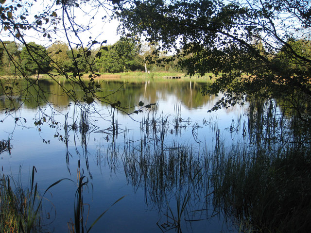
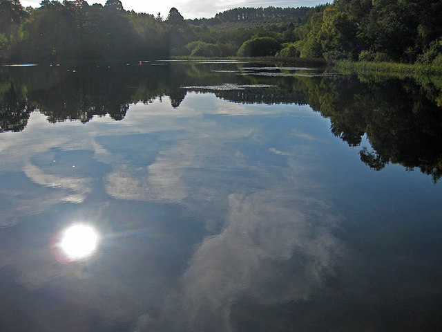
Whinny Cross Hill is an impressive natural landmark located in the county of Yorkshire, England. Standing at an elevation of approximately 350 meters (1,150 feet), it is classified as a hill rather than a mountain. The hill is situated in the Yorkshire Dales National Park, renowned for its striking landscapes and diverse flora and fauna.

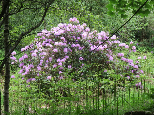
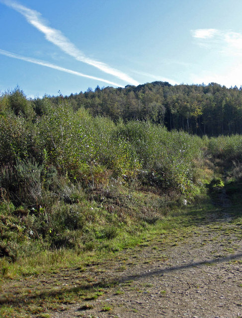
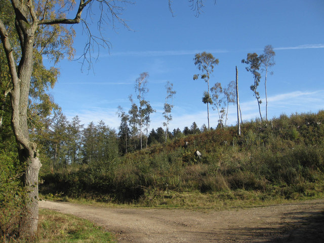
Characterized by its distinctive shape and geological features, Whinny Cross Hill consists mainly of limestone and shale formations. The hill's slopes are covered in a patchwork of heather moorland, interspersed with rocky outcrops and scattered trees. The vegetation provides a habitat for a range of wildlife, including various bird species, small mammals, and insects.

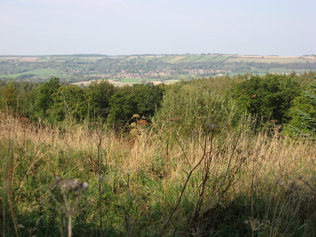
Whinny Cross Hill offers stunning panoramic views of the surrounding countryside, with vistas extending across the rolling hills and valleys of Yorkshire. On clear days, visitors can enjoy breathtaking sights of the distant peaks of the Pennines to the west and the North York Moors to the east.

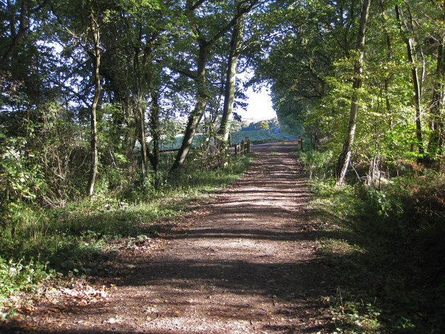
The hill is a popular destination for outdoor enthusiasts, attracting walkers, hikers, and nature lovers. Several footpaths and trails traverse the area, providing opportunities for exploring the hill's diverse landscapes and observing its unique flora and fauna. Additionally, the hill's geological formations and archaeological sites offer an opportunity for educational visits and research.

Whinny Cross Hill, with its scenic beauty and natural diversity, is a must-visit location for those seeking to immerse themselves in the captivating landscapes of Yorkshire.

If you have any feedback on the listing, please let us know in the comments section below.

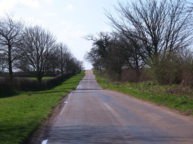
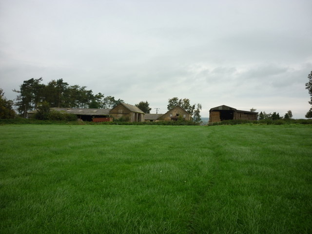
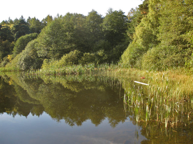
Whinny Cross Hill Images

Images are sourced within 2km of 54.164665/-1.0951176 or Grid Reference SE5974. Thanks to Geograph Open Source API. All images are credited.

Old milepost Another one of the Mattison's of Bedale Highways District posts with the wrong hands.   It was cast in the late 19thC.     The current Ryedale Urban District Council are good at looking after and even replacing lost mileposts.  In January 2007 this one was found horizontal and out of the ground.   It was reset in February 2007 but is now ready for a repaint.
Old milepost
Another one of the Mattison's of Bedale Highways District posts with the wrong hands. It was cast in the late 19thC. The current Ryedale Urban District Council are good at looking after and even replacing lost mileposts. In January 2007 this one was found horizontal and out of the ground. It was reset in February 2007 but is now ready for a repaint.
Old milepost This is what the post looked like after it had been toppled over in 2007.   That's a huge chunk of concrete that it is fastened to.
Old milepost
This is what the post looked like after it had been toppled over in 2007. That's a huge chunk of concrete that it is fastened to.
Old milepost A view southwards showing the very narrow verge where this milepost is set.   The hedge has been kept cut back so the post is always visible.
Old milepost
A view southwards showing the very narrow verge where this milepost is set. The hedge has been kept cut back so the post is always visible.
Rhododendron bush A Rhododendron bush in Yearsley Woods.
Rhododendron bush
A Rhododendron bush in Yearsley Woods.
The road to Brandsby Minor road from Yearsley to Brandsby near Intake Lodge.
The road to Brandsby
Minor road from Yearsley to Brandsby near Intake Lodge.
Walking towards High Lions Lodge
Looking North from Yearsley Forest Looking North from the deserted farmhouse in Yearsley Forest, Ampleforth in the distance.
Looking North from Yearsley Forest
Looking North from the deserted farmhouse in Yearsley Forest, Ampleforth in the distance.
Track near the lower fish pond Heading towards Park House.
Track near the lower fish pond
Heading towards Park House.
Mixed woodland Park Wood.
Mixed woodland
Park Wood.
Cleared woodland A few spindly specimens remain in the cleared area east of the lower fish pond.
Cleared woodland
A few spindly specimens remain in the cleared area east of the lower fish pond.
Lower Fish Pond A tranquil pond on the Ampleforth Abbey Estate which covers over 2000 acres. The Estate is carefully managed and encompasses grassland, farmland and woodland and is located in an AONB.
Lower Fish Pond
A tranquil pond on the Ampleforth Abbey Estate which covers over 2000 acres. The Estate is carefully managed and encompasses grassland, farmland and woodland and is located in an AONB.
Lower Fish Pond A tranquil pond on the Ampleforth Abbey Estate which covers over 2000 acres. The Estate is carefully managed and encompasses grassland, farmland and woodland and is located in an AONB. The Higher Fish Ponds lie to the Southeast in Park Wood.
Lower Fish Pond
A tranquil pond on the Ampleforth Abbey Estate which covers over 2000 acres. The Estate is carefully managed and encompasses grassland, farmland and woodland and is located in an AONB. The Higher Fish Ponds lie to the Southeast in Park Wood.
Reedbed in the Lower Fish Pond A tranquil pond on the Ampleforth Abbey Estate which covers over 2000 acres. The Estate is carefully managed and encompasses grassland, farmland and woodland and is located in an AONB.
Reedbed in the Lower Fish Pond
A tranquil pond on the Ampleforth Abbey Estate which covers over 2000 acres. The Estate is carefully managed and encompasses grassland, farmland and woodland and is located in an AONB.
Road to Redcar House This is nearing the end of the metalled road as it passes to the north of the Lower Fish Pond.
Road to Redcar House
This is nearing the end of the metalled road as it passes to the north of the Lower Fish Pond.
Clearing, Elder Slack
Old Farmstead, Gilling Wood
Forestry  track  to  Pond  Head  Wood
Forestry track to Pond Head Wood
Show me another place!

Whinny Cross Hill is located at Grid Ref: SE5974 (Lat: 54.164665, Lng: -1.0951176)

Division: North Riding

Administrative County: North Yorkshire

District: Hambleton

Police Authority: North Yorkshire

What 3 Words

///brochure.purely.grub. Near Easingwold, North Yorkshire

Related Wikis

Yearsley

Yearsley is a small village and civil parish in the district of Hambleton in North Yorkshire, England. The population of the civil parish was less than...

Ampleforth railway station

Ampleforth railway station, served the village of Ampleforth, in the Northern English county of North Yorkshire. It was located on a line which ran from...

Gilling Castle

Gilling Castle is a Grade I listed country house near Gilling East, North Yorkshire, England (grid reference SE611768). == History == The castle was originally...

St Martin's Ampleforth

St Martin's Ampleforth (SMA) was a private school and the preparatory school for Ampleforth College, which closed in July 2020. Until 2018 it was at Gilling...

Nearby Amenities

Located within 500m of 54.164665,-1.0951176
Shelter
Lat/Long: 54.1635428/-1.1016987
Bench
Lat/Long: 54.1634077/-1.1017631
Note: Not really a place
Source: survey
Lat/Long: 54.1638831/-1.1003213
Information: guidepost
Tourism: information
Lat/Long: 54.1631981/-1.1012063
Bench
Backrest: no
Lat/Long: 54.1633817/-1.0965383
Parking
Parking: street_side
Lat/Long: 54.1633992/-1.0966067
Man Made: tower
Tower Type: communication
Lat/Long: 54.1647402/-1.0947291
Information: guidepost
Ref: 35
Tourism: information
Lat/Long: 54.1666077/-1.0920618
Information: guidepost
Ref: 34
Tourism: information
Lat/Long: 54.1666944/-1.0939336
Information: guidepost
Ref: 32
Tourism: information
Lat/Long: 54.1670924/-1.1010644
The data included in this document is from www.openstreetmap.org. The data is made available under ODbL.

Have you been to Whinny Cross Hill?

Leave your review of Whinny Cross Hill below (or comments, questions and feedback).