Shoulder of Mutton Hill

Hill, Mountain in Leicestershire

England

Shoulder of Mutton Hill

Westcotes Library The "Westcotes Free Library", as inscribed above the door, opened in 1889.
Westcotes Library Credit: Ian Calderwood

Shoulder of Mutton Hill is a prominent geographical feature located in the county of Leicestershire, England. Situated near the village of Quorn, this hill is a notable landmark within the area and is popular among locals and visitors alike.

Rising to an elevation of approximately 204 meters (669 feet), Shoulder of Mutton Hill is classified as a hill rather than a mountain due to its relatively modest height. However, its distinctive shape and picturesque surroundings make it an attractive destination for outdoor enthusiasts and nature lovers.

The hill is characterized by its rounded summit, resembling the shape of a shoulder of mutton, which gives it its unique name. It offers panoramic views of the surrounding countryside, with lush green fields, rolling hills, and quaint villages visible from its peak. On a clear day, visitors can even catch a glimpse of the Charnwood Forest and the distant cityscape of Leicester.

Shoulder of Mutton Hill is a popular spot for hikers and walkers, with well-defined trails leading to the summit. These trails are accessible and suitable for people of all fitness levels, making it an enjoyable excursion for families and individuals alike. Additionally, the hill is home to a diverse range of flora and fauna, including wildflowers, butterflies, and various bird species, creating a haven for nature enthusiasts.

Overall, Shoulder of Mutton Hill in Leicestershire offers a peaceful and scenic escape from the hustle and bustle of everyday life, providing visitors with an opportunity to immerse themselves in the natural beauty of the English countryside.

If you have any feedback on the listing, please let us know in the comments section below.

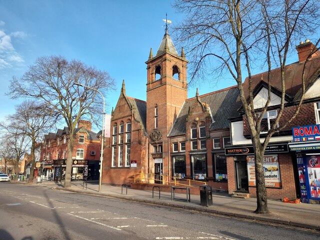
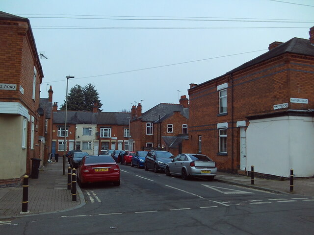
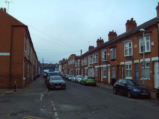
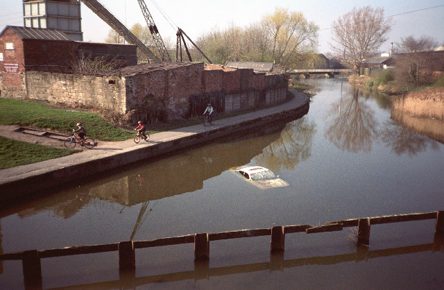
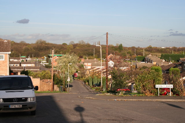
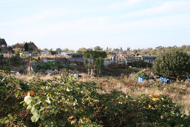
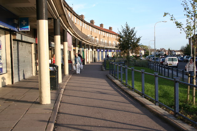
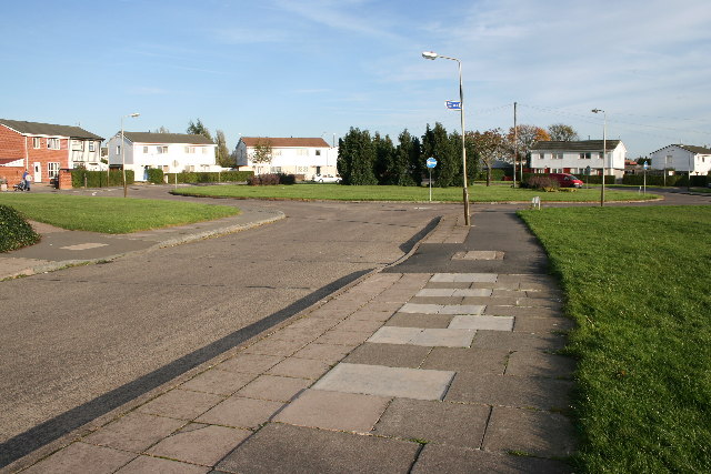
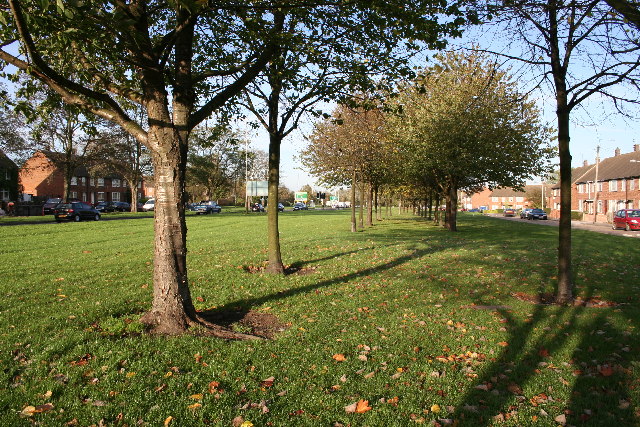
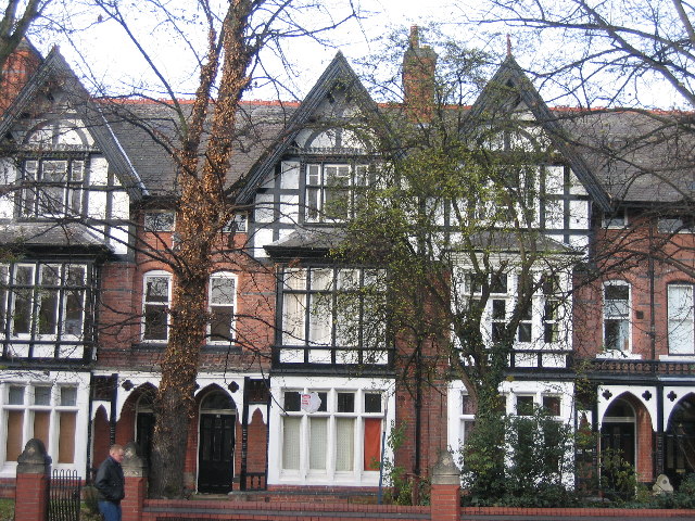
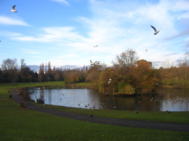
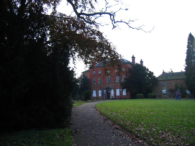
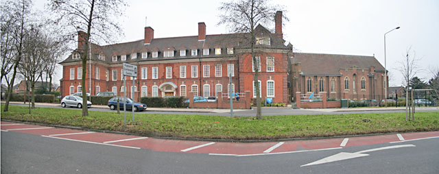
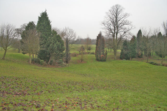
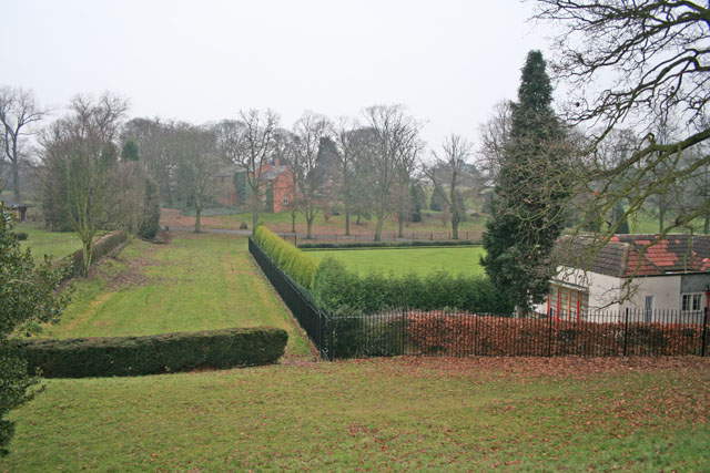
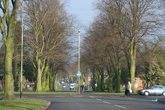
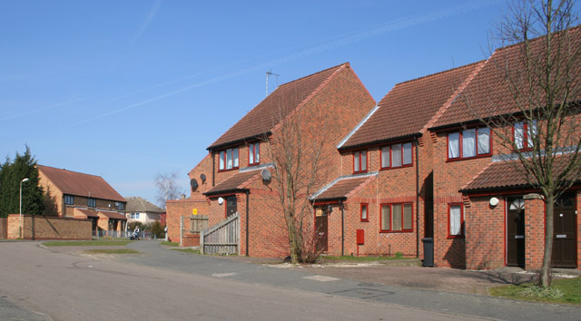
Shoulder of Mutton Hill Images

Images are sourced within 2km of 52.633159/-1.1754789 or Grid Reference SK5504. Thanks to Geograph Open Source API. All images are credited.

Westcotes Library The "Westcotes Free Library", as inscribed above the door, opened in 1889.
Westcotes Library
The "Westcotes Free Library", as inscribed above the door, opened in 1889.
North end of Compton Road, Leicester Seen from its junction with Danvers Road.
North end of Compton Road, Leicester
Seen from its junction with Danvers Road.
Raymond Road, Leicester Looking towards Narborough Road from its junction with Compton Road.
Raymond Road, Leicester
Looking towards Narborough Road from its junction with Compton Road.
Grand Union Canal Leicester View from a road bridge looking towards the point where a branch line from the Midland Railway's Swannington route crossed the canal on a wooden lifting bridge.The stone wall encloses a stonemason's yard.
Grand Union Canal Leicester
View from a road bridge looking towards the point where a branch line from the Midland Railway's Swannington route crossed the canal on a wooden lifting bridge.The stone wall encloses a stonemason's yard.
Darlington Road, Leicester Looking NNE from the junction with Blackett Avenue. The buildings on the right hand horizon are Gorse Hill City Farm <a href="https://www.geograph.org.uk/photo/73260">SK5606 : Gorse Hill City Farm, Anstey Road, Leicester</a>
Darlington Road, Leicester
Looking NNE from the junction with Blackett Avenue. The buildings on the right hand horizon are Gorse Hill City Farm SK5606 : Gorse Hill City Farm, Anstey Road, Leicester
Allotments, near Darlington Road, Leicester
Aikman Avenue, New Parks, Leicester Colonnade of shops at the west end of Aikman Avenue
Aikman Avenue, New Parks, Leicester
Colonnade of shops at the west end of Aikman Avenue
New Parks, Leicester. New Parks covers two whole squares. This large spread out housing estate is typical 60s design – little semi-detached boxes on wide featureless streets
New Parks, Leicester.
New Parks covers two whole squares. This large spread out housing estate is typical 60s design – little semi-detached boxes on wide featureless streets
A563 outer ring road, Leicester New Parks Way is the main road in the centre of the wide tree lined New Parks Boulevard
A563 outer ring road, Leicester
New Parks Way is the main road in the centre of the wide tree lined New Parks Boulevard
Housing on Narborough Road Taken morning 25 November 2005 looking west across Narborough Road South near Walton Road.
Housing on Narborough Road
Taken morning 25 November 2005 looking west across Narborough Road South near Walton Road.
Braunstone Park, southeast side Taken from walking path just off Braunstone Avenue.
Braunstone Park, southeast side
Taken from walking path just off Braunstone Avenue.
Abandoned building, Braunstone Park I think this was an old school. There are offices/groundskeeping facilities behind it still in use.
Abandoned building, Braunstone Park
I think this was an old school. There are offices/groundskeeping facilities behind it still in use.
Westcotes Park, Leicester Looking NE across this small park on Braunstone Avenue. Three sides are bounded by housing, (the houses in the photograph are on Winchester Avenue). On the fourth side, behind the view point, are Imperial Avenue and an infant and junior school.
Westcotes Park, Leicester
Looking NE across this small park on Braunstone Avenue. Three sides are bounded by housing, (the houses in the photograph are on Winchester Avenue). On the fourth side, behind the view point, are Imperial Avenue and an infant and junior school.
Highpoint Conference Centre, Glenfield Road, Leicester This building was originally St Catherine's convent and chapel. It was bought by Leicester Housing association in 1997 but was subsequently converted into a conference centre which opened in 2002.
Highpoint Conference Centre, Glenfield Road, Leicester
This building was originally St Catherine's convent and chapel. It was bought by Leicester Housing association in 1997 but was subsequently converted into a conference centre which opened in 2002.
Western Park, Leicester Looking north from the tennis courts. This is the largest park in Leicester being 178 acres. See <span class="nowrap"><a title="http://www.leicester.gov.uk/index.asp?pgid=1812" rel="nofollow ugc noopener" href="http://www.leicester.gov.uk/index.asp?pgid=1812">Link</a><img style="margin-left:2px;" alt="External link" title="External link - shift click to open in new window" src="https://s1.geograph.org.uk/img/external.png" width="10" height="10"/></span> for information.
Western Park, Leicester
Looking north from the tennis courts. This is the largest park in Leicester being 178 acres. See LinkExternal link for information.
Western Park, Leicester Looking east towards the old pavilion and the Western Park Schools. The bright green area in the centre is one of the bowling greens. The avenue of trees running from left to right, along the main drive, was planted for the inaugural opening of the park in 1899.
Western Park, Leicester
Looking east towards the old pavilion and the Western Park Schools. The bright green area in the centre is one of the bowling greens. The avenue of trees running from left to right, along the main drive, was planted for the inaugural opening of the park in 1899.
Hallam Crescent East, Braunstone, Leicester A wide tree lined street in the centre of a radiating 1920's street pattern. As part of a post 1st World War slum clearance programme there was a deliberate policy to give the houses front gardens and set them back from the road ensuring that, unlike the inner-city terraces, there was plenty of light and space. See <span class="nowrap"><a title="http://www.le.ac.uk/emoha/community/resources/braunstone/sbraunstone.html" rel="nofollow ugc noopener" href="http://www.le.ac.uk/emoha/community/resources/braunstone/sbraunstone.html">Link</a><img style="margin-left:2px;" alt="External link" title="External link - shift click to open in new window" src="https://s1.geograph.org.uk/img/external.png" width="10" height="10"/></span>
Hallam Crescent East, Braunstone, Leicester
A wide tree lined street in the centre of a radiating 1920's street pattern. As part of a post 1st World War slum clearance programme there was a deliberate policy to give the houses front gardens and set them back from the road ensuring that, unlike the inner-city terraces, there was plenty of light and space. See LinkExternal link
Braunstone Frith, Leicester Mid 1990s housing on Carnoustie Road
Braunstone Frith, Leicester
Mid 1990s housing on Carnoustie Road
Show me another place!

Shoulder of Mutton Hill is located at Grid Ref: SK5504 (Lat: 52.633159, Lng: -1.1754789)

Unitary Authority: Leicester

Police Authority: Leicestershire

What 3 Words

///chops.force.transfers. Near Glenfield, Leicestershire

Related Wikis

Western Park, Leicester

Western Park is a park and surrounding suburb located in West End of Leicester. It is also a ward of the City of Leicester whose population at the 2011...

Western Park Open Air School

The Western Park Open Air School, situated in Western Park, was the first open air school in Leicester, for children with respiratory problems. It opened...

Dane Hills

Dane Hills is a large area on the western side of the English city of Leicester. It consists of the smaller areas of Newfoundpool, Western Park, and New...
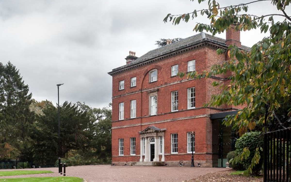
Winstanley House

Winstanley House in Leicestershire previously called Braunstone Hall, is a building of historical significance and is Grade II listed on the English Heritage...

Emmanuel Christian School, Leicester

Emmanuel Christian School, Leicester is a small, independent, co-educational Christian school for pupils aged 4–16. Opening in August 2003, it was the...

New College Leicester

New College Leicester (formed in 1999/2000 in a merger between New Parks Community College, Alderman Newton's School, and Wycliffe Community College) is...

2018 Leicester explosion

The 2018 Leicester explosion occurred shortly after 19:00 GMT on 25 February 2018, on the A47 Hinckley Road in Leicester. It destroyed the Żabka convenience...

Castle Mead Radio

Castle Mead Radio is a hospital radio station broadcasting to Hinckley and Sunnyside Hospitals in Hinckley, Leicestershire, England. It provides music...

Nearby Amenities

Located within 500m of 52.633159,-1.1754789
Traffic Signals
Lat/Long: 52.6313024/-1.1811056
Bus Stop
Braunstone Leisure Centre
Bus: yes
Naptan AtcoCode: 269045007
Naptan NaptanCode: lecdjgtw
Public Transport: platform
Route Ref: 18,13a,48,153,158,X1
Shelter: yes
Lat/Long: 52.6319601/-1.1780252
Crossing
Crossing: traffic_signals
Crossing Ref: pelican
Lat/Long: 52.6332741/-1.1718787
Bus Stop
Bus: yes
Naptan AtcoCode: 269056004
Naptan NaptanCode: lecdjdwa
Public Transport: platform
Route Ref: 18,13a,48,153,158
Lat/Long: 52.633384/-1.170914
Bus Stop
Hamelin Road
Bus: yes
Naptan AtcoCode: 269045016
Naptan NaptanCode: lecdjmag
Operator: First
Public Transport: platform
Route Ref: 16
Lat/Long: 52.6295603/-1.1745532
Route Ref: 302
Lat/Long: 52.6301906/-1.177892
Route Ref: 317
Lat/Long: 52.6315399/-1.1761754
Barrier: bollard
Bicycle: yes
Foot: yes
Lat/Long: 52.6329807/-1.1821381
Barrier: bollard
Bicycle: yes
Foot: yes
Lat/Long: 52.6328761/-1.1795018
Barrier: cycle_barrier
Lat/Long: 52.6325865/-1.179174
Barrier: bollard
Bicycle: yes
Foot: yes
Lat/Long: 52.6322351/-1.1787814
Barrier: bollard
Bicycle: yes
Foot: yes
Lat/Long: 52.6350274/-1.1730072
Barrier: bollard
Bicycle: yes
Foot: yes
Lat/Long: 52.6341221/-1.1719489
Post Box
Ref: LE3 330
Lat/Long: 52.6351391/-1.1695501
Barrier: bollard
Foot: yes
Lat/Long: 52.6344772/-1.1813378
Barrier: bollard
Bicycle: yes
Foot: yes
Lat/Long: 52.6335886/-1.1725345
Turning Circle
Lat/Long: 52.6321514/-1.1709467
Post Box
Ref: LE3 807
Lat/Long: 52.6329194/-1.1702241
Barrier: cycle_barrier
Lat/Long: 52.6306505/-1.1702143
Post Box
Ref: LE3 34
Lat/Long: 52.6305648/-1.1731351
Barrier: bollard
Bicycle: yes
Foot: yes
Lat/Long: 52.6309822/-1.1788207
Barrier: bollard
Bicycle: yes
Foot: yes
Lat/Long: 52.6316324/-1.1784133
Crossing
Crossing: uncontrolled
Lat/Long: 52.6314278/-1.1794464
Crossing
Lat/Long: 52.6312783/-1.1802132
Crossing: traffic_signals
Crossing Ref: toucan
Lat/Long: 52.6317706/-1.1783299
Traffic Calming: cushion
Lat/Long: 52.6292078/-1.1741739
Traffic Calming: table
Lat/Long: 52.630041/-1.1748425
Traffic Calming: table
Lat/Long: 52.6308027/-1.1752407
Mini Roundabout
Direction: clockwise
Lat/Long: 52.6309183/-1.179027
Traffic Calming: cushion
Lat/Long: 52.6312693/-1.1756705
Turning Circle
Lat/Long: 52.629329/-1.1766549
Traffic Calming: cushion
Lat/Long: 52.6318718/-1.1767337
Car Wash
ABC
Lat/Long: 52.6315472/-1.1816828
Neal's Warehouse
Fixme: Former business at this site?
Shop: doityourself
Lat/Long: 52.6317067/-1.1805455
Bus Stop
Braunstone Leisure Centre
Bus: yes
Naptan AtcoCode: 269045000
Naptan NaptanCode: lecdapgj
Public Transport: platform
Shelter: yes
Lat/Long: 52.6316266/-1.1785821
Bus Stop
Hamelin Road
Bus: yes
Naptan AtcoCode: 269045009
Naptan NaptanCode: lecdjgwd
Operator: First
Public Transport: platform
Route Ref: 16
Lat/Long: 52.6299149/-1.1746685
Description: Seats
Lat/Long: 52.6309421/-1.1700842
Bench
Backrest: yes
Lat/Long: 52.6333788/-1.1720318
Bench
Backrest: yes
Lat/Long: 52.6333788/-1.1717742
Waste Basket
Lat/Long: 52.6328394/-1.1683966
Bus Stop
Sunnycroft Road
Bench: no
Bus: yes
Naptan AtcoCode: 269056002
Naptan NaptanCode: lecdjdtp
Public Transport: platform
Shelter: no
Lat/Long: 52.6328516/-1.1684611
Street Lamp
Lamp Type: electric
Ref: 82;S208
Lat/Long: 52.6325228/-1.1760276
Street Lamp
Lamp Type: electric
Lat/Long: 52.6316125/-1.178744
Street Lamp
Lamp Type: electric
Ref: 65
Lat/Long: 52.6330362/-1.1693733
Street Lamp
Lamp Type: electric
Ref: 72
Lat/Long: 52.633245/-1.1749581
Kerb: lowered
Tactile Paving: no
Lat/Long: 52.6321696/-1.1768355
Street Lamp
Lamp Type: electric
Ref: 88
Lat/Long: 52.6315359/-1.1790905
Kerb: lowered
Tactile Paving: no
Lat/Long: 52.632106/-1.1770657
Barrier: kerb
Kerb: flush
Tactile Paving: yes
Lat/Long: 52.6314434/-1.1793685
Street Lamp
Lamp Type: electric
Ref: 74
Lat/Long: 52.6332036/-1.1724973
Street Lamp
Lamp Type: electric
Ref: 84
Lat/Long: 52.6320907/-1.1771071
Street Lamp
Lamp Type: electric
Ref: 68
Lat/Long: 52.6331562/-1.1702125
Kerb: lowered
Tactile Paving: no
Lat/Long: 52.6320326/-1.177271
Street Lamp
Lamp Type: electric
Ref: 90
Lat/Long: 52.6313528/-1.1798942
Kerb: lowered
Tactile Paving: no
Lat/Long: 52.6318844/-1.1776723
Street Lamp
Lamp Type: electric
Ref: 76
Lat/Long: 52.6331527/-1.1732352
Street Lamp
Lamp Type: electric
Ref: 86
Lat/Long: 52.6317861/-1.1779901
Waste Basket
Lat/Long: 52.6310757/-1.1801849
Street Lamp
Lamp Type: electric
Ref: 87
Lat/Long: 52.6316918/-1.178363
Barrier: height_restrictor
Maxheight: 2.1
Lat/Long: 52.631062/-1.1801436
Street Lamp
Lamp Type: electric
Ref: 70
Lat/Long: 52.6332375/-1.1713046
Street Lamp
Lamp Type: electric
Ref: 80
Lat/Long: 52.6328035/-1.1752072
Waste Basket
Lat/Long: 52.6316475/-1.178466
Brand: National Grid
Brand Wikidata: Q1465461
Operator: National Grid Electricity Distribution Plc
Operator Old: Western Power Distribution
Operator Wikidata: Q7988183
Owner: National Grid Electricity Distribution (East Midlands) Plc
Owner Wikidata: Q114348127
Power: substation
Lat/Long: 52.6324835/-1.1759238
Bench
Backrest: yes
Lat/Long: 52.6316429/-1.1784945
Barrier: kerb
Kerb: flush
Tactile Paving: yes
Lat/Long: 52.6308985/-1.1788116
Crossing
Crossing: unmarked
Lat/Long: 52.6307153/-1.1792935
Barrier: kerb
Kerb: flush
Tactile Paving: yes
Lat/Long: 52.6306966/-1.1792321
Barrier: kerb
Kerb: flush
Tactile Paving: yes
Lat/Long: 52.6307292/-1.1793585
Barrier: bollard
Lat/Long: 52.6312637/-1.1803187
Barrier: kerb
Kerb: flush
Tactile Paving: yes
Lat/Long: 52.6310131/-1.1791777
Barrier: kerb
Kerb: flush
Tactile Paving: yes
Lat/Long: 52.6310416/-1.1790109
Barrier: kerb
Kerb: flush
Tactile Paving: yes
Lat/Long: 52.6313925/-1.1796313
Addr City: Leicester
Addr Housenumber: 57
Addr Postcode: LE3 1JN
Addr Street: Hamelin Road
Lat/Long: 52.6301669/-1.1736677
Addr City: Leicester
Addr Housenumber: 1
Addr Postcode: LE3 1JY
Addr Street: Haworth Place
Lat/Long: 52.6301588/-1.173647
Generator Method: photovoltaic
Generator Output Electricity: yes
Generator Source: solar
Generator Type: solar_photovoltaic_panel
Location: roof
Power: generator
Lat/Long: 52.6288384/-1.1747061
Generator Method: photovoltaic
Generator Output Electricity: yes
Generator Source: solar
Generator Type: solar_photovoltaic_panel
Location: roof
Power: generator
Lat/Long: 52.6287594/-1.1746257
Generator Method: photovoltaic
Generator Output Electricity: yes
Generator Source: solar
Generator Type: solar_photovoltaic_panel
Location: roof
Power: generator
Lat/Long: 52.6288888/-1.1747625
Generator Method: photovoltaic
Generator Output Electricity: yes
Generator Source: solar
Generator Type: solar_photovoltaic_panel
Location: roof
Power: generator
Lat/Long: 52.628875/-1.1741858
Generator Method: photovoltaic
Generator Output Electricity: yes
Generator Source: solar
Generator Type: solar_photovoltaic_panel
Location: roof
Power: generator
Lat/Long: 52.6288245/-1.1759104
Generator Method: photovoltaic
Generator Output Electricity: yes
Generator Source: solar
Generator Type: solar_photovoltaic_panel
Location: roof
Power: generator
Lat/Long: 52.6290508/-1.1781166
Generator Method: photovoltaic
Generator Output Electricity: yes
Generator Source: solar
Generator Type: solar_photovoltaic_panel
Location: roof
Power: generator
Lat/Long: 52.6299715/-1.1780964
Generator Method: photovoltaic
Generator Output Electricity: yes
Generator Source: solar
Generator Type: solar_photovoltaic_panel
Location: roof
Power: generator
Lat/Long: 52.6300504/-1.1792726
Generator Method: photovoltaic
Generator Output Electricity: yes
Generator Source: solar
Generator Type: solar_photovoltaic_panel
Location: roof
Power: generator
Lat/Long: 52.6298567/-1.1773454
Generator Method: photovoltaic
Generator Output Electricity: yes
Generator Source: solar
Generator Type: solar_photovoltaic_panel
Location: roof
Power: generator
Lat/Long: 52.6297818/-1.1764348
Generator Method: photovoltaic
Generator Output Electricity: yes
Generator Source: solar
Generator Type: solar_photovoltaic_panel
Location: roof
Power: generator
Lat/Long: 52.6294521/-1.1764643
Generator Method: photovoltaic
Generator Output Electricity: yes
Generator Source: solar
Generator Type: solar_photovoltaic_panel
Location: roof
Power: generator
Lat/Long: 52.6291306/-1.1767741
Generator Method: photovoltaic
Generator Output Electricity: yes
Generator Source: solar
Generator Type: solar_photovoltaic_panel
Location: roof
Power: generator
Lat/Long: 52.6291648/-1.1745492
Generator Method: photovoltaic
Generator Output Electricity: yes
Generator Source: solar
Generator Type: solar_photovoltaic_panel
Location: roof
Power: generator
Lat/Long: 52.6292063/-1.1745734
Generator Method: photovoltaic
Generator Output Electricity: yes
Generator Source: solar
Generator Type: solar_photovoltaic_panel
Location: roof
Power: generator
Lat/Long: 52.6292625/-1.1745921
Generator Method: photovoltaic
Generator Output Electricity: yes
Generator Source: solar
Generator Type: solar_photovoltaic_panel
Location: roof
Power: generator
Lat/Long: 52.6292722/-1.1746498
Generator Method: photovoltaic
Generator Output Electricity: yes
Generator Source: solar
Generator Type: solar_photovoltaic_panel
Location: roof
Power: generator
Lat/Long: 52.6293089/-1.1746833
Generator Method: photovoltaic
Generator Output Electricity: yes
Generator Source: solar
Generator Type: solar_photovoltaic_panel
Location: roof
Power: generator
Lat/Long: 52.6294619/-1.1747853
Generator Method: photovoltaic
Generator Output Electricity: yes
Generator Source: solar
Generator Type: solar_photovoltaic_panel
Location: roof
Power: generator
Lat/Long: 52.6294204/-1.1740436
Generator Method: photovoltaic
Generator Output Electricity: yes
Generator Source: solar
Generator Type: solar_photovoltaic_panel
Location: roof
Power: generator
Lat/Long: 52.6298306/-1.1752654
Generator Method: photovoltaic
Generator Output Electricity: yes
Generator Source: solar
Generator Type: solar_photovoltaic_panel
Location: roof
Power: generator
Lat/Long: 52.6304112/-1.1739949
Generator Method: photovoltaic
Generator Output Electricity: yes
Generator Source: solar
Generator Type: solar_photovoltaic_panel
Location: roof
Power: generator
Lat/Long: 52.630516/-1.1740007
Generator Method: photovoltaic
Generator Output Electricity: yes
Generator Source: solar
Generator Type: solar_photovoltaic_panel
Location: roof
Power: generator
Lat/Long: 52.630564/-1.1740114
Generator Method: photovoltaic
Generator Output Electricity: yes
Generator Source: solar
Generator Type: solar_photovoltaic_panel
Location: roof
Power: generator
Lat/Long: 52.6306446/-1.1740436
Generator Method: photovoltaic
Generator Output Electricity: yes
Generator Source: solar
Generator Type: solar_photovoltaic_panel
Location: roof
Power: generator
Lat/Long: 52.6312177/-1.1752909
Generator Method: photovoltaic
Generator Output Electricity: yes
Generator Source: solar
Generator Type: solar_photovoltaic_panel
Location: roof
Power: generator
Lat/Long: 52.6312559/-1.1753418
Generator Method: photovoltaic
Generator Output Electricity: yes
Generator Source: solar
Generator Type: solar_photovoltaic_panel
Location: roof
Power: generator
Lat/Long: 52.6316491/-1.1771496
Generator Method: photovoltaic
Generator Output Electricity: yes
Generator Source: solar
Generator Type: solar_photovoltaic_panel
Location: roof
Power: generator
Lat/Long: 52.6315107/-1.1779717
Generator Method: photovoltaic
Generator Output Electricity: yes
Generator Source: solar
Generator Type: solar_photovoltaic_panel
Location: roof
Power: generator
Lat/Long: 52.6315254/-1.1773454
Generator Method: photovoltaic
Generator Output Electricity: yes
Generator Source: solar
Generator Type: solar_photovoltaic_panel
Location: roof
Power: generator
Lat/Long: 52.6349674/-1.1722814
Generator Method: photovoltaic
Generator Output Electricity: yes
Generator Source: solar
Generator Type: solar_photovoltaic_panel
Location: roof
Power: generator
Lat/Long: 52.6340477/-1.1714875
Generator Method: photovoltaic
Generator Output Electricity: yes
Generator Source: solar
Generator Type: solar_photovoltaic_panel
Location: roof
Power: generator
Lat/Long: 52.6330498/-1.1720159
Generator Method: photovoltaic
Generator Output Electricity: yes
Generator Source: solar
Generator Type: solar_photovoltaic_panel
Location: roof
Power: generator
Lat/Long: 52.630771/-1.1743115
Generator Method: photovoltaic
Generator Output Electricity: yes
Generator Source: solar
Generator Type: solar_photovoltaic_panel
Location: roof
Power: generator
Lat/Long: 52.6307789/-1.1742132
Generator Method: photovoltaic
Generator Output Electricity: yes
Generator Source: solar
Generator Type: solar_photovoltaic_panel
Location: roof
Power: generator
Lat/Long: 52.6306812/-1.174049
Generator Method: photovoltaic
Generator Output Electricity: yes
Generator Source: solar
Generator Type: solar_photovoltaic_panel
Location: roof
Power: generator
Lat/Long: 52.6308782/-1.1739712
Generator Method: photovoltaic
Generator Output Electricity: yes
Generator Source: solar
Generator Type: solar_photovoltaic_panel
Location: roof
Power: generator
Lat/Long: 52.6308261/-1.1739605
Generator Method: photovoltaic
Generator Output Electricity: yes
Generator Source: solar
Generator Type: solar_photovoltaic_panel
Location: roof
Power: generator
Lat/Long: 52.6302563/-1.1733731
Generator Method: photovoltaic
Generator Output Electricity: yes
Generator Source: solar
Generator Type: solar_photovoltaic_panel
Location: roof
Power: generator
Lat/Long: 52.6302937/-1.1732256
Generator Method: photovoltaic
Generator Output Electricity: yes
Generator Source: solar
Generator Type: solar_photovoltaic_panel
Location: roof
Power: generator
Lat/Long: 52.6301146/-1.1737861
Generator Method: photovoltaic
Generator Output Electricity: yes
Generator Source: solar
Generator Type: solar_photovoltaic_panel
Location: roof
Power: generator
Lat/Long: 52.6300625/-1.1739524
Generator Method: photovoltaic
Generator Output Electricity: yes
Generator Source: solar
Generator Type: solar_photovoltaic_panel
Location: roof
Power: generator
Lat/Long: 52.6300772/-1.1736413
Generator Method: photovoltaic
Generator Output Electricity: yes
Generator Source: solar
Generator Type: solar_photovoltaic_panel
Location: roof
Power: generator
Lat/Long: 52.6301/-1.1732926
Generator Method: photovoltaic
Generator Output Electricity: yes
Generator Source: solar
Generator Type: solar_photovoltaic_panel
Location: roof
Power: generator
Lat/Long: 52.6300642/-1.1732711
Generator Method: photovoltaic
Generator Output Electricity: yes
Generator Source: solar
Generator Type: solar_photovoltaic_panel
Location: roof
Power: generator
Lat/Long: 52.6299779/-1.1732095
Generator Method: photovoltaic
Generator Output Electricity: yes
Generator Source: solar
Generator Type: solar_photovoltaic_panel
Location: roof
Power: generator
Lat/Long: 52.6299339/-1.1731692
Generator Method: photovoltaic
Generator Output Electricity: yes
Generator Source: solar
Generator Type: solar_photovoltaic_panel
Location: roof
Power: generator
Lat/Long: 52.6296897/-1.1733436
Generator Method: photovoltaic
Generator Output Electricity: yes
Generator Source: solar
Generator Type: solar_photovoltaic_panel
Location: roof
Power: generator
Lat/Long: 52.6297272/-1.1734026
Generator Method: photovoltaic
Generator Output Electricity: yes
Generator Source: solar
Generator Type: solar_photovoltaic_panel
Location: roof
Power: generator
Lat/Long: 52.6298151/-1.1730297
Generator Method: photovoltaic
Generator Output Electricity: yes
Generator Source: solar
Generator Type: solar_photovoltaic_panel
Location: roof
Power: generator
Lat/Long: 52.6298721/-1.1735099
Generator Method: photovoltaic
Generator Output Electricity: yes
Generator Source: solar
Generator Type: solar_photovoltaic_panel
Location: roof
Power: generator
Lat/Long: 52.6299502/-1.1735984
Generator Method: photovoltaic
Generator Output Electricity: yes
Generator Source: solar
Generator Type: solar_photovoltaic_panel
Location: roof
Power: generator
Lat/Long: 52.6298265/-1.1734884
Generator Method: photovoltaic
Generator Output Electricity: yes
Generator Source: solar
Generator Type: solar_photovoltaic_panel
Location: roof
Power: generator
Lat/Long: 52.6291899/-1.1723431
Barrier: lift_gate
Lat/Long: 52.632007/-1.1800009
Traffic Signals
Traffic Signals: signal
Traffic Signals Direction: forward
Lat/Long: 52.6314006/-1.1807621
Crossing
Crossing: marked
Lat/Long: 52.6314029/-1.1807174
Traffic Signals
Traffic Signals: signal
Traffic Signals Direction: forward
Lat/Long: 52.6313165/-1.1808425
Entrance: main
Lat/Long: 52.6320723/-1.1787668
Barrier: bollard
Bicycle: yes
Foot: yes
Lat/Long: 52.6318805/-1.1782687
Communication Mobile Phone: yes
Man Made: mast
Tower Type: communication
Lat/Long: 52.6324837/-1.1788065
Entrance: secondary
Lat/Long: 52.6311727/-1.173614
Entrance: main
Lat/Long: 52.6312616/-1.1729865
Door: yes
Indoor: door
Lat/Long: 52.6312752/-1.1730673
Door: yes
Indoor: door
Lat/Long: 52.6312879/-1.173067
Door: yes
Indoor: door
Lat/Long: 52.6312427/-1.1730154
Door: yes
Indoor: door
Lat/Long: 52.6312065/-1.1731002
Door: yes
Indoor: door
Lat/Long: 52.6312872/-1.1729859
Door: yes
Indoor: door
Lat/Long: 52.631294/-1.1730466
Door: yes
Indoor: door
Lat/Long: 52.6313252/-1.1730852
Entrance: secondary
Lat/Long: 52.6312261/-1.1731901
Entrance: emergency
Lat/Long: 52.6313249/-1.1730457
Bus Stop
Bus: yes
Naptan AtcoCode: 269045020
Naptan NaptanCode: lecdgtgd
Public Transport: platform
Lat/Long: 52.6319125/-1.1723668
Bus Stop
Bus: yes
Naptan AtcoCode: 269045019
Naptan NaptanCode: lecdgtga
Public Transport: platform
Shelter: yes
Lat/Long: 52.6310285/-1.172077
Bench
Backrest: yes
Colour: #4c3938
Material: wood
Seats: 2
Lat/Long: 52.6310783/-1.1720819
Generator Method: photovoltaic
Generator Output Electricity: yes
Generator Source: solar
Generator Type: solar_photovoltaic_panel
Location: roof
Power: generator
Lat/Long: 52.6303879/-1.1739838
Bench
Backrest: yes
Material: wood
Lat/Long: 52.6357073/-1.1779452
Bench
Backrest: yes
Material: wood
Lat/Long: 52.6354094/-1.177119
Waste Basket
Lat/Long: 52.6354111/-1.1770815
Bench
Backrest: no
Material: metal
Lat/Long: 52.6330719/-1.177752
The data included in this document is from www.openstreetmap.org. The data is made available under ODbL.

Have you been to Shoulder of Mutton Hill?

Leave your review of Shoulder of Mutton Hill below (or comments, questions and feedback).