Hotchley Hill

Hill, Mountain in Nottinghamshire Rushcliffe

England

Hotchley Hill

A lovely tree on land belonging to Welldale Farm I'm not sure but I believe that it is a sycamore.
A lovely tree on land belonging to Welldale Farm Credit: Neil Theasby

Hotchley Hill, located in Nottinghamshire, England, is a prominent hill that forms part of the landscape in this picturesque county. Standing at an elevation of approximately 193 meters (633 feet), it is considered one of the highest points in the region and offers stunning panoramic views of the surrounding countryside.

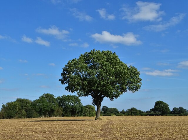
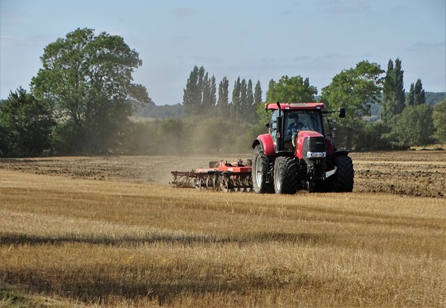
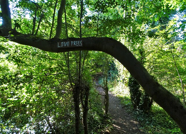
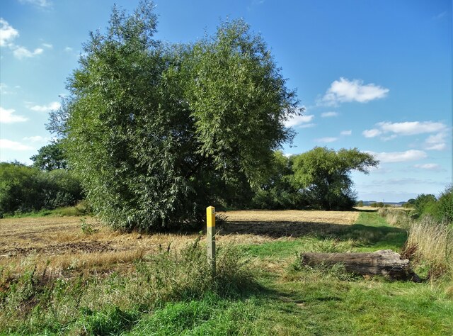
Covered in lush greenery and characterized by rolling slopes, Hotchley Hill is a popular destination for outdoor enthusiasts and nature lovers. Its slopes are adorned with a mixture of deciduous and coniferous trees, creating a vibrant and diverse ecosystem. The hill is also home to a variety of wildlife, including rabbits, squirrels, and various bird species.

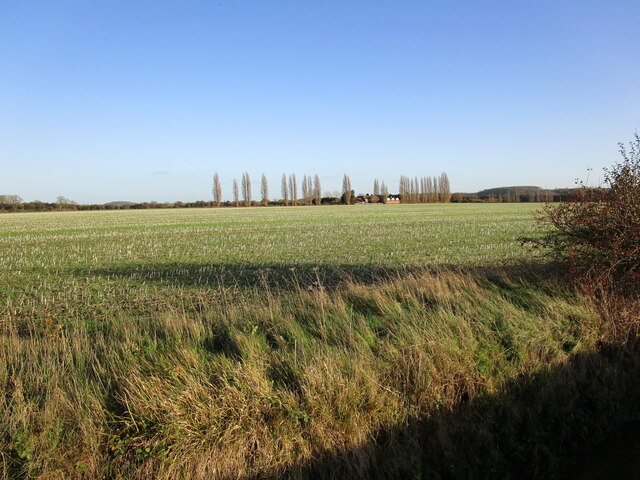
The summit of Hotchley Hill provides breathtaking vistas, allowing visitors to admire the sprawling fields, dense woodlands, and charming villages that dot the Nottinghamshire landscape. On clear days, it is even possible to catch a glimpse of the distant city of Nottingham.

The hill is easily accessible, with several footpaths and trails winding their way to the top. This makes it a favored location for hikers, walkers, and dog owners looking to enjoy the great outdoors. The serene and tranquil atmosphere of Hotchley Hill offers a welcome escape from the hustle and bustle of everyday life.

For those interested in local history, Hotchley Hill also holds significance as it was once the site of a medieval castle. Although no visible remains remain, the hill's historical past adds an intriguing element to its allure.

Overall, Hotchley Hill in Nottinghamshire is a natural gem, offering stunning views, diverse flora and fauna, and a peaceful ambiance for visitors to enjoy.

If you have any feedback on the listing, please let us know in the comments section below.

Hotchley Hill Images

Images are sourced within 2km of 52.850616/-1.1719598 or Grid Reference SK5528. Thanks to Geograph Open Source API. All images are credited.

A lovely tree on land belonging to Welldale Farm I'm not sure but I believe that it is a sycamore.
A lovely tree on land belonging to Welldale Farm
I'm not sure but I believe that it is a sycamore.
Life Can Be Harrowing On Welldale Farm near Gotham
Life Can Be Harrowing
On Welldale Farm near Gotham
Rotting hulk of a lorry on Welldale Farm I believe that the vehicle is a Leyland Hippo and also ex-Army. These lorries were plentiful in the nineteen fifties.
Rotting hulk of a lorry on Welldale Farm
I believe that the vehicle is a Leyland Hippo and also ex-Army. These lorries were plentiful in the nineteen fifties.
Farm access bridge on the Great Central Railway Near Welldale Farm
Farm access bridge on the Great Central Railway
Near Welldale Farm
"Love Trees" on The Logan Trail near Paradise The Logan Trail follows the course of a disused railway line once associated with gypsum mining near Gotham.
"Love Trees" on The Logan Trail near Paradise
The Logan Trail follows the course of a disused railway line once associated with gypsum mining near Gotham.
By Fairham Brook west of Bunny
Bus stop with shelter at East Leake village name signs
Benchmark on south parapet of Gotham Road railway bridge Ordnance Survey cut mark benchmark levelled at 57.043m above Newlyn Datum verified 1966
Benchmark on south parapet of Gotham Road railway bridge
Ordnance Survey cut mark benchmark levelled at 57.043m above Newlyn Datum verified 1966
Gotham Road railway bridge south of Rushcliffe Halt There is an Ordnance Survey benchmark <a href="https://www.geograph.org.uk/photo/7187626">SK5527 : Benchmark on south parapet of Gotham Road railway bridge</a> on the coping stone on the near bridge pier
Gotham Road railway bridge south of Rushcliffe Halt
There is an Ordnance Survey benchmark SK5527 : Benchmark on south parapet of Gotham Road railway bridge on the coping stone on the near bridge pier
Notts CC finger signpost at Gotham Road / Stocking Lane junction The signpost has Milestone Society National ID:  NT_SK5527A
Notts CC finger signpost at Gotham Road / Stocking Lane junction
The signpost has Milestone Society National ID: NT_SK5527A
Notts CC finger signpost at Leake Road / Bunny Lane junction The signpost has Milestone Society National ID:   NT_SK5527
Notts CC finger signpost at Leake Road / Bunny Lane junction
The signpost has Milestone Society National ID: NT_SK5527
Leake Road at Bunny Lane junction There is a closeup of the Notts CC finger signpost at <a href="https://www.geograph.org.uk/photo/7187748">SK5527 : Notts CC finger signpost at Leake Road / Bunny Lane junction</a>.
Ordnance Survey documents indicate that a benchmark levelled at 46.750m above Newlyn Datum was verified in 1966 on a seat base on the far side of the signpost
Leake Road at Bunny Lane junction
There is a closeup of the Notts CC finger signpost at SK5527 : Notts CC finger signpost at Leake Road / Bunny Lane junction. Ordnance Survey documents indicate that a benchmark levelled at 46.750m above Newlyn Datum was verified in 1966 on a seat base on the far side of the signpost
Rushcliffe Golf Club greens
Entrance to Rushcliffe Golf Club from Stocking Lane
Gateway to grounds of Rushcliffe Lodge Nursing Home from Stocking Lane
Rushcliffe Halt station viewed from Gotham Road bridge
Stubble field and Gotham Moor Farm
Show me another place!

Hotchley Hill is located at Grid Ref: SK5528 (Lat: 52.850616, Lng: -1.1719598)

Administrative County: Nottinghamshire

District: Rushcliffe

Police Authority: Nottinghamshire

What 3 Words

///obviously.composts.tradition. Near East Leake, Nottinghamshire

Nearby Locations

Hotchley Hill

Related Wikis

Rushcliffe Halt railway station

Rushcliffe Halt is a railway station on the former Great Central Railway London Extension from London Marylebone serving the north of East Leake, Nottinghamshire...

Gotham Sidings

Gotham Sidings , was a set of railway sidings on the Great Central Main Line, where the line crosses Gotham Moor near Gotham, Nottinghamshire. The sidings...

East Leake Academy

East Leake Academy is an academy located in East Leake in the Rushcliffe area of Nottinghamshire, England. The school describes itself as specialising...

East Leake

East Leake () is a large village and civil parish in the Rushcliffe district of Nottinghamshire, England, although its closest town and postal address...

St Mary's Church, East Leake

St Mary's Church is a parish church in the Church of England in East Leake, Nottinghamshire. The church is Grade I listed by the Department for Digital...

East Leake railway station

East Leake railway station is a former railway station serving East Leake, Nottinghamshire and is the only surviving Great Central Railway station accessed...

St Giles' Church, Costock

St. Giles' Church, Costock is a parish church in the Church of England in Costock, Nottinghamshire. The church is Grade II listed by the Department for...

St Mary's Church, Bunny

St Mary's Church, Bunny is a Grade I listed parish church in the Church of England in Bunny, Nottinghamshire. == History == The present church dates from...

Nearby Amenities

Located within 500m of 52.850616,-1.1719598
Power: tower
Source: Bing
Lat/Long: 52.8540406/-1.1767171
Power: tower
Source: Bing
Lat/Long: 52.8511901/-1.1712243
Power: tower
Source: Bing
Lat/Long: 52.8500839/-1.1684353
Power: tower
Source: Bing
Lat/Long: 52.8489062/-1.1654626
Power: pole
Source: Bing
Lat/Long: 52.8494015/-1.165881
Power: pole
Source: Bing
Lat/Long: 52.8483421/-1.169164
Power: pole
Source: Bing
Lat/Long: 52.848841/-1.1684237
Power: pole
Lat/Long: 52.8493496/-1.167721
Power: pole
Source: Bing
Lat/Long: 52.8476454/-1.1718513
Power: pole
Source: Bing
Lat/Long: 52.8479955/-1.1704569
Power: pole
Lat/Long: 52.8486154/-1.1677047
Power: pole
Lat/Long: 52.8479615/-1.1659455
Power: pole
Lat/Long: 52.848535/-1.1675066
Power: pole
Lat/Long: 52.8486305/-1.1685017
Power: pole
Lat/Long: 52.8483406/-1.1695397
Power: pole
Lat/Long: 52.8480328/-1.1706877
Power: pole
Lat/Long: 52.847751/-1.1717391
Power: pole
Lat/Long: 52.8474723/-1.1727127
Power: pole
Lat/Long: 52.8466753/-1.1729273
Power: pole
Lat/Long: 52.8465101/-1.172812
The data included in this document is from www.openstreetmap.org. The data is made available under ODbL.

Have you been to Hotchley Hill?

Leave your review of Hotchley Hill below (or comments, questions and feedback).