Halfpenny Hill
Hill, Mountain in Yorkshire Hambleton
England
Halfpenny Hill

Halfpenny Hill, located in Yorkshire, is a prominent hill that forms part of the stunning landscape of this English county. Standing at an elevation of approximately 500 meters, it is classified as a hill rather than a mountain, but still offers breathtaking views of the surrounding countryside.
The name "Halfpenny Hill" is said to derive from a historic tollgate that once stood at the summit, where travelers would pay a halfpenny to pass through. This intriguing piece of local history adds to the allure of the hill.
The hill itself is covered in lush green grass and dotted with vibrant wildflowers during the summer months. Its slopes are gentle, making it accessible for hikers of various skill levels. Walking along the well-maintained paths, visitors can enjoy panoramic vistas of the Yorkshire Dales and the charming villages nestled below.
Halfpenny Hill is a popular destination for outdoor enthusiasts, offering opportunities for walking, hiking, and even paragliding. The hill's elevated position also makes it an ideal spot for stargazing, with minimal light pollution and clear skies enhancing the astronomical experience.
In addition to its natural beauty, Halfpenny Hill is home to a diverse range of wildlife. Birdwatchers can spot various species of birds, including kestrels and peregrine falcons, soaring through the skies. The hill's grassy slopes are also frequented by rabbits and hares, adding to the charm of the area.
Overall, Halfpenny Hill in Yorkshire is a picturesque and accessible hill that offers stunning views, a touch of history, and a chance to immerse oneself in the natural beauty of the region.
If you have any feedback on the listing, please let us know in the comments section below.
Halfpenny Hill Images
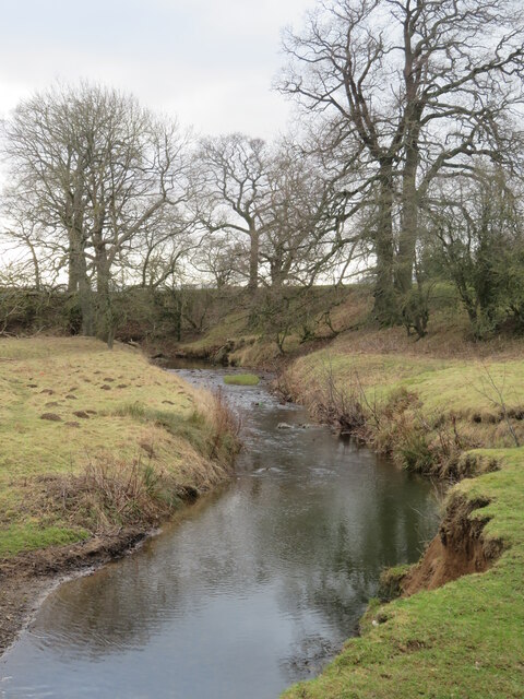
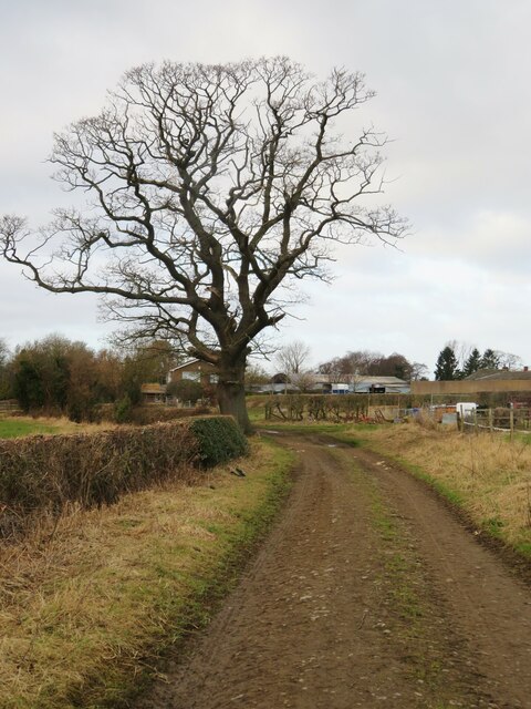
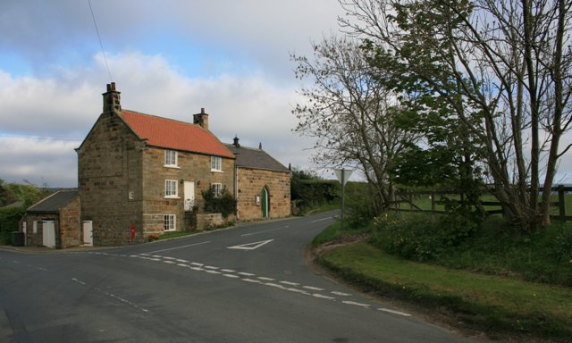
Images are sourced within 2km of 54.480578/-1.1396781 or Grid Reference NZ5509. Thanks to Geograph Open Source API. All images are credited.


Halfpenny Hill is located at Grid Ref: NZ5509 (Lat: 54.480578, Lng: -1.1396781)
Division: North Riding
Administrative County: North Yorkshire
District: Hambleton
Police Authority: North Yorkshire
What 3 Words
///plantings.chimp.jammy. Near Great Ayton, North Yorkshire
Nearby Locations
Related Wikis
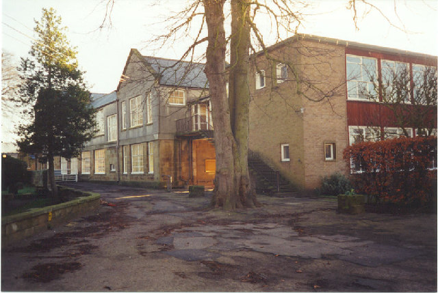
Great Ayton Friends' School
Great Ayton Friends' School (1841–1997) in Great Ayton, North Yorkshire, England, was an independent, co-educational, agricultural boarding school, run...

Great Ayton
Great Ayton is a village and civil parish in North Yorkshire, England. The River Leven (a tributary of the River Tees) flows through the village, which...
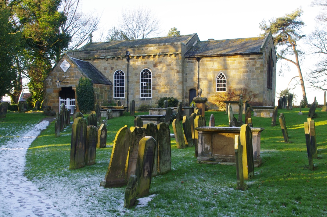
Church of All Saints, Great Ayton
The Church of All Saints is a grade I listed building and former parish church for Great Ayton, North Yorkshire, England. The churchyard is known to contain...

Little Ayton
Little Ayton is a village and civil parish in Hambleton District of North Yorkshire, England and lies immediately south of Great Ayton. The population...

Great Ayton railway station
Great Ayton is a railway station on the Esk Valley Line, which runs between Middlesbrough and Whitby via Nunthorpe. The station, situated 8 miles 37 chains...

Langbaurgh, North Yorkshire
Langbaurgh is a hamlet in the civil parish of Great Ayton in North Yorkshire, England. The place gave its name to the Langbaurgh Wapentake.Langbaurgh Hall...

Cleveland, Yorkshire
Cleveland is a land of hills and dales from the River Tees to Vale of Pickering, England. The name means “cliff-land”. The area corresponds to the former...
Easby, Hambleton
Easby is a village and civil parish in Hambleton District of North Yorkshire, England. It lies approximately 2 miles (3.2 km) south-east of Great Ayton...
Nearby Amenities
Located within 500m of 54.480578,-1.1396781Have you been to Halfpenny Hill?
Leave your review of Halfpenny Hill below (or comments, questions and feedback).