Lyme Hill

Hill, Mountain in Oxfordshire South Oxfordshire

England

Lyme Hill

Oxford transmitting station, Beckley A television and radio station.
Oxford transmitting station, Beckley Credit: Robin Webster

Lyme Hill is a prominent geographical feature located in the county of Oxfordshire, England. Situated in the picturesque village of Chipping Norton, the hill is part of the Cotswold Hills, a designated Area of Outstanding Natural Beauty.

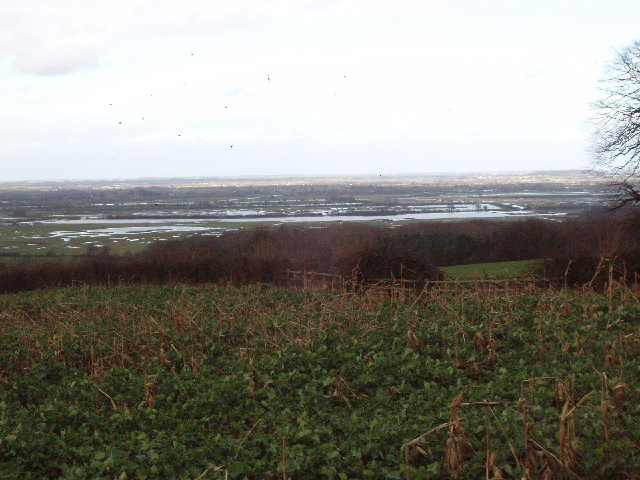
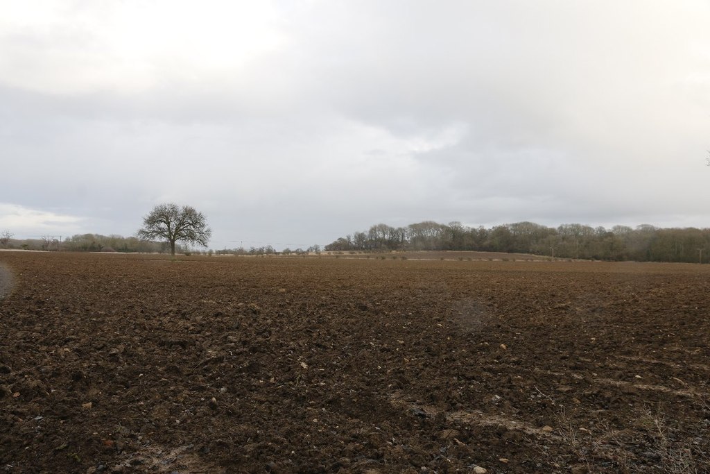
Rising to an elevation of approximately 210 meters (690 feet), Lyme Hill offers breathtaking panoramic views of the surrounding countryside. Covered in lush greenery, the hill is adorned with an array of native flora and fauna, making it a popular destination for nature enthusiasts and hikers.

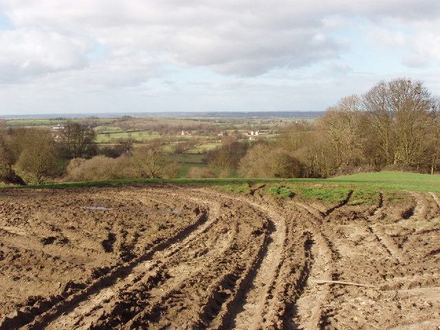
The hill's terrain is characterized by undulating slopes and gentle gradients, providing an accessible and enjoyable walking experience for visitors of all abilities. The paths leading to the summit are well-maintained, ensuring a safe and pleasant trek to the top.

At the summit, one can admire the mesmerizing vistas of the Oxfordshire countryside, with its patchwork fields, rolling hills, and charming villages. On clear days, it is even possible to catch glimpses of the iconic Cotswold stone buildings that dot the landscape.

Lyme Hill also holds historical significance, as it was once part of the ancient Wychwood Forest. The hill's name is believed to have originated from the Old English word "limes," meaning boundary or border. This suggests that the hill may have served as a landmark or boundary marker in the past.

Overall, Lyme Hill stands as a testament to the natural beauty and rich history of Oxfordshire. Its captivating views and tranquil atmosphere make it an ideal destination for those seeking a peaceful retreat or an opportunity to reconnect with nature.

If you have any feedback on the listing, please let us know in the comments section below.
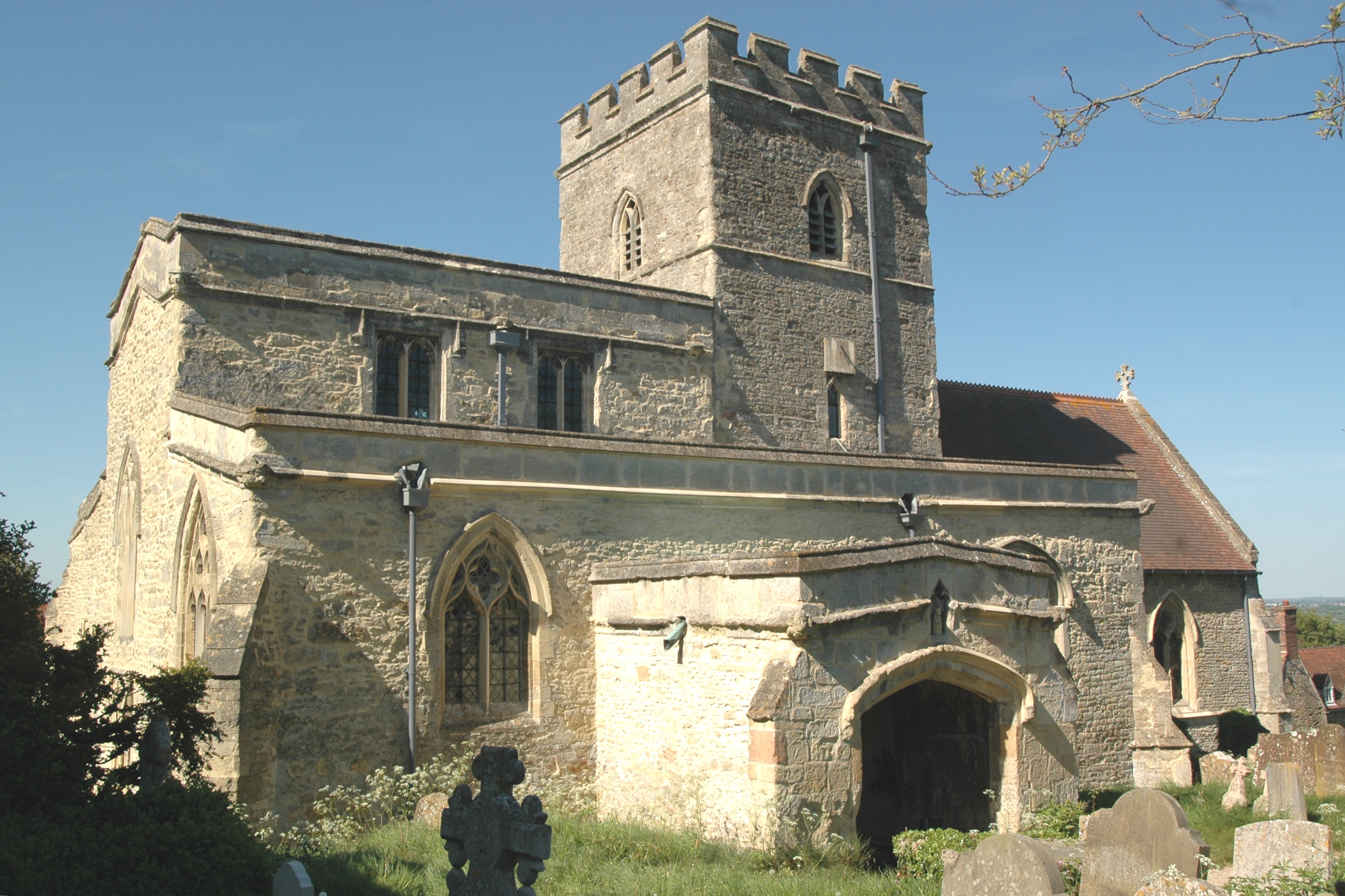
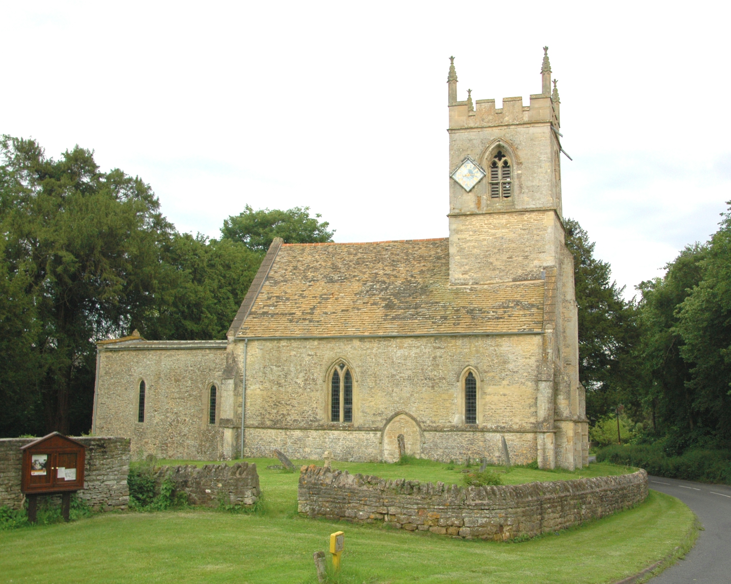
Lyme Hill Images

Images are sourced within 2km of 51.790202/-1.2017653 or Grid Reference SP5510. Thanks to Geograph Open Source API. All images are credited.

Oxford transmitting station, Beckley A television and radio station.
Oxford transmitting station, Beckley
A television and radio station.
Folly Farm
Folly Farm
Beckley
Beckley
The Manor, home of John Buchan The Manor at Elsfield was the home of John Buchan from 1919 - 1935
The Manor, home of John Buchan
The Manor at Elsfield was the home of John Buchan from 1919 - 1935
Assumption of the Blessed Virgin Mary Church, Beckley
East of Elsfield The road does a loop around this field, to North and East of Elsfield. It runs the other side of the hedge on the right and then across, below the brow of the hill, the tops of some of the trees in the hedge can just be seen.
East of Elsfield
The road does a loop around this field, to North and East of Elsfield. It runs the other side of the hedge on the right and then across, below the brow of the hill, the tops of some of the trees in the hedge can just be seen.
Discreet silo Nicely positioned between two trees on the brow of the hill.
Discreet silo
Nicely positioned between two trees on the brow of the hill.
Television masts Viewed from New Inn Road.
Television masts
Viewed from New Inn Road.
Drun's Hill With Woodeaton Wood coming in from the left.
Drun's Hill
With Woodeaton Wood coming in from the left.
The Manor House, Elsfield
Blue plaque for John Buchan On the wall of the Manor House, Elsfield <a href="https://www.geograph.org.uk/photo/334513">SP5310 : The Manor House, Elsfield</a>
Blue plaque for John Buchan
On the wall of the Manor House, Elsfield SP5310 : The Manor House, Elsfield
House by road junction At the point where the Elsfield to Beckley road crosses the B4027.
House by road junction
At the point where the Elsfield to Beckley road crosses the B4027.
The drive to Upper Wood's Farm From the B4027.
The drive to Upper Wood's Farm
From the B4027.
Pasture and Noke Wood View from Folly Farm, Beckley, looking towards Otmoor. It seems to be newly sown grass.
Pasture and Noke Wood
View from Folly Farm, Beckley, looking towards Otmoor. It seems to be newly sown grass.
Otmoor flooded,from  Common Road, Beckley Part of the water on Otmoor is in the wetlands being created by the RSPB, but part is fields flooded after heavy rain. Viewpoint near Folly Farm.
Otmoor flooded,from Common Road, Beckley
Part of the water on Otmoor is in the wetlands being created by the RSPB, but part is fields flooded after heavy rain. Viewpoint near Folly Farm.
Field with Folly Farm beyond Common Road is behind the hedge on the right.
Field with Folly Farm beyond
Common Road is behind the hedge on the right.
Cottage and muck spreader As I photographed this pretty cottage a tractor and muck spreader trundled by.
Cottage and muck spreader
As I photographed this pretty cottage a tractor and muck spreader trundled by.
Churned up field, view towards Noke After heavy rain even this field on a hillside was wet and muddy. Viewpoint near Folly Farm.
Churned up field, view towards Noke
After heavy rain even this field on a hillside was wet and muddy. Viewpoint near Folly Farm.
Show me another place!

Lyme Hill is located at Grid Ref: SP5510 (Lat: 51.790202, Lng: -1.2017653)

Administrative County: Oxfordshire

District: South Oxfordshire

Police Authority: Thames Valley

What 3 Words

///slides.remove.lobby. Near Oxford, Oxfordshire

Nearby Locations

Stow Wood Lyme Hill

Related Wikis

Oxford Montessori Schools

Oxford Montessori Schools is a group of progressive, co-educational private schools based in and around Oxford, England. Founded in 1990, the Oxford Montessori...

Elsfield

Elsfield is an English village and civil parish about 3 miles (5 km) northeast of the centre of Oxford. The village is 310 feet (94 m) above sea level...

Woodeaton Wood

Woodeaton Wood is a 14-hectare (35-acre) biological Site of Special Scientific Interest north of Oxford in Oxfordshire.This coppice with standards on calcareous...

Beckley, Oxfordshire

Beckley is a village in the civil parish of Beckley and Stowood, in the South Oxfordshire district, in the county of Oxfordshire, England. It is about...

Oxford transmitting station

The Oxford transmitting station (sometimes known as the Beckley transmitter) is a broadcasting and telecommunications facility, situated on land 129.5...

A.F.C. Hinksey

A.F.C. Hinksey was an English football club in Oxford. The club last played in the Hellenic Football League Division One East, and folded in 2014. ��2...

Headington Amateurs F.C.

Headington Amateurs Football Club is a football club based in Headington, in Oxford, England. Affiliated to the Oxfordshire County Football Association...

Woodeaton

Woodeaton or Wood Eaton is a village and civil parish about 4 miles (6.4 km) northeast of Oxford, England. It also has a special needs school called Woodeaton...

Nearby Amenities

Located within 500m of 51.790202,-1.2017653
Barrier: chicane
Lat/Long: 51.7895964/-1.2088101
Power: pole
Lat/Long: 51.7919347/-1.2041149
Power: substation
Lat/Long: 51.7859799/-1.202486
Power: substation
Lat/Long: 51.7866612/-1.2024552
Power: substation
Lat/Long: 51.7863853/-1.2048046
Power: substation
Lat/Long: 51.7865844/-1.2036628
Power: pole
Lat/Long: 51.792861/-1.2052968
Power: pole
Lat/Long: 51.7873552/-1.2051164
Power: substation
Lat/Long: 51.7866889/-1.2012998
Power: pole
Lat/Long: 51.7885092/-1.2048829
Power: pole
Lat/Long: 51.789649/-1.2046321
Power: pole
Lat/Long: 51.7906722/-1.2044066
Power: pole
Lat/Long: 51.7888667/-1.2043726
Power: pole
Lat/Long: 51.7902299/-1.2040941
Power: pole
Source: Bing
Lat/Long: 51.7934254/-1.2060644
Power: pole
Source: Bing
Lat/Long: 51.7935352/-1.2034874
Material: wood
Power: pole
Source: Bing
Lat/Long: 51.790782/-1.203966
Power: pole
Source: Bing
Lat/Long: 51.7942884/-1.2028892
Power: pole
Source: Bing
Lat/Long: 51.7932382/-1.2036617
Lyme Hill
Natural: peak
Lat/Long: 51.7912984/-1.2018786
The data included in this document is from www.openstreetmap.org. The data is made available under ODbL.

Have you been to Lyme Hill?

Leave your review of Lyme Hill below (or comments, questions and feedback).