Big Bull Hill

Hill, Mountain in Berkshire South Oxfordshire

England

Big Bull Hill

Byway, Blewbury A restricted byway approaching Woodway from the south.
Byway, Blewbury Credit: Andrew Smith

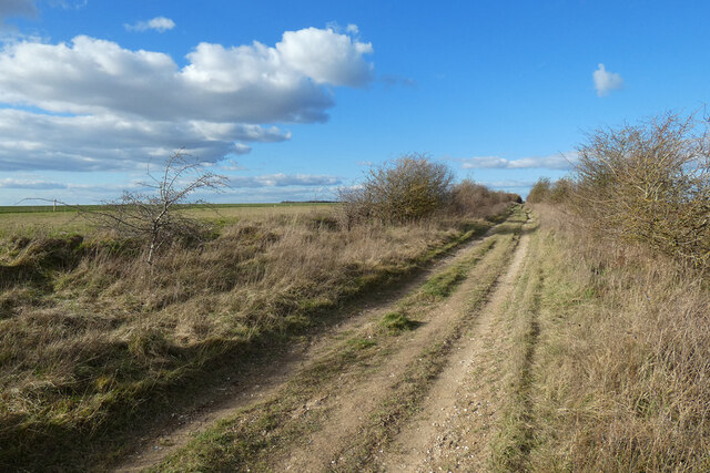
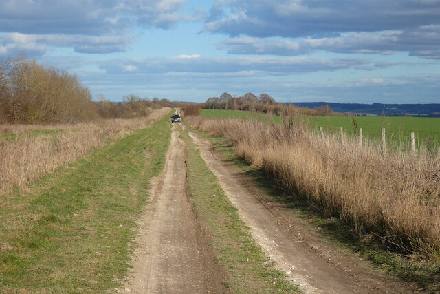
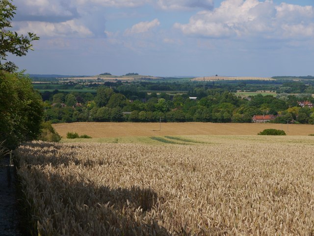
Big Bull Hill, located in Berkshire, England, is a prominent hill that forms part of the Berkshire Downs. With an elevation of approximately 261 meters (856 feet), it offers breathtaking panoramic views of the surrounding countryside. Situated just a few miles east of the town of Lambourn, this hill is a popular destination for outdoor enthusiasts, hikers, and nature lovers.

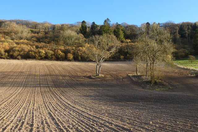
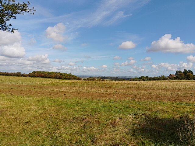
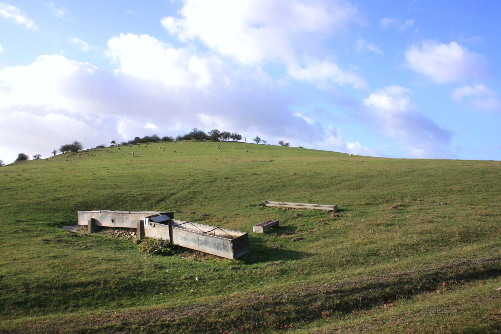
The landscape of Big Bull Hill is characterized by lush green fields, rolling hills, and scattered woodlands. It is home to a diverse range of flora and fauna, making it an ideal habitat for various species of birds, butterflies, and wildflowers. The hill is crisscrossed by a network of footpaths and trails, providing ample opportunities for visitors to explore and enjoy its natural beauty.

The summit of Big Bull Hill provides an uninterrupted view of the surrounding area, offering visitors a chance to see for miles in all directions. On a clear day, one can admire the picturesque countryside, with its patchwork of farmland, quaint villages, and winding rivers. The hill is particularly renowned for its stunning sunsets, as the golden rays paint the sky, creating a mesmerizing spectacle.

Aside from its natural beauty, Big Bull Hill also holds historical significance. It is believed to have been a site of ancient settlements, with remnants of Iron Age hillforts found in the vicinity. These archaeological remains add an extra layer of interest to the hill, attracting history enthusiasts and researchers alike.

Overall, Big Bull Hill in Berkshire offers a wonderful opportunity to connect with nature, soak in stunning vistas, and explore the rich history of the region.

If you have any feedback on the listing, please let us know in the comments section below.

Big Bull Hill Images

Images are sourced within 2km of 51.549136/-1.2060908 or Grid Reference SU5583. Thanks to Geograph Open Source API. All images are credited.

Byway, Blewbury A restricted byway approaching Woodway from the south.
Byway, Blewbury
A restricted byway approaching Woodway from the south.
The Fair Mile, Aston Tirrold The restricted byway descending gradually towards the A417.
The Fair Mile, Aston Tirrold
The restricted byway descending gradually towards the A417.
Farmland, Cholsey A footpath running along the foot of Unhill Bottom approaches Starveall through a cereal crop.
Farmland, Cholsey
A footpath running along the foot of Unhill Bottom approaches Starveall through a cereal crop.
Wood and farmland, Cholsey Recently cultivated land and the steep wooded south-eastern flank of Unhill Bottom.
Wood and farmland, Cholsey
Recently cultivated land and the steep wooded south-eastern flank of Unhill Bottom.
Farmland, Cholsey Trees stand in recently cultivated land, detached from woodland in the upper part of Unhill Bottom.
Farmland, Cholsey
Trees stand in recently cultivated land, detached from woodland in the upper part of Unhill Bottom.
Downland towards Dean's Bottom A field above downland leading to Dean's Bottom. The house to the right is at Warren's Farm.
Downland towards Dean's Bottom
A field above downland leading to Dean's Bottom. The house to the right is at Warren's Farm.
Farmland, Aston Upthorpe, Oxfordshire
Hazy afternoon, Aston Upthorpe, Oxfordshire
View over the Thames Valley, Aston Upthorpe, Oxfordshire
Downland arable south of Aston Tirrold View roughly NNE, from a byway that strikes south from the A417.  Wheat and barley are ripening after a week of sun and high temperatures.

In the original, South Moreton church (recognisable by its belfry) can be made out in the distance - in line with the dip between the two wooded hilltops on the horizon.
Downland arable south of Aston Tirrold
View roughly NNE, from a byway that strikes south from the A417. Wheat and barley are ripening after a week of sun and high temperatures. In the original, South Moreton church (recognisable by its belfry) can be made out in the distance - in line with the dip between the two wooded hilltops on the horizon.
Bridleway south towards the Ridgeway An evening photo, taken at the end of March.  The track leads south from Whiteshoot Stables.
Bridleway south towards the Ridgeway
An evening photo, taken at the end of March. The track leads south from Whiteshoot Stables.
View east across downland arable from Woodway Road Down in the hollow things have changed since Steve Daniels stood on much the same spot in 2012 <a title="https://www.geograph.org.uk/photo/3241102" href="https://www.geograph.org.uk/photo/3241102">Link</a>  There's a substantial construction project underway, but as to its purpose, I wouldn't hazard a guess.

The wooded hilltop is Riddle Hill.
View east across downland arable from Woodway Road
Down in the hollow things have changed since Steve Daniels stood on much the same spot in 2012 Link There's a substantial construction project underway, but as to its purpose, I wouldn't hazard a guess. The wooded hilltop is Riddle Hill.
Field near Deans Bottom View from the footpath of the fields near Deans Bottom
Field near Deans Bottom
View from the footpath of the fields near Deans Bottom
Path to the Fair Mile Leads past Deans Bottom to the Fair Mile and Cholsey Downs
Path to the Fair Mile
Leads past Deans Bottom to the Fair Mile and Cholsey Downs
Maze Growing near Deans Bottom A crop of maze which has been left grows near the path at Deans Bottom
Maze Growing near Deans Bottom
A crop of maze which has been left grows near the path at Deans Bottom
Deans Bottom The only way I could get this photo was to walk along the field boundary to look down on Deans Bottom. It is this area I think was where the battle of Ashdown took place back in January 871
Deans Bottom
The only way I could get this photo was to walk along the field boundary to look down on Deans Bottom. It is this area I think was where the battle of Ashdown took place back in January 871
Deans Bottom Panoramic Panoramic view of Deans Bottom
Deans Bottom Panoramic
Panoramic view of Deans Bottom
Towards Lollingdon Hill View from Deans Bottom towards Lollingdon Hill with Kingstanding Hill to the right
Towards Lollingdon Hill
View from Deans Bottom towards Lollingdon Hill with Kingstanding Hill to the right
Show me another place!

Big Bull Hill is located at Grid Ref: SU5583 (Lat: 51.549136, Lng: -1.2060908)

Administrative County: Oxfordshire

District: South Oxfordshire

Police Authority: Thames Valley

What 3 Words

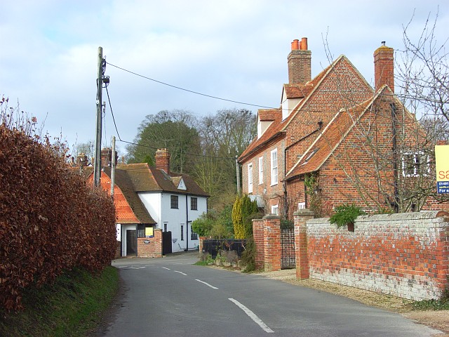
///developed.treating.lifestyle. Near Blewbury, Oxfordshire

Related Wikis

Aston Upthorpe Downs

Aston Upthorpe Downs is a 38.5-hectare (95-acre) biological Site of Special Scientific Interest south of Aston Upthorpe in Oxfordshire. It is a Nature...

Battle of Ashdown

The Battle of Ashdown was a West Saxon victory over a Danish Viking army on about 8 January 871. The location of Ashdown is not known, but may be Kingstanding...

Aston Tirrold

Aston Tirrold is a village and civil parish at the foot of the Berkshire Downs about 3 miles (5 km) southeast of Didcot. It was part of Berkshire until...

Blewburton Hill

Blewburton Hill is the site of an Iron Age hillfort located in Oxfordshire, in the southeast of England. It was a univallate hillfort (with a single rampart...

Aston Upthorpe

Aston Upthorpe is a village and civil parish about 3 miles (5 km) southeast of Didcot in South Oxfordshire. It was part of Berkshire until the 1974 boundary...

Moulsford Downs

Moulsford Downs is a 13.6-hectare (34-acre) biological Site of Special Scientific Interest north-west of Goring-on-Thames in Oxfordshire.This chalk grassland...

Streatley Warren

Streatley Warren is a 31.3-hectare (77-acre) biological Site of Special Scientific Interest west of Streatley in Berkshire. It is in the North Wessex Downs...

Blewbury

Blewbury is a village and civil parish at the foot of the Berkshire Downs section of the North Wessex Downs about 4 miles (6.4 km) south of Didcot, 14...

Have you been to Big Bull Hill?

Leave your review of Big Bull Hill below (or comments, questions and feedback).