The Plantation

Wood, Forest in Berkshire South Oxfordshire

England

The Plantation

The Fair Mile, Aston Tirrold The restricted byway descending gradually towards the A417.
The Fair Mile, Aston Tirrold Credit: Andrew Smith

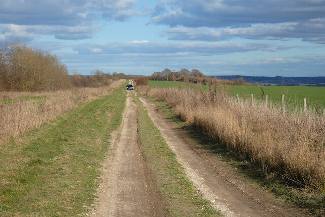
The Plantation, Berkshire, also known as Wood or Forest, is a woodland area located in the county of Berkshire, England. Spanning approximately 200 acres, it is a popular destination for nature enthusiasts, hikers, and wildlife lovers.

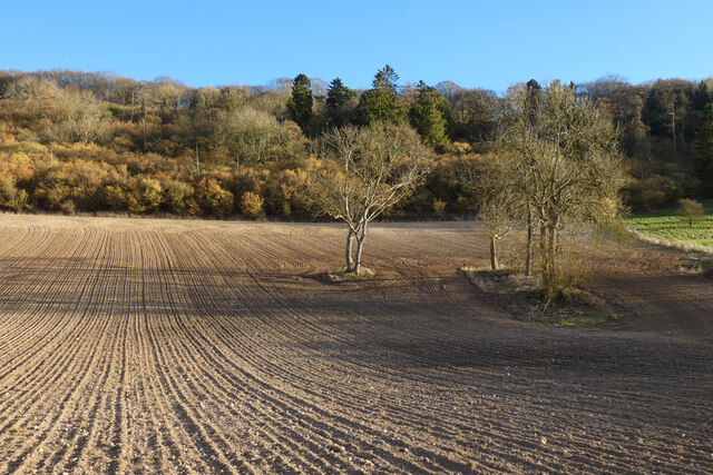
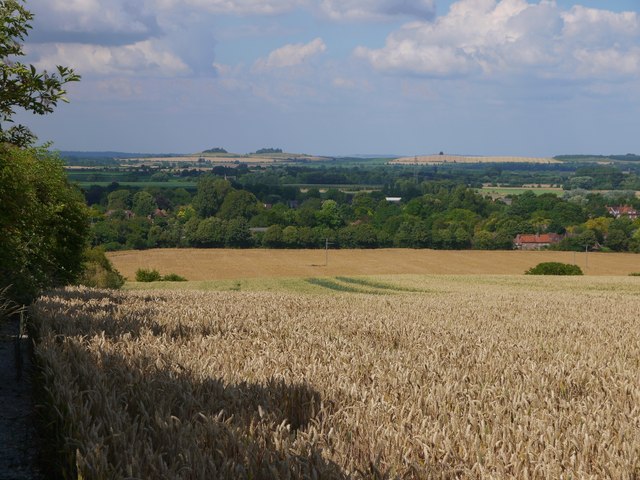
The Plantation is characterized by its diverse range of tree species, including oak, beech, and pine, creating a stunning and picturesque landscape. The woodland is well-maintained, with clearly marked trails and pathways, making it easily accessible for visitors of all ages and abilities.

The area is home to a variety of wildlife, including deer, foxes, rabbits, and a plethora of bird species. Birdwatchers can often spot woodpeckers, owls, and various songbirds throughout the year. The woodland provides a peaceful and tranquil environment, offering a much-needed escape from the hustle and bustle of urban life.

The Plantation offers a range of recreational activities, such as walking, jogging, and cycling. The well-maintained trails provide a perfect opportunity for fitness enthusiasts to enjoy the outdoors while staying active. Additionally, there are designated picnic areas within the woodland, making it an ideal spot for family outings and gatherings.

The woodland also holds historical significance, with remnants of old structures and features scattered throughout the area. These remnants serve as a reminder of the area's past and add to its charm and appeal.

Overall, The Plantation, Berkshire, provides a beautiful and serene natural environment for visitors to enjoy. With its diverse wildlife, well-maintained trails, and historical significance, it is a must-visit destination for anyone seeking a peaceful escape into nature.

If you have any feedback on the listing, please let us know in the comments section below.

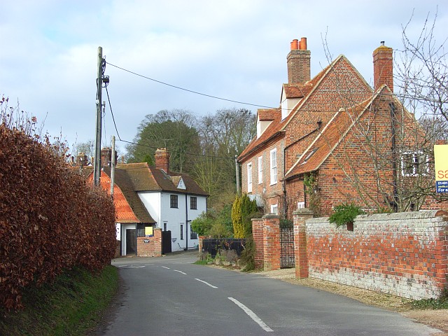
The Plantation Images

Images are sourced within 2km of 51.548714/-1.1956279 or Grid Reference SU5583. Thanks to Geograph Open Source API. All images are credited.

The Fair Mile, Aston Tirrold The restricted byway descending gradually towards the A417.
The Fair Mile, Aston Tirrold
The restricted byway descending gradually towards the A417.
Farmland, Cholsey A footpath running along the foot of Unhill Bottom approaches Starveall through a cereal crop.
Farmland, Cholsey
A footpath running along the foot of Unhill Bottom approaches Starveall through a cereal crop.
Wood and farmland, Cholsey Recently cultivated land and the steep wooded south-eastern flank of Unhill Bottom.
Wood and farmland, Cholsey
Recently cultivated land and the steep wooded south-eastern flank of Unhill Bottom.
Farmland, Cholsey Trees stand in recently cultivated land, detached from woodland in the upper part of Unhill Bottom.
Farmland, Cholsey
Trees stand in recently cultivated land, detached from woodland in the upper part of Unhill Bottom.
Farmland, Aston Upthorpe, Oxfordshire
View over the Thames Valley, Aston Upthorpe, Oxfordshire
Downland arable south of Aston Tirrold View roughly NNE, from a byway that strikes south from the A417.  Wheat and barley are ripening after a week of sun and high temperatures.

In the original, South Moreton church (recognisable by its belfry) can be made out in the distance - in line with the dip between the two wooded hilltops on the horizon.
Downland arable south of Aston Tirrold
View roughly NNE, from a byway that strikes south from the A417. Wheat and barley are ripening after a week of sun and high temperatures. In the original, South Moreton church (recognisable by its belfry) can be made out in the distance - in line with the dip between the two wooded hilltops on the horizon.
Another Flytip Another flytip at the entrance to the Cholsey Downs
Another Flytip
Another flytip at the entrance to the Cholsey Downs
Burnt out Boat Very nice of some person to cut up this old boat before dumping it at the entrance to the Cholsey Downs
Burnt out Boat
Very nice of some person to cut up this old boat before dumping it at the entrance to the Cholsey Downs
Bow on the path The bow of the flytipped boat at the entrance to the Cholsey Downs.
Bow on the path
The bow of the flytipped boat at the entrance to the Cholsey Downs.
Gap by the Gate The people who use the gate have cleared the boat from the entrance for access from the flytip. It took the council two weeks to clear this mess up
Gap by the Gate
The people who use the gate have cleared the boat from the entrance for access from the flytip. It took the council two weeks to clear this mess up
Shoved in the hedge Some of the boat remains dumped at the Downs near Cholsey pushed over in the hedge.
Shoved in the hedge
Some of the boat remains dumped at the Downs near Cholsey pushed over in the hedge.
Bow in the Hedge Part of the boat dumpped at the entrance to the downs at Cholsey pushed over in the hedge, it took another couple of weeks before the council removed it
Bow in the Hedge
Part of the boat dumpped at the entrance to the downs at Cholsey pushed over in the hedge, it took another couple of weeks before the council removed it
Deans Bottom The only way I could get this photo was to walk along the field boundary to look down on Deans Bottom. It is this area I think was where the battle of Ashdown took place back in January 871
Deans Bottom
The only way I could get this photo was to walk along the field boundary to look down on Deans Bottom. It is this area I think was where the battle of Ashdown took place back in January 871
Deans Bottom Panoramic Panoramic view of Deans Bottom
Deans Bottom Panoramic
Panoramic view of Deans Bottom
Towards Lollingdon Hill View from Deans Bottom towards Lollingdon Hill with Kingstanding Hill to the right
Towards Lollingdon Hill
View from Deans Bottom towards Lollingdon Hill with Kingstanding Hill to the right
Cholsey Downs Looking towards Cholsey Downs and Kingstanding Hill from Lowbury Hill
Cholsey Downs
Looking towards Cholsey Downs and Kingstanding Hill from Lowbury Hill
Looking towards Starveall Farm From the bottom of Shortlands Hill looking towards Starveall farm
Looking towards Starveall Farm
From the bottom of Shortlands Hill looking towards Starveall farm
Show me another place!

The Plantation is located at Grid Ref: SU5583 (Lat: 51.548714, Lng: -1.1956279)

Administrative County: Oxfordshire

District: South Oxfordshire

Police Authority: Thames Valley

What 3 Words

///boggles.indulgent.fairly. Near Blewbury, Oxfordshire

Related Wikis

Aston Upthorpe Downs

Aston Upthorpe Downs is a 38.5-hectare (95-acre) biological Site of Special Scientific Interest south of Aston Upthorpe in Oxfordshire. It is a Nature...

Moulsford Downs

Moulsford Downs is a 13.6-hectare (34-acre) biological Site of Special Scientific Interest north-west of Goring-on-Thames in Oxfordshire.This chalk grassland...

Aston Tirrold

Aston Tirrold is a village and civil parish at the foot of the Berkshire Downs about 3 miles (5 km) southeast of Didcot. It was part of Berkshire until...

Battle of Ashdown

The Battle of Ashdown was a West Saxon victory over a Danish Viking army on about 8 January 871. The location of Ashdown is not known, but may be Kingstanding...

Blewburton Hill

Blewburton Hill is the site of an Iron Age hillfort located in Oxfordshire, in the southeast of England. It was a univallate hillfort (with a single rampart...

Aston Upthorpe

Aston Upthorpe is a village and civil parish about 3 miles (5 km) southeast of Didcot in South Oxfordshire. It was part of Berkshire until the 1974 boundary...

Streatley Warren

Streatley Warren is a 31.3-hectare (77-acre) biological Site of Special Scientific Interest west of Streatley in Berkshire. It is in the North Wessex Downs...

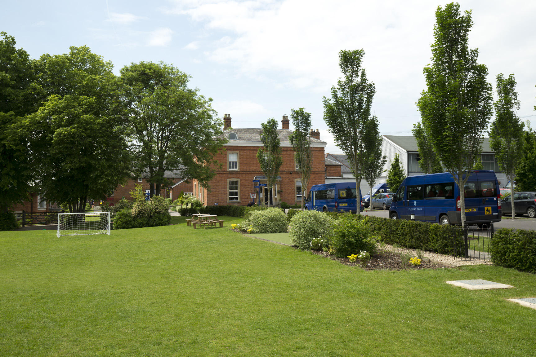
Cranford House School

Cranford School is a co-educational private day school for students aged 3-18 in Moulsford, a village in South Oxfordshire near Wallingford, England. In...

Nearby Amenities

Located within 500m of 51.548714,-1.1956279
Fixme: incomplete
Lat/Long: 51.5489504/-1.1929822
Fixme: incomplete
Lat/Long: 51.5492723/-1.1953667
Fixme: incomplete
Lat/Long: 51.5490055/-1.1980221
Fixme: incomplete
Lat/Long: 51.5481081/-1.1977512
The data included in this document is from www.openstreetmap.org. The data is made available under ODbL.

Have you been to The Plantation?

Leave your review of The Plantation below (or comments, questions and feedback).