Water Flats Wood

Wood, Forest in Yorkshire

England

Water Flats Wood

Path towards Stainton
Path towards Stainton Credit: Chris Morgan

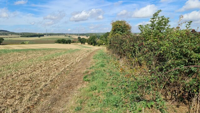
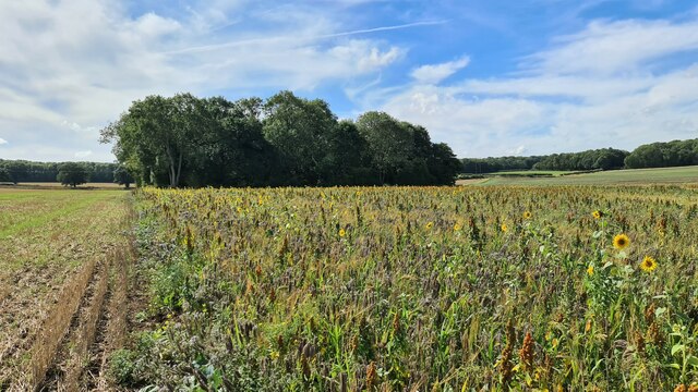
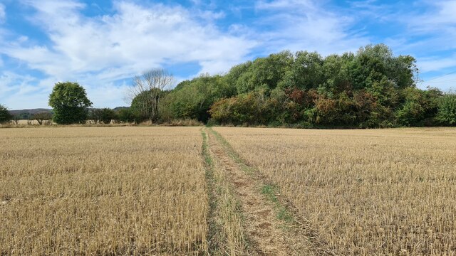
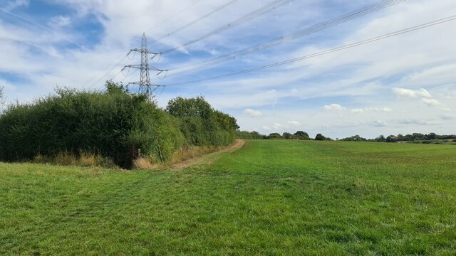
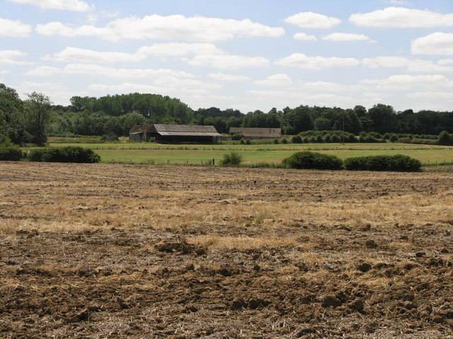
Water Flats Wood is a picturesque forest located in the county of Yorkshire in England. Covering an expansive area, it is a popular destination for nature enthusiasts and outdoor adventurers alike. The wood is characterized by its lush greenery, diverse flora, and tranquil atmosphere.

The forest is home to a wide variety of tree species, including oak, beech, birch, and pine, creating a rich and vibrant ecosystem. The dense canopy of the trees provides shelter for an array of wildlife, such as squirrels, deer, foxes, and numerous species of birds. Birdwatchers often flock to the area to catch a glimpse of rare or migratory species.

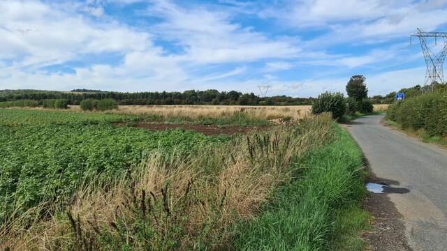
Water Flats Wood is intersected by several meandering streams and small rivers, which contribute to its name. These water features not only add to the beauty of the wood but also provide a habitat for aquatic life. Visitors can enjoy the soothing sounds of running water and even spot fish swimming in the crystal-clear streams.

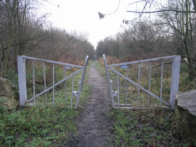
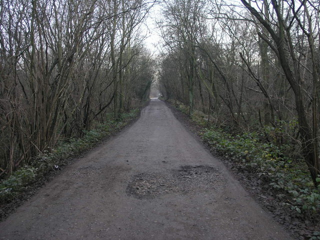
The wood offers a network of well-maintained walking trails, making it an ideal location for hikers and nature walks. Along these paths, visitors can immerse themselves in the natural wonders of the forest, appreciating the tranquility and serenity it offers.

Water Flats Wood is a designated Area of Outstanding Natural Beauty, ensuring that it is preserved and protected for generations to come. Its accessibility and beauty make it a popular destination for locals and tourists seeking a peaceful escape from the bustling city life.

If you have any feedback on the listing, please let us know in the comments section below.

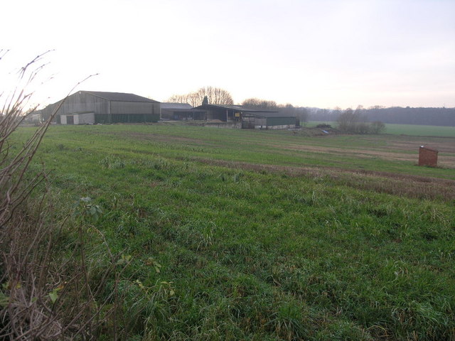
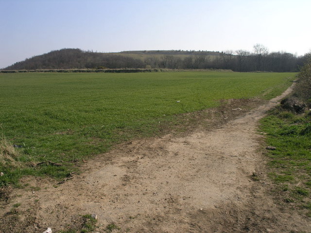
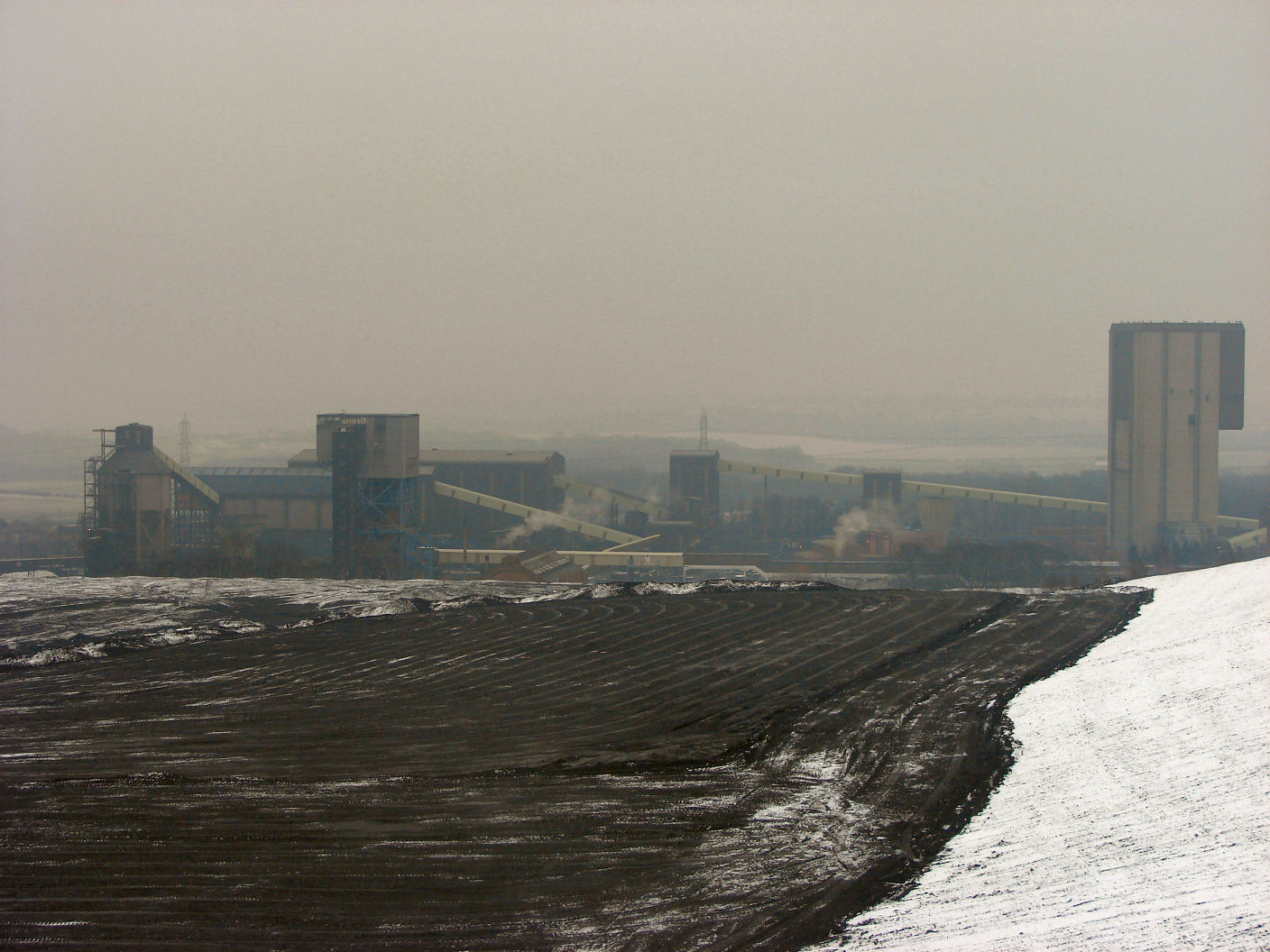
Water Flats Wood Images

Images are sourced within 2km of 53.421721/-1.1606978 or Grid Reference SK5591. Thanks to Geograph Open Source API. All images are credited.

Path towards Stainton
Sunflowers by Cart House Holt
1923 Maltby Colliery Mining Disaster Memorial Unveiled in 2015 it marks the spot underground where 27 men died after an explosion on 28th July 1923. The full story here; <span class="nowrap"><a title="https://www.nmrs.org.uk/mines-map/accidents-disasters/yorkshire/maltby-main-colliery-explosion-maltby-1923/" rel="nofollow ugc noopener" href="https://www.nmrs.org.uk/mines-map/accidents-disasters/yorkshire/maltby-main-colliery-explosion-maltby-1923/">Link</a><img style="margin-left:2px;" alt="External link" title="External link - shift click to open in new window" src="https://s1.geograph.org.uk/img/external.png" width="10" height="10"/></span>
1923 Maltby Colliery Mining Disaster Memorial
Unveiled in 2015 it marks the spot underground where 27 men died after an explosion on 28th July 1923. The full story here; LinkExternal link
Limekiln Lane Approaching Stainton
Limekiln Lane
Approaching Stainton
Path through Stainton Bottoms
End of Hindley Lane
End of Hindley Lane
Tickhill Alpacas Glamping and walking
Tickhill Alpacas
Glamping and walking
The Three Tuns, Stainton
St.Winifred's church, Stainton Norman and Early English origins with a Perpendicular tower. Surprising tranquility surrounded by pits and quarries.
St.Winifred's church, Stainton
Norman and Early English origins with a Perpendicular tower. Surprising tranquility surrounded by pits and quarries.
Stainton Woodhouse A huge farm near Maltby
Stainton Woodhouse
A huge farm near Maltby
Railway Bridge This bridge carries the railway over Scotch Spring Lane.  The railway branches off at this point into Maltby Colliery.
Railway Bridge
This bridge carries the railway over Scotch Spring Lane. The railway branches off at this point into Maltby Colliery.
Triangular Field This small triangular field is surrounded by two small lanes and at the far side the A631.
Triangular Field
This small triangular field is surrounded by two small lanes and at the far side the A631.
Abandoned Farm This farm looks as if it is abandoned now.  No doubt it will be converted into luxury living accommodation and its new tenants will then complain about the noise from the coal mine across the road.
Abandoned Farm
This farm looks as if it is abandoned now. No doubt it will be converted into luxury living accommodation and its new tenants will then complain about the noise from the coal mine across the road.
Colliery Entrance An increasingly rare sight of a colliery entrance.  This one being for Maltby Colliery.
Colliery Entrance
An increasingly rare sight of a colliery entrance. This one being for Maltby Colliery.
Path to Sandbeck This footpath leads from the entrance to Malby Colliery and Sandbeck Lodge.
Path to Sandbeck
This footpath leads from the entrance to Malby Colliery and Sandbeck Lodge.
Track to Sandbeck This track leads to Sandbeck Lodge.
Track to Sandbeck
This track leads to Sandbeck Lodge.
Farm and Shed Woolthwaite Farm has a mysterious small brick built shed in the field next to it.
Farm and Shed
Woolthwaite Farm has a mysterious small brick built shed in the field next to it.
Footpath and Spoil Heap The footpath to the right runs along side the spoil heap of Maltby Colliery on its way to Maltby.
Footpath and Spoil Heap
The footpath to the right runs along side the spoil heap of Maltby Colliery on its way to Maltby.
Show me another place!

Water Flats Wood is located at Grid Ref: SK5591 (Lat: 53.421721, Lng: -1.1606978)

Division: West Riding

Unitary Authority: Rotherham

Police Authority: South Yorkshire

What 3 Words

///riot.buzzards.column. Near Stainton, South Yorkshire

Related Wikis

ROF Maltby

ROF Maltby was a Royal Ordnance Factory rifle manufacturing plant near Maltby, South Yorkshire which manufactured weapons such as the Lee–Enfield rifle...

Maltby railway station

Maltby railway station was located on the South Yorkshire Joint Railway (SYJR) on the eastern edge of Maltby, South Yorkshire, England. It opened 1910...

Maltby Main Colliery

The Maltby Main Colliery was a coal mine located 7 miles (11 km) east of Rotherham on the eastern edge of Maltby, South Yorkshire, England. The mine was...

Stainton, South Yorkshire

Stainton is a village and civil parish in the Metropolitan Borough of Doncaster in South Yorkshire, England. The parish has a population of 269, increasing...

Maltby Main F.C.

Maltby Main Football Club is a football club based in Maltby, Rotherham, South Yorkshire. They are currently members of the Northern Counties East League...

Stone, South Yorkshire

Stone is a hamlet in the civil parish of Maltby, in the Rotherham district lying to the south of Rotherham, South Yorkshire, England. Roche Abbey stands...

Roche Abbey

Roche Abbey is a now-ruined abbey in the civil parish of Maltby, Rotherham, South Yorkshire, England. It is in the valley of Maltby Dyke, known locally...

Tickhill Friary

Tickhill Friary was an Augustinian friary in Tickhill, South Yorkshire, England. John Clarel, a canon of Southwell, founded it about 1260. It was dissolved...
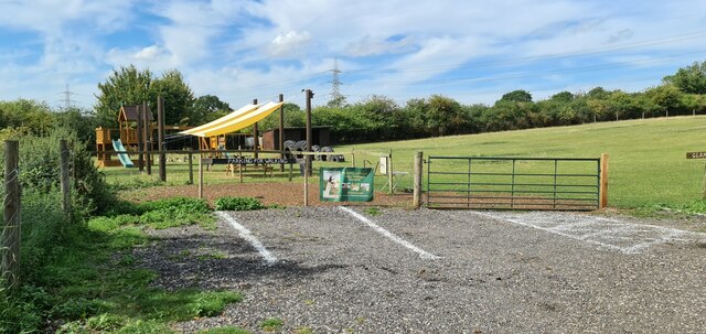
Nearby Amenities

Located within 500m of 53.421721,-1.1606978
Bus Stop
Tickhill Road/Aven Industrial Park
Alt Name: Tickhill Road/Aven Industrial Park
Bus: yes
Naptan AltCommonName: Tickhill Road/Aven Industrial Park
Naptan AtcoCode: 370031209
Naptan Bearing: SW
Naptan CommonName: Tickhill Road/Aven Industrial Park
Naptan Indicator: 31209
Naptan Landmark: AVEN INDUSTRIAL PARK
Naptan PlusbusZoneRef: ROTHCEN
Naptan Street: Tickhill Road
Naptan Verified: no
Public Transport: platform
Source: naptan_import
Lat/Long: 53.4229403/-1.1653842
Bus Stop
Tickhill Road/Aven Industrial Park
Alt Name: Tickhill Road/Aven Industrial Park
Bus: yes
Naptan AltCommonName: Tickhill Road/Aven Industrial Park
Naptan AtcoCode: 370031210
Naptan Bearing: NE
Naptan CommonName: Tickhill Road/Aven Industrial Park
Naptan Indicator: 31210
Naptan Landmark: AVEN INDUSTRIAL PARK
Naptan PlusbusZoneRef: ROTHCEN
Naptan Street: Tickhill Road
Naptan Verified: no
Public Transport: platform
Source: naptan_import
Lat/Long: 53.4232477/-1.1647663
Power: tower
Lat/Long: 53.4251821/-1.156365
Power: tower
Lat/Long: 53.421491/-1.1643211
Power: tower
Lat/Long: 53.4229518/-1.1611798
Power: pole
Lat/Long: 53.4207306/-1.1673484
Design: h-frame
Material: wood
Power: tower
Lat/Long: 53.4208244/-1.1676001
Design: h-frame
Material: wood
Power: tower
Lat/Long: 53.4216549/-1.1655525
Power: pole
Lat/Long: 53.4218681/-1.1579511
Power: pole
Lat/Long: 53.4219208/-1.155086
Design: h-frame
Material: wood
Power: tower
Lat/Long: 53.4221431/-1.1650126
Power: pole
Lat/Long: 53.422273/-1.1602123
Design: h-frame
Material: wood
Power: tower
Lat/Long: 53.4223262/-1.1637948
Design: h-frame
Material: wood
Power: tower
Lat/Long: 53.422485/-1.1639584
Design: h-frame
Material: wood
Power: tower
Lat/Long: 53.42262/-1.1640839
Power: pole
Lat/Long: 53.4237653/-1.1623703
Power: pole
Lat/Long: 53.4239114/-1.1617239
Power: pole
Lat/Long: 53.4247344/-1.1603726
Power: tower
Lat/Long: 53.4248723/-1.1609346
Power: pole
Lat/Long: 53.4252939/-1.1594904
Power: pole
Lat/Long: 53.425938/-1.1584443
Power: pole
Lat/Long: 53.4260378/-1.161947
Power: pole
Lat/Long: 53.4255006/-1.1592137
Power: pole
Lat/Long: 53.4259929/-1.1610363
Power: pole
Lat/Long: 53.4254022/-1.1605905
Power: pole
Lat/Long: 53.425594/-1.1579486
Design: h-frame
Material: wood
Power: tower
Lat/Long: 53.4214864/-1.1663011
The data included in this document is from www.openstreetmap.org. The data is made available under ODbL.

Have you been to Water Flats Wood?

Leave your review of Water Flats Wood below (or comments, questions and feedback).