Kingsgate
Settlement in Kent Thanet
England
Kingsgate

Kingsgate is a small village located in the county of Kent, England. Situated on the southeastern coast of the country, it lies between the towns of Broadstairs and Margate. The village is a part of the district of Thanet and falls within the administrative boundaries of the Thanet District Council.
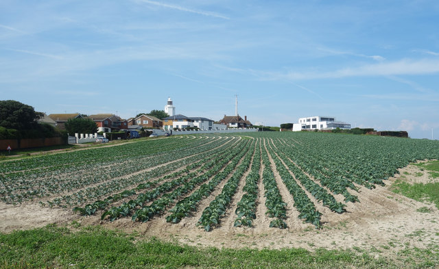
Kingsgate is known for its picturesque coastal setting, with stunning views of the English Channel. The village is nestled between the chalk cliffs of Botany Bay and the sandy beaches of Joss Bay, making it a popular destination for tourists and locals alike. The area is renowned for its natural beauty, with the cliffs providing an impressive backdrop for leisurely walks and hikes.
The village itself is relatively small, with a close-knit community and a handful of amenities. There are a few shops, cafes, and pubs in the area, offering convenience to residents and visitors. Kingsgate is also home to a golf course, adding to the recreational options available to its residents.
Transport links in Kingsgate are convenient, with regular bus services connecting the village to neighboring towns. The closest train station is in Margate, providing rail access to other parts of Kent and beyond.
Overall, Kingsgate offers a tranquil coastal retreat, combining natural beauty with a peaceful community atmosphere. Its proximity to both the beach and scenic cliffs make it an appealing destination for those seeking relaxation and outdoor activities in a picturesque setting.
If you have any feedback on the listing, please let us know in the comments section below.
Kingsgate Images
Images are sourced within 2km of 51.382089/1.438366 or Grid Reference TR3970. Thanks to Geograph Open Source API. All images are credited.


Kingsgate is located at Grid Ref: TR3970 (Lat: 51.382089, Lng: 1.438366)
Administrative County: Kent
District: Thanet
Police Authority: Kent
What 3 Words
///hedge.pack.submit. Near St Peters, Kent
Nearby Locations
Related Wikis
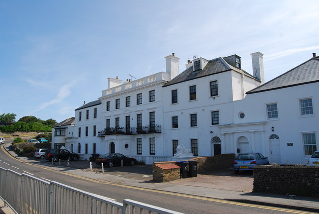
Holland House, Kingsgate
Holland House, Kingsgate, in Kent, is a Georgian country house built between 1762 and 1768 as his retirement home by the politician Henry Fox, 1st Baron...
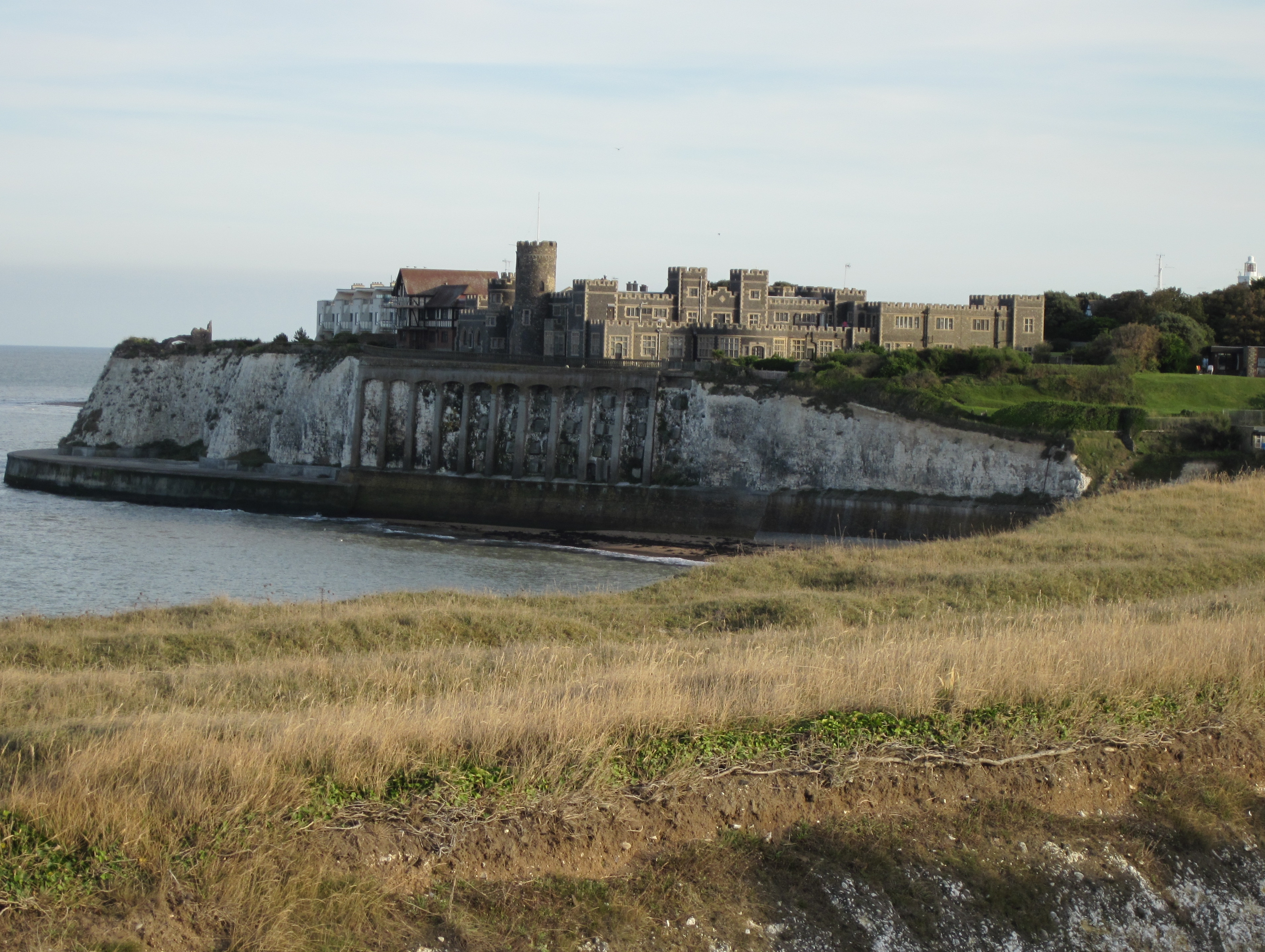
Kingsgate Castle
Kingsgate Castle on the cliffs above Kingsgate Bay, Broadstairs, Kent, was built for Lord Holland (Henry Fox, 1st Baron Holland) in the 1760s as the stable...
Kingsgate, Kent
Kingsgate is a hamlet in St Peter's parish, Broadstairs, Kent. The name Kingsgate is related to an incidental landing of Charles II on 30 June 1683 (‘gate...
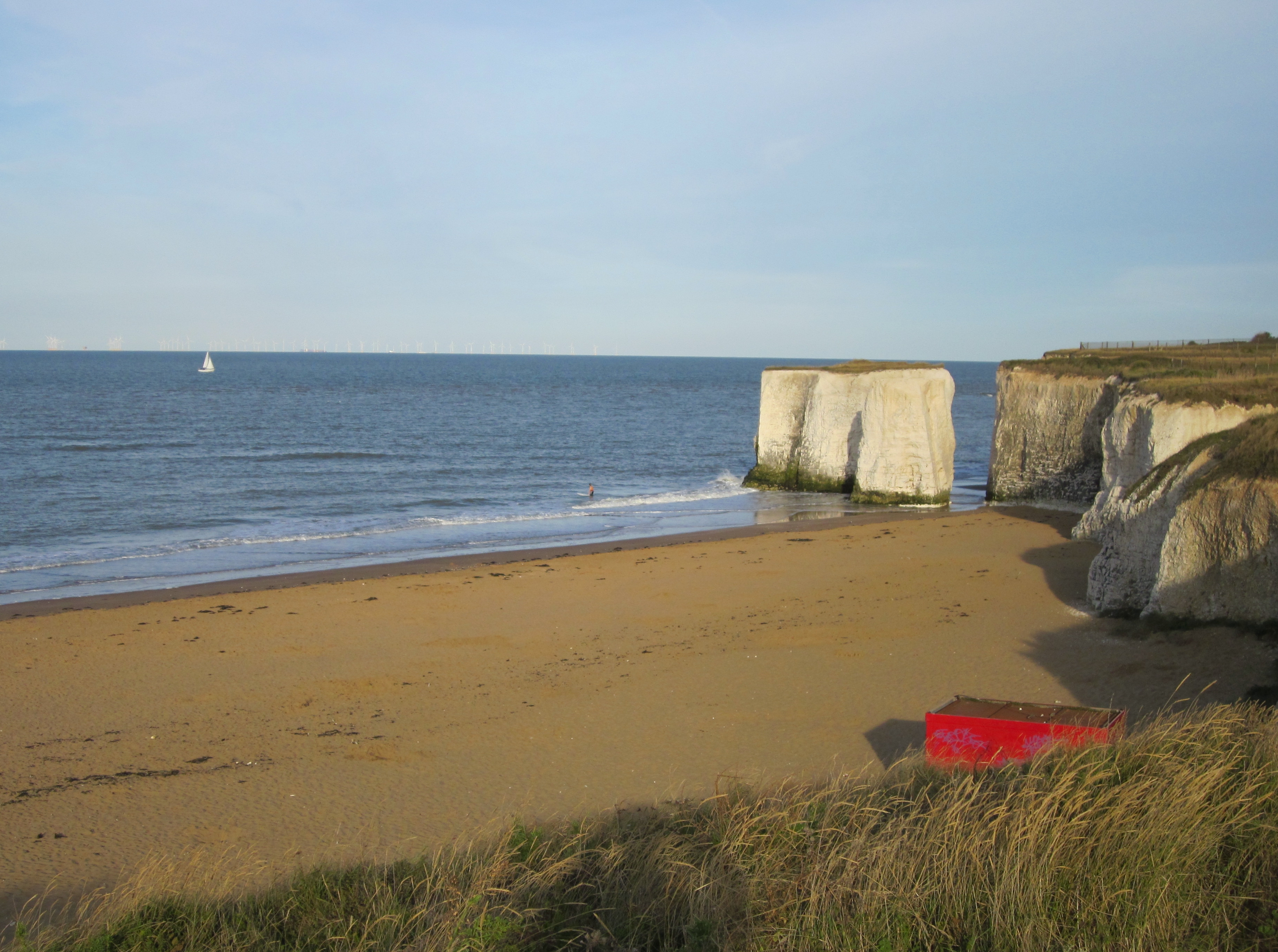
Botany Bay, Kent
Botany Bay is a bay in Broadstairs facing the north sea, Kent, England. Botany Bay is the northernmost of seven bays in Broadstairs. It features chalk...
Nearby Amenities
Located within 500m of 51.382089,1.438366Have you been to Kingsgate?
Leave your review of Kingsgate below (or comments, questions and feedback).