Kingsford

Settlement in Worcestershire South Staffordshire

England

Kingsford

House On The Outskirts Of Kinver. This house replaced an old Cottage, around 1990
House On The Outskirts Of Kinver. Credit: Mick Malpass

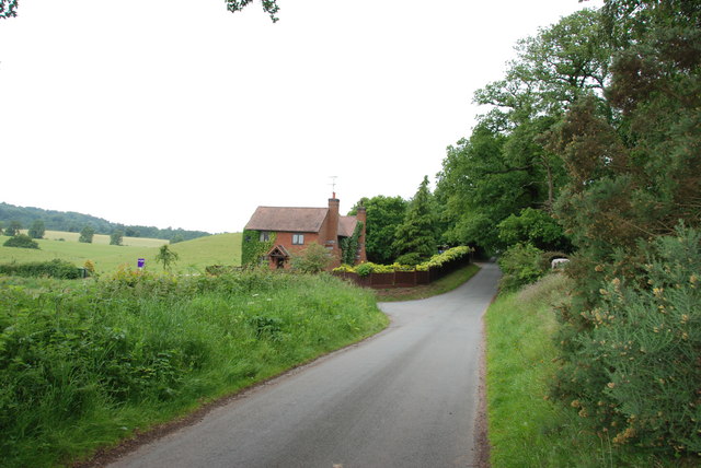
Kingsford is a small village located in the county of Worcestershire, England. Situated approximately 5 miles southeast of the town of Bromsgrove, Kingsford is nestled in a picturesque rural setting with rolling hills and meandering streams.

The village is home to a tight-knit community of around 300 residents, creating a close and friendly atmosphere. The centerpiece of Kingsford is the charming St. Mary's Church, which dates back to the 12th century and showcases stunning medieval architecture. The church serves as a focal point for both religious worship and community gatherings.

Despite its small size, Kingsford boasts a few amenities to cater to the needs of its residents. The village is home to a well-regarded primary school, providing education for children in the local area. Additionally, there is a quaint village pub, The Kingsford Arms, offering a cozy atmosphere for locals and visitors alike to enjoy a drink or a meal.

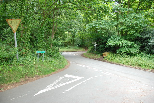
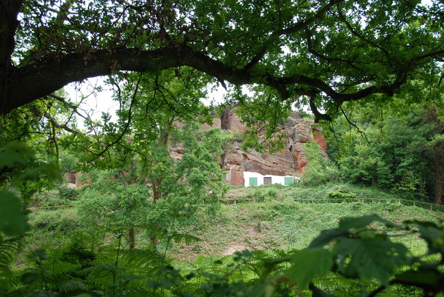
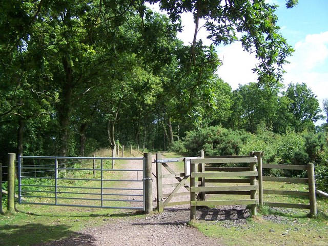
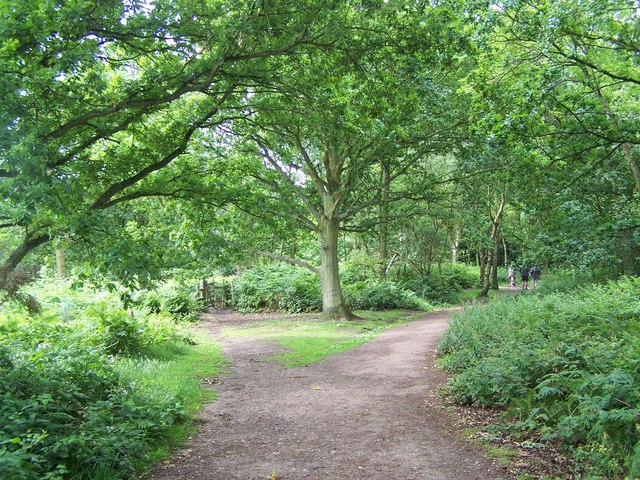
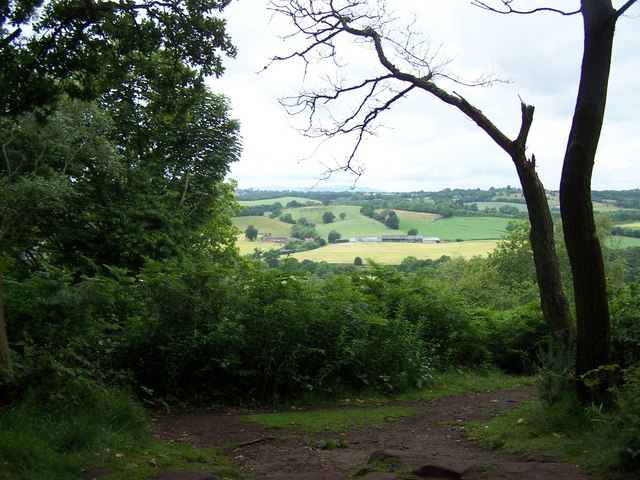
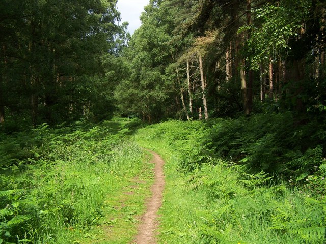
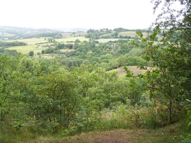
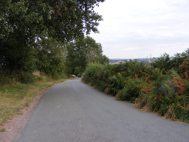
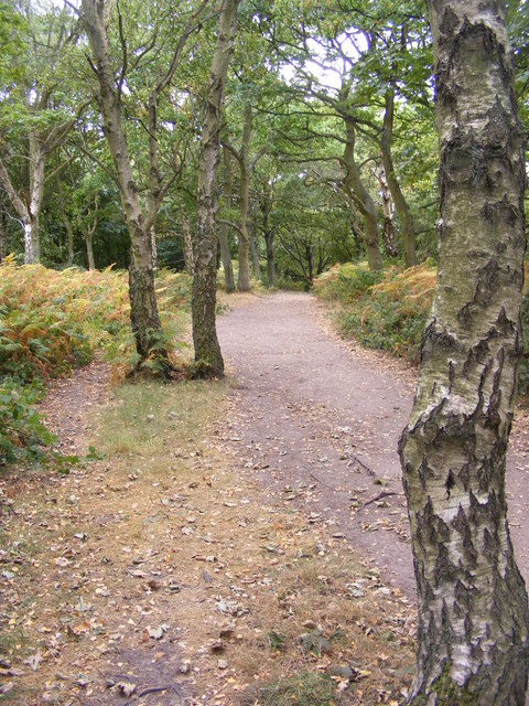
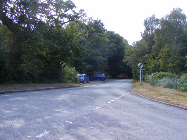
For those seeking outdoor pursuits, Kingsford offers beautiful countryside scenery, making it a popular destination for walkers and nature enthusiasts. The surrounding area provides ample opportunities for hiking, cycling, and exploring the nearby woodlands and fields.

Overall, Kingsford provides a peaceful and idyllic setting for those looking for a quiet village lifestyle, while still maintaining close proximity to larger towns and cities in Worcestershire. With its rich history, friendly community, and beautiful natural surroundings, Kingsford truly encapsulates the charm of rural England.

If you have any feedback on the listing, please let us know in the comments section below.

Kingsford Images

Images are sourced within 2km of 52.440534/-2.2636793 or Grid Reference SO8282. Thanks to Geograph Open Source API. All images are credited.

House On The Outskirts Of Kinver. This house replaced an old Cottage, around 1990
House On The Outskirts Of Kinver.
This house replaced an old Cottage, around 1990
Crossroads Near Holy Austin Rock, Kinver. These Crossroads are at the Kinver end of Kingsford Lane.
Crossroads Near Holy Austin Rock, Kinver.
These Crossroads are at the Kinver end of Kingsford Lane.
Holy Austin Rock, Kinver. One of the Rock houses has been restored, and is open to the public at certain times.The others have been closed off, as is evident from the Photo, for Health & Safety reasons.
Holy Austin Rock, Kinver.
One of the Rock houses has been restored, and is open to the public at certain times.The others have been closed off, as is evident from the Photo, for Health & Safety reasons.
Staffordshire Way Nearing Kinver
Staffordshire Way On Kinver Edge
View From Kinver Edge
Footpath In Kingsford Forest Park
View From Kingsford Forest Park
Gipsy Lane The lane runs from Kinver Edge towards Cookley Lane.
Gipsy Lane
The lane runs from Kinver Edge towards Cookley Lane.
Kinver Edge Car Park The car and picnic site at the junction of Sandy Lane and Gipsy Lane.
Kinver Edge Car Park
The car and picnic site at the junction of Sandy Lane and Gipsy Lane.
Kinver Ridge Path The footpath runs along the ridge of Kinver Edge.
Kinver Ridge Path
The footpath runs along the ridge of Kinver Edge.
Kinver Lane Junction The view along Compton Road from Meddings Lane, next to Kinver Edge National Trust woodland.
Kinver Lane Junction
The view along Compton Road from Meddings Lane, next to Kinver Edge National Trust woodland.
Kinver Edge Scene The view of the woodland and heath on the National Trust's Kinver Edge near Comber Road.
Kinver Edge Scene
The view of the woodland and heath on the National Trust's Kinver Edge near Comber Road.
Kinver Edge Gate The view of the path into the woodland on the National Trust's Kinver Edge near Comber Road.
Kinver Edge Gate
The view of the path into the woodland on the National Trust's Kinver Edge near Comber Road.
Kinver Edge Trees The view of the trees and heathland on the National Trust's Kinver Edge near Comber Road.
Kinver Edge Trees
The view of the trees and heathland on the National Trust's Kinver Edge near Comber Road.
Kinver Edge View The view from the heathland on the border of the National Trust's Kinver Edge.
Kinver Edge View
The view from the heathland on the border of the National Trust's Kinver Edge.
Kinver Edge Sheep Two sheep take a drink from the trough on the border of the National Trust's Kinver Edge.
Kinver Edge Sheep
Two sheep take a drink from the trough on the border of the National Trust's Kinver Edge.
Road Junction, Kinver Edge This is the junction of Comber Road on the left, Church Hill to the right and Sandy Lane, going out of the bottom of the picture.
Road Junction, Kinver Edge
This is the junction of Comber Road on the left, Church Hill to the right and Sandy Lane, going out of the bottom of the picture.
Show me another place!

Kingsford is located at Grid Ref: SO8282 (Lat: 52.440534, Lng: -2.2636793)

Administrative County: Staffordshire

District: South Staffordshire

Police Authority: Staffordshire

What 3 Words

///purist.teardrop.avoid. Near Kinvere, Staffordshire

Nearby Locations

Kingsford

Related Wikis

Kingsford, Worcestershire

Kingsford is a large hamlet in Worcestershire, England. == Location == Kingsford is located one mile (1.6 km) north of the village of Wolverley, Worcestershire...

Castle Hill, Wolverley

Castle Hill or Baron Hill is about a mile from the hamlet of Kingsford in the civil parish of Wolverley and Cookley, Worcestershire. In 1912 the site consisted...

Kingsford Country Park

Kingsford Country Park, officially Kingsford Forest Park, was in Worcestershire, England, U.K. and managed by Worcestershire County Council. It adjoined...

Kinver Edge Hillfort

Kinver Edge Hillfort, is a univallate Iron Age hillfort with a massive rampart and outer ditch along the south-west and south-east sides, with natural...

Nearby Amenities

Located within 500m of 52.440534,-2.2636793
Barrier: stile
Source: survey
Lat/Long: 52.4383957/-2.2682505
Parking
Fee: no
Parking: surface
Source: survey
Lat/Long: 52.4369796/-2.2593327
Parking
Access: yes
Fee: no
Parking: surface
Source: survey
Lat/Long: 52.4365343/-2.2604322
Source: OS_OpenData
Lat/Long: 52.438824/-2.2599026
Barrier: stile
Source: survey
Lat/Long: 52.4395023/-2.2664043
The data included in this document is from www.openstreetmap.org. The data is made available under ODbL.

Have you been to Kingsford?

Leave your review of Kingsford below (or comments, questions and feedback).