Old Wives' Hill
Hill, Mountain in Yorkshire Harrogate
England
Old Wives' Hill
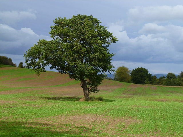
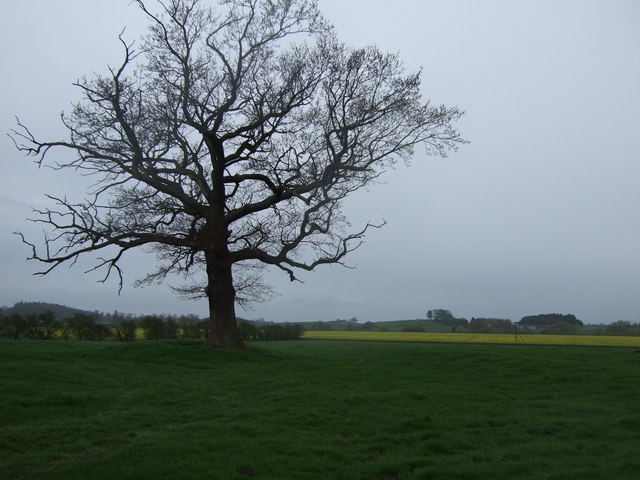
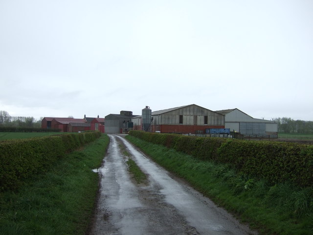
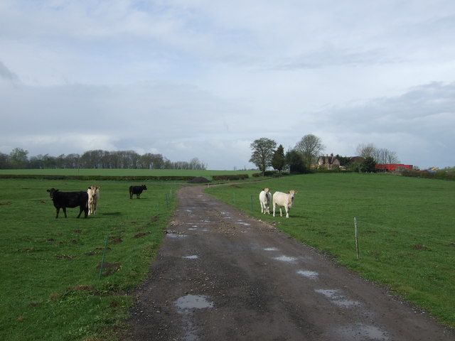
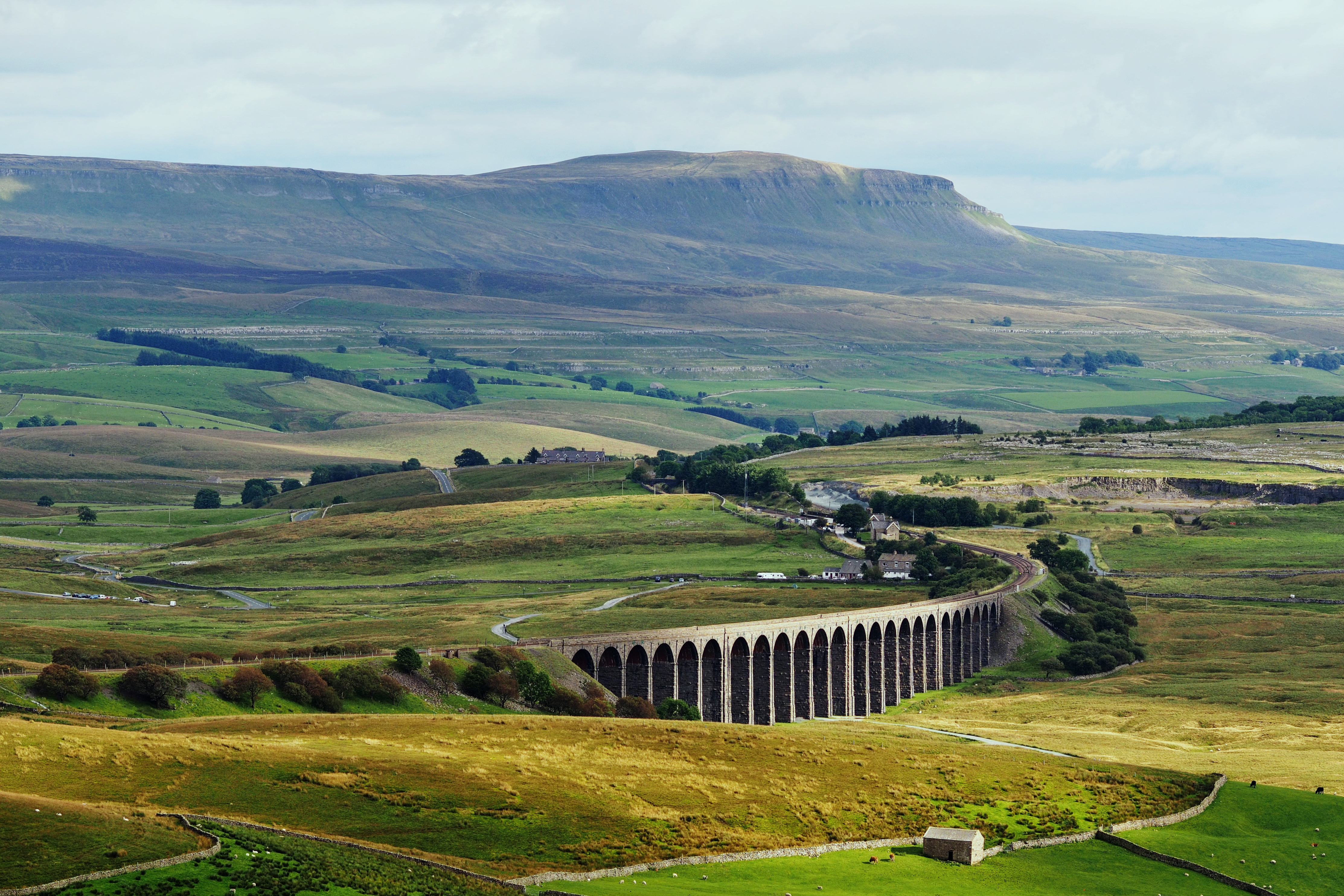
Old Wives' Hill, located in Yorkshire, England, is a prominent hill that forms part of the stunning landscape of the Yorkshire Dales National Park. Rising to an elevation of approximately 500 meters (1,640 feet), it is considered a notable landmark in the region.
The hill derives its name from local folklore, which suggests that it was a gathering place for elderly women who would meet to share tales and wisdom. This folklore has contributed to its popularity among locals and tourists alike, adding a touch of mystique to the hill's identity.
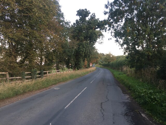
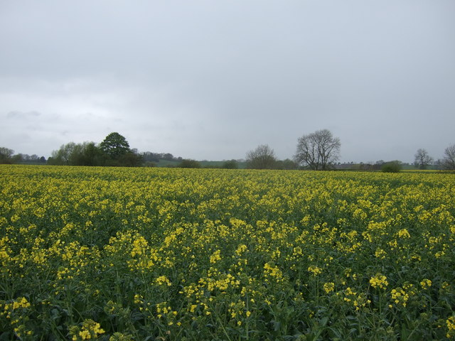
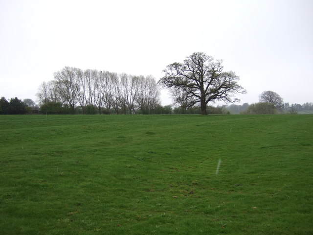
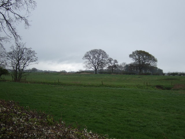
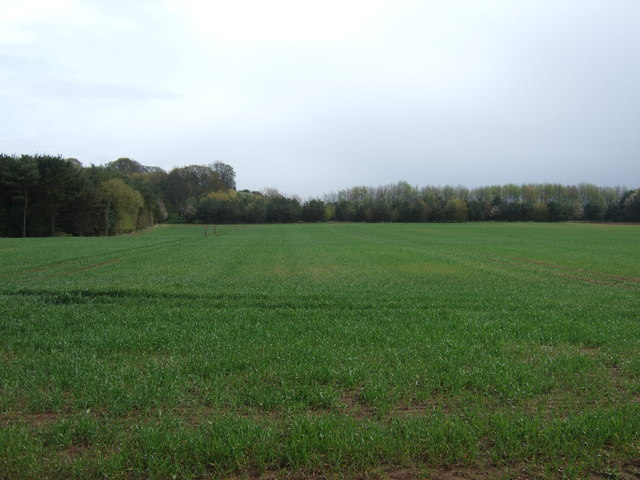
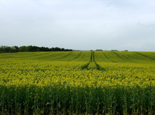
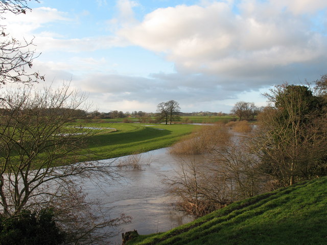
Old Wives' Hill offers breathtaking panoramic views of the surrounding countryside, with its summit providing a vantage point from which visitors can admire the rolling hills, lush valleys, and picturesque villages that dot the Yorkshire landscape. On clear days, it is even possible to catch glimpses of the distant Pennine Mountains to the west.
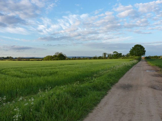
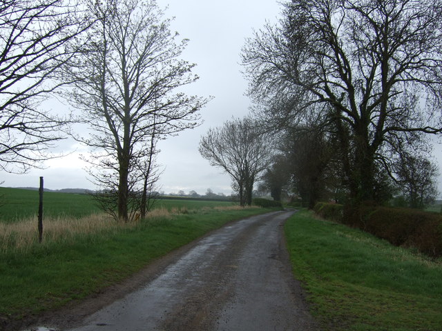
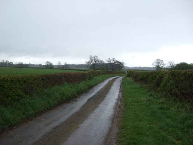
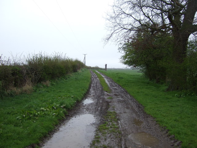
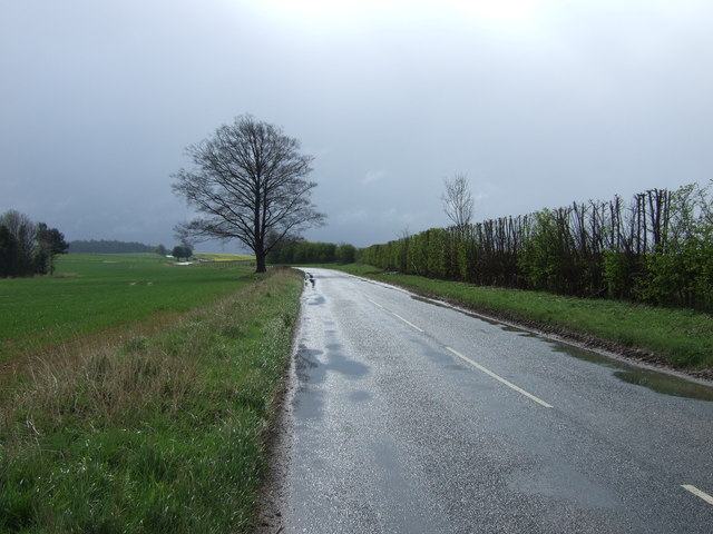
The hill is accessible via several walking routes, which cater to hikers of varying abilities. These trails meander through beautiful meadows, ancient woodlands, and along babbling brooks, offering visitors a chance to immerse themselves in the natural splendor of the area.
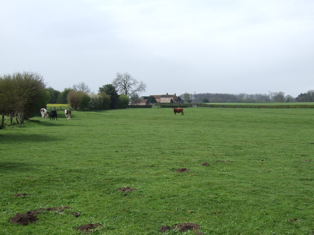
Old Wives' Hill also boasts a rich biodiversity, with various species of flora and fauna inhabiting its slopes. Rare wildflowers, such as the Northern Marsh Orchid, can be found here, along with birds like the red grouse and curlew, which are native to the region.
Overall, Old Wives' Hill is a captivating destination for nature enthusiasts, history buffs, and those seeking tranquility amidst the stunning Yorkshire countryside.
If you have any feedback on the listing, please let us know in the comments section below.
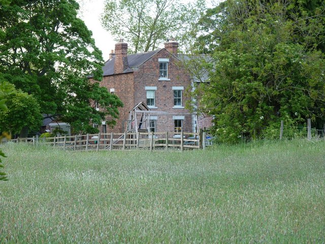
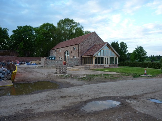
Old Wives' Hill Images
Images are sourced within 2km of 54.151345/-1.356602 or Grid Reference SE4273. Thanks to Geograph Open Source API. All images are credited.
Old Wives' Hill is located at Grid Ref: SE4273 (Lat: 54.151345, Lng: -1.356602)
Division: North Riding
Administrative County: North Yorkshire
District: Harrogate
Police Authority: North Yorkshire
What 3 Words
///lands.swimsuits.decades. Near Boroughbridge, North Yorkshire
Nearby Locations
Related Wikis

Cundall, North Yorkshire
Cundall is a village in the Harrogate district of North Yorkshire, England. It is one of the Thankful Villages that suffered no fatalities during World...

Eldmire with Crakehill
Eldmire with Crakehill is a civil parish in the Hambleton district of North Yorkshire, England. The population of the parish was estimated at 30 in 2013...
Fawdington
Fawdington is a hamlet and civil parish in the Hambleton district of North Yorkshire, England. It is on the River Swale and near the A1(M) motorway, 8...
Cod Beck, North Yorkshire
Cod Beck is a river in North Yorkshire, England. It has a catchment area of 209 km2 (81 sq mi). The river extends for 20 miles (32 km) from above Cod Beck...

Thornton Bridge
Thornton Bridge is a civil parish in North Yorkshire, England, situated between Boroughbridge to the south-west, and Thirsk to the north-east. The parish...
North Yorkshire
North Yorkshire is a ceremonial county in the Yorkshire and the Humber and North East regions of England. It borders County Durham to the north, the North...

Topcliffe Castle
Topcliffe Castle (also known as Maiden's Bower) is an abandoned castle located near the village of Topcliffe, North Yorkshire, England.The castle was built...

Severfield
With multiple sites in the UK, Europe and a joint venture in India, Severfield plc is the market-leading structural steelwork Group in the UK and among...
Nearby Amenities
Located within 500m of 54.151345,-1.356602Have you been to Old Wives' Hill?
Leave your review of Old Wives' Hill below (or comments, questions and feedback).