Crakehill
Settlement in Yorkshire Harrogate
England
Crakehill
Crakehill is a small village located in the county of Yorkshire, England. Situated in the Hambleton district, it is nestled in the beautiful countryside, surrounded by rolling hills and picturesque landscapes. The village is approximately 5 miles east of Thirsk, a market town famous for its connections to author James Herriot.
Crakehill is a quintessential English village, with a population of around 200 residents. The village is known for its charming thatched-roof cottages, which add to its traditional and idyllic atmosphere. The main focal point of the village is the historic St. Gregory's Church, a Grade I listed building that dates back to the 12th century. Its impressive architecture and stunning stained glass windows attract visitors from near and far.
The village has a strong sense of community, with various events and activities taking place throughout the year. The annual Crakehill Village Fair is a highlight, where locals and visitors come together to enjoy traditional games, food stalls, and live entertainment.
Despite its small size, Crakehill boasts a thriving local economy. Agriculture plays a significant role in the village, with many residents involved in farming and livestock rearing. In recent years, there has also been a rise in tourism, with visitors drawn to the village's tranquil setting and historical charm.
Overall, Crakehill offers a peaceful retreat to those seeking a taste of rural life in Yorkshire. Its natural beauty, historic landmarks, and strong community spirit make it a truly special place to visit or call home.
If you have any feedback on the listing, please let us know in the comments section below.
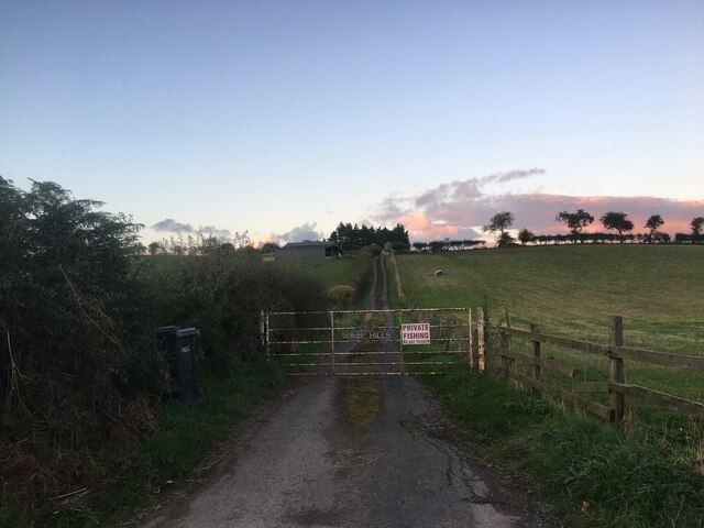
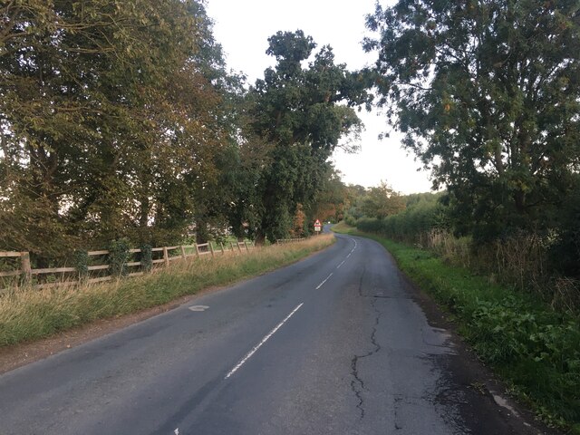
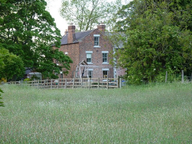
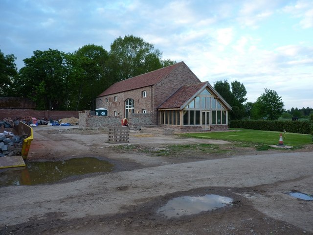
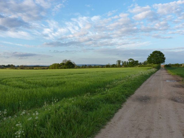
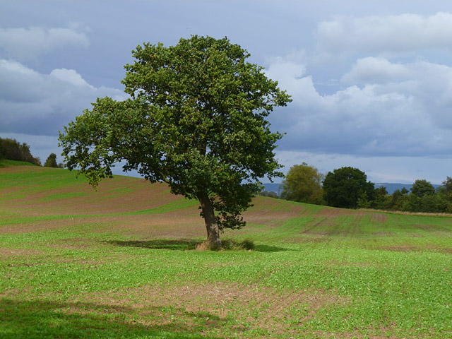
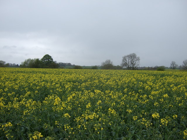
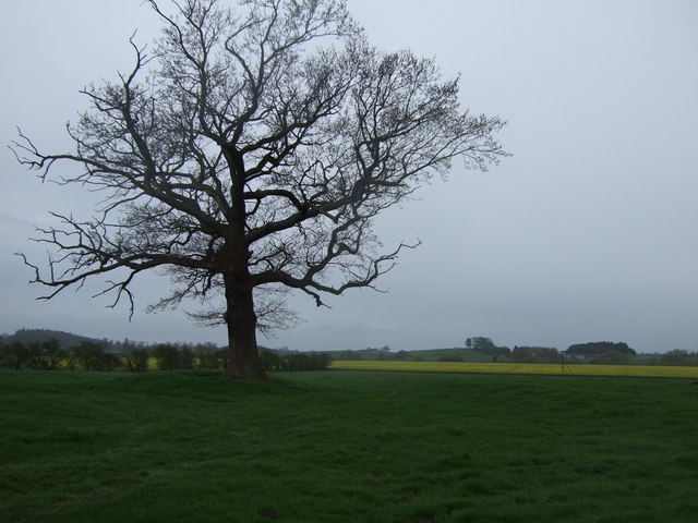
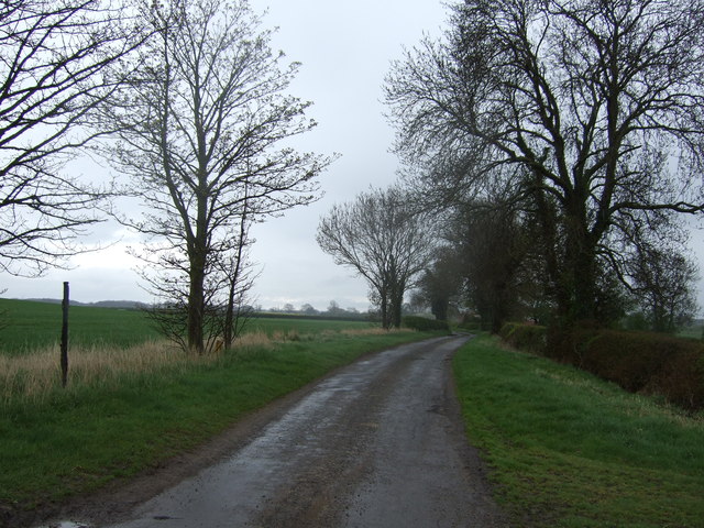
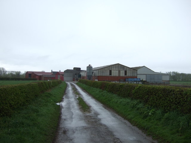
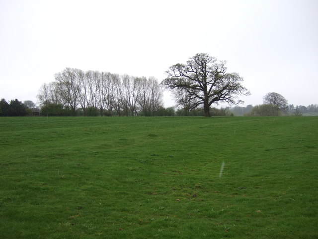
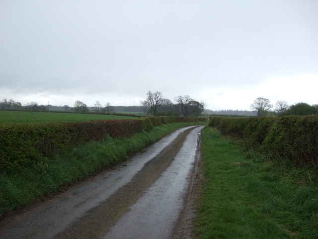
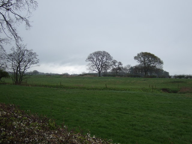
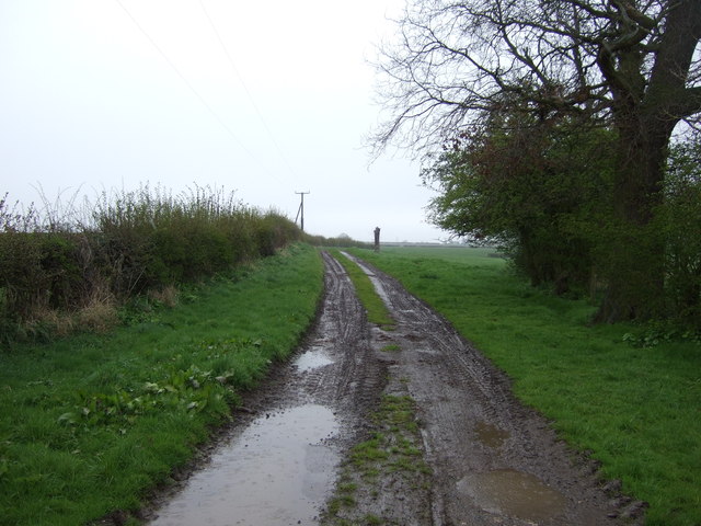
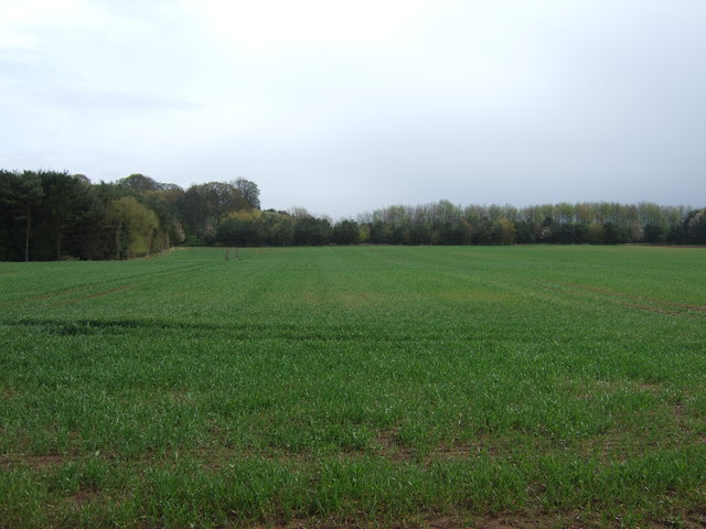
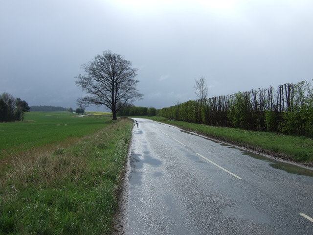
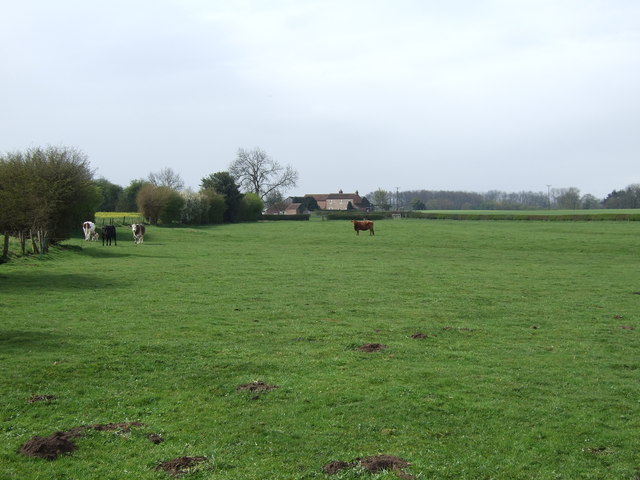
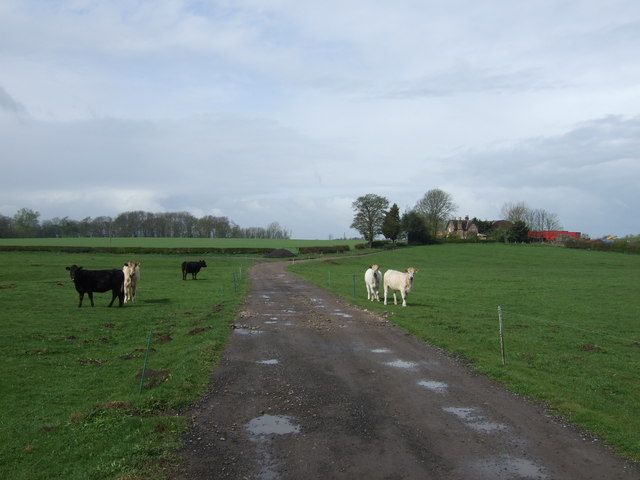
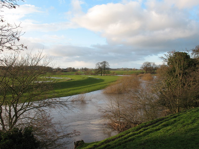
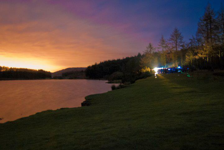
Crakehill Images
Images are sourced within 2km of 54.151112/-1.358443 or Grid Reference SE4273. Thanks to Geograph Open Source API. All images are credited.
Crakehill is located at Grid Ref: SE4273 (Lat: 54.151112, Lng: -1.358443)
Division: North Riding
Administrative County: North Yorkshire
District: Harrogate
Police Authority: North Yorkshire
What 3 Words
///autumn.kilts.saved. Near Boroughbridge, North Yorkshire
Nearby Locations
Related Wikis

Cundall, North Yorkshire
Cundall is a village in the Harrogate district of North Yorkshire, England. It is one of the Thankful Villages that suffered no fatalities during World...

Eldmire with Crakehill
Eldmire with Crakehill is a civil parish in the Hambleton district of North Yorkshire, England. The population of the parish was estimated at 30 in 2013...
Fawdington
Fawdington is a hamlet and civil parish in the Hambleton district of North Yorkshire, England. It is on the River Swale and near the A1(M) motorway, 8...
Cod Beck, North Yorkshire
Cod Beck is a river in North Yorkshire, England. It has a catchment area of 209 km2 (81 sq mi). The river extends for 20 miles (32 km) from above Cod Beck...

Thornton Bridge
Thornton Bridge is a civil parish in North Yorkshire, England, situated between Boroughbridge to the south-west, and Thirsk to the north-east. The parish...

Topcliffe Castle
Topcliffe Castle (also known as Maiden's Bower) is an abandoned castle located near the village of Topcliffe, North Yorkshire, England.The castle was built...
North Yorkshire
North Yorkshire is a ceremonial county in the Yorkshire and the Humber and North East regions of England. It borders County Durham to the north, the North...

Severfield
With multiple sites in the UK, Europe and a joint venture in India, Severfield plc is the market-leading structural steelwork Group in the UK and among...
Nearby Amenities
Located within 500m of 54.151112,-1.358443Have you been to Crakehill?
Leave your review of Crakehill below (or comments, questions and feedback).