Acre Hill
Hill, Mountain in Yorkshire Harrogate
England
Acre Hill
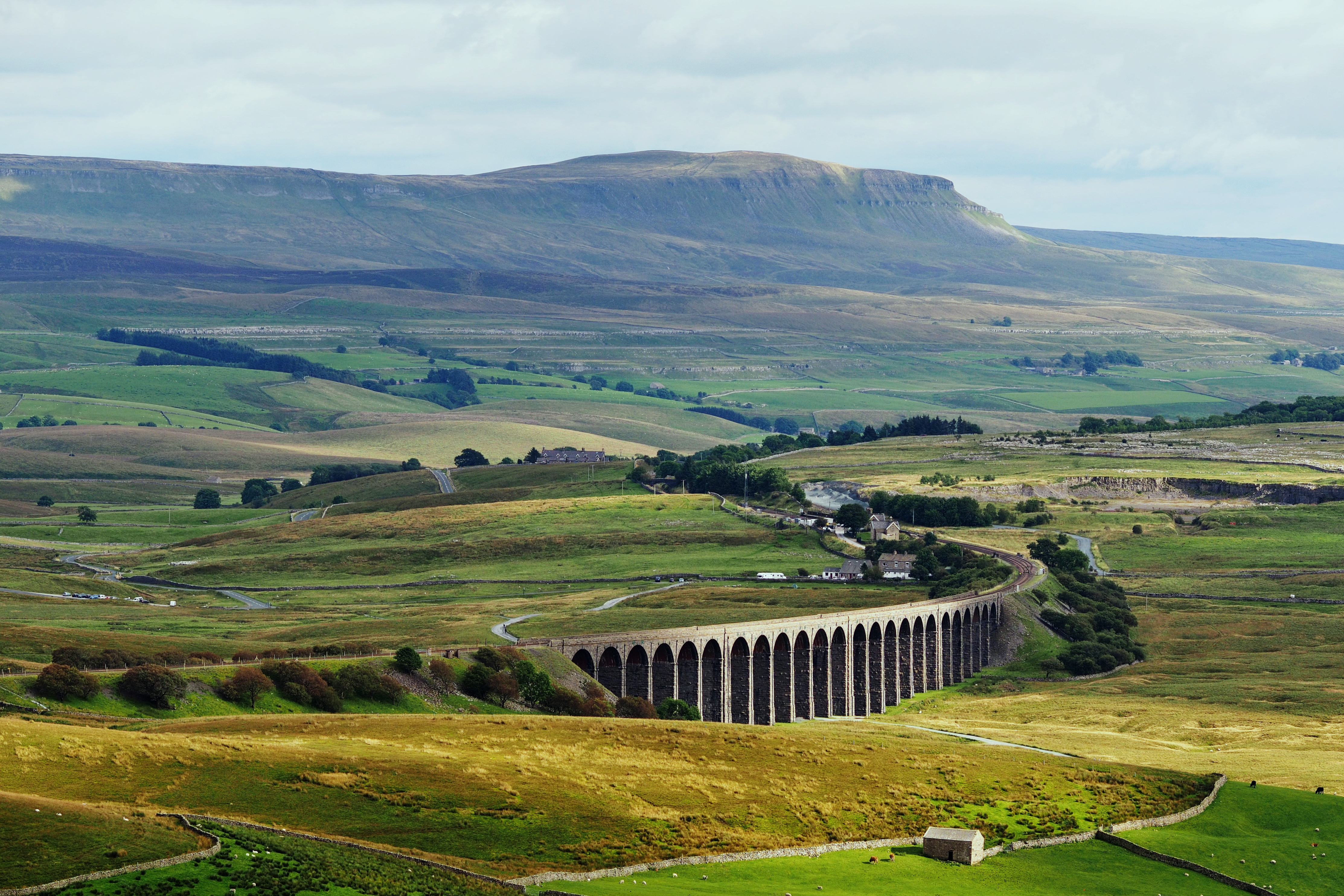
Acre Hill is a prominent hill located in the county of Yorkshire, England. Situated in the picturesque region of the Yorkshire Dales, it is a well-known landmark in the area. Standing at an elevation of approximately 500 meters (1,640 feet), Acre Hill is classified as a hill rather than a mountain due to its height.
The hill is characterized by its gentle slopes and lush greenery, which makes it a popular destination for hikers and nature enthusiasts. It offers breathtaking panoramic views of the surrounding countryside, including the rolling hills and valleys that make up the Yorkshire Dales. On a clear day, it is even possible to catch a glimpse of the distant Pennines to the east.
Acre Hill is home to a diverse range of flora and fauna, with its grassy slopes providing a habitat for various plant species. It also attracts a variety of bird species, making it a favorite spot for birdwatchers. Additionally, the hill is crisscrossed by several walking trails, allowing visitors to explore the area at their own pace.
In terms of accessibility, Acre Hill can be reached via a network of well-maintained footpaths and bridleways. It is located near the village of Grassington, which offers amenities such as parking, cafes, and accommodations for those wishing to explore the hill and its surroundings.
Overall, Acre Hill is a beautiful natural landmark in Yorkshire, offering visitors an opportunity to immerse themselves in the stunning landscapes and tranquility of the Yorkshire Dales.
If you have any feedback on the listing, please let us know in the comments section below.
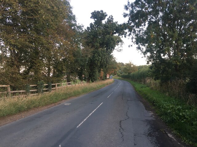
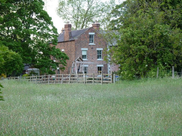
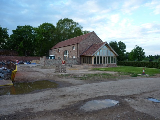
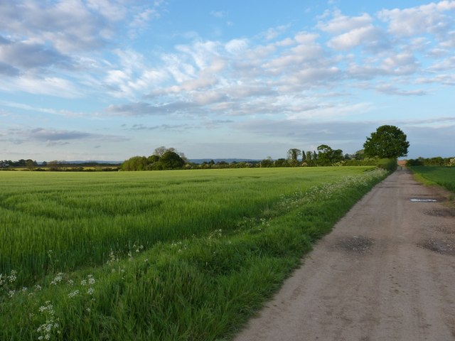
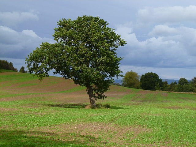
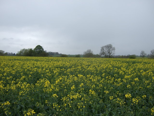
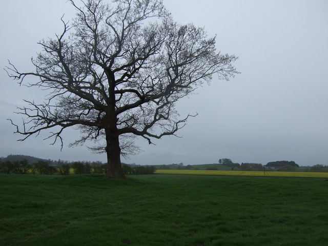
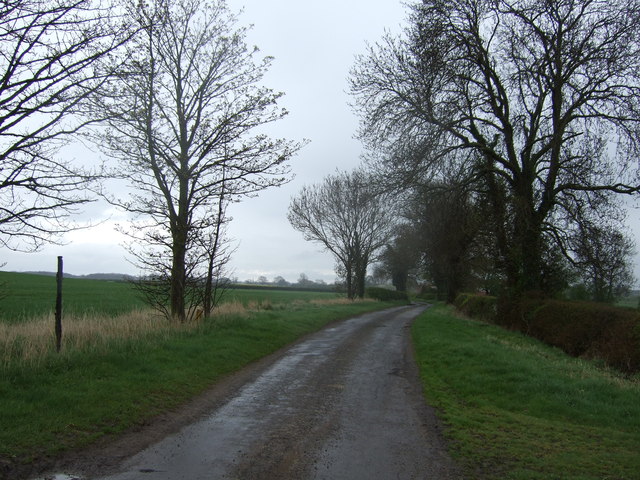
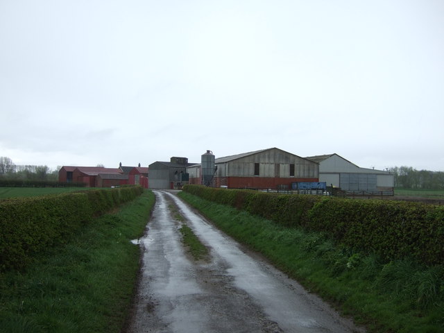
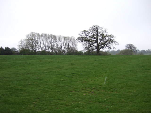
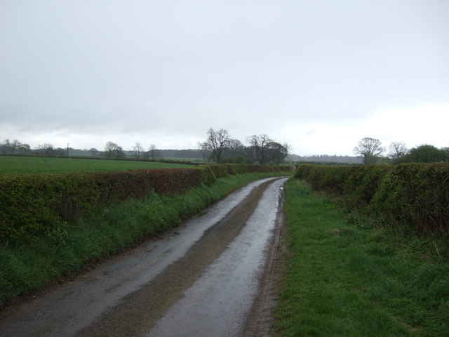
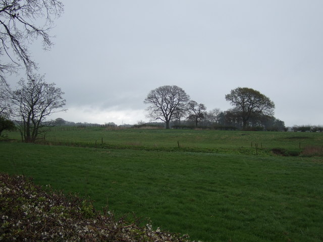
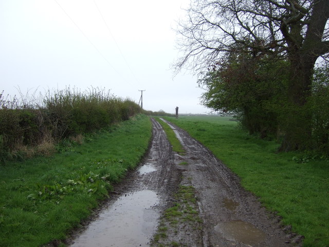
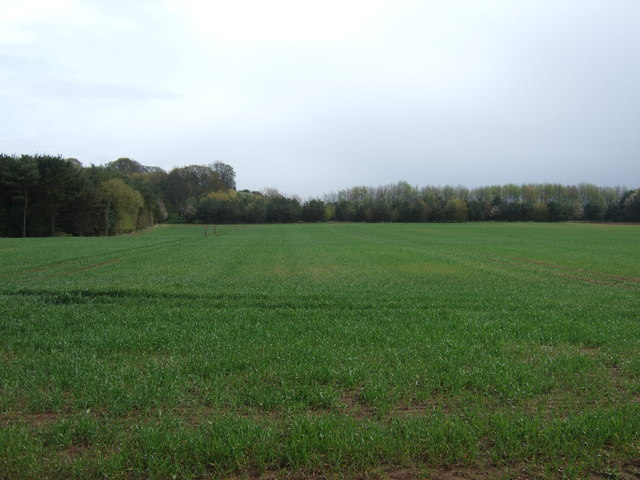
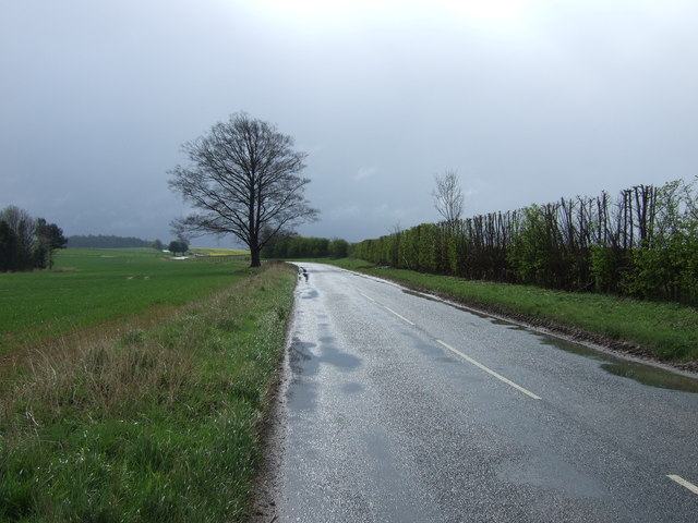
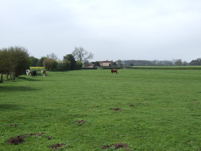
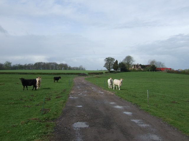
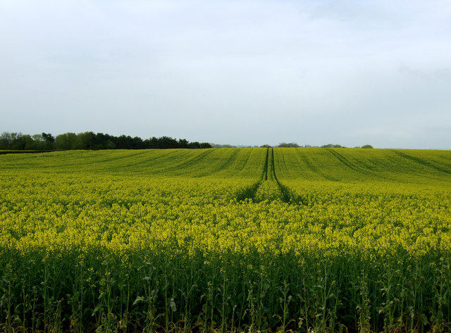
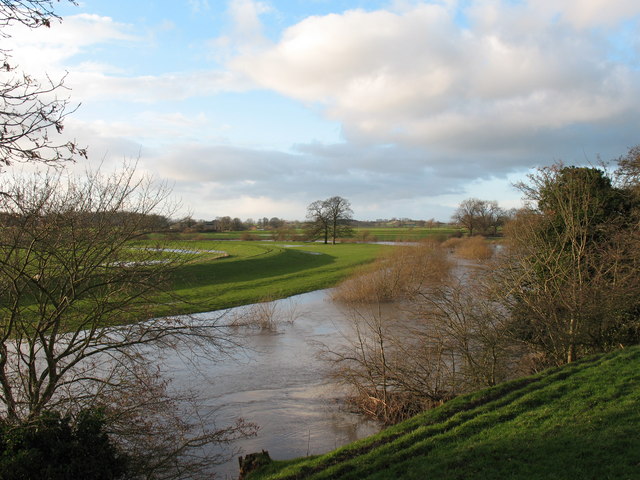
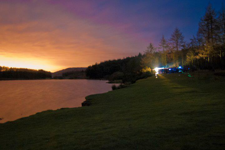
Acre Hill Images
Images are sourced within 2km of 54.151345/-1.3566327 or Grid Reference SE4273. Thanks to Geograph Open Source API. All images are credited.
Acre Hill is located at Grid Ref: SE4273 (Lat: 54.151345, Lng: -1.3566327)
Division: North Riding
Administrative County: North Yorkshire
District: Harrogate
Police Authority: North Yorkshire
What 3 Words
///stung.cats.hippy. Near Boroughbridge, North Yorkshire
Nearby Locations
Related Wikis

Cundall, North Yorkshire
Cundall is a village in the Harrogate district of North Yorkshire, England. It is one of the Thankful Villages that suffered no fatalities during World...

Eldmire with Crakehill
Eldmire with Crakehill is a civil parish in the Hambleton district of North Yorkshire, England. The population of the parish was estimated at 30 in 2013...
Fawdington
Fawdington is a hamlet and civil parish in the Hambleton district of North Yorkshire, England. It is on the River Swale and near the A1(M) motorway, 8...
Cod Beck, North Yorkshire
Cod Beck is a river in North Yorkshire, England. It has a catchment area of 209 km2 (81 sq mi). The river extends for 20 miles (32 km) from above Cod Beck...

Thornton Bridge
Thornton Bridge is a civil parish in North Yorkshire, England, situated between Boroughbridge to the south-west, and Thirsk to the north-east. The parish...
North Yorkshire
North Yorkshire is a ceremonial county in the Yorkshire and the Humber and North East regions of England. It borders County Durham to the north, the North...

Topcliffe Castle
Topcliffe Castle (also known as Maiden's Bower) is an abandoned castle located near the village of Topcliffe, North Yorkshire, England.The castle was built...

Severfield
With multiple sites in the UK, Europe and a joint venture in India, Severfield plc is the market-leading structural steelwork Group in the UK and among...
Nearby Amenities
Located within 500m of 54.151345,-1.3566327Have you been to Acre Hill?
Leave your review of Acre Hill below (or comments, questions and feedback).