Lark Hill

Hill, Mountain in Berkshire Vale of White Horse

England

Lark Hill

Chainhill Road heading to Wantage
Chainhill Road heading to Wantage Credit: Steve Daniels

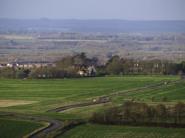
Lark Hill is a small hill located in Berkshire, a county in the South East region of England. Situated near the town of Bracknell, Lark Hill is part of the larger landscape of the Berkshire Downs, a range of low-lying chalk hills.

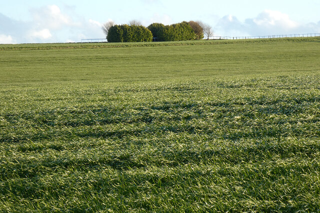
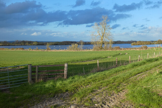
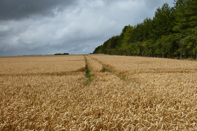
With an elevation of around 150 meters, Lark Hill offers panoramic views of the surrounding countryside. Its gentle slopes and grassy terrain make it an ideal destination for leisurely walks and hikes, attracting locals and visitors alike. The hill is known for its tranquil and scenic atmosphere, providing a peaceful escape from the bustling urban areas nearby.

Lark Hill is also home to a variety of flora and fauna, contributing to its natural beauty. Wildflowers, such as bluebells and primroses, can be found during the spring months, adding a burst of color to the landscape. The hill is also a haven for various bird species, making it a popular spot for birdwatching enthusiasts.

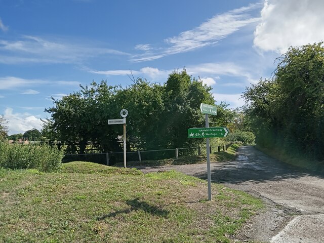
The hill is easily accessible by foot or bike, with several footpaths and trails leading to its summit. Additionally, there is a small car park nearby for those who prefer to drive. Visitors can enjoy a picnic on the hillside or simply relax and take in the stunning views.

Overall, Lark Hill in Berkshire offers a peaceful retreat for nature lovers and outdoor enthusiasts, providing a serene escape from the surrounding urban areas.

If you have any feedback on the listing, please let us know in the comments section below.
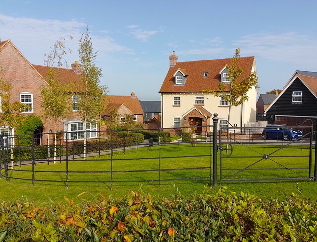
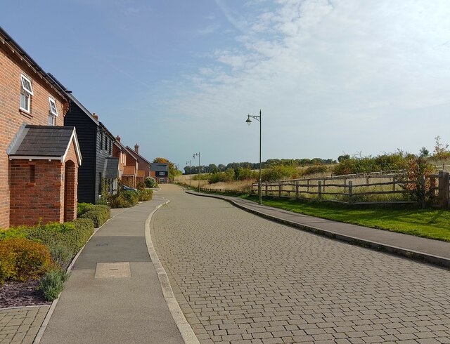
Lark Hill Images

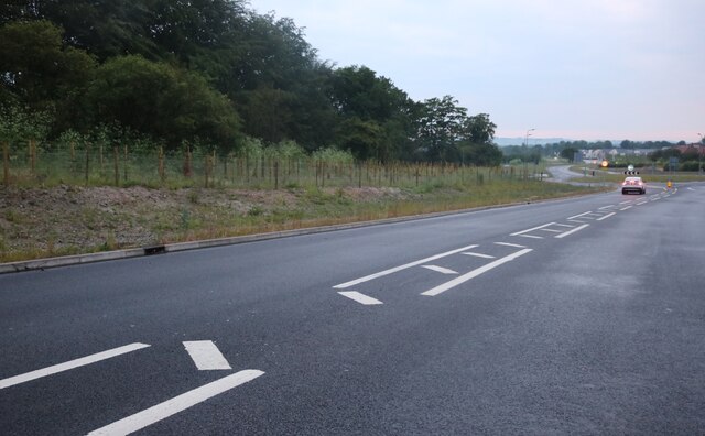
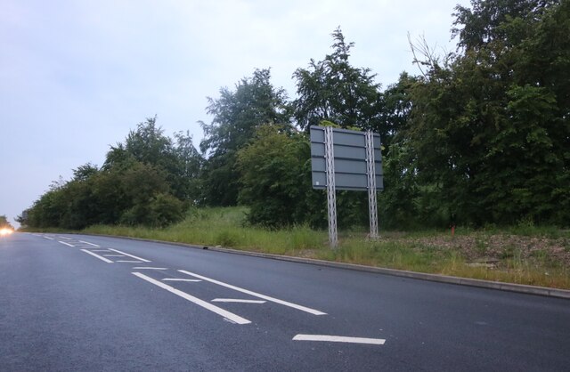
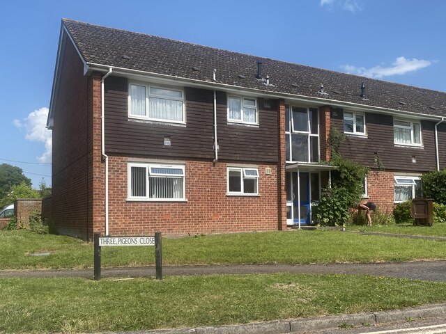
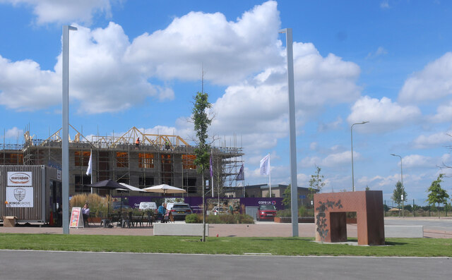
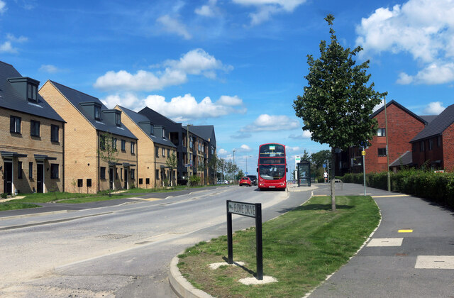
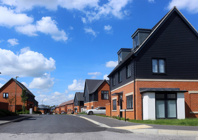
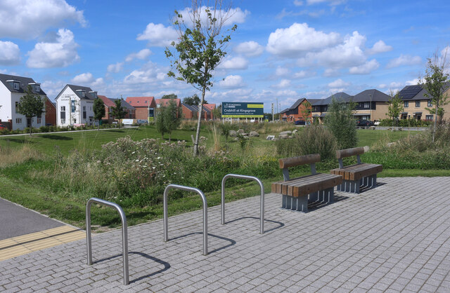
Images are sourced within 2km of 51.586105/-1.4079937 or Grid Reference SU4187. Thanks to Geograph Open Source API. All images are credited.

Chainhill Road heading to Wantage
The road to West Lockinge
Walking the dog at East Lockinge
Farmland, Lockinge
Farmland, Lockinge
Farmland, Lockinge Looking like a silage crop on the hillside rising from the byway to Wantage.
Farmland, Lockinge
Looking like a silage crop on the hillside rising from the byway to Wantage.
Farmland, Grove A similar view to <a title="https://www.geograph.org.uk/photo/2678766" href="https://www.geograph.org.uk/photo/2678766">Link</a> with a large array of solar panels in what was an arable field.
Farmland, Grove
A similar view to Link with a large array of solar panels in what was an arable field.
Ormond Road, Wantage
The Lord Nelson, Wantage Here is my previous view <a title="https://www.geograph.org.uk/photo/6108042" href="https://www.geograph.org.uk/photo/6108042">Link</a>
The Lord Nelson, Wantage
Here is my previous view Link
Reading Road, Ardington
Three Pigeons Close
Three Pigeons Close
Farmland, Lockinge Wheat alongside the southern edge of Arnhill Plantation.
Farmland, Lockinge
Wheat alongside the southern edge of Arnhill Plantation.
Café at the end of the road A small cafe has opened on the edge of a new housing development. New buildings are still going up around it.
Café at the end of the road
A small cafe has opened on the edge of a new housing development. New buildings are still going up around it.
Bus in Elder Way A new housing development on the east side of Wantage.
Bus in Elder Way
A new housing development on the east side of Wantage.
Cowslip Road One of a half a dozen nearby roads with flower names.
Cowslip Road
One of a half a dozen nearby roads with flower names.
Seats and Cycle Racks An open space in a new housing development. The grassy area is designed to hold surplus storm run off at times of heavy rain.
Seats and Cycle Racks
An open space in a new housing development. The grassy area is designed to hold surplus storm run off at times of heavy rain.
Humphries Green, Wantage A very pretty new build estate at the edge of Wantage. The houses are in different styles to create a village feel.
Humphries Green, Wantage
A very pretty new build estate at the edge of Wantage. The houses are in different styles to create a village feel.
Humphries Green, Wantage A very pretty new build estate at the edge of Wantage. The houses are in different styles to create a village feel.
Humphries Green, Wantage
A very pretty new build estate at the edge of Wantage. The houses are in different styles to create a village feel.
Show me another place!

Lark Hill is located at Grid Ref: SU4187 (Lat: 51.586105, Lng: -1.4079937)

Administrative County: Oxfordshire

District: Vale of White Horse

Police Authority: Thames Valley

What 3 Words

///galloping.backs.marketing. Near Wantage, Oxfordshire

Nearby Locations

Round Hill Lark Hill

Related Wikis

Chain Hill

Chain Hill is one of the hills of the Berkshire Downs, located in the civil parish of Wantage in the English county of Oxfordshire. In 1974 it was transferred...

West Lockinge

West Lockinge is a village in and former civil parish, now in the parish of Lockinge, in the Vale of White Horse district, in the county of Oxfordshire...

St Mary's School, Wantage

St Mary's School was a private day and boarding girls' school located in Wantage, Oxfordshire, England. In 2007 it merged with Heathfield School to become...

Statue of Alfred the Great, Wantage

The statue of Alfred the Great, in the Wantage market place, was sculpted by Count Gleichen, a relative of Queen Victoria's, and unveiled on 14 July 1877...

Nearby Amenities

Located within 500m of 51.586105,-1.4079937
Mini Roundabout
Direction: clockwise
Lat/Long: 51.5902694/-1.4104677
Mini Roundabout
Direction: clockwise
Lat/Long: 51.5903461/-1.4102793
Power: pole
Source: Bing
Lat/Long: 51.5870263/-1.4073819
Power: pole
Source: Bing
Lat/Long: 51.5890262/-1.4039943
Power: pole
Source: Bing
Lat/Long: 51.5874263/-1.4048445
Power: pole
Source: Bing
Lat/Long: 51.5890044/-1.4029589
Power: pole
Source: Bing
Lat/Long: 51.5856897/-1.4112983
Power: pole
Source: Bing
Lat/Long: 51.5868963/-1.4083181
Power: pole
Source: Bing
Lat/Long: 51.5876379/-1.4035866
Power: pole
Source: Bing
Lat/Long: 51.5878401/-1.4023082
Power: pole
Source: Bing
Lat/Long: 51.5872229/-1.4061079
Crossing
Crossing: unmarked
Crossing Island: no
Kerb: lowered
Sloped Curb: yes
Lat/Long: 51.5905126/-1.4093692
Post Box
Lat/Long: 51.5871628/-1.4136779
Crossing
Crossing Island: yes
Kerb: lowered
Sloped Curb: yes
Source: Bing
Lat/Long: 51.5901866/-1.4104185
Crossing
Crossing: unmarked
Crossing Island: yes
Kerb: lowered
Sloped Curb: yes
Source: Bing
Tactile Paving: yes
Lat/Long: 51.5903526/-1.4101475
Barrier: cycle_barrier
Lat/Long: 51.5893801/-1.4126299
Communication Mobile Phone: yes
Man Made: mast
Tower Type: communication
Lat/Long: 51.583225/-1.4088851
The data included in this document is from www.openstreetmap.org. The data is made available under ODbL.

Have you been to Lark Hill?

Leave your review of Lark Hill below (or comments, questions and feedback).