Bowercinder Hill

Hill, Mountain in Derbyshire

England

Bowercinder Hill

A6135 Moor Valley, at Moor Valley Close
A6135 Moor Valley, at Moor Valley Close Credit: Colin Pyle

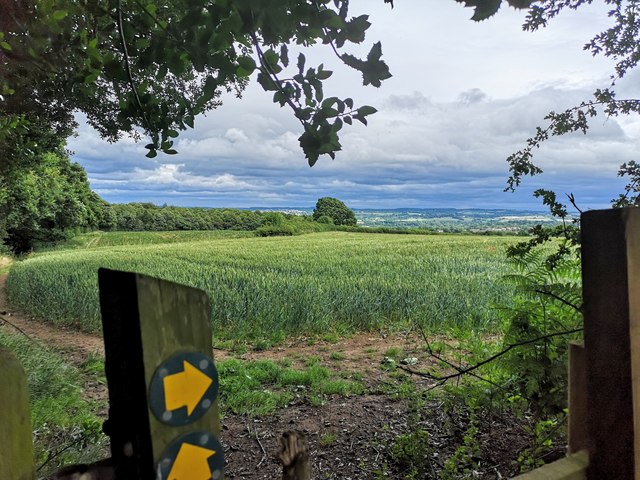
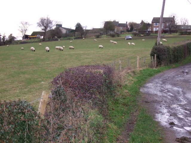
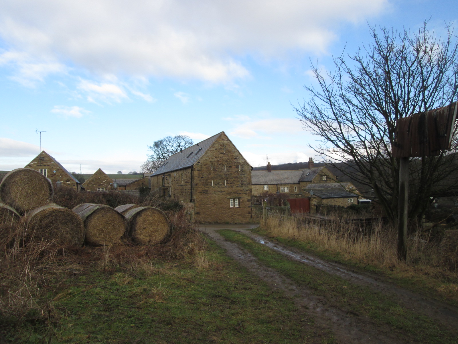
Bowercinder Hill is a prominent natural feature located in Derbyshire, England. It is classified as a hill rather than a mountain, with an elevation of approximately 347 meters (1,138 feet). Situated in the southern part of the Peak District National Park, Bowercinder Hill offers breathtaking panoramic views of the surrounding countryside.

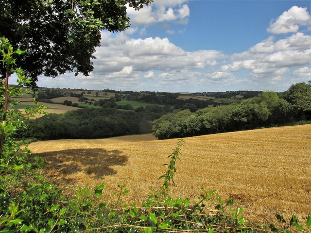
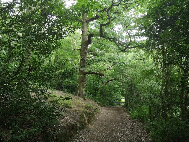
The hill is characterized by its rolling green slopes, which are covered with grasses, heather, and scattered patches of woodland. It serves as a popular destination for hikers, nature enthusiasts, and photographers due to its accessibility and stunning vistas.

Bowercinder Hill is easily reachable by foot, with various footpaths and trails leading to its summit. The ascent can be challenging at times, but the reward is well worth the effort. At the top, visitors are treated to a captivating landscape that stretches for miles, encompassing picturesque valleys, quaint villages, and the distant peaks of the Peak District.

The hill also boasts a rich history, with evidence of human activity dating back to prehistoric times. Archaeological remains, such as Bronze Age burial mounds, have been discovered in the vicinity, highlighting the area's significance as a cultural heritage site.

Overall, Bowercinder Hill offers a unique blend of natural beauty, recreational opportunities, and historical value. Whether one seeks a peaceful stroll or an invigorating hike, this Derbyshire landmark is sure to leave a lasting impression on all who venture to its summit.

If you have any feedback on the listing, please let us know in the comments section below.

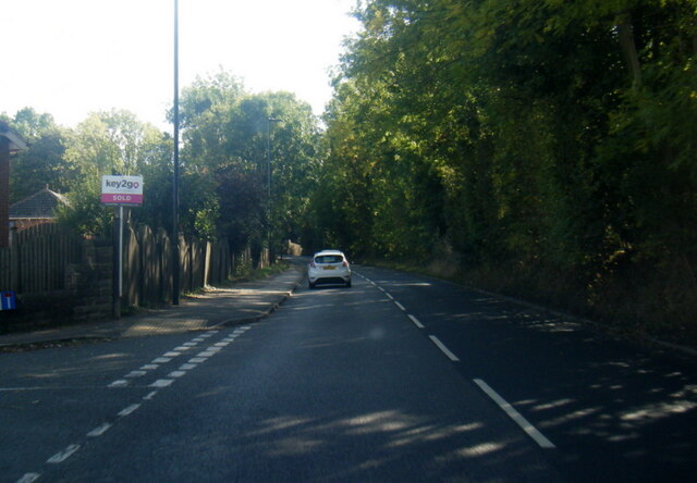
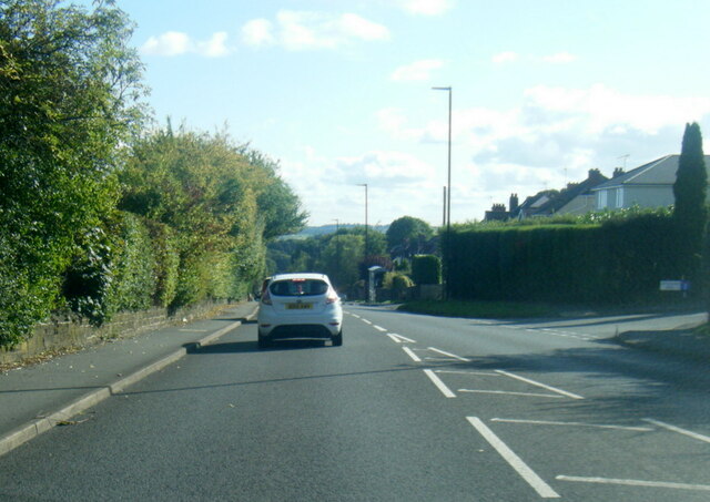
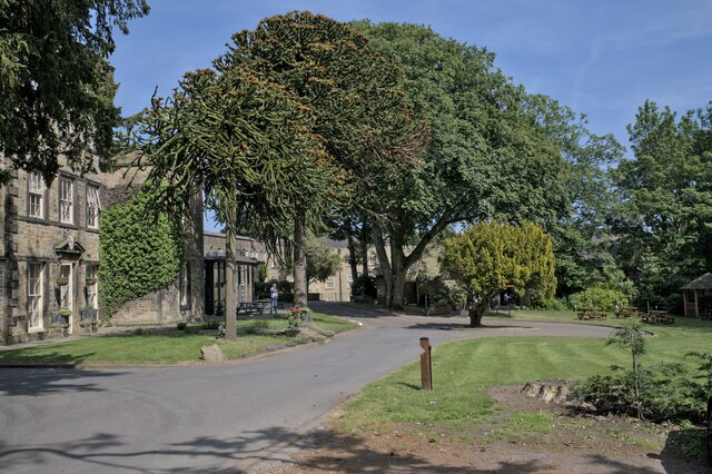
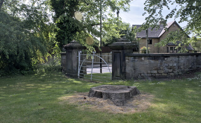
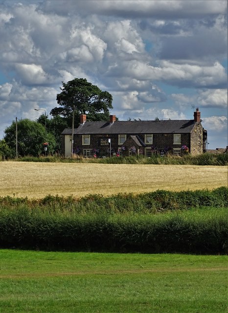
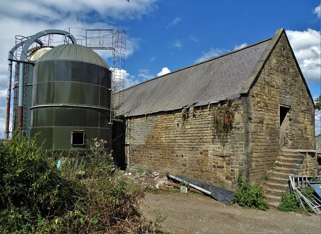
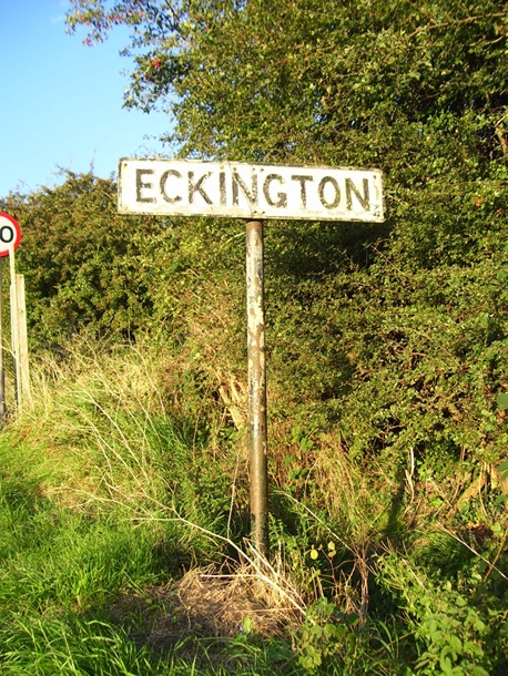
Bowercinder Hill Images

Images are sourced within 2km of 53.319541/-1.3842925 or Grid Reference SK4180. Thanks to Geograph Open Source API. All images are credited.

A6135 Moor Valley, at Moor Valley Close
A6135 at Owlthorpe Rise
Mosborough Hall Hotel A 17th century house, now a hotel.  There is another building nearby called Mosborough Hall, confusion is easy.  This one is the hotel.

This is a grade II listed building - see <span class="nowrap"><a title="https://historicengland.org.uk/listing/the-list/list-entry/1255139?section=official-list-entry" rel="nofollow ugc noopener" href="https://historicengland.org.uk/listing/the-list/list-entry/1255139?section=official-list-entry">Link</a><img style="margin-left:2px;" alt="External link" title="External link - shift click to open in new window" src="https://s1.geograph.org.uk/img/external.png" width="10" height="10"/></span>.  The hotel's own web site traces the history back to the 12th century, but not in this building. - <span class="nowrap"><a title="https://www.mosboroughhall.co.uk/about-us/our-history" rel="nofollow ugc noopener" href="https://www.mosboroughhall.co.uk/about-us/our-history">Link</a><img style="margin-left:2px;" alt="External link" title="External link - shift click to open in new window" src="https://s1.geograph.org.uk/img/external.png" width="10" height="10"/></span>
Mosborough Hall Hotel
A 17th century house, now a hotel. There is another building nearby called Mosborough Hall, confusion is easy. This one is the hotel. This is a grade II listed building - see LinkExternal link. The hotel's own web site traces the history back to the 12th century, but not in this building. - LinkExternal link
The South Frontage The south frontage of Mosborough Hall Hotel, as described in the Historic England listing.  This is a grade II listed building - see <span class="nowrap"><a title="https://historicengland.org.uk/listing/the-list/list-entry/1255139?section=official-list-entry" rel="nofollow ugc noopener" href="https://historicengland.org.uk/listing/the-list/list-entry/1255139?section=official-list-entry">Link</a><img style="margin-left:2px;" alt="External link" title="External link - shift click to open in new window" src="https://s1.geograph.org.uk/img/external.png" width="10" height="10"/></span>.  

The hotel's own web site traces the history back to the 12th century, but not in this building. - <span class="nowrap"><a title="https://www.mosboroughhall.co.uk/about-us/our-history" rel="nofollow ugc noopener" href="https://www.mosboroughhall.co.uk/about-us/our-history">Link</a><img style="margin-left:2px;" alt="External link" title="External link - shift click to open in new window" src="https://s1.geograph.org.uk/img/external.png" width="10" height="10"/></span>
The South Frontage
The south frontage of Mosborough Hall Hotel, as described in the Historic England listing. This is a grade II listed building - see LinkExternal link. The hotel's own web site traces the history back to the 12th century, but not in this building. - LinkExternal link
The crest over the door This is the heraldic device above the french windows in <a href="https://www.geograph.org.uk/photo/7503378">SK4280 : The South Frontage</a>, at Mosborough Hall Hotel.  I have been unable to identify the attribution of this badge.
The crest over the door
This is the heraldic device above the french windows in SK4280 : The South Frontage, at Mosborough Hall Hotel. I have been unable to identify the attribution of this badge.
Mosborough Hall Hotel This is a grade II listed building - see <span class="nowrap"><a title="https://historicengland.org.uk/listing/the-list/list-entry/1255139?section=official-list-entry" rel="nofollow ugc noopener" href="https://historicengland.org.uk/listing/the-list/list-entry/1255139?section=official-list-entry">Link</a><img style="margin-left:2px;" alt="External link" title="External link - shift click to open in new window" src="https://s1.geograph.org.uk/img/external.png" width="10" height="10"/></span>.
Mosborough Hall Hotel
This is a grade II listed building - see LinkExternal link.
Entrance gateway No longer in use, this gateway is grade II listed in its own right - see <span class="nowrap"><a title="https://historicengland.org.uk/listing/the-list/list-entry/1255082" rel="nofollow ugc noopener" href="https://historicengland.org.uk/listing/the-list/list-entry/1255082">Link</a><img style="margin-left:2px;" alt="External link" title="External link - shift click to open in new window" src="https://s1.geograph.org.uk/img/external.png" width="10" height="10"/></span> .
Entrance gateway
No longer in use, this gateway is grade II listed in its own right - see LinkExternal link .
View to "The Fox and Hounds", Marsh Lane
At Bramley Farm, Bramley near Marsh Lane
Old Village Signpost by the B6052, Chesterfield Road, Eckington village No finial - 1 arm; by the B6052, in parish of Eckington (North East Derbyshire District), Chesterfield Road, South West approach to village.

To be surveyed

Milestone Society National ID: DE_SK4178
Old Village Signpost by the B6052, Chesterfield Road, Eckington village
No finial - 1 arm; by the B6052, in parish of Eckington (North East Derbyshire District), Chesterfield Road, South West approach to village. To be surveyed Milestone Society National ID: DE_SK4178
The Moss valley. Lovely walking area.
The Moss valley.
Lovely walking area.
Sheffield Country Walk Woodland path approaching Eckington on the Sheffield Country Walk
Sheffield Country Walk
Woodland path approaching Eckington on the Sheffield Country Walk
Cattle in field at Bramley
View east from Bramley
Alma Inn, Mosborough, Nr Sheffield
Mosborough Methodist Church near Sheffield.
High Street, Mosborough, Nr Sheffield.
Ridgeway Arms, Mosborough Moor, Nr Sheffield.
Show me another place!

Bowercinder Hill is located at Grid Ref: SK4180 (Lat: 53.319541, Lng: -1.3842925)

Unitary Authority: Sheffield

Police Authority: South Yorkshire

What 3 Words

///play.silver.studio. Near Beighton, South Yorkshire

Related Wikis

The Moss

The Moss is a brook in North East Derbyshire, England. When Rother Valley Country Park was built in the 1980s, constructors used water from The Moss to...

Plumbley

Plumbley is a hamlet in the City of Sheffield borough, within the county of South Yorkshire in England. == Location == Plumbley consists of a small scattering...

The Old Vicarage, Derbyshire

The Old Vicarage is a restaurant located in Ridgeway, near Sheffield. The restaurant held one star in the Michelin Guide from 1998 to 2015. The head chef...

Birley Hay

Birley Hay is a hamlet in North East Derbyshire in the county of Derbyshire in England. == Location == Birley Hay lies just south of the South Yorkshire...

Marsh Lane, Derbyshire

Marsh Lane village is located in the civil parish of Eckington in North-East Derbyshire, England. It is 6 miles north east of Chesterfield. In 2011 the...

Eckington School

Eckington School is a coeducational secondary school and sixth form located in Eckington, Derbyshire in England, next to the B6056 road. It has around...

Litfield Farm

Litfield Farm is a farm in Ridgeway, Derbyshire. The farm was once regarded as being located in a hamlet east of Ridgeway known as Litfield, but is now...

Mosborough

Mosborough is a village in the City of Sheffield in South Yorkshire, England. Historically part of Derbyshire, the village was named after The Moss river...

Nearby Amenities

Located within 500m of 53.319541,-1.3842925
Barrier: stile
Lat/Long: 53.3204902/-1.3871702
Barrier: stile
Steps: 1
Stile: stepover
Lat/Long: 53.3194235/-1.3911698
Barrier: stile
Ele: 62.0000000
Steps: 1
Stile: stepover
Lat/Long: 53.3182159/-1.3857367
Ele: 65.0000000
Lat/Long: 53.3185366/-1.3873287
Ele: 73.0000000
Lat/Long: 53.3183892/-1.3847808
Barrier: stile
Steps: 1
Stile: stepover
Lat/Long: 53.3183909/-1.384747
Barrier: stile
Ele: 78.0000000
Steps: 1
Stile: stepover
Lat/Long: 53.3187475/-1.3819087
Barrier: stile
Ele: 72.0000000
Steps: 1
Stile: stepover
Lat/Long: 53.3188143/-1.3801187
Barrier: stile
Lat/Long: 53.3179679/-1.3827805
Ford: yes
Lat/Long: 53.3177321/-1.3849265
Barrier: entrance
Lat/Long: 53.3205461/-1.387328
Noexit: yes
Lat/Long: 53.3158121/-1.3851688
The data included in this document is from www.openstreetmap.org. The data is made available under ODbL.

Have you been to Bowercinder Hill?

Leave your review of Bowercinder Hill below (or comments, questions and feedback).