Ambion Hill
Hill, Mountain in Leicestershire Hinckley and Bosworth
England
Ambion Hill
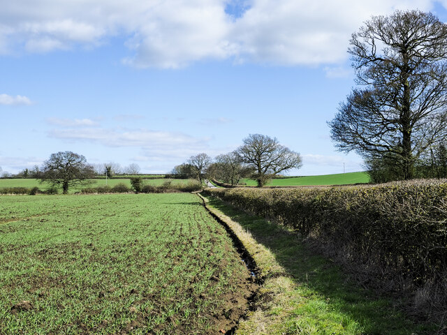
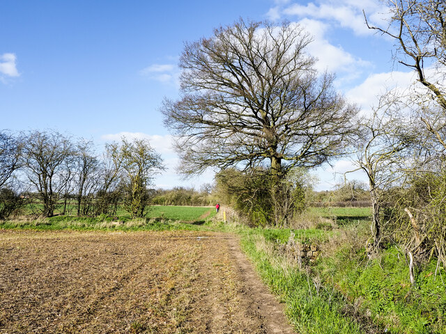
Ambion Hill is a small hill located in Leicestershire, England. Situated near the village of Shenton, it is part of the historic Bosworth Battlefield site. The hill is known for its historical significance, as it is believed to have been the vantage point where King Richard III watched the Battle of Bosworth in 1485.
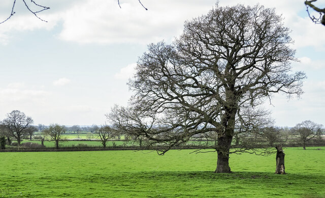
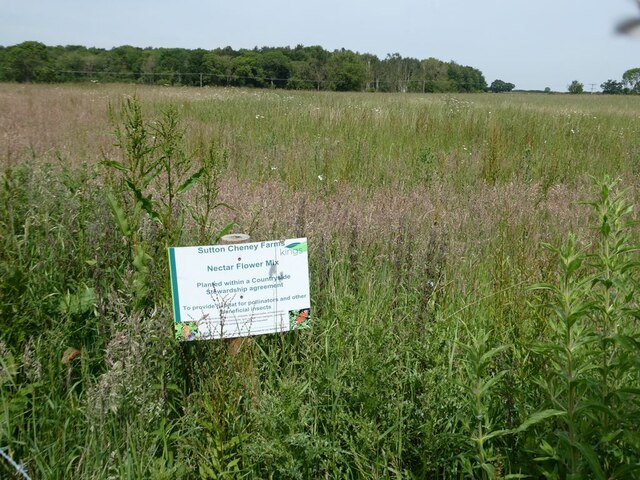
At an elevation of around 150 meters, Ambion Hill offers panoramic views of the surrounding countryside. It is covered in lush green grass and scattered with trees, creating a serene and picturesque landscape. The hill is accessible via a footpath, making it a popular spot for walkers and history enthusiasts alike.
The site is marked with an information board that provides details about the battle and the role of Ambion Hill. Additionally, there is a memorial stone commemorating the battle and the soldiers who lost their lives. The stone serves as a reminder of the historical significance and the impact that the Battle of Bosworth had on the course of English history.
Ambion Hill is also home to the Bosworth Battlefield Heritage Centre, which offers visitors the opportunity to learn more about the battle through interactive exhibits and displays. The center provides a comprehensive overview of the events leading up to the battle, the key figures involved, and the aftermath. It also includes a visitor center with a cafe and gift shop.
Overall, Ambion Hill is a place of historical importance, offering visitors a chance to immerse themselves in the events of the Battle of Bosworth and appreciate the natural beauty of the Leicestershire countryside.
If you have any feedback on the listing, please let us know in the comments section below.
Ambion Hill Images
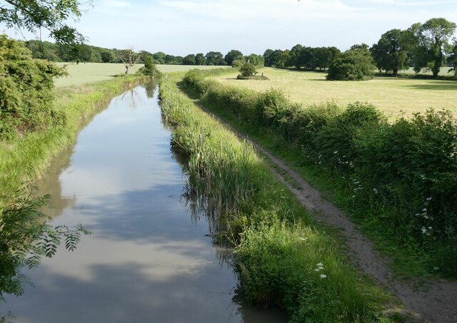
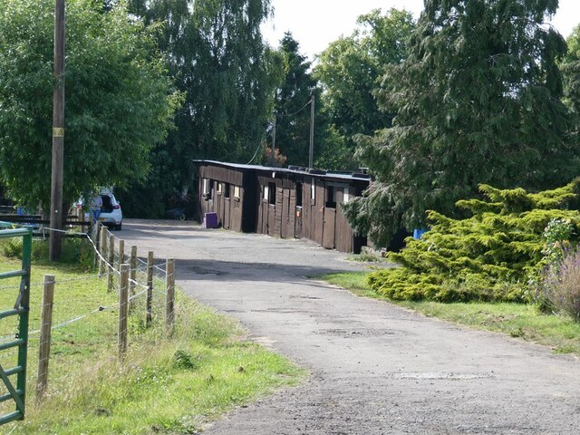
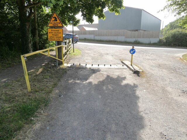
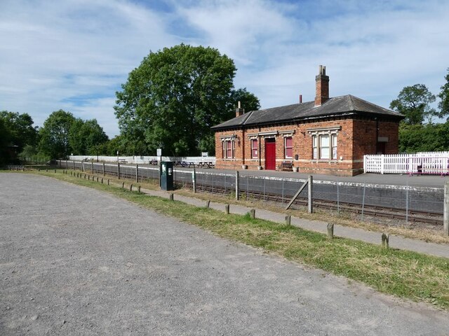
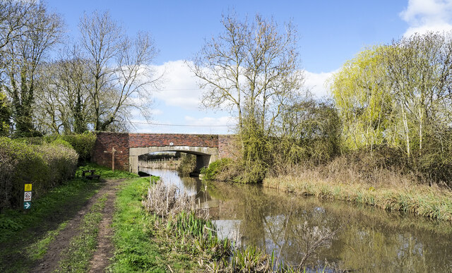
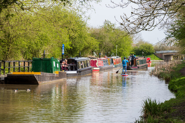
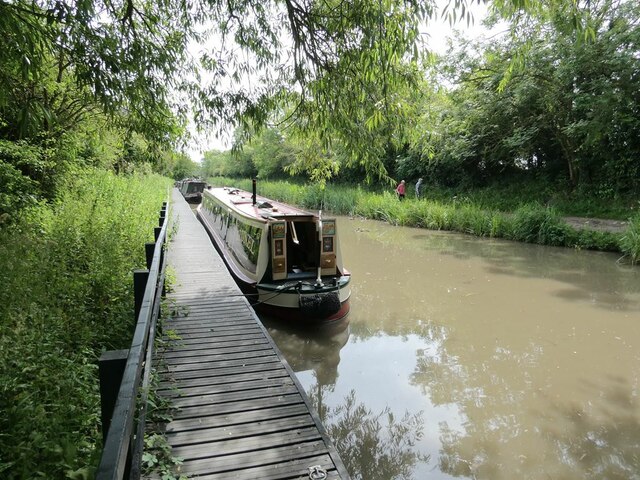
Images are sourced within 2km of 52.598009/-1.4088331 or Grid Reference SK4000. Thanks to Geograph Open Source API. All images are credited.
Ambion Hill is located at Grid Ref: SK4000 (Lat: 52.598009, Lng: -1.4088331)
Administrative County: Leicestershire
District: Hinckley and Bosworth
Police Authority: Leicestershire
What 3 Words
///modern.mirroring.prouder. Near Market Bosworth, Leicestershire
Nearby Locations
Related Wikis
Ambion Hill
Ambion Hill is a hill in west Leicestershire, England, south of the town of Market Bosworth and lying south of the Sutton Cheney to Shenton road and north...
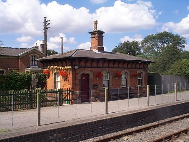
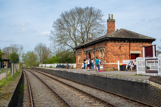
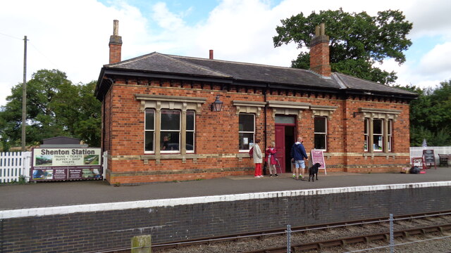
Shenton railway station
Shenton railway station is located about 0.5 miles from the village of Shenton, Leicestershire, England. It currently serves as a glassblowing studio Station...

Sparkenhoe
Sparkenhoe was a hundred of Leicestershire, England in the south-west of the county, covering Market Bosworth and Hinckley, broadly corresponding to the...

Bosworth (UK Parliament constituency)
Bosworth ( BOZ-wərth) is a constituency represented in the House of Commons of the UK Parliament since 2019 by Luke Evans, a Conservative.Further to the...
Nearby Amenities
Located within 500m of 52.598009,-1.4088331Have you been to Ambion Hill?
Leave your review of Ambion Hill below (or comments, questions and feedback).