Hill of Houlland

Hill, Mountain in Shetland

Scotland

Hill of Houlland

Scalloway Piers Taken at the viewing area beside the Shetland Bus Memorial, Scalloway, Shetland, I am looking southwest across Scalloway Harbour to the piers and the marina beyond. The islets and settlements of Trondra can be seen on the other side of the Voe.
Scalloway Piers Credit: Carroll Pierce

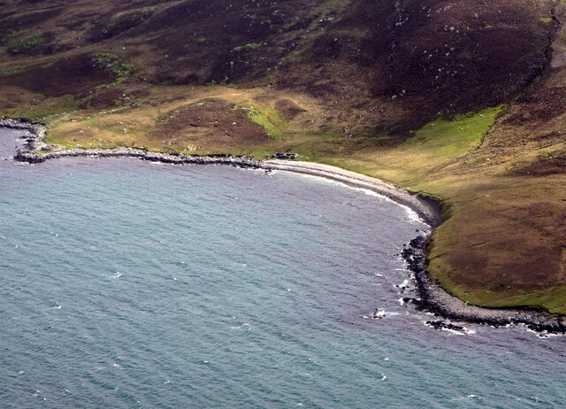
The Hill of Houlland is a prominent landform located in the Shetland Islands, an archipelago in Scotland. Situated on the mainland, this hill is part of the larger Houlland landscape, which encompasses rugged terrain, cliffs, and stunning coastal views. Rising to an elevation of approximately 209 meters (686 feet), the Hill of Houlland is classified as a hill rather than a mountain.

The hill is characterized by its steep slopes and rocky outcrops, which are composed mainly of granite and gneiss. Its exposed position makes it susceptible to strong winds, and the vegetation that clings to its slopes consists mainly of grasses and heather, adding to the picturesque scenery.

The Hill of Houlland offers breathtaking panoramic vistas of the surrounding landscape, including the North Sea, nearby cliffs, and neighboring islands. On clear days, visitors can spot the distinctive outline of the nearby island of Vaila, as well as the distant Fair Isle to the south.

Outdoor enthusiasts are drawn to the Hill of Houlland for its excellent hiking opportunities. A well-defined footpath leads to the summit, providing a challenging but rewarding climb. The hill is also a favorite spot for birdwatchers, as it attracts various seabirds such as fulmars, kittiwakes, and puffins.

Overall, the Hill of Houlland is a notable feature of the Shetland Islands, offering visitors a chance to immerse themselves in the rugged beauty and natural splendor of this unique Scottish landscape.

If you have any feedback on the listing, please let us know in the comments section below.

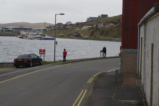
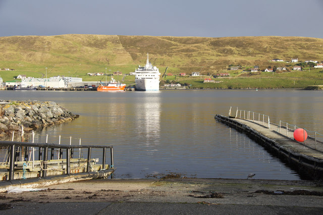
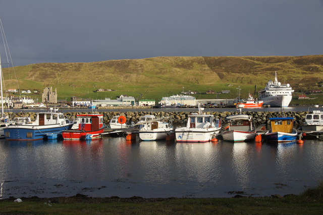
Hill of Houlland Images

Images are sourced within 2km of 60.149012/-1.2790111 or Grid Reference HU4040. Thanks to Geograph Open Source API. All images are credited.

Scalloway Piers Taken at the viewing area beside the Shetland Bus Memorial, Scalloway, Shetland, I am looking southwest across Scalloway Harbour to the piers and the marina beyond. The islets and settlements of Trondra can be seen on the other side of the Voe.
Scalloway Piers
Taken at the viewing area beside the Shetland Bus Memorial, Scalloway, Shetland, I am looking southwest across Scalloway Harbour to the piers and the marina beyond. The islets and settlements of Trondra can be seen on the other side of the Voe.
Scalloway Castle Taken on the viewing point beside the Shetland Bus Memorial, Scalloway, Shetland, I am looking across the eastern side of the harbour to Scalloway Castle which at the time of my visit was undergoing repairs.
Scalloway Castle
Taken on the viewing point beside the Shetland Bus Memorial, Scalloway, Shetland, I am looking across the eastern side of the harbour to Scalloway Castle which at the time of my visit was undergoing repairs.
Shetland Bus Memorial This is the memorial to what became known as the Shetland Bus, a special operation which ran between Shetland and occupied Norway from 1941 until the surrender of Nazi Germany in 1945. The purpose was to transport arms and other supplies to the Norwegian resistance and fishing boats were used as cover with crossings being made under cover of darkness however stormy the weather. The nearby Scalloway Museum has an excellent exhibit detailing the operations and the people involved.
Shetland Bus Memorial
This is the memorial to what became known as the Shetland Bus, a special operation which ran between Shetland and occupied Norway from 1941 until the surrender of Nazi Germany in 1945. The purpose was to transport arms and other supplies to the Norwegian resistance and fishing boats were used as cover with crossings being made under cover of darkness however stormy the weather. The nearby Scalloway Museum has an excellent exhibit detailing the operations and the people involved.
East Voe, Scalloway This was taken from our coach as we were leaving Scalloway, Shetland. I was charmed by the Scandinavian appearance of these houses in East Voe.
East Voe, Scalloway
This was taken from our coach as we were leaving Scalloway, Shetland. I was charmed by the Scandinavian appearance of these houses in East Voe.
House on the corner of Kirkpark and Main Street Dated 1887.
House on the corner of Kirkpark and Main Street
Dated 1887.
Road blocks During World War II, these road blocks were kept by the road in to the village, intended to be rolled into position in case of invasion. Now sited outside Scalloway Museum.
Road blocks
During World War II, these road blocks were kept by the road in to the village, intended to be rolled into position in case of invasion. Now sited outside Scalloway Museum.
Scalloway Museum In the window, the flags of Shetland and Norway. Shetland retains a very strong affinity with Norway. The Museum was opened in 2012 by Jens Stoltenberg, then Prime Minister of Norway, now head of NATO.
Scalloway Museum
In the window, the flags of Shetland and Norway. Shetland retains a very strong affinity with Norway. The Museum was opened in 2012 by Jens Stoltenberg, then Prime Minister of Norway, now head of NATO.
Memorial to the Shetland Bus This is the memorial to the bravery of the men who sailed what became known as the Shetland Bus between occupied Norway and Shetland during WW2. The full story can be learned at the nearby Scalloway Museum - <span class="nowrap"><a title="https://www.scallowaymuseum.org/the-shetland-bus.html" rel="nofollow ugc noopener" href="https://www.scallowaymuseum.org/the-shetland-bus.html">Link</a><img style="margin-left:2px;" alt="External link" title="External link - shift click to open in new window" src="https://s1.geograph.org.uk/img/external.png" width="10" height="10"/></span>
Memorial to the Shetland Bus
This is the memorial to the bravery of the men who sailed what became known as the Shetland Bus between occupied Norway and Shetland during WW2. The full story can be learned at the nearby Scalloway Museum - LinkExternal link
Scalloway Castle Scalloway Castle, Scalloway, Shetland, once home to the infamous Earl Patrick Stewart (see <span class="nowrap"><a title="https://www.historicenvironment.scot/visit-a-place/places/scalloway-castle/history/" rel="nofollow ugc noopener" href="https://www.historicenvironment.scot/visit-a-place/places/scalloway-castle/history/">Link</a><img style="margin-left:2px;" alt="External link" title="External link - shift click to open in new window" src="https://s1.geograph.org.uk/img/external.png" width="10" height="10"/></span> )
Scalloway Castle
Scalloway Castle, Scalloway, Shetland, once home to the infamous Earl Patrick Stewart (see LinkExternal link )
Scalloway: postbox № ZE2 16 Looking along the main road just as it has passed through the main part of Scalloway, past this George V-reign postbox which is emptied at 10:15am on weekdays and Saturdays.
Scalloway: postbox № ZE2 16
Looking along the main road just as it has passed through the main part of Scalloway, past this George V-reign postbox which is emptied at 10:15am on weekdays and Saturdays.
Scalloway: model plane at the harbour A model plane set on top of an otherwise unused post along the western side of the harbour. The castle is visible somewhat mistily in the background.
Scalloway: model plane at the harbour
A model plane set on top of an otherwise unused post along the western side of the harbour. The castle is visible somewhat mistily in the background.
Scalloway View from Scrae Field.
Scalloway
View from Scrae Field.
Port Arthur Road, Scalloway Scalloway's Main Street turns into Port Arthur Road as it comes adjacent to the waterfront. Straight ahead is Norway House which was used to house Norwegians during World War II engaged in the operation of the 'Shetland Bus' which supplied Norway's resistance.
Port Arthur Road, Scalloway
Scalloway's Main Street turns into Port Arthur Road as it comes adjacent to the waterfront. Straight ahead is Norway House which was used to house Norwegians during World War II engaged in the operation of the 'Shetland Bus' which supplied Norway's resistance.
Slipway at Port Arthur, Scalloway
Scalloway Marina
Scalloway Marina
Shalder's Ayre, near Scalloway, from the air
Norway House At the junction of Port Arthur Road and Ladysmith Road, Norway House was the centre of operations for the "Shetland Bus" during the war. Shown on the OS map as "garage", it no longer appears to be operating as such.
Norway House
At the junction of Port Arthur Road and Ladysmith Road, Norway House was the centre of operations for the "Shetland Bus" during the war. Shown on the OS map as "garage", it no longer appears to be operating as such.
Houses on Main Street, Scalloway
Show me another place!

Hill of Houlland is located at Grid Ref: HU4040 (Lat: 60.149012, Lng: -1.2790111)

Unitary Authority: Shetland Islands

Police Authority: Highlands and Islands

What 3 Words

///stilted.give.dimension. Near Scalloway, Shetland Islands

Nearby Locations

Hill of Houlland

Related Wikis

Burwick

Burwick is a small peninsula north of Scalloway in the Shetland Islands, Scotland. The Hill of Burwick rises to 107 metres (351 ft), the Ness of Burwick...

Burwick Holm

Burwick Holm is a small island off the west coast of Mainland, Shetland. It is located in the Bur Wick inlet, and near Scalloway.
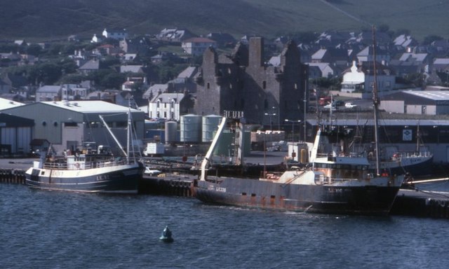
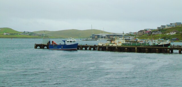
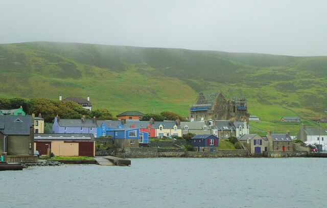
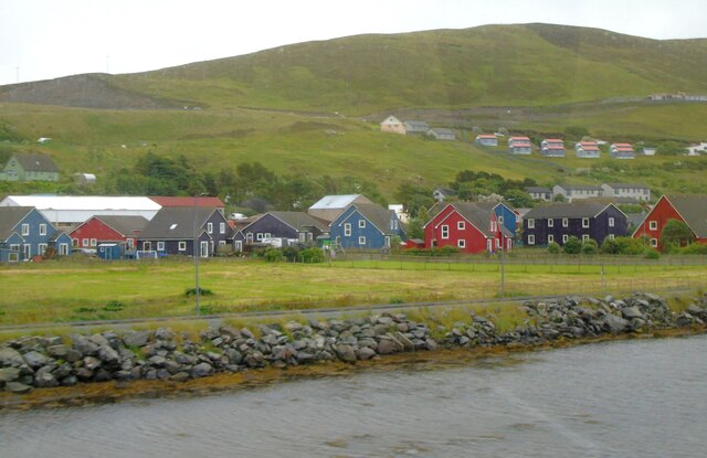
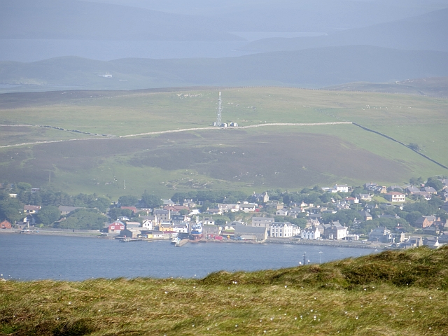
Scalloway

Scalloway (Old Norse: Skálavágr, "bay with the large house(s)") is the largest settlement on the west coast of the Mainland, the largest island of the...
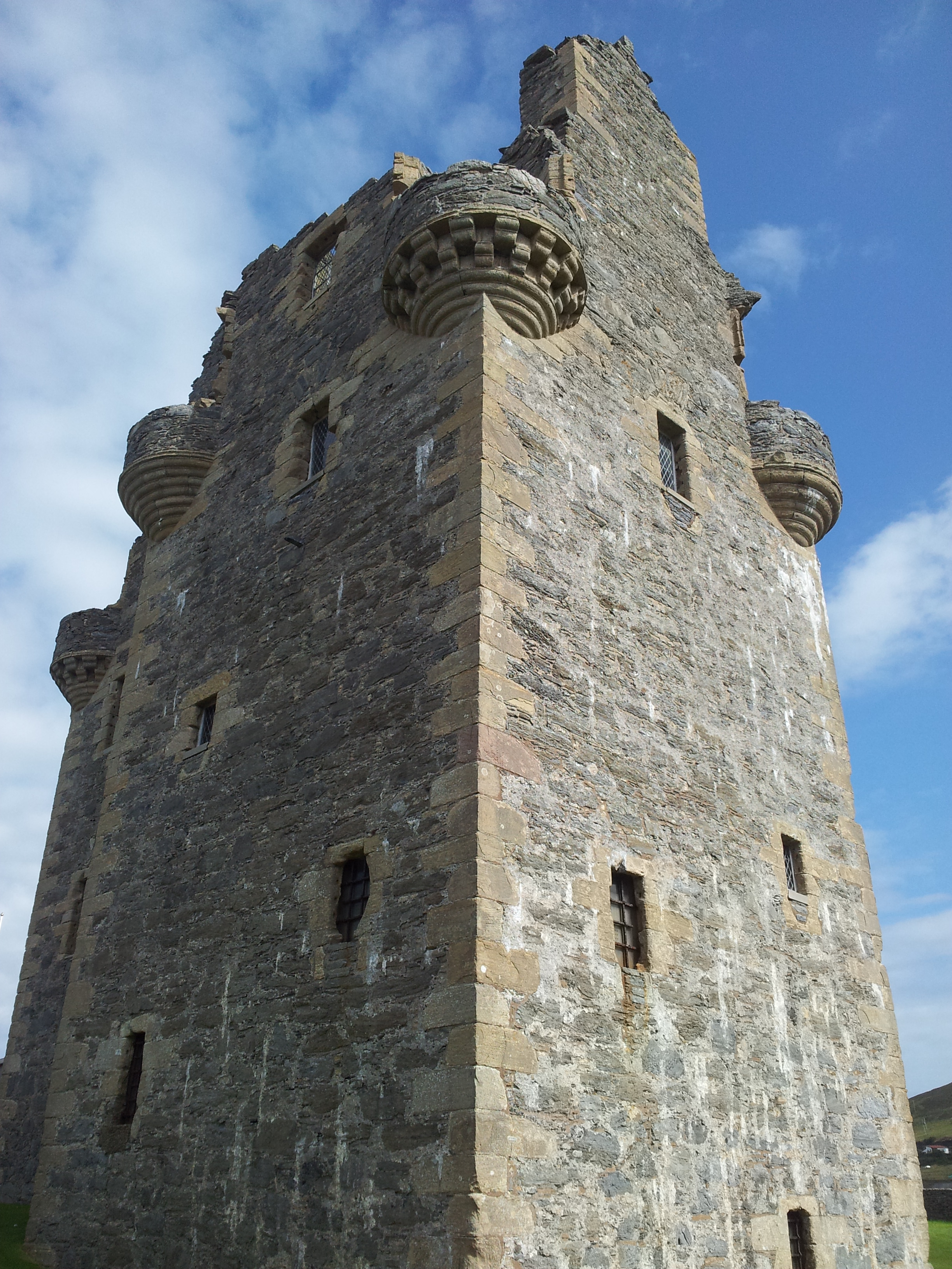
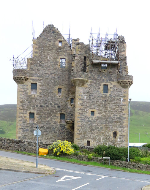
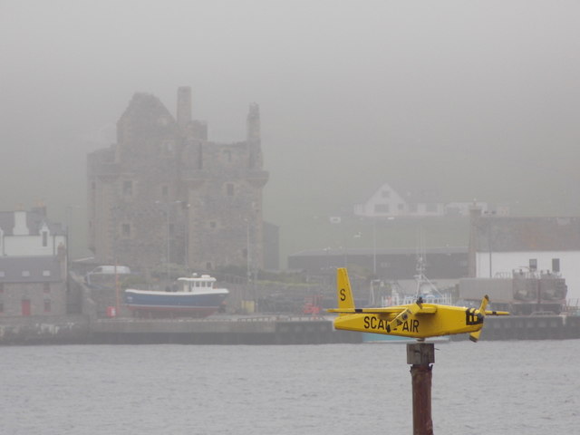
Scalloway Castle

Scalloway Castle is a tower house in Scalloway, on the Shetland Mainland, the largest island in the Shetland Islands of Scotland. The tower was built in...
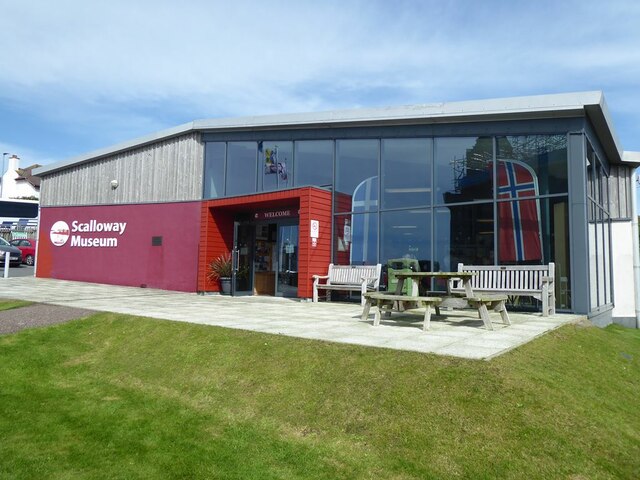
Scalloway Museum

Scalloway Museum is a local museum in Scalloway, Shetland. The museum has collections that cover the history of the Shetland Islands as well as historical...

Cutts, Shetland

Cutts is a settlement in the Shetland Islands, United Kingdom. It is on the island of Trondra off the west coast of Shetland Mainland. The B9074 crosses...

Law Ting Holm

Law Ting Holm (also known as Tingaholm) is a small promontory at the north end of the freshwater Loch of Tingwall, Mainland Shetland, Scotland. It was...

Setter Hill, Tingwall

Setter Hill is a hill in Tingwall, Shetland, Scotland. == References ==

Nearby Amenities

Located within 500m of 60.149012,-1.2790111
Power: pole
Source: bing
Lat/Long: 60.1471718/-1.2712534
Power: pole
Source: bing
Lat/Long: 60.1473105/-1.2721638
Power: pole
Source: bing
Lat/Long: 60.1474878/-1.2733164
Power: pole
Source: bing
Lat/Long: 60.1476777/-1.2746221
Power: pole
Source: bing
Lat/Long: 60.1478805/-1.2759432
Power: pole
Source: bing
Lat/Long: 60.1480823/-1.2772665
Power: pole
Source: bing
Lat/Long: 60.1482506/-1.2783368
Power: pole
Source: bing
Lat/Long: 60.1484389/-1.2795683
Power: pole
Source: bing
Lat/Long: 60.148654/-1.2810148
Power: pole
Source: bing
Lat/Long: 60.1488413/-1.2819866
Power: pole
Source: bing
Lat/Long: 60.1490564/-1.2830972
Power: pole
Source: bing
Lat/Long: 60.149306/-1.284416
Power: pole
Source: bing
Lat/Long: 60.1495508/-1.285732
Power: pole
Source: bing
Lat/Long: 60.1498322/-1.2872473
Power: pole
Lat/Long: 60.1479433/-1.2730491
Power: pole
Lat/Long: 60.1484273/-1.2727719
Power: pole
Lat/Long: 60.1488746/-1.2725016
The data included in this document is from www.openstreetmap.org. The data is made available under ODbL.

Have you been to Hill of Houlland?

Leave your review of Hill of Houlland below (or comments, questions and feedback).