Redding's Hill
Hill, Mountain in Durham
England
Redding's Hill
Redding's Hill, located in Durham, is a prominent geographical feature in the region. It is a hill that is often referred to as Redding's Mountain due to its significant elevation. The hill stands at an approximate height of 900 feet above sea level, making it one of the highest points in the area.
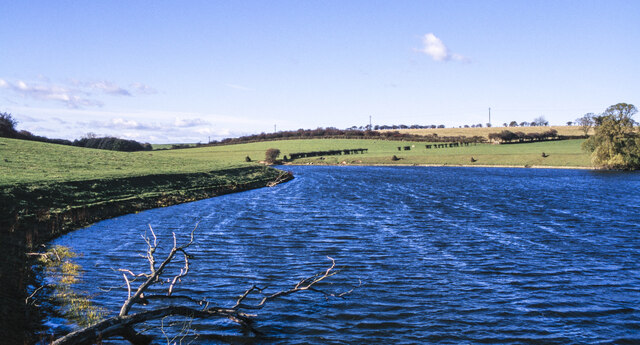
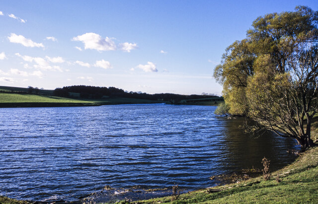
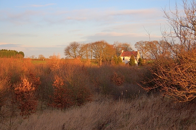
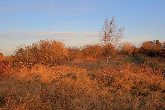
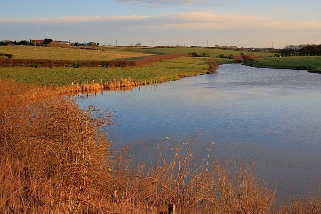
Redding's Hill is known for its picturesque views of the surrounding landscape. From the top, visitors can enjoy panoramic vistas of the rolling countryside, with lush green fields stretching out as far as the eye can see. On clear days, it is possible to catch glimpses of the nearby city of Durham in the distance.
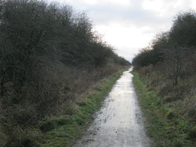
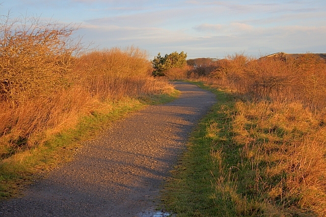
The hill is a popular destination for outdoor enthusiasts, offering various recreational activities. Hiking and walking trails meander through the surrounding woodlands, providing opportunities for visitors to explore the natural beauty of the area. The hill's elevation also makes it a great spot for paragliding and hang gliding, attracting thrill-seekers and adventurers.
In addition to its natural beauty, Redding's Hill holds historical significance. It is believed to have been named after a local farmer named Redding, who once owned the land. The hill has witnessed centuries of human activity, with ancient settlements and burial sites discovered in the vicinity.
Overall, Redding's Hill is a captivating destination that combines natural beauty, recreational opportunities, and historical significance. Whether one seeks stunning views, outdoor adventures, or a glimpse into the past, this Durham hill is sure to leave a lasting impression on all who visit.
If you have any feedback on the listing, please let us know in the comments section below.
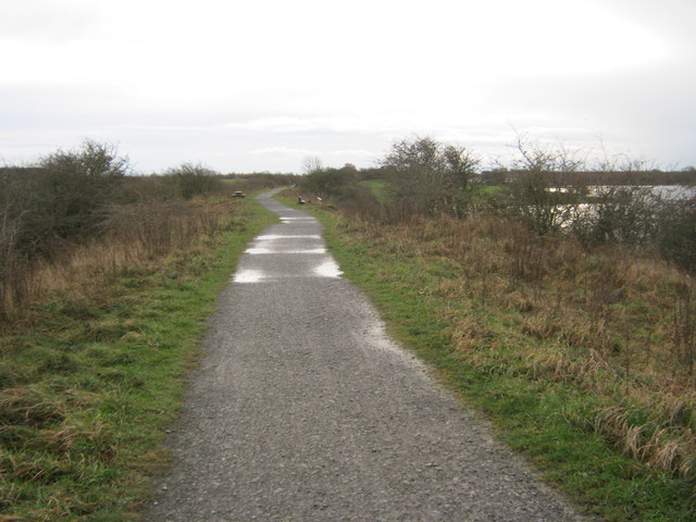
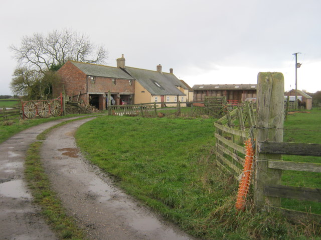
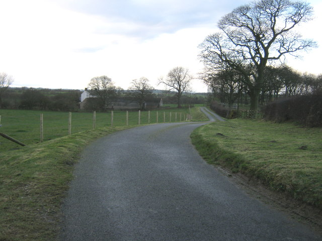
Redding's Hill Images
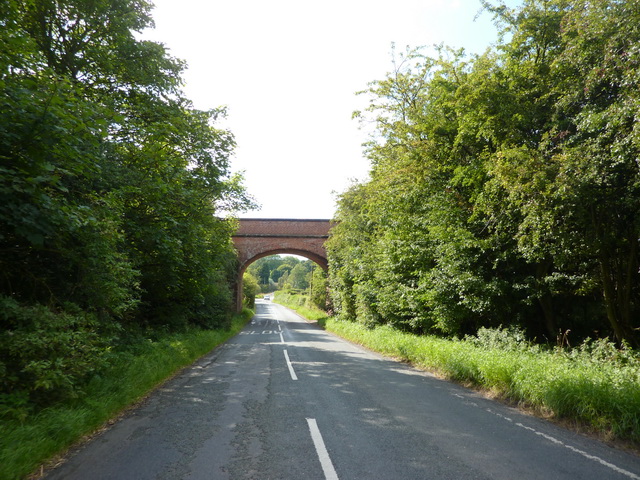
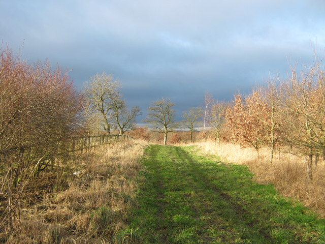
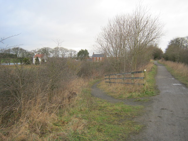
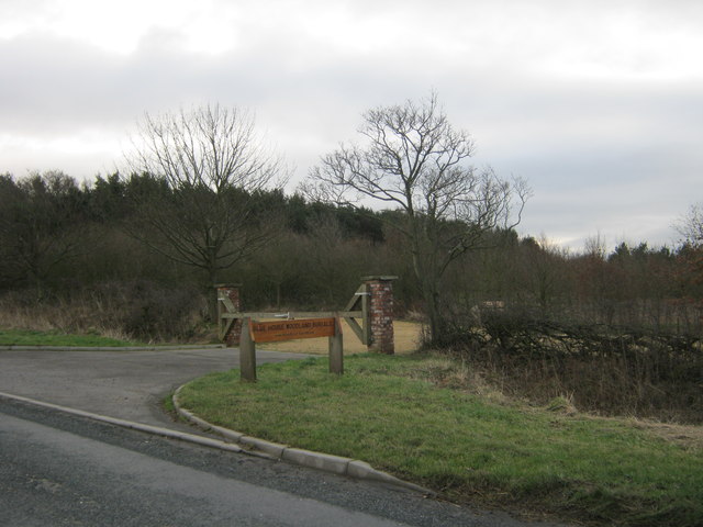
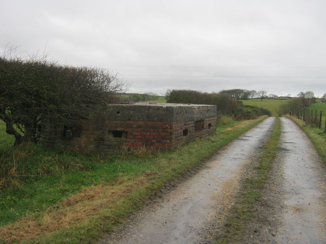
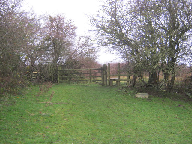
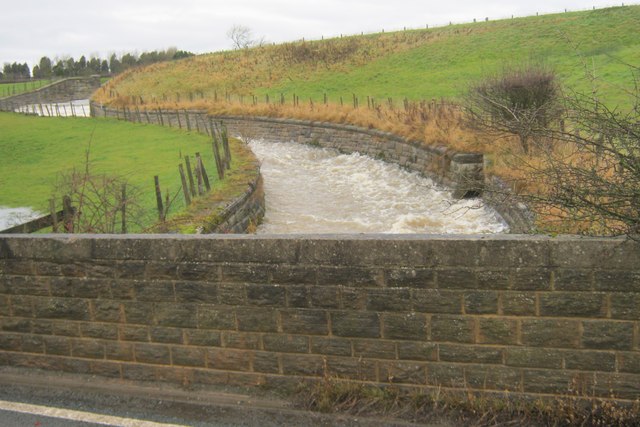
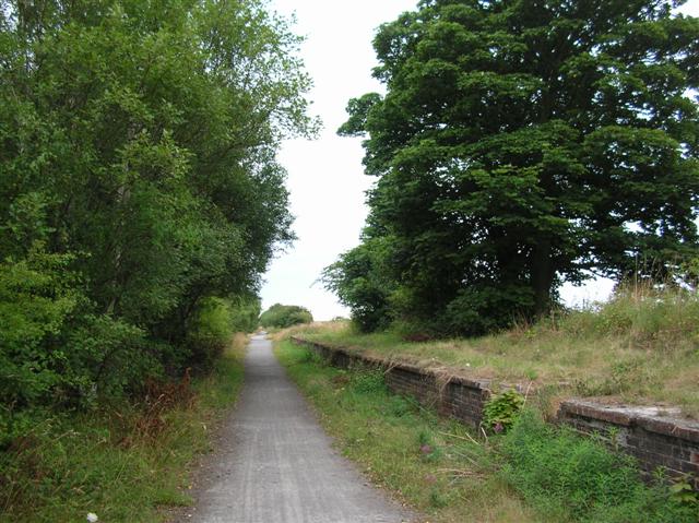
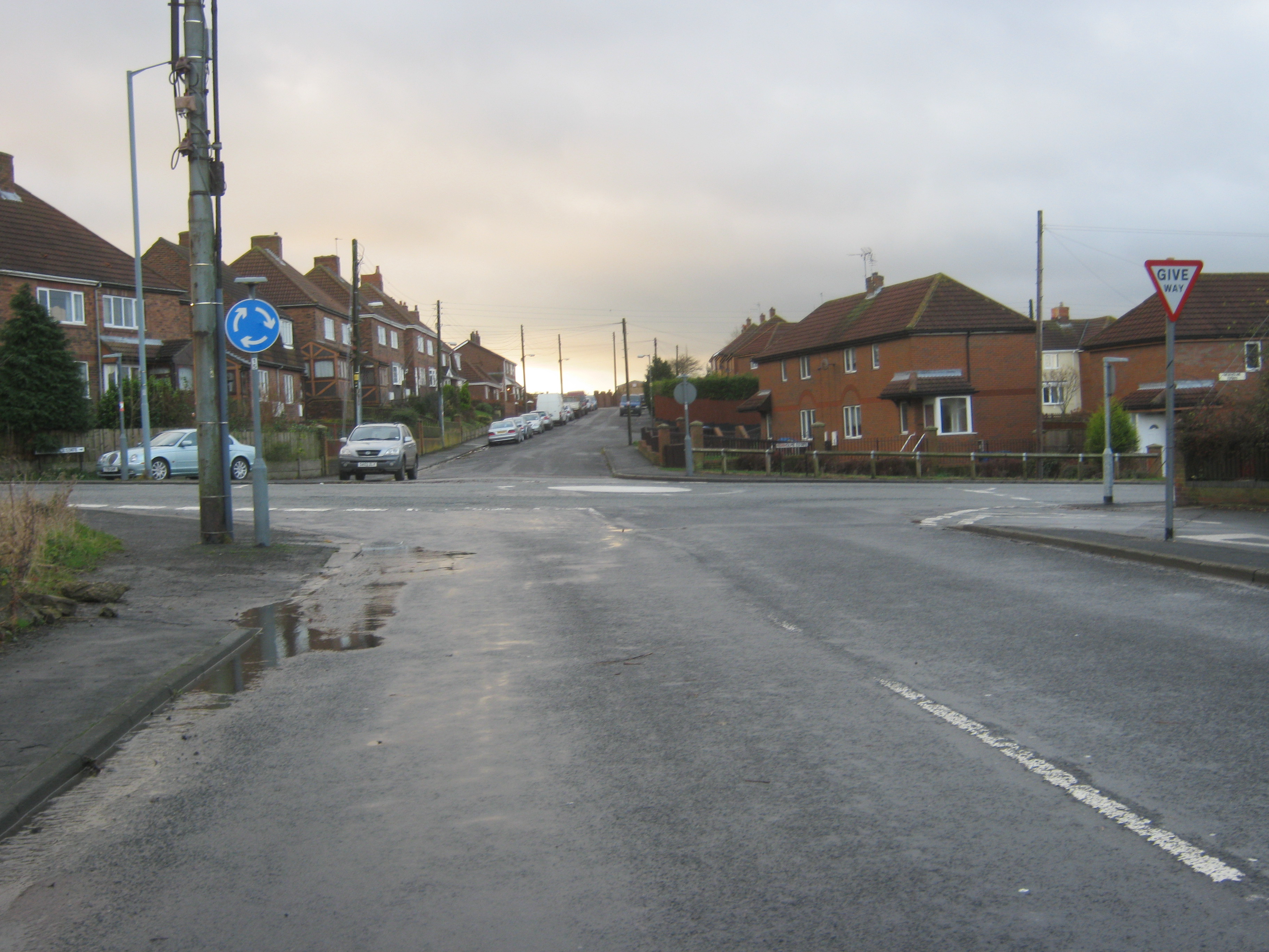
Images are sourced within 2km of 54.696338/-1.3844114 or Grid Reference NZ3933. Thanks to Geograph Open Source API. All images are credited.
Redding's Hill is located at Grid Ref: NZ3933 (Lat: 54.696338, Lng: -1.3844114)
Unitary Authority: County Durham
Police Authority: Durham
What 3 Words
///leads.stoppage.lentil. Near Trimdon, Co. Durham
Nearby Locations
Related Wikis
Hurworth Burn railway station
Hurworth Burn railway station was a railway station on the Castle Eden branch of the North Eastern Railway (NER) from 1880 to 1931. It was located between...

Pike Whin Bog
Pike Whin Bog is a Site of Special Scientific Interest in the Easington district of east County Durham, England. It is situated just east of Hurworth Burn...
Charity Land
Charity Land is a Site of Special Scientific Interest in the Sedgefield district of County Durham, England. It covers an area on both banks of the River...
Station Town
Station Town is a village in the civil parish of Hutton Henry and Station Town, in County Durham, England. It is situated to the south of Wingate, west...
Nearby Amenities
Located within 500m of 54.696338,-1.3844114Have you been to Redding's Hill?
Leave your review of Redding's Hill below (or comments, questions and feedback).