Tyers Hill
Hill, Mountain in Yorkshire
England
Tyers Hill

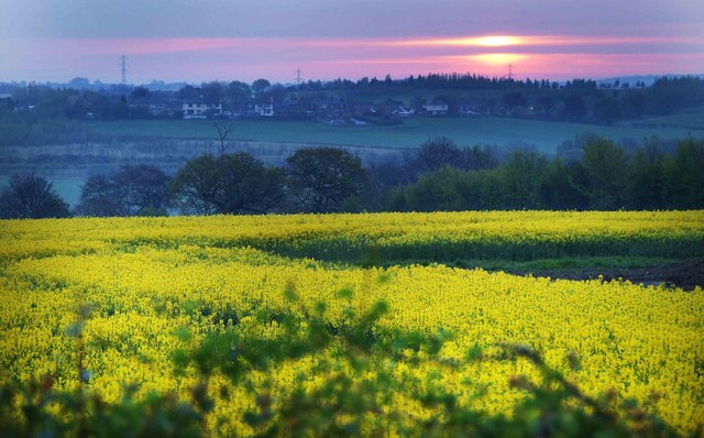
Tyers Hill is a prominent hill located in the county of Yorkshire, England. Situated within the stunning Yorkshire Dales National Park, it stands at an elevation of approximately 450 meters (1,476 feet) above sea level. This hill is recognized for its breathtaking views, making it a popular destination for hikers, nature enthusiasts, and photographers.
The hill is characterized by its rolling green slopes, which are covered in a patchwork of heather and grasses that change hues throughout the seasons. This vibrant landscape offers a picturesque backdrop to the surrounding countryside. The summit of Tyers Hill provides visitors with a panoramic view of the Yorkshire Dales, with its undulating hills, meandering rivers, and picturesque villages.
The hill is easily accessible, with numerous footpaths and trails crisscrossing its slopes. These paths cater to a range of abilities, from leisurely walks to challenging hikes, allowing visitors to explore the area at their own pace. Along the way, walkers may encounter an array of wildlife, including birds, rabbits, and the occasional deer.
Close to Tyers Hill, you can find the charming village of Grassington, which offers amenities such as cafes, pubs, and accommodation options for those wishing to extend their stay. Additionally, the nearby Yorkshire Dales Visitor Centre provides information about the region's natural history, geology, and wildlife.
In conclusion, Tyers Hill in Yorkshire is a picturesque and accessible hill, boasting stunning views of the Yorkshire Dales. Whether you are seeking a peaceful walk or a challenging hike, this natural wonder offers a delightful experience for visitors of all ages.
If you have any feedback on the listing, please let us know in the comments section below.
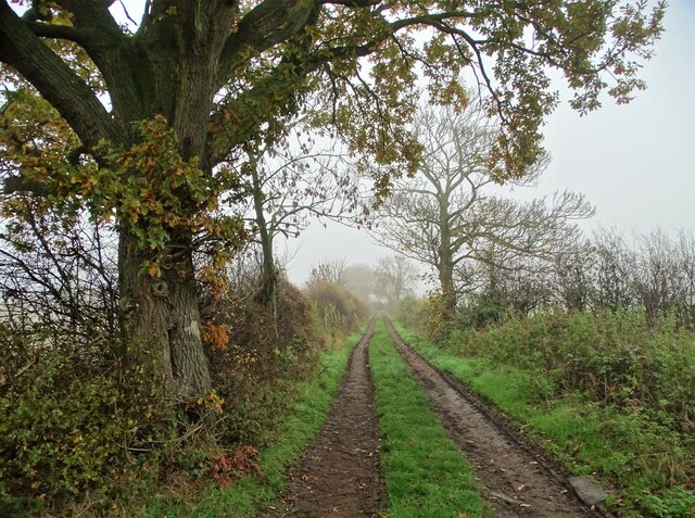
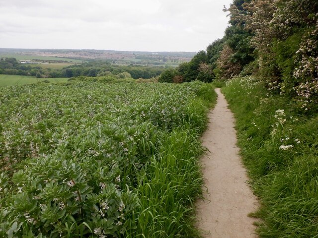
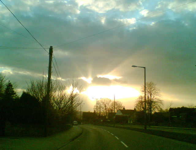
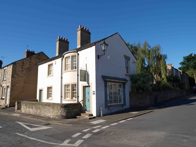
Tyers Hill Images
Images are sourced within 2km of 53.552811/-1.4012145 or Grid Reference SE3906. Thanks to Geograph Open Source API. All images are credited.


Tyers Hill is located at Grid Ref: SE3906 (Lat: 53.552811, Lng: -1.4012145)
Division: West Riding
Unitary Authority: Barnsley
Police Authority: South Yorkshire
What 3 Words
///slimmer.stable.spearing. Near Cudworth, South Yorkshire
Nearby Locations
Related Wikis

Dearne FM
Greatest Hits Radio South Yorkshire (Barnsley) is an Independent Local Radio station serving Barnsley. The station, originally known as Dearne FM, was...
Ardsley, South Yorkshire
Ardsley is a small village approximately 3 miles (5 km) east from Barnsley and forms part of the Metropolitan Borough of Barnsley of South Yorkshire, England...
Upperwood Academy
Upperwood Academy (formerly Darfield Upperwood Primary School and Darfield Upperwood Academy) is a 4–11 primary school with academy status located in Darfield...
Darfield, South Yorkshire
Darfield is a village within the Metropolitan Borough of Barnsley, South Yorkshire, England. It is historically part of the West Riding of Yorkshire. The...
Barnsley (speedway)
Barnsley were a British speedway team from Barnsley, England, that competed in the English Dirt Track League in the inaugural season of British Speedway...
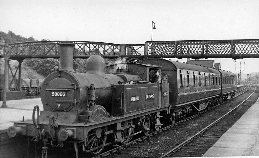
Cudworth railway station
Cudworth railway station (English: ) was a railway station that served Cudworth, South Yorkshire, England. == History == The station was built by the North...
Little Houghton, South Yorkshire
Little Houghton is a hamlet and civil parish in the Metropolitan Borough of Barnsley, South Yorkshire, England. At the 2001 census it had a population...
Carlton Main Brickworks
Carlton Main Brickworks (grid reference SE412081) is a 15.5 hectare (38.4 acre) geological site of Special Scientific Interest in South Yorkshire. It opened...
Nearby Amenities
Located within 500m of 53.552811,-1.4012145Have you been to Tyers Hill?
Leave your review of Tyers Hill below (or comments, questions and feedback).