Hill of Huxter

Hill, Mountain in Shetland

Scotland

Hill of Huxter

Head of Weisdale Voe from the air
Head of Weisdale Voe from the air Credit: Mike Pennington

The requested URL returned error: 429 Too Many Requests

If you have any feedback on the listing, please let us know in the comments section below.

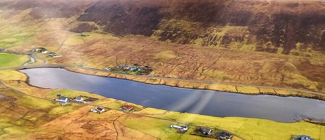
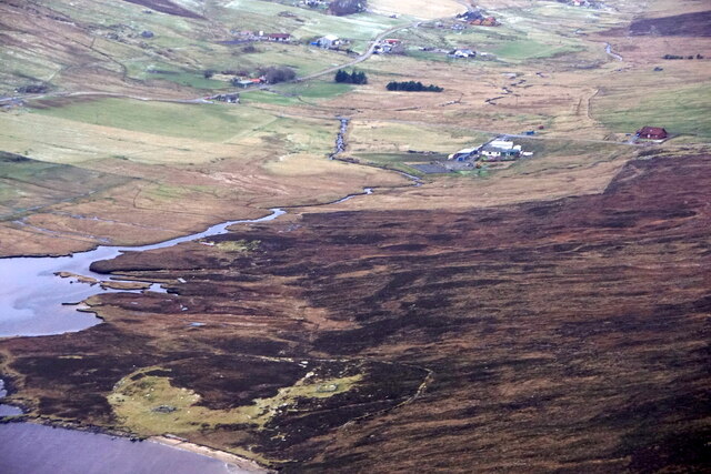
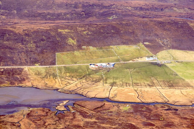
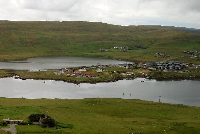
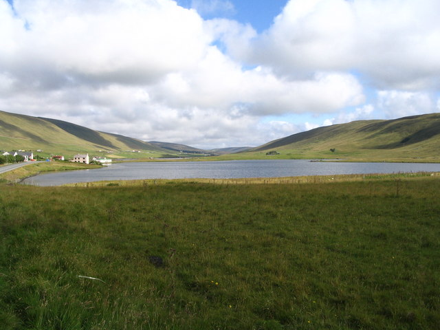
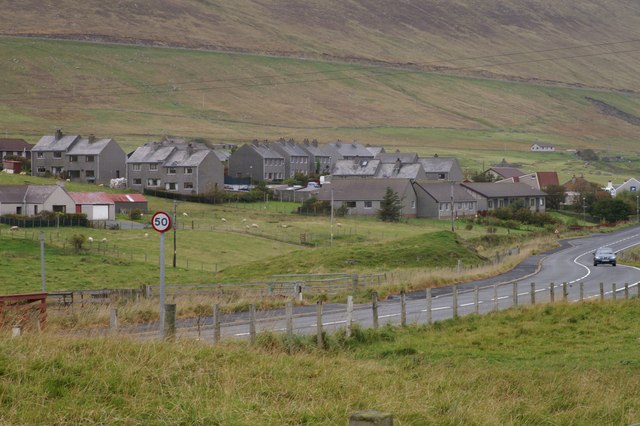
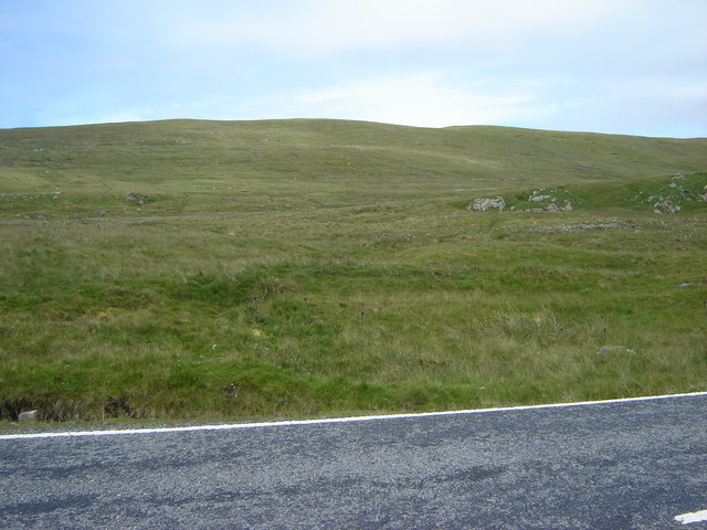
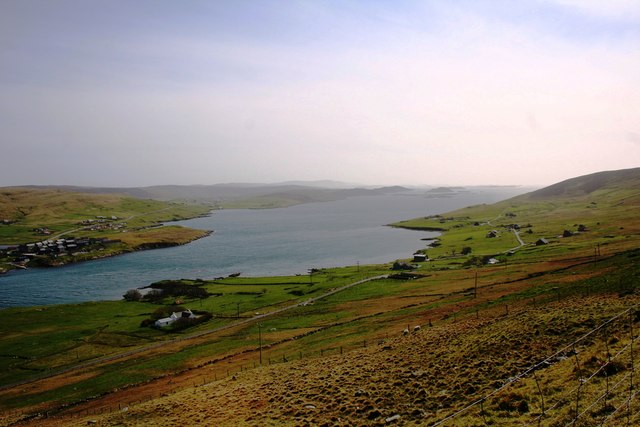
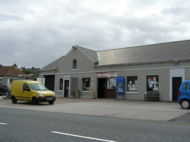
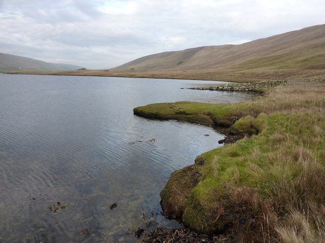
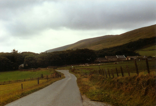
Hill of Huxter Images

Images are sourced within 2km of 60.239877/-1.2833731 or Grid Reference HU3950. Thanks to Geograph Open Source API. All images are credited.

Head of Weisdale Voe from the air
Working on the landfall of the interconnector, Weisdale Voe The interconnector will carry electricity generated by the Viking Windfarm to mainland Britain.
Working on the landfall of the interconnector, Weisdale Voe
The interconnector will carry electricity generated by the Viking Windfarm to mainland Britain.
Landfall for the interconnector, Weisdale Voe
The hoverfly Xylota segnis, Weisdale Kirk
The spider Tetragnatha extensa, Weisdale Kirk
Worker Early Bumblebee (Bombus pratorum), Weisdale Kirk A very recent colonist in Shetland, first recorded in 2018.
Worker Early Bumblebee (Bombus pratorum), Weisdale Kirk
A very recent colonist in Shetland, first recorded in 2018.
Girsta Service Reservoir I parked near Girlsta Service Reservoir before climbing the moorland HuMP called Hill of Hamarsland.
Girsta Service Reservoir
I parked near Girlsta Service Reservoir before climbing the moorland HuMP called Hill of Hamarsland.
Hill of Moustoft Bagged with Tricky Speirs from the east and parking easy after cattle grid.Name: Hill of Moustoft
Hill number: 4913
Height: 176m / 577ft
Area: 22: Shetland Islands
Class: Hu
Grid ref: HU400521 (est)
Drop: 116m
Col: 60m  HU405541
Hill of Moustoft
Bagged with Tricky Speirs from the east and parking easy after cattle grid.Name: Hill of Moustoft Hill number: 4913 Height: 176m / 577ft Area: 22: Shetland Islands Class: Hu Grid ref: HU400521 (est) Drop: 116m Col: 60m HU405541
Stromfirth from the air
Tirsa Water from the air
Kalliness The village seen across the waters of Weisdale Voe
Kalliness
The village seen across the waters of Weisdale Voe
South end of Loch of Hellister and houses of Kalliness
Housing at Kalliness
Hill of Hellister from Stromfirth Road
Weisdale Voe The broad southwesterly sweep seaward of Weisdale Voe.
Weisdale Voe
The broad southwesterly sweep seaward of Weisdale Voe.
Weisdale Shop
Weisdale Shop
Loch of Hellister The SE shore of the brackish Loch of Hellister.
Loch of Hellister
The SE shore of the brackish Loch of Hellister.
Show me another place!

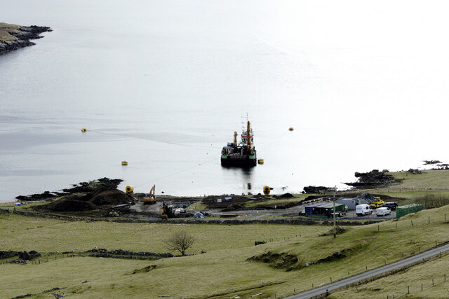
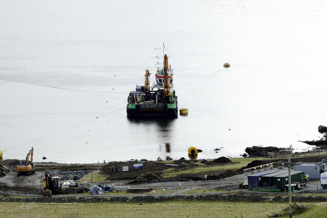
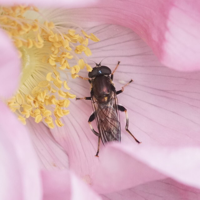
Hill of Huxter is located at Grid Ref: HU3950 (Lat: 60.239877, Lng: -1.2833731)

Unitary Authority: Shetland Islands

Police Authority: Highlands and Islands

What 3 Words

///texted.converter.exploring. Near Aith, Shetland Islands

Nearby Locations

Huxter Hill of Huxter

Related Wikis

Weisdale Mill

Weisdale Mill is a watermill in the village of Weisdale, Shetland, Scotland. It is located near the head of Weisdale Voe on the west of the island, a twenty...

Weisdale

Weisdale is a bay, hamlet and ancient parish on Mainland in Shetland, Scotland. The bay opens near the northern extremity of Scalloway Bay, and strikes...

Greena

Greena is a small island off the west coast of Mainland, Shetland. It is 10m at its highest point, and is north of Flotta, Shetland. It is in Weisdale...

Westerfield, Shetland

Westerfield is a coastal community on Mainland, in Shetland, Scotland. The community is within the parish of Sandsting.It lies to the west of Tresta on...

Nearby Amenities

Located within 500m of 60.239877,-1.2833731
Power: pole
Lat/Long: 60.2418261/-1.2889208
Power: pole
Lat/Long: 60.2369694/-1.2884862
Power: pole
Lat/Long: 60.2362996/-1.28842
Power: pole
Lat/Long: 60.2411403/-1.288869
Power: pole
Lat/Long: 60.2397496/-1.2887445
Power: pole
Lat/Long: 60.238791/-1.2916927
Power: pole
Lat/Long: 60.2392192/-1.2908462
Power: pole
Lat/Long: 60.2396726/-1.2899836
Power: pole
Lat/Long: 60.2404421/-1.2888065
Power: pole
Lat/Long: 60.2428412/-1.2898394
Power: pole
Lat/Long: 60.2422062/-1.2898931
Power: pole
Lat/Long: 60.2415845/-1.2899253
Power: pole
Lat/Long: 60.2409402/-1.2899387
Power: pole
Lat/Long: 60.2402771/-1.2899414
The data included in this document is from www.openstreetmap.org. The data is made available under ODbL.

Have you been to Hill of Huxter?

Leave your review of Hill of Huxter below (or comments, questions and feedback).