Bracken Hill

Hill, Mountain in Yorkshire

England

Bracken Hill

Kites over Heath Common Kites seem to be bigger than they used to be.  The central one looks like a parrot and to its right an octopus or squid. Heath Common is very popular on a Sunday afternoon. There were at least two ice-cream vans. Luckily there are plenty of places to park.
Kites over Heath Common Credit: Humphrey Bolton

The requested URL returned error: 429 Too Many Requests

If you have any feedback on the listing, please let us know in the comments section below.
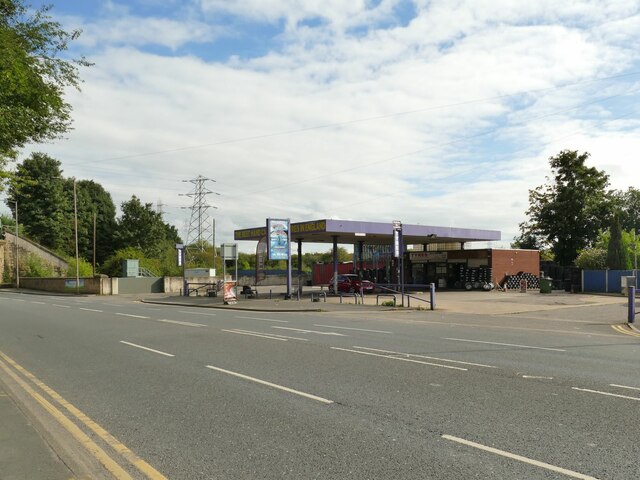
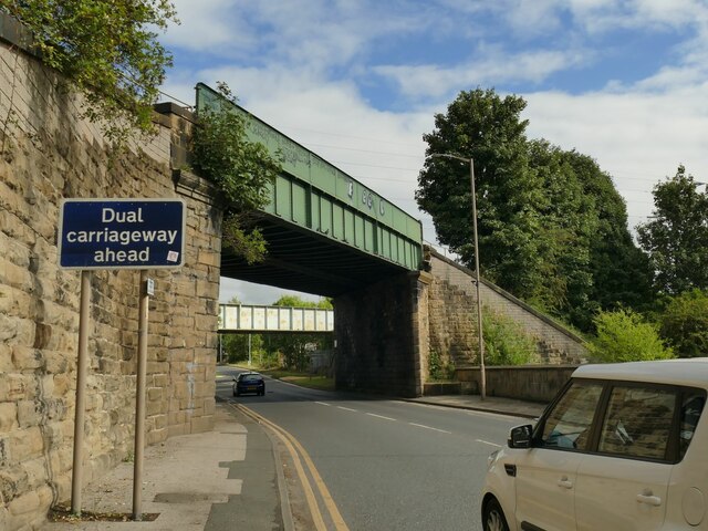
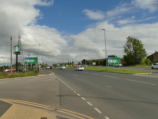
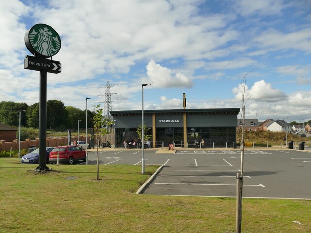
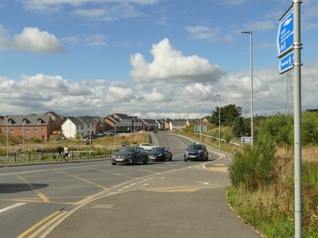
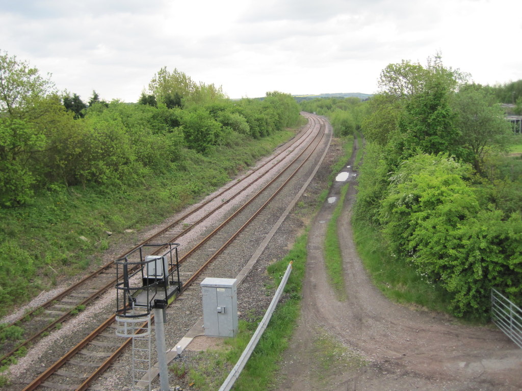
Bracken Hill Images

Images are sourced within 2km of 53.668257/-1.4458484 or Grid Reference SE3619. Thanks to Geograph Open Source API. All images are credited.

Kites over Heath Common Kites seem to be bigger than they used to be.  The central one looks like a parrot and to its right an octopus or squid. Heath Common is very popular on a Sunday afternoon. There were at least two ice-cream vans. Luckily there are plenty of places to park.
Kites over Heath Common
Kites seem to be bigger than they used to be. The central one looks like a parrot and to its right an octopus or squid. Heath Common is very popular on a Sunday afternoon. There were at least two ice-cream vans. Luckily there are plenty of places to park.
Doorway and inn sign, King's Arms, Heath
Heath Common Trig Point Flush Bracket S4097
Pocket park at the junction of Doncaster Road and Agbrigg Road Formerly the grounds of Stoneleigh House.
Pocket park at the junction of Doncaster Road and Agbrigg Road
Formerly the grounds of Stoneleigh House.
Hand car wash and tyre sales, Doncaster Road This business boasts 'the best hand car wash and tyres in England', without so much as a 'probably'.
Hand car wash and tyre sales, Doncaster Road
This business boasts 'the best hand car wash and tyres in England', without so much as a 'probably'.
Railway bridges over Doncaster Road The nearer bridge carries a link line from Wakefield Kirkgate station to the main Leeds-Doncaster line. The second bridge, seen from the other side in <a href="https://www.geograph.org.uk/photo/3784593">SE3419 : A638 passes under railway bridges at Agbrigg</a>, once carried a freight branch into Wakefield Power Station, a site now being redeveloped for housing.
Railway bridges over Doncaster Road
The nearer bridge carries a link line from Wakefield Kirkgate station to the main Leeds-Doncaster line. The second bridge, seen from the other side in SE3419 : A638 passes under railway bridges at Agbrigg, once carried a freight branch into Wakefield Power Station, a site now being redeveloped for housing.
Junction on Doncaster Road A somewhat complex junction at the junction of A638 Doncaster Road and A6194 Neil Fox Way (Wakefield eastern bypass). Until 1953, Doncaster Road crossed the Barnsley Canal within this area; the canal is long since infilled.
Junction on Doncaster Road
A somewhat complex junction at the junction of A638 Doncaster Road and A6194 Neil Fox Way (Wakefield eastern bypass). Until 1953, Doncaster Road crossed the Barnsley Canal within this area; the canal is long since infilled.
Starbucks, Doncaster Road A cafe with drive-thru facility, built on the site of the former Agbrigg Farm.
Starbucks, Doncaster Road
A cafe with drive-thru facility, built on the site of the former Agbrigg Farm.
Southern end of Neil Fox Way This is the Wakefield eastern bypass, opened in 2017 and releasing a large tract of land for infill development. There is nothing remaining of the original settlement of Agbrigg, which included the Jolly Sailor pub that was roughly where these cars are.
Southern end of Neil Fox Way
This is the Wakefield eastern bypass, opened in 2017 and releasing a large tract of land for infill development. There is nothing remaining of the original settlement of Agbrigg, which included the Jolly Sailor pub that was roughly where these cars are.
Trans-Pennine Trail at Agbrigg The trail is just signposted 'North' and follows the northern edge of Heath Common to Heath village.
Trans-Pennine Trail at Agbrigg
The trail is just signposted 'North' and follows the northern edge of Heath Common to Heath village.
Western end of Heath Common As well as the Trans-Pennine Trail (left) there is a low embankment (right) that runs straight for nearly 300 metres to Kirkthorpe Lane. I can't see anything marked on old maps online to suggest what it was; possibly a temporary access road or railway line used in construction?
Western end of Heath Common
As well as the Trans-Pennine Trail (left) there is a low embankment (right) that runs straight for nearly 300 metres to Kirkthorpe Lane. I can't see anything marked on old maps online to suggest what it was; possibly a temporary access road or railway line used in construction?
Horse on Heath Common Several people make use of the common right of grazing horses here.
Horse on Heath Common
Several people make use of the common right of grazing horses here.
Mystery stone structures on Heath Common A pair of low circular stone enclosures, each about 2-3 metres in diameter, with a footpath between them. Too large to be gateposts, and no maps I have seen show any structure here.
Mystery stone structures on Heath Common
A pair of low circular stone enclosures, each about 2-3 metres in diameter, with a footpath between them. Too large to be gateposts, and no maps I have seen show any structure here.
Dame Mary Bolles' Water Tower An unusual curiosity that served the former Heath Old Hall, dating from the 17th century and restored in 1985. The site consists of a water wheel, probably to pump spring water to a tank at the top, and possibly to serve a nearby ironworks. It also served as a viewing tower. Listed grade II* (list entry 1200499) but with no public access.
Dame Mary Bolles' Water Tower
An unusual curiosity that served the former Heath Old Hall, dating from the 17th century and restored in 1985. The site consists of a water wheel, probably to pump spring water to a tank at the top, and possibly to serve a nearby ironworks. It also served as a viewing tower. Listed grade II* (list entry 1200499) but with no public access.
Rough ground on Heath Common There are various ridges and depressions all across the heath, suggesting a variety of uses over the years, though the only one I can easily find reference to online is use of part of the common as a golf course in the early 20th century.
Rough ground on Heath Common
There are various ridges and depressions all across the heath, suggesting a variety of uses over the years, though the only one I can easily find reference to online is use of part of the common as a golf course in the early 20th century.
The Whittling Well, Heath Common An 18th century spring-fed drinking trough, more elegant than most, and grade II listed (list entry 1135553).
The Whittling Well, Heath Common
An 18th century spring-fed drinking trough, more elegant than most, and grade II listed (list entry 1135553).
Entry to Heath village The path in the foreground is the Trans-Pennine Trail.
Entry to Heath village
The path in the foreground is the Trans-Pennine Trail.
Heath village green In this village, the green (part of the wider Heath Common) probably occupies a larger area than all the private houses and gardens.
Heath village green
In this village, the green (part of the wider Heath Common) probably occupies a larger area than all the private houses and gardens.
Show me another place!

Bracken Hill is located at Grid Ref: SE3619 (Lat: 53.668257, Lng: -1.4458484)

Division: West Riding

Unitary Authority: Wakefield

Police Authority: West Yorkshire

What 3 Words

///talent.purely.drove. Near Crofton, West Yorkshire

Related Wikis

Warmfield cum Heath

Warmfield cum Heath is a civil parish in the City of Wakefield in West Yorkshire, England. It has a population of 844. increasing to 941 at the 2011 Census...

Crofton TMD

Crofton Depot is a traction maintenance depot located in Crofton, West Yorkshire, England. The depot is situated on the Wakefield Line and Pontefract Line...

Crofton railway station

Crofton Station was the smaller of two stations serving Crofton (with the other being Hare Park & Crofton). It was next to Doncaster Road, on the current...

Oakenshaw railway station

Oakenshaw railway station was located about two miles south-east of Wakefield, West Yorkshire, England. It was opened in 1840 by the North Midland Railway...

Related Videos

#youngboyneverbroke #lildump #nbayoungboy #bwayyungy #nba

bwayyungy #nba #youngboyneverbroke @MR-BEEN2.0 @NbaYoungBoy @YbArchives- @nbaybsnippets @38BabyEdits ...

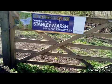
Part one of Stanley ferry marsh

Created by VideoShow:http://videoshowapp.com/free.

THE CROFTON SILVER BAND CHRISTMAS DAY 2023

The band playing outside our house on Christmas day.

Nearby Amenities

Located within 500m of 53.668257,-1.4458484
Bus Stop
Doncaster Road Lodge Lane
Bench: yes
Bus: yes
Kerb: raised
Local Ref: 45019616
Naptan AtcoCode: 450019616
Naptan Bearing: W
Naptan CommonName: Doncaster Road Lodge Lane
Naptan Crossing: Lodge Lane
Naptan Indicator: Stop 45019616
Naptan Landmark: Crofton Arms PH
Naptan PlusbusZoneRef: LEEDS
Naptan ShortCommonName: Lodge Lane
Naptan Street: Doncaster Road
Naptan Verified: yes
Public Transport: platform
Shelter: yes
Source: naptan_import
Timetable: yes
Lat/Long: 53.6650482/-1.4411098
Bus Stop
Doncaster Road Lodge Lane
Bus: yes
Kerb: raised
Local Ref: 45019617
Naptan AtcoCode: 450019617
Naptan Bearing: E
Naptan CommonName: Doncaster Road Lodge Lane
Naptan Crossing: Lodge Lane
Naptan Indicator: Stop 45019617
Naptan PlusbusZoneRef: LEEDS
Naptan ShortCommonName: Lodge Lane
Naptan Street: Doncaster Road
Naptan Verified: yes
Note: Sign incorrectly labelled Ledge Lane - NaPTAN correct
Public Transport: platform
Shelter: no
Source: naptan_import
Timetable: yes
Lat/Long: 53.6653162/-1.442095
Crofton Old Station Level Crossing
Alt Name: Crofton Track Works
Crossing Barrier: full
Railway: level_crossing
Lat/Long: 53.666631/-1.4413163
Power: pole
Lat/Long: 53.6642663/-1.4437913
Material: wood
Power: pole
Lat/Long: 53.6648472/-1.4438834
Railway: switch
Lat/Long: 53.6665556/-1.4494158
Crofton No.2 Level Crossing;
Crossing Barrier: full
Railway: level_crossing
Lat/Long: 53.6671332/-1.4412443
Railway: switch
Lat/Long: 53.6675274/-1.4397935
Railway: switch
Lat/Long: 53.6664659/-1.448367
Railway: switch
Lat/Long: 53.6664698/-1.4487139
Railway: switch
Lat/Long: 53.6670023/-1.4419101
Crofton No.2 Level Crossing;
Crossing Barrier: full
Railway: level_crossing
Lat/Long: 53.6671729/-1.4412456
Railway: switch
Lat/Long: 53.6670691/-1.4415372
Railway: switch
Lat/Long: 53.6664065/-1.4487005
Railway: switch
Lat/Long: 53.6671241/-1.4416681
Railway: switch
Lat/Long: 53.6668726/-1.440938
Railway: buffer_stop
Lat/Long: 53.6671213/-1.4517912
Material: wood
Power: pole
Lat/Long: 53.6649218/-1.4507388
Power: pole
Lat/Long: 53.6669348/-1.4490003
Power: pole
Lat/Long: 53.667824/-1.4489737
Power: pole
Lat/Long: 53.6687038/-1.4489658
Power: pole
Lat/Long: 53.6687776/-1.4490745
Power: pole
Lat/Long: 53.6693039/-1.4499045
Power: pole
Lat/Long: 53.669441/-1.4483968
Power: pole
Lat/Long: 53.6696039/-1.4503897
Power: pole
Lat/Long: 53.6700165/-1.4477968
Power: pole
Lat/Long: 53.6700726/-1.4510932
Power: pole
Lat/Long: 53.6705371/-1.4518376
Power: pole
Lat/Long: 53.6707163/-1.4470805
Power: pole
Lat/Long: 53.6712917/-1.4464468
Power: pole
Lat/Long: 53.6720914/-1.4456218
Crofton Old Station Level Crossing
Alt Name: Crofton Track Works
Crossing Barrier: full
Railway: level_crossing
Lat/Long: 53.6666713/-1.4413046
Crofton
Abandoned Railway: station
Railway: site
Lat/Long: 53.6668145/-1.4411371
Railway: switch
Lat/Long: 53.666278/-1.4420439
Railway: switch
Lat/Long: 53.6662529/-1.4420179
Railway: switch
Lat/Long: 53.667228/-1.4407992
Railway: railway_crossing
Lat/Long: 53.6660872/-1.4423844
Railway: switch
Lat/Long: 53.6669836/-1.4418409
Railway: switch
Lat/Long: 53.6663936/-1.448159
Railway: switch
Lat/Long: 53.6669238/-1.4427004
Railway: switch
Lat/Long: 53.6664964/-1.4478781
Crofton East Junction
Railway: junction
Lat/Long: 53.6659337/-1.4427454
Car Wash
Redbeck Hand Car Wash
Addr City: Wakefield
Addr Housename: Redbeck Filling Station
Addr Postcode: WF4 1RR
Addr Street: Doncaster Road
Automated: no
Self Service: no
Lat/Long: 53.6647683/-1.4460439
Atm
Lat/Long: 53.6647759/-1.4465489
Shop: florist
Lat/Long: 53.6647845/-1.4467254
Compressed Air
Lat/Long: 53.6647843/-1.4466708
Crofton East Junction
Railway: junction
Lat/Long: 53.6649274/-1.4445497
Railway: switch
Lat/Long: 53.6665335/-1.4473943
Railway: switch
Lat/Long: 53.6670825/-1.4420622
Crofton Train Maintenance Depot
Railway: yard
Lat/Long: 53.6664968/-1.4457882
Railway: switch
Lat/Long: 53.6676386/-1.4395905
Post Office
Doncaster Road Post Office
Addr City: Wakefield
Addr Postcode: WF4 1RR
Addr Street: Doncaster Road
Brand: Post Office
Brand Wikidata: Q1783168
Brand Wikipedia: en:Post Office Ltd
Contact Website: https://www.postoffice.co.uk/branch-finder/6783236/doncaster-road
Ref Pol Id: 145896
Lat/Long: 53.6647647/-1.4465607
Restaurant
Ali's Lounge
Addr City: Wakefield
Addr Housenumber: 437
Addr Postcode: WF4 1RP
Addr Street: Doncaster Road
Fhrs Id: 1436061
Lat/Long: 53.6654318/-1.44112
The data included in this document is from www.openstreetmap.org. The data is made available under ODbL.

Have you been to Bracken Hill?

Leave your review of Bracken Hill below (or comments, questions and feedback).