Atners Hill
Hill, Mountain in Hampshire Test Valley
England
Atners Hill

Atners Hill is a prominent hill located in Hampshire, England. Situated in the South Downs National Park, it is part of the picturesque landscape that characterizes the region. With an elevation of approximately 228 meters (748 feet), it offers breathtaking panoramic views of the surrounding countryside.
The hill is covered in lush greenery, featuring a mix of grasslands and patches of woodland. This diverse habitat provides a haven for various species of flora and fauna, making it a popular destination for nature enthusiasts and hikers alike. The area is home to an array of wildlife, including birds, butterflies, and small mammals.
Atners Hill is a favorite spot for outdoor activities such as walking, hiking, and horseback riding. Several well-marked trails crisscross the hill, catering to different levels of difficulty and offering opportunities for exploration and adventure. The hill's gentle slopes make it accessible to people of all ages and fitness levels.
In addition to its natural beauty, Atners Hill also has historical significance. It is believed to have been inhabited since prehistoric times, with evidence of ancient settlements and burial mounds found in the surrounding area. The hill's strategic location has made it a site of interest throughout history, with remnants of Iron Age hillforts and Roman settlements discovered nearby.
Overall, Atners Hill in Hampshire offers visitors a chance to immerse themselves in both natural and historical wonders. Its stunning views, diverse wildlife, and rich history make it a must-visit destination for anyone seeking to experience the beauty of the English countryside.
If you have any feedback on the listing, please let us know in the comments section below.
Atners Hill Images
Images are sourced within 2km of 51.125415/-1.4769017 or Grid Reference SU3636. Thanks to Geograph Open Source API. All images are credited.


Atners Hill is located at Grid Ref: SU3636 (Lat: 51.125415, Lng: -1.4769017)
Administrative County: Hampshire
District: Test Valley
Police Authority: Hampshire
What 3 Words
///butterfly.solids.cases. Near Anna Valley, Hampshire
Nearby Locations
Related Wikis
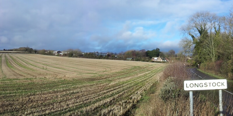
Longstock
Longstock is a village and civil parish in Hampshire, England. It lies on the western bank of the River Test, to the north of Stockbridge and to the west...

Abbess Grange
Abbess Grange is a neo-Elizabethan house at Leckford, Hampshire, England designed by Sir Banister Fletcher, a British architect, in 1901 for George Miles...
Stockbridge F.C.
Stockbridge Football Club is an English football club based in Stockbridge, Hampshire. The club is affiliated to the Hampshire Football Association, and...
Stockbridge railway station
Stockbridge railway station served the town of Stockbridge, Hampshire, England, from 1865 to 1964 on the Sprat and Winkle Line. == History == The station...
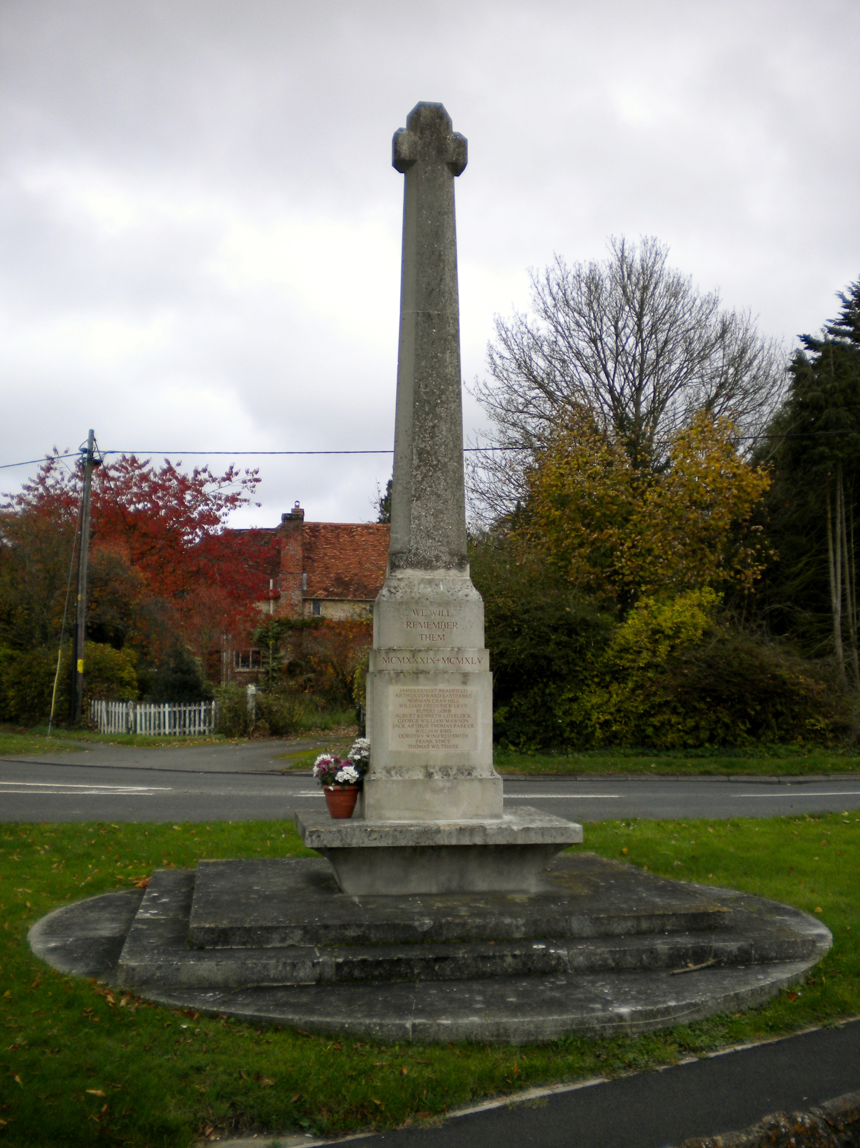
Stockbridge War Memorial
Stockbridge War Memorial is a First World War memorial in the town of Stockbridge in Hampshire in southern England. The memorial was designed by Sir Edwin...

Leckford
Leckford is a village and civil parish in Hampshire, England. It lies on the eastern bank of the River Test just to the south of its confluence with the...
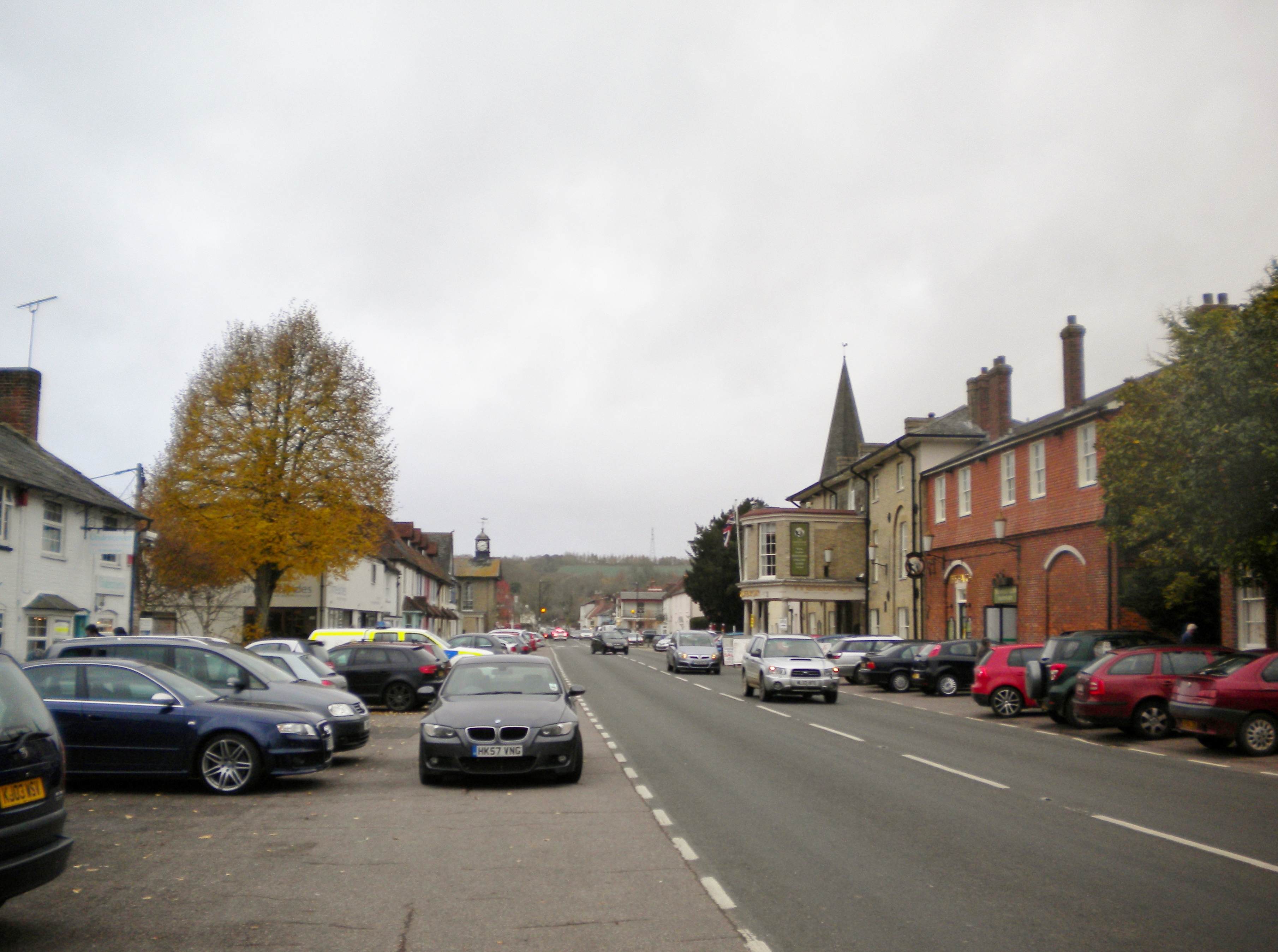
Stockbridge, Hampshire
Stockbridge is a town and civil parish in the Test Valley district of Hampshire, England. It had a population of 592 at the 2011 census. It sits astride...

Stockbridge Town Hall, Hampshire
Stockbridge Town Hall is a municipal building in the High Street in Stockbridge, Hampshire, England. The structure, which is used as the meeting place...
Nearby Amenities
Located within 500m of 51.125415,-1.4769017Have you been to Atners Hill?
Leave your review of Atners Hill below (or comments, questions and feedback).