Mill Hill
Hill, Mountain in Durham
England
Mill Hill

Mill Hill is a prominent hill located in the county of Durham, England. Situated in the northern part of the county, it forms part of the wider Pennines range of hills, which stretches across the northern England. Mill Hill is known for its picturesque landscapes and offers stunning panoramic views of the surrounding countryside.
Rising to an elevation of approximately 1,000 feet (305 meters), Mill Hill provides a challenging but rewarding hike for outdoor enthusiasts. Its distinct shape, resembling a cone, adds to its allure and makes it easily identifiable from afar. The hill is primarily covered in grass and heather, creating a beautiful patchwork of colors during the summer months.
At the summit of Mill Hill, visitors are greeted with a breathtaking view of the nearby town of Durham, along with the River Wear meandering through the valley below. On a clear day, it is even possible to see as far as the North Sea, adding to the charm and appeal of this natural landmark.
Mill Hill is a popular spot for walkers and hikers, offering a range of paths and trails to explore. The area is also home to an array of wildlife, including birds such as red grouse and curlews, as well as various species of butterflies and moths.
Overall, Mill Hill in Durham is a must-visit destination for nature lovers and those seeking to enjoy the beauty of the English countryside. Whether you're looking for a challenging hike or simply a peaceful spot to take in the view, Mill Hill offers a memorable experience for all who venture to its summit.
If you have any feedback on the listing, please let us know in the comments section below.
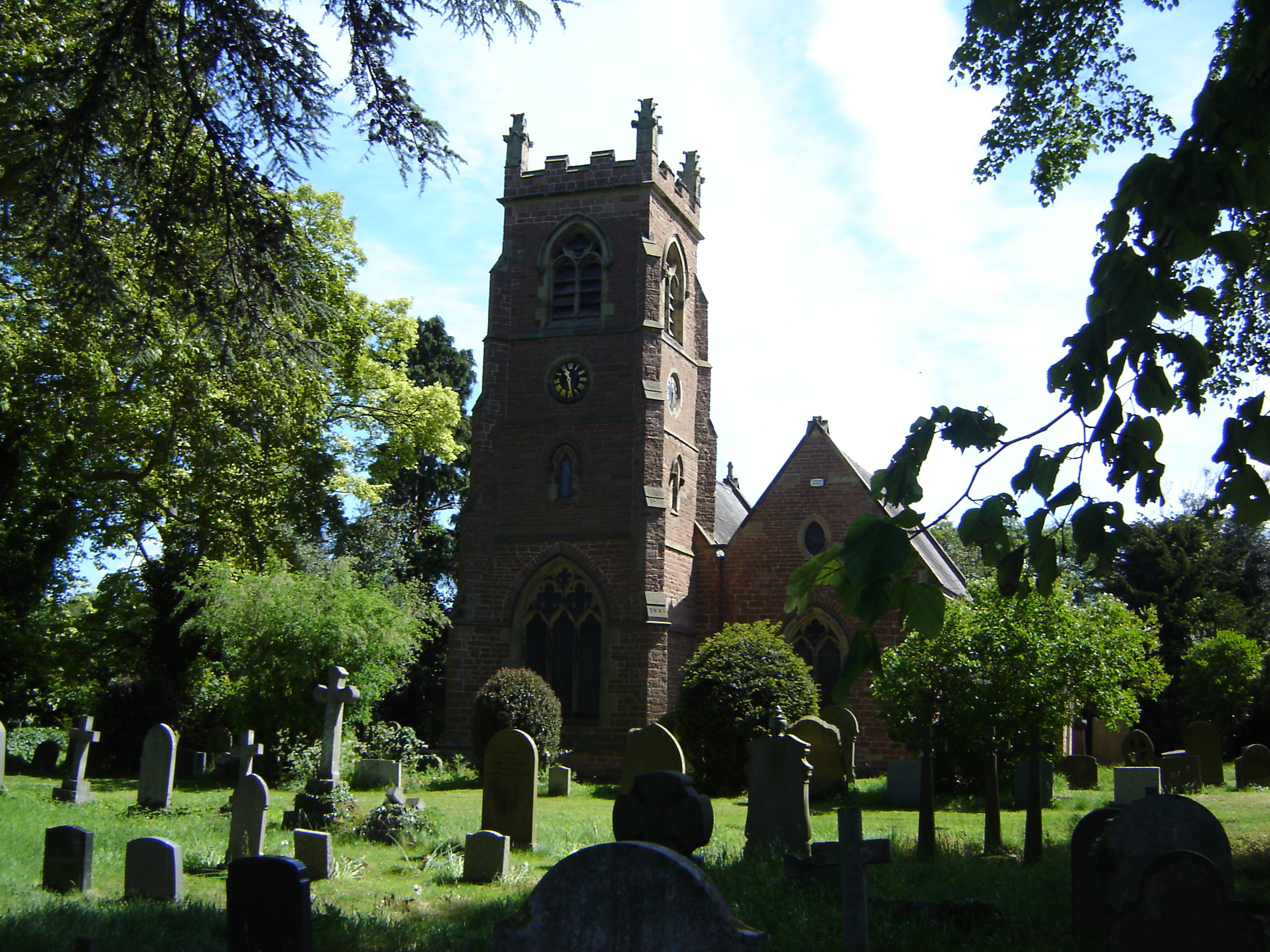
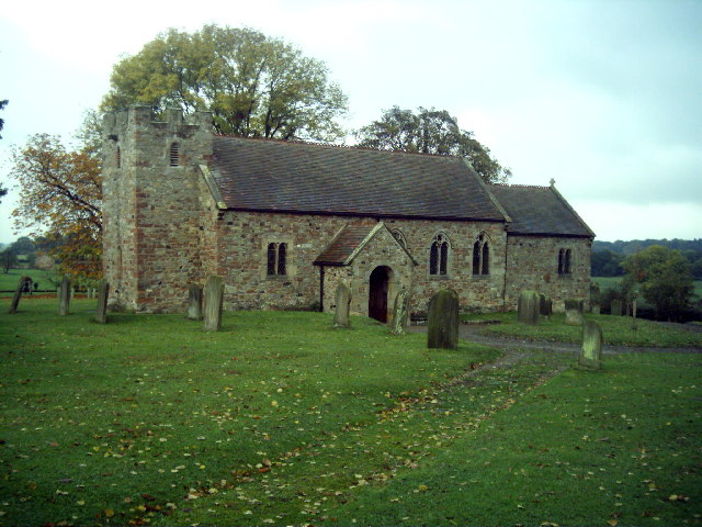
Mill Hill Images
Images are sourced within 2km of 54.481921/-1.4827559 or Grid Reference NZ3309. Thanks to Geograph Open Source API. All images are credited.


Mill Hill is located at Grid Ref: NZ3309 (Lat: 54.481921, Lng: -1.4827559)
Unitary Authority: Darlington
Police Authority: Durham
What 3 Words
///resolves.duplicity.lance. Near Hurworth, Co. Durham
Nearby Locations
Related Wikis

Neasham
Neasham is a village approximately four miles to the south east of Darlington in County Durham, England. == Geography and recreation == The village sits...

Neasham Priory
Neasham Priory is a priory founded for a community of Benedictine nuns before 1157. Located on the River Tees near Sockburn, County Durham, it was the...
Low Dinsdale Manor
Low Dinsdale Manor is a privately owned, much altered, and extended medieval moated fortified manor house situated on the north bank of the River Tees...
Low Dinsdale
Low Dinsdale is a village and former civil parish, now in the parish of Neasham, in the borough of Darlington and the ceremonial county of Durham, England...
Neasham Fen
Neasham Fen is a Site of Special Scientific Interest in the Darlington district of County Durham, England. It lies on the floodplain of the River Tees...
Eryholme
Eryholme is a village and civil parish in the district of Richmondshire in North Yorkshire, England. As the population remained less than 100 in the 2011...
Croft Rural District
Croft was a rural district in the North Riding of Yorkshire from 1894 to 1974. It was created under the Local Government Act 1894 from that part of the...

Over Dinsdale
Over Dinsdale is a small village and civil parish in the former Local Government District of Hambleton in North Yorkshire, England. The population of the...
Nearby Amenities
Located within 500m of 54.481921,-1.4827559Have you been to Mill Hill?
Leave your review of Mill Hill below (or comments, questions and feedback).