Brick Ponds
Lake, Pool, Pond, Freshwater Marsh in Durham
England
Brick Ponds

Brick Ponds is a picturesque freshwater ecosystem situated in Durham, England. Covering an approximate area of 25 hectares, the site is comprised of four distinct bodies of water: a lake, a pool, a pond, and a freshwater marsh. Each of these elements contributes to the overall ecological diversity and aesthetic appeal of the area.
The largest feature of Brick Ponds is the lake, which spans across approximately 10 hectares. It provides a serene and tranquil environment, attracting various species of waterfowl, including ducks, swans, and geese. The lake is surrounded by lush vegetation, offering a peaceful retreat for visitors and a suitable habitat for small mammals and amphibians.
Adjacent to the lake lies a pool, a smaller body of water that serves as a breeding ground for several species of fish, such as roach, carp, and perch. Anglers often frequent this area to enjoy the sport of fishing.
Further into the site, visitors will discover a pond, which is home to an array of aquatic plants and invertebrates. This habitat is particularly important for dragonflies and damselflies, as well as other insects that rely on water sources for their lifecycle.
Lastly, the freshwater marsh, situated at the southwest corner of Brick Ponds, supports a diverse range of wetland plants, such as reeds and sedges. This marshland provides a suitable environment for various bird species, including wading birds and waterfowl, offering opportunities for birdwatching enthusiasts.
Overall, Brick Ponds in Durham serves as a valuable natural habitat and recreational space, attracting both wildlife and visitors alike. Its diverse water features and surrounding vegetation make it an idyllic location for nature enthusiasts, anglers, and those seeking tranquility in the heart of Durham.
If you have any feedback on the listing, please let us know in the comments section below.
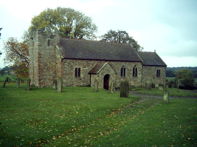
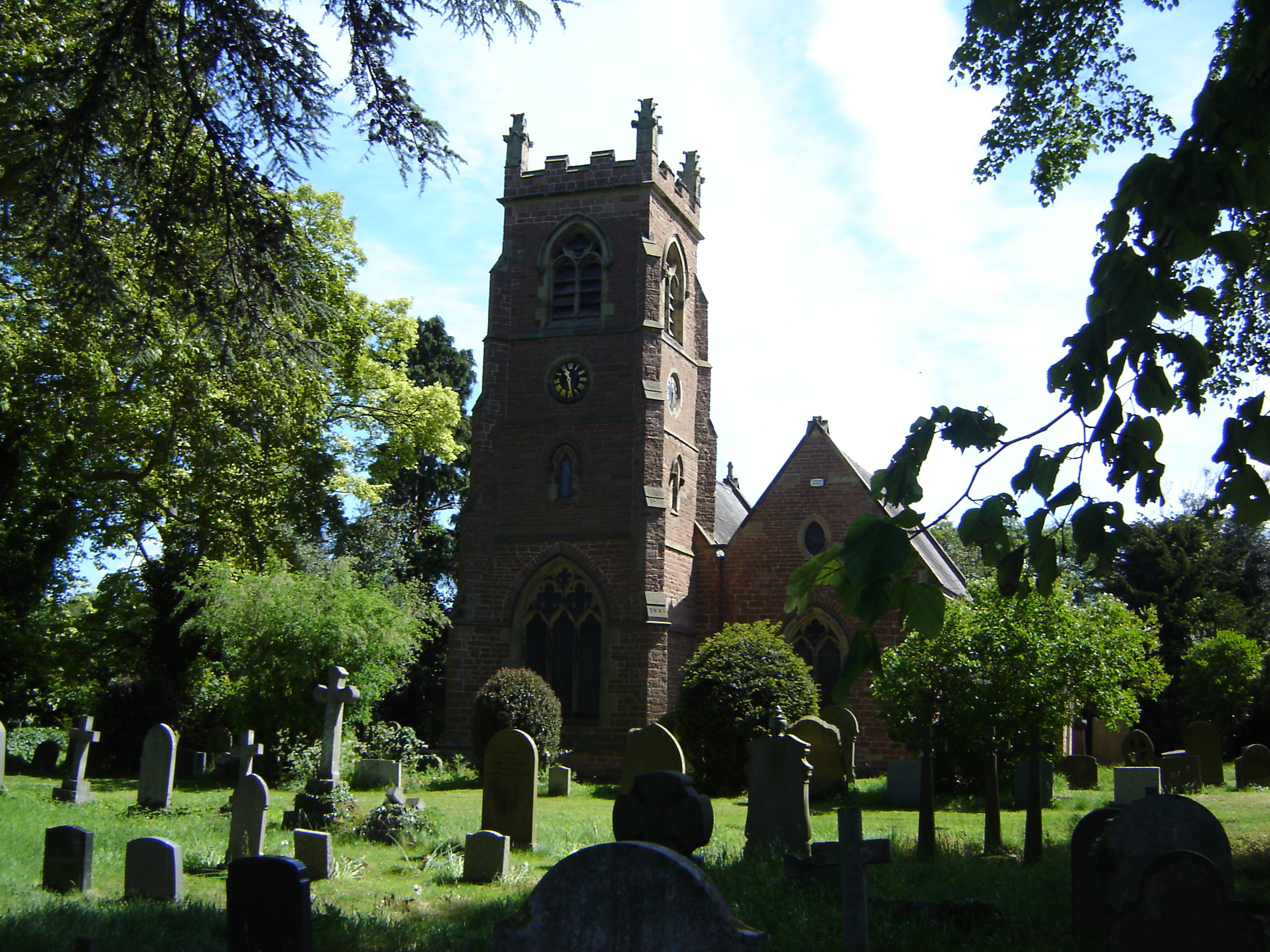
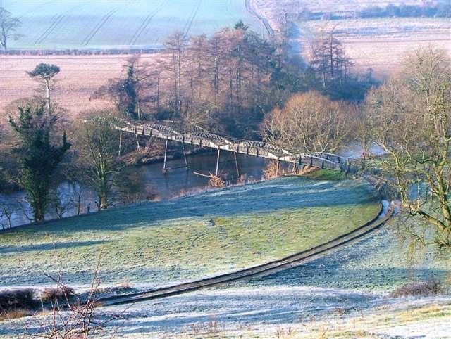
Brick Ponds Images
Images are sourced within 2km of 54.478546/-1.4836627 or Grid Reference NZ3309. Thanks to Geograph Open Source API. All images are credited.


Brick Ponds is located at Grid Ref: NZ3309 (Lat: 54.478546, Lng: -1.4836627)
Unitary Authority: Darlington
Police Authority: Durham
What 3 Words
///estimated.september.plans. Near Hurworth, Co. Durham
Nearby Locations
Related Wikis

Neasham
Neasham is a village approximately four miles to the south east of Darlington in County Durham, England. == Geography and recreation == The village sits...

Neasham Priory
Neasham Priory is a priory founded for a community of Benedictine nuns before 1157. Located on the River Tees near Sockburn, County Durham, it was the...
Eryholme
Eryholme is a village and civil parish in the district of Richmondshire in North Yorkshire, England. As the population remained less than 100 in the 2011...
Low Dinsdale Manor
Low Dinsdale Manor is a privately owned, much altered, and extended medieval moated fortified manor house situated on the north bank of the River Tees...
Low Dinsdale
Low Dinsdale is a village and former civil parish, now in the parish of Neasham, in the borough of Darlington and the ceremonial county of Durham, England...
Neasham Fen
Neasham Fen is a Site of Special Scientific Interest in the Darlington district of County Durham, England. It lies on the floodplain of the River Tees...
Girsby
Girsby is a village and civil parish in the former Hambleton District of North Yorkshire, England. The village lies on high ground on the eastern bank...

Sockburn
Sockburn is a village and former civil parish, now in the parish of Neasham, in the Darlington district, in the ceremonial county of Durham, England. It...
Nearby Amenities
Located within 500m of 54.478546,-1.4836627Have you been to Brick Ponds?
Leave your review of Brick Ponds below (or comments, questions and feedback).