Haarwell Hill

Hill, Mountain in Shetland

Scotland

Haarwell Hill

Aith Lifeboat and Lifeboat Station, Shetland Islands A view of the Severn Class Aith Lifeboat Charles Lidbury and Lifeboat Station in the background. Currently moored on the deep water jetty in St Magnus Bay. Aith Lifeboat station is the most northerly in the British Isles.
Aith Lifeboat and Lifeboat Station, Shetland Islands Credit: Mr S Mudgey

The requested URL returned error: 429 Too Many Requests

If you have any feedback on the listing, please let us know in the comments section below.

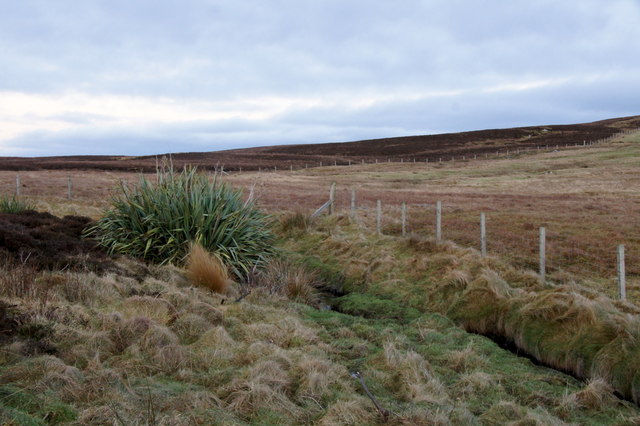
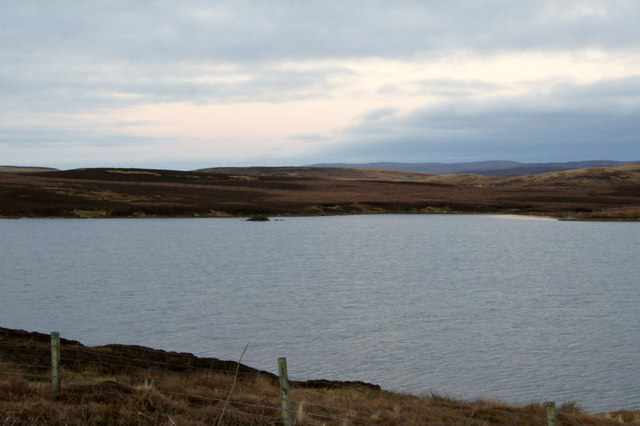
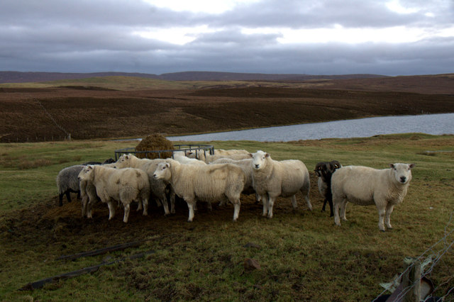
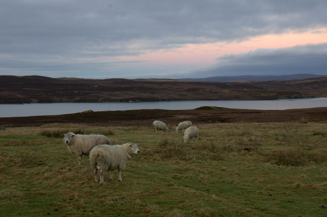
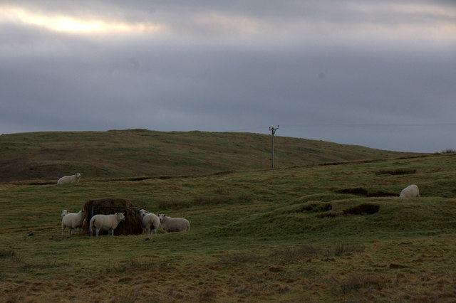
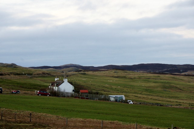
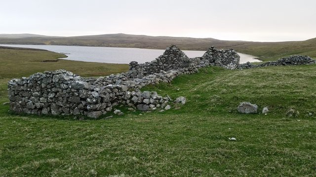
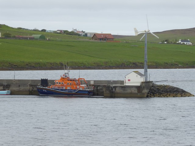
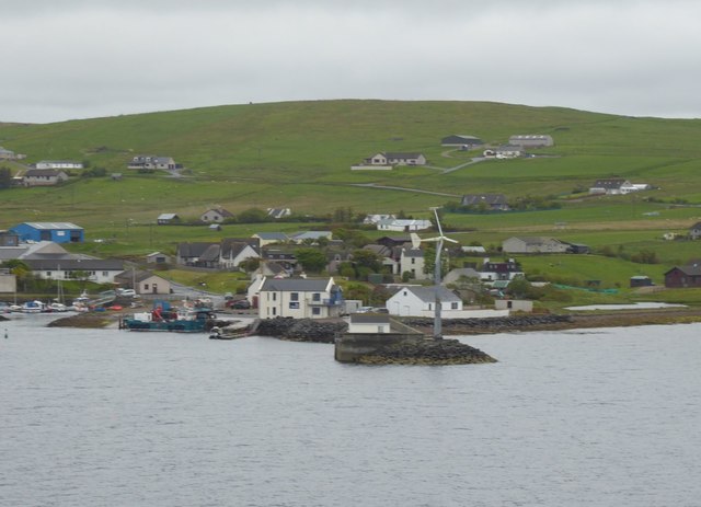
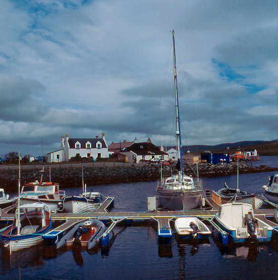
Haarwell Hill Images

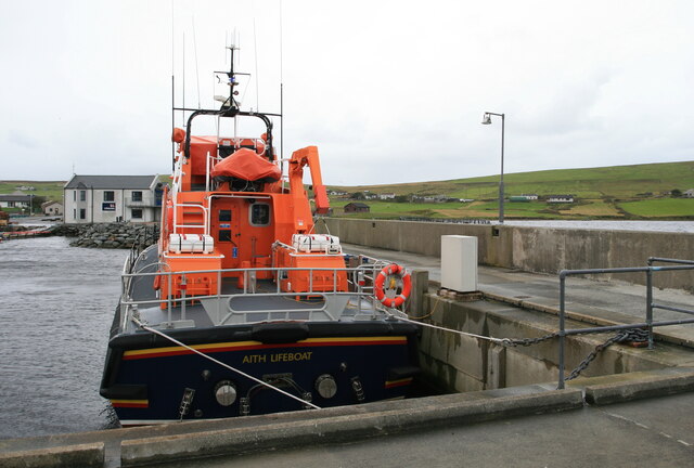
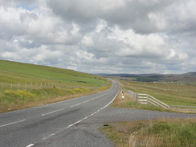
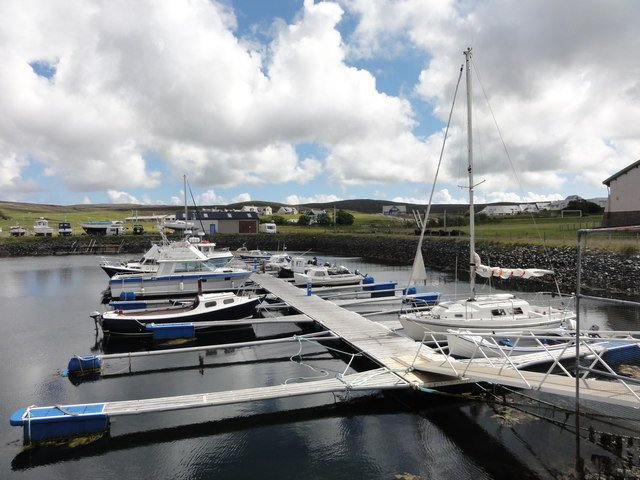
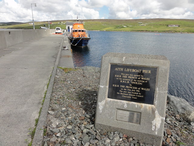
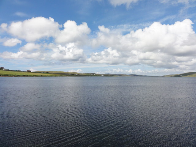
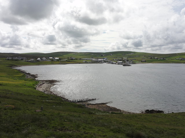
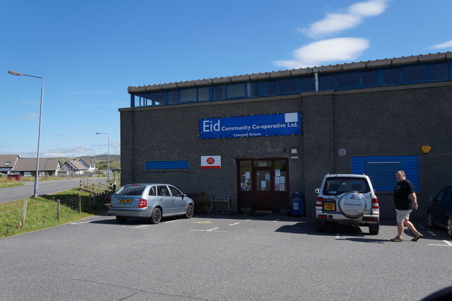
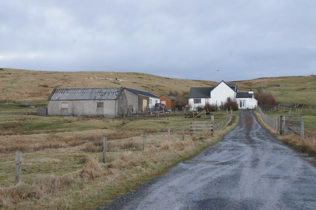
Images are sourced within 2km of 60.280716/-1.3938098 or Grid Reference HU3355. Thanks to Geograph Open Source API. All images are credited.

Aith Lifeboat and Lifeboat Station, Shetland Islands A view of the Severn Class Aith Lifeboat Charles Lidbury and Lifeboat Station in the background. Currently moored on the deep water jetty in St Magnus Bay. Aith Lifeboat station is the most northerly in the British Isles.
Aith Lifeboat and Lifeboat Station, Shetland Islands
A view of the Severn Class Aith Lifeboat Charles Lidbury and Lifeboat Station in the background. Currently moored on the deep water jetty in St Magnus Bay. Aith Lifeboat station is the most northerly in the British Isles.
B9071 road View of the B9071 road
B9071 road
View of the B9071 road
Aith Marina The Marina at Aith
Aith Marina
The Marina at Aith
Aith Lifeboat Pier Aith Lifeboat Pier with a commemorative plaque reading that it was opened by HRH Princess of Wales.
Aith Lifeboat Pier
Aith Lifeboat Pier with a commemorative plaque reading that it was opened by HRH Princess of Wales.
Aith Voe View out over Aith Voe from the lifeboat station
Aith Voe
View out over Aith Voe from the lifeboat station
Aith Voe View across Aith Voe
Aith Voe
View across Aith Voe
View of Twatt Road through the village of Twatt
View of Twatt
Road through the village of Twatt
Eid Community Co-operative Ltd, Aith Eid is the original Viking name for Aith and has been adopted as the name for the local community run shop.
Eid Community Co-operative Ltd, Aith
Eid is the original Viking name for Aith and has been adopted as the name for the local community run shop.
Virdaskule, Bixter
Virdaskule, Bixter
Burn of Twatt
Burn of Twatt
Loch of North-house, near Twatt
Sheep near Greenmeadow, near Twatt
Sheep above Loch of Vaara, between Twatt and Clousta
Sheep near Greenmeadow, near Twatt
Greenmeadow, near Clousta
Croft at Collaster Croft of Collaster above the loch of the same name.
Croft at Collaster
Croft of Collaster above the loch of the same name.
Aith Lifeboat Station 'Operating for over 80 years, Aith is the most northerly lifeboat station providing protection off Shetland’s sometimes wild Atlantic coast.'  <span class="nowrap"><a title="https://rnli.org/find-my-nearest/lifeboat-stations/aith-lifeboat-station" rel="nofollow ugc noopener" href="https://rnli.org/find-my-nearest/lifeboat-stations/aith-lifeboat-station">Link</a><img style="margin-left:2px;" alt="External link" title="External link - shift click to open in new window" src="https://s1.geograph.org.uk/img/external.png" width="10" height="10"/></span>
At the head of Aith Voe.
Aith Lifeboat Station
'Operating for over 80 years, Aith is the most northerly lifeboat station providing protection off Shetland’s sometimes wild Atlantic coast.' LinkExternal link At the head of Aith Voe.
Wind turbine on the end of the pier At Aith. The lifeboat is absent.
Wind turbine on the end of the pier
At Aith. The lifeboat is absent.
Show me another place!

Haarwell Hill is located at Grid Ref: HU3355 (Lat: 60.280716, Lng: -1.3938098)

Unitary Authority: Shetland Islands

Police Authority: Highlands and Islands

What 3 Words

///talents.owns.vandalism. Near Aith, Shetland Islands

Nearby Locations

Haarwell Hill

Related Wikis

Aith

Aith, (Shetland dialect: Eid, Old Norse: Eið, meaning Isthmus, cf Eday), is a village on the Northern coast of the West Shetland Mainland, Scotland at...
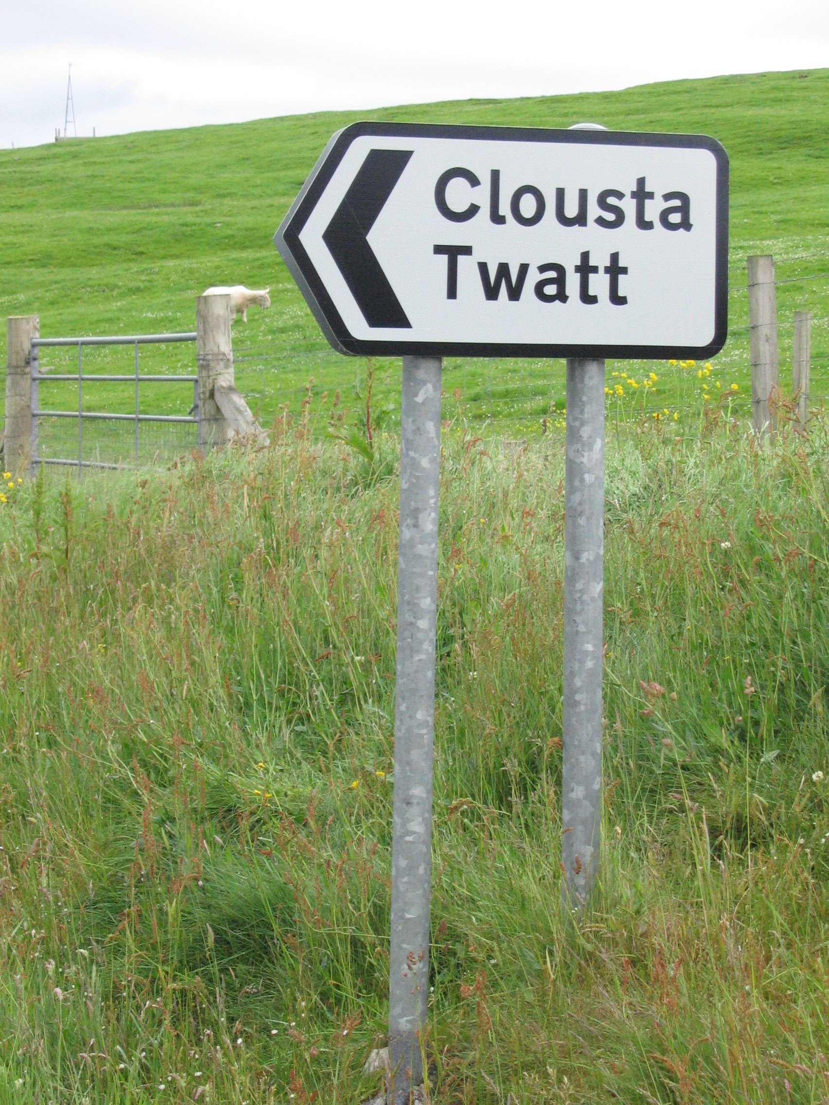
Twatt, Shetland

Twatt is a settlement in the Shetland Islands of Scotland. It is located on the Shetland Mainland on a minor road that leads from the A971 road to Clousta...

Braewick, Sandsting

Braewick is a settlement on the west Mainland of Shetland, Scotland. Braewick is on the western shore of Aith Voe and 1.2 mi (2 km) north of Aith itself...

Bixter

Bixter is a village on the west side of the Shetland Islands, located more than 160 km (99 mi) off the north coast of mainland Scotland. Bixter is a group...

Nearby Amenities

Located within 500m of 60.280716,-1.3938098
Power: pole
Lat/Long: 60.2826027/-1.3857884
Power: pole
Lat/Long: 60.2821102/-1.386031
Power: pole
Lat/Long: 60.2816061/-1.3862621
Power: pole
Lat/Long: 60.2809028/-1.3865948
Power: pole
Lat/Long: 60.2801914/-1.3870361
Power: pole
Lat/Long: 60.2795121/-1.387489
Power: pole
Lat/Long: 60.278858/-1.3879304
Power: pole
Lat/Long: 60.2783127/-1.3882516
Power: pole
Lat/Long: 60.2776402/-1.3886975
Power: pole
Lat/Long: 60.277112/-1.3890696
Power: pole
Lat/Long: 60.2815592/-1.38702
Power: pole
Lat/Long: 60.2814423/-1.3885034
Power: pole
Lat/Long: 60.2813679/-1.389437
Power: pole
Lat/Long: 60.2818295/-1.3897974
Power: pole
Lat/Long: 60.2822648/-1.3901463
Power: pole
Lat/Long: 60.2826417/-1.3904537
Power: pole
Lat/Long: 60.278874/-1.3886929
The data included in this document is from www.openstreetmap.org. The data is made available under ODbL.

Have you been to Haarwell Hill?

Leave your review of Haarwell Hill below (or comments, questions and feedback).