Mill Hill
Hill, Mountain in Yorkshire Harrogate
England
Mill Hill
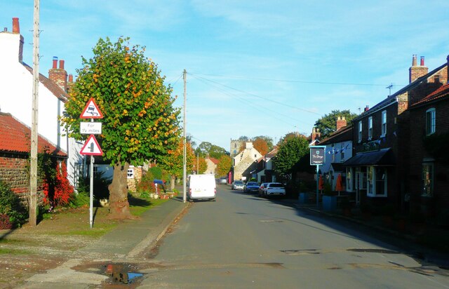
Mill Hill is a small village located in the county of Yorkshire, England. Situated on a hill, it offers picturesque views of the surrounding countryside and is known for its tranquil atmosphere. The village is part of the larger region of Mill Hill and is home to a population of approximately 500 residents.
The hill itself is a prominent feature of the area, rising to an elevation of 300 meters. It provides an ideal vantage point for visitors to enjoy the stunning vistas of the Yorkshire Dales and the nearby rolling hills. Mill Hill is a popular destination for hikers and nature enthusiasts, who can explore the numerous walking trails and scenic routes that crisscross the area.
The village itself has a rich history, dating back to medieval times. It retains much of its traditional charm, with many of the buildings constructed from local stone. The centerpiece of Mill Hill is the historic church, which dates back several centuries and is a focal point for the community.
Despite its small size, Mill Hill offers a range of amenities to its residents. These include a village hall, a primary school, and a few local shops and pubs. The village also hosts various community events throughout the year, such as fairs and festivals, which bring together residents and visitors alike.
Overall, Mill Hill, Yorkshire, is a picturesque village nestled on a hill, offering breathtaking views and a peaceful ambiance. With its rich history and natural beauty, it attracts those seeking a tranquil escape in the heart of the Yorkshire countryside.
If you have any feedback on the listing, please let us know in the comments section below.
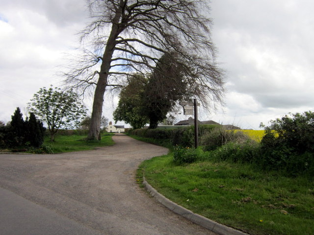
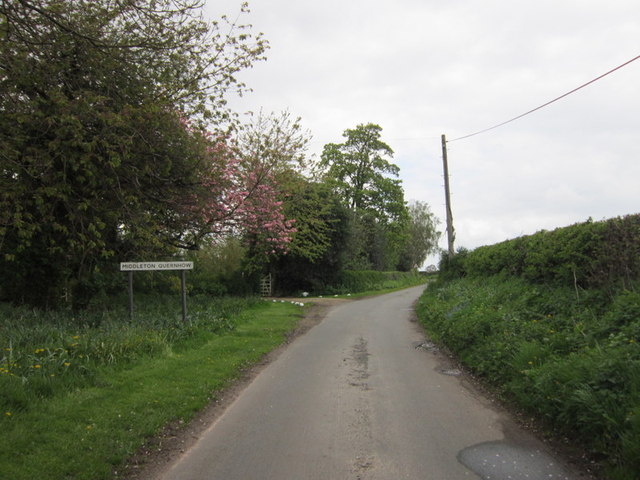
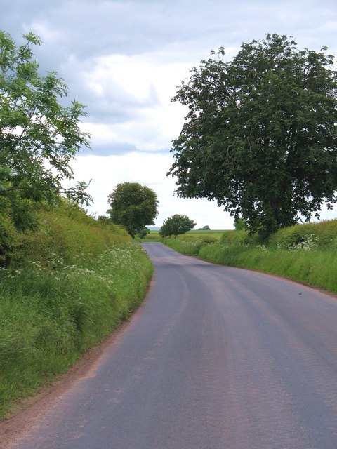
Mill Hill Images
Images are sourced within 2km of 54.188451/-1.4870067 or Grid Reference SE3377. Thanks to Geograph Open Source API. All images are credited.


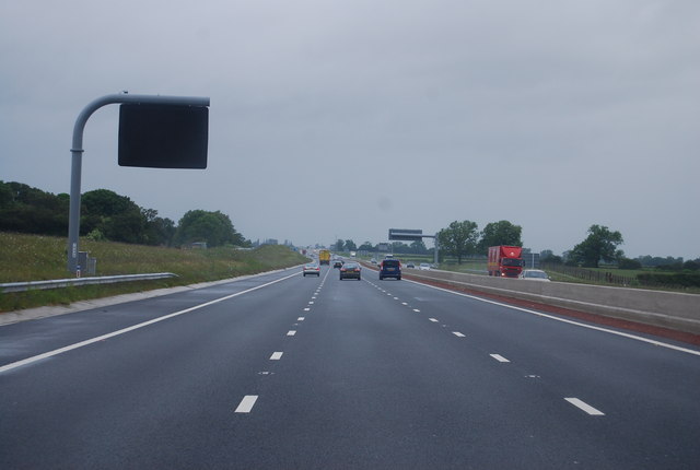
![A6055 near Melmerby The newly [2012] designated A6055 runs parallel to the new A1[M] motorway from the A61 to the A684 at Leeming, and uses the line of the old northbound carriageway of A1.](https://s0.geograph.org.uk/geophotos/02/99/03/2990332_d5df2501.jpg)

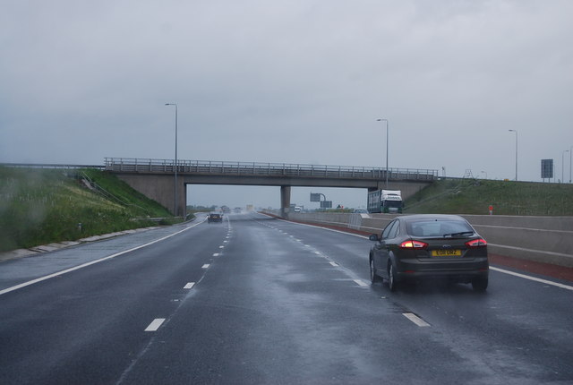

![A1[M] junction 50 The view north with the slip road from the A61 on the left. Left of this again, but hardly visible is the A6055, which uses sections of the old A1 carriageway to provide a service road parallel to the motorway.](https://s3.geograph.org.uk/geophotos/03/14/58/3145891_0c5e14e4.jpg)
Mill Hill is located at Grid Ref: SE3377 (Lat: 54.188451, Lng: -1.4870067)
Division: North Riding
Administrative County: North Yorkshire
District: Harrogate
Police Authority: North Yorkshire
What 3 Words
///bleak.thudding.corrosive. Near Ripon, North Yorkshire
Nearby Locations
Related Wikis
Melmerby, Harrogate
Melmerby is a village and civil parish in North Yorkshire, England, that lies 3.7 miles (6 km) north of Ripon and 0.6 miles (1 km) west of the A1(M) motorway...

Melmerby railway station
Melmerby railway station was a railway station and junction in North Yorkshire, England. It had one main line going south to Ripon and Harrogate and one...
Wath (near Ripon)
Wath (alias Wath-by-Ripon) is a village and civil parish 3.7 miles (6 km) north of Ripon in North Yorkshire, England. The population of the parish was...
Wath Rural District
Wath Rural District was a rural district in the North Riding of Yorkshire from 1894 to 1974. It was created in 1894 from that part of the Ripon rural...

Middleton Quernhow
Middleton Quernhow is a settlement and civil parish in North Yorkshire, England. The parish is included in the Wathvale Ward with a population of 3,479...
Norton Conyers
Norton Conyers is a civil parish in North Yorkshire, England, 3 miles (5 km) north of Ripon. There is no modern village in the parish. Most of the parish...

Norton Conyers House
Norton Conyers House is a grade II* listed late medieval manor house with Stuart and Georgian additions sited in North Yorkshire, England, some 4 miles...

Baldersby railway station
Baldersby railway station was a railway station serving the village of Baldersby in North Yorkshire, England. It was located on a line from Melmerby, north...
Nearby Amenities
Located within 500m of 54.188451,-1.4870067Have you been to Mill Hill?
Leave your review of Mill Hill below (or comments, questions and feedback).