Brooke's Hill
Hill, Mountain in Hampshire New Forest
England
Brooke's Hill

Brooke's Hill, located in Hampshire, is a picturesque hill that offers breathtaking views of the surrounding countryside. Situated in the southern region of England, this hill is a popular destination for nature enthusiasts and hikers alike.
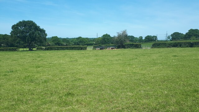
Rising to an elevation of approximately 300 meters, Brooke's Hill is often referred to as a small mountain due to its size and prominence in the area. It is part of the Hampshire Downs, a range of chalk hills that span across the county. The hill is characterized by its gentle slopes covered in lush greenery, providing a serene and idyllic setting for visitors.
The area surrounding Brooke's Hill is rich in biodiversity, with various species of plants and animals calling it home. The hill is dotted with ancient woodlands, wildflower meadows, and tranquil streams, making it a haven for flora and fauna. It is not uncommon to spot grazing sheep or deer while exploring the hill.
The summit of Brooke's Hill offers panoramic views of the Hampshire countryside, with rolling hills and charming villages stretching out as far as the eye can see. On clear days, visitors can even catch a glimpse of the distant coastline.
The hill is a popular destination for outdoor activities such as hiking, walking, and picnicking. Several well-maintained trails crisscross the area, providing opportunities for visitors to discover the natural beauty of Brooke's Hill at their own pace.
Overall, Brooke's Hill is a captivating natural landmark in Hampshire, offering a peaceful escape from the hustle and bustle of everyday life. Its stunning vistas and tranquil surroundings make it a must-visit destination for those seeking a connection with nature.
If you have any feedback on the listing, please let us know in the comments section below.
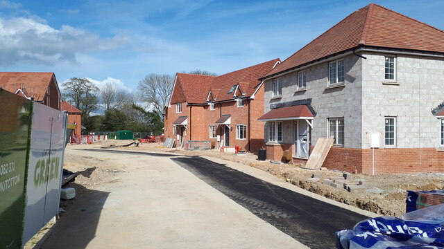
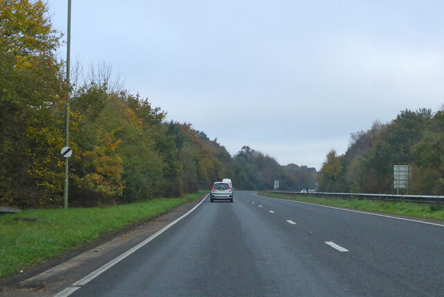
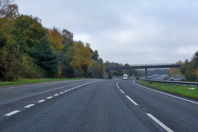
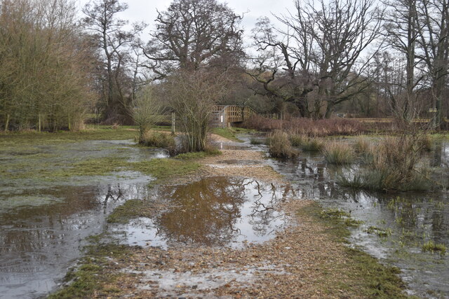
Brooke's Hill Images
Images are sourced within 2km of 50.941848/-1.5234131 or Grid Reference SU3315. Thanks to Geograph Open Source API. All images are credited.


Brooke's Hill is located at Grid Ref: SU3315 (Lat: 50.941848, Lng: -1.5234131)
Administrative County: Hampshire
District: New Forest
Police Authority: Hampshire
What 3 Words
///bottom.offstage.fall. Near Totton, Hampshire
Related Wikis

Tatchbury Mount Hospital
Tatchbury Mount Hospital is a health facility to the north of Totton, Hampshire, England. It is owned and managed by Southern Health NHS Foundation Trust...

A.F.C. Totton
Amalgamated Football Club Totton is a football club based in Totton, Hampshire, England. The club is affiliated to the Hampshire Football Association and...

Testwood Lakes
Testwood Lakes is a 55-hectare (140-acre) nature reserve on the northwest edge of Southampton in Hampshire, England. It is managed by the Hampshire and...
Ower
Ower is a hamlet in the New Forest district of Hampshire, England. Its nearest towns are Totton – approximately 3 miles (4.8 km) to the southeast, and...

Storm Chaser (Paultons Park)
Storm Chaser is a steel spinning roller coaster located at Paultons Park in Hampshire, England. The coaster debuted alongside the new £12 million Tornado...

Paultons Park
Paultons Park is an amusement park located in the New Forest National Park, near the village of Ower, in Hampshire, England, with over 70 rides and attractions...

Totton College
Totton College is a further education college located in Totton, Hampshire, providing courses for mainly 16- to 19-year-olds as well as adult education...

Copythorne Common
Copythorne Common is a 17-hectare (42-acre) nature reserve west of Southampton in Hampshire. It is managed by the Hampshire and Isle of Wight Wildlife...
Related Videos

Peppa Pig Park | England, UK #travel #shorts
Peppa Pig Park | England, UK #travel #shorts #manda4u #travel #shortsvideo #youtubeshorts #uk #manda4u #beautiful #peppa ...

Paultons Park full tour with Review. Summer holiday theme parks.
Hello Everyone! Another vlog to show you this theme park and give my honest review and tour around the park. Hope you all ...


Peppa Pig World: Southampton, UK | Full-Time Travel Family
In this video, we take you along as we surprise our girls with a trip to Peppa Pig World at Paulton's Park in Southampton. We ride ...
Nearby Amenities
Located within 500m of 50.941848,-1.5234131Have you been to Brooke's Hill?
Leave your review of Brooke's Hill below (or comments, questions and feedback).