Cow Close Hill
Hill, Mountain in Yorkshire Harrogate
England
Cow Close Hill
Cow Close Hill is a prominent hill located in the county of Yorkshire, England. Situated in the Yorkshire Dales National Park, it forms part of the Pennine Range, renowned for its rugged beauty and diverse landscapes. With an elevation of approximately 1,778 feet (542 meters), Cow Close Hill offers breathtaking panoramic views of the surrounding countryside.
The hill is characterized by its distinctive limestone formations, which have been shaped over thousands of years by the forces of nature. These formations, known as karst features, include crags, gorges, and underground caves, adding to the allure of the area. The hill is also home to a variety of flora and fauna, including rare plant species and birds such as curlews and lapwings.
Cow Close Hill is a popular destination for outdoor enthusiasts, attracting hikers, climbers, and nature lovers from far and wide. Several well-marked trails traverse the hill, providing opportunities for both leisurely walks and more challenging hikes. As visitors ascend the hill, they can admire the breathtaking vistas of rolling hills, valleys, and picturesque villages that dot the landscape.
The hill's location within the Yorkshire Dales National Park ensures that it remains relatively unspoiled and offers a tranquil retreat from the hustle and bustle of urban life. Its natural beauty and rich biodiversity make Cow Close Hill an important conservation area, protected for future generations to enjoy.
Overall, Cow Close Hill stands as a testament to the stunning natural landscapes and outdoor recreational opportunities that Yorkshire has to offer.
If you have any feedback on the listing, please let us know in the comments section below.
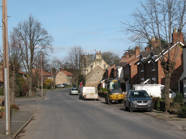
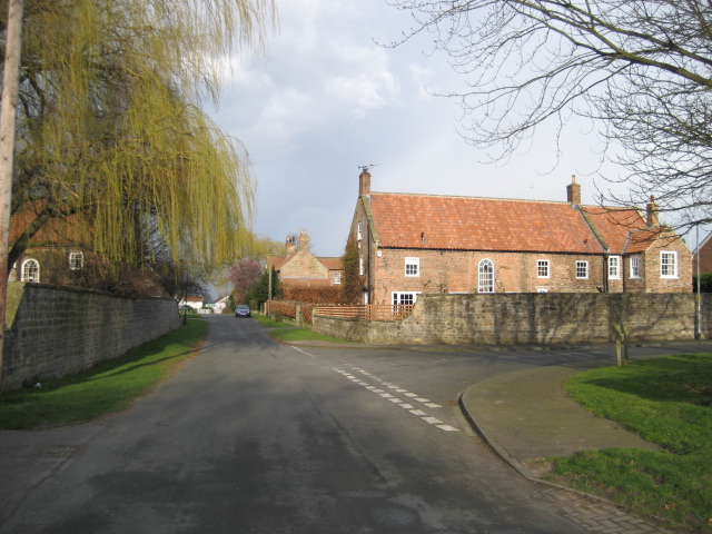
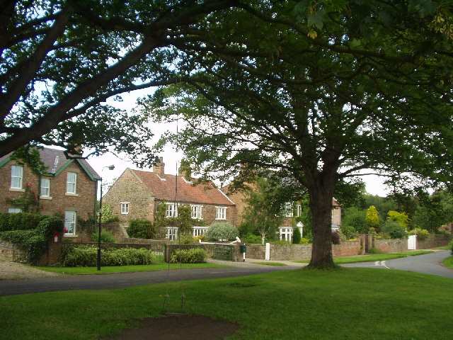
Cow Close Hill Images
Images are sourced within 2km of 54.19689/-1.4869022 or Grid Reference SE3378. Thanks to Geograph Open Source API. All images are credited.


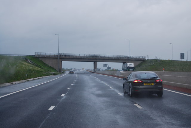
![A6055 near Melmerby The old A1 is no more, and what was the northbound carriageway is now the A6055 service road. The new A1[M] motorway is over the bank to the right.](https://s3.geograph.org.uk/geophotos/02/99/02/2990295_c1e4e0f1.jpg)
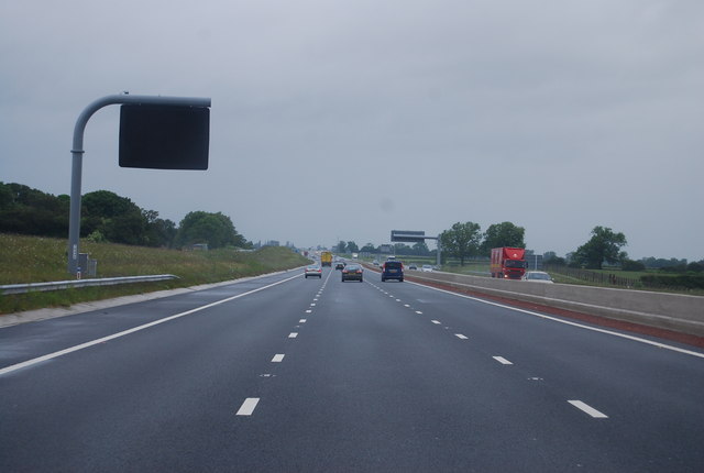
![A6055 near Melmerby The newly [2012] designated A6055 runs parallel to the new A1[M] motorway from the A61 to the A684 at Leeming, and uses the line of the old northbound carriageway of A1.](https://s0.geograph.org.uk/geophotos/02/99/03/2990332_d5df2501.jpg)


Cow Close Hill is located at Grid Ref: SE3378 (Lat: 54.19689, Lng: -1.4869022)
Division: North Riding
Administrative County: North Yorkshire
District: Harrogate
Police Authority: North Yorkshire
What 3 Words
///shrimp.studs.sits. Near Ripon, North Yorkshire
Nearby Locations
Related Wikis

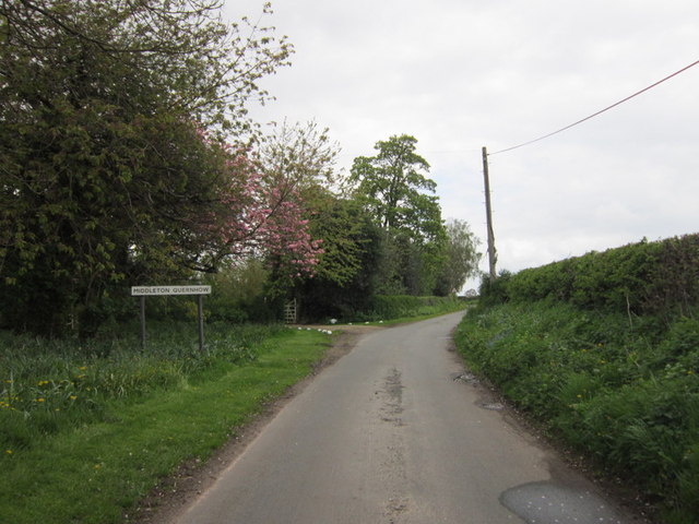
Middleton Quernhow
Middleton Quernhow is a settlement and civil parish in North Yorkshire, England. The parish is included in the Wathvale Ward with a population of 3,479...
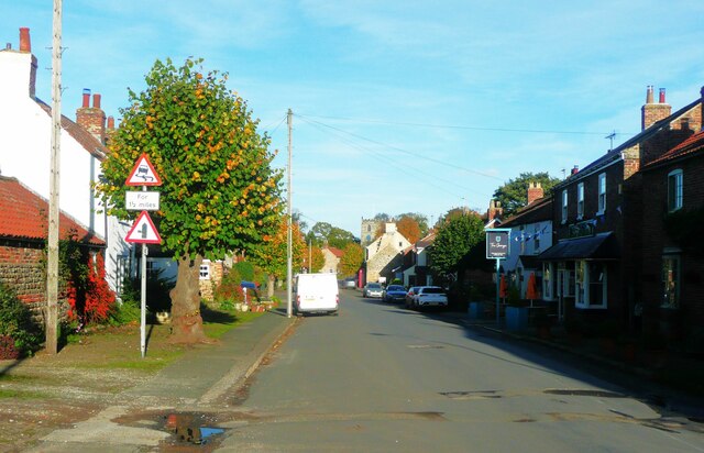
Melmerby, Harrogate
Melmerby is a village and civil parish in North Yorkshire, England, that lies 3.7 miles (6 km) north of Ripon and 0.6 miles (1 km) west of the A1(M) motorway...

Melmerby railway station
Melmerby railway station was a railway station and junction in North Yorkshire, England. It had one main line going south to Ripon and Harrogate and one...
Wath (near Ripon)
Wath (alias Wath-by-Ripon) is a village and civil parish 3.7 miles (6 km) north of Ripon in North Yorkshire, England. The population of the parish was...
Wath Rural District
Wath Rural District was a rural district in the North Riding of Yorkshire from 1894 to 1974. It was created in 1894 from that part of the Ripon rural...

Baldersby railway station
Baldersby railway station was a railway station serving the village of Baldersby in North Yorkshire, England. It was located on a line from Melmerby, north...
Baldersby
Baldersby is a village and civil parish in North Yorkshire, England, about 6 miles (10 km) west of Thirsk and 5 miles (8 km) north-east of Ripon on the...
Sutton Howgrave
Sutton Howgrave is a village in North Yorkshire, England. It is the only village in the civil parish of Sutton with Howgrave. The population of the parish...
Nearby Amenities
Located within 500m of 54.19689,-1.4869022Have you been to Cow Close Hill?
Leave your review of Cow Close Hill below (or comments, questions and feedback).