Ailcey Hill
Hill, Mountain in Yorkshire Harrogate
England
Ailcey Hill
Ailcey Hill, located in the county of Yorkshire, England, is a prominent hill and popular tourist attraction in the region. Standing at an elevation of approximately 224 meters (734 feet), it is considered one of the highest points in the area and offers breathtaking views of the surrounding countryside.
Situated in the Yorkshire Dales National Park, Ailcey Hill boasts a diverse landscape characterized by rolling hills, picturesque valleys, and lush green meadows. The hill is covered with a variety of vegetation, including heather, grasses, and wildflowers, providing a vibrant and colorful scenery throughout the year.
The hill is accessible via several footpaths and trails, making it a favorite destination for hikers, nature enthusiasts, and photographers. The climb to the summit is relatively moderate, making it suitable for individuals of various fitness levels. Upon reaching the top, visitors are rewarded with panoramic views of the Yorkshire Dales, with its patchwork of fields and quaint villages nestled in the distance.
Aside from its natural beauty, Ailcey Hill also holds historical significance. The remains of an Iron Age hillfort, believed to have been built around 400 BC, can be found on the hill's summit. These ancient fortifications provide insights into the region's past and attract history buffs and archaeology enthusiasts.
Overall, Ailcey Hill offers a peaceful and idyllic setting for those seeking a connection with nature, breathtaking vistas, and a glimpse into Yorkshire's rich history. It is a must-visit destination for anyone exploring the beauty of the Yorkshire Dales.
If you have any feedback on the listing, please let us know in the comments section below.
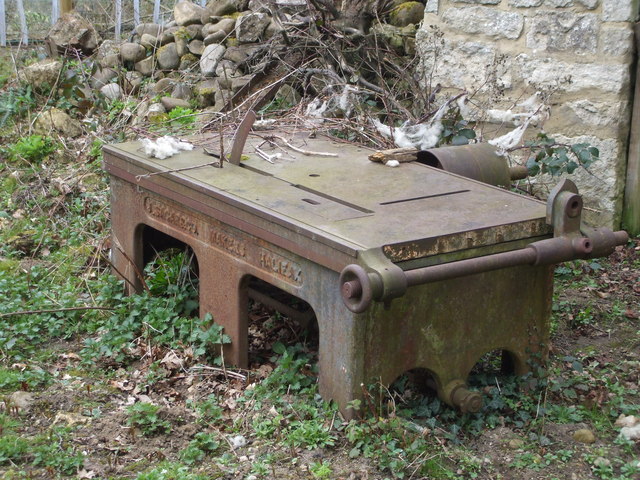
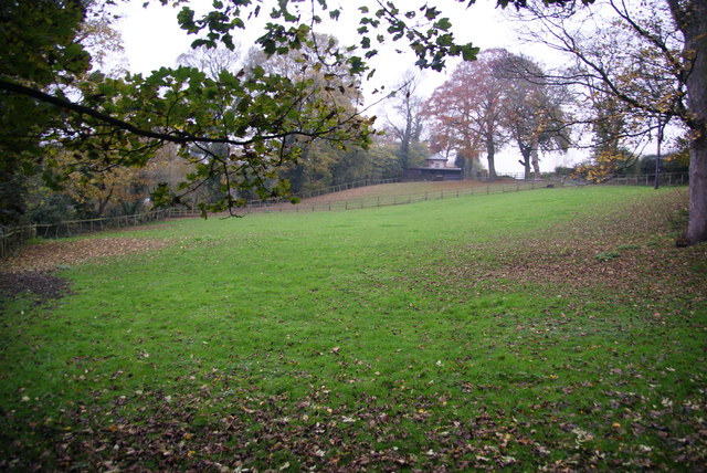
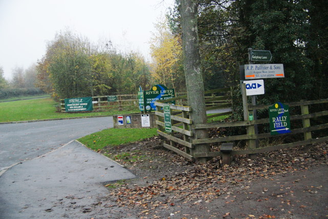
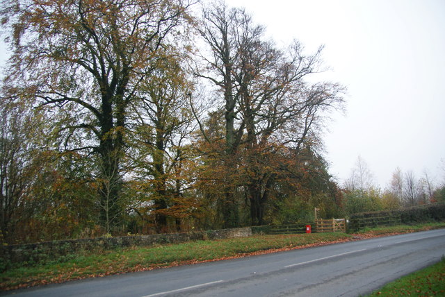
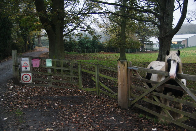
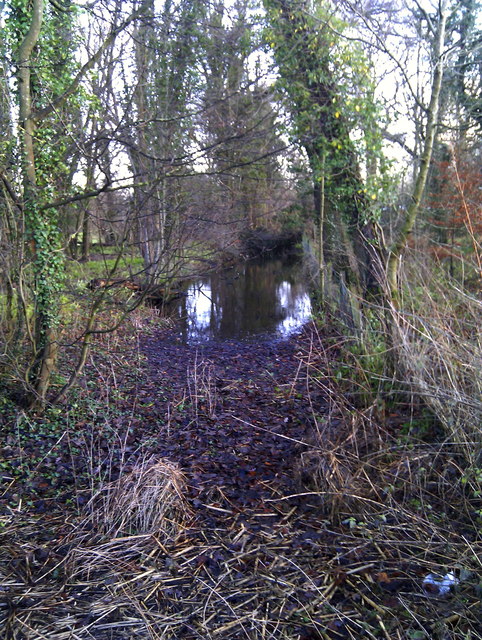
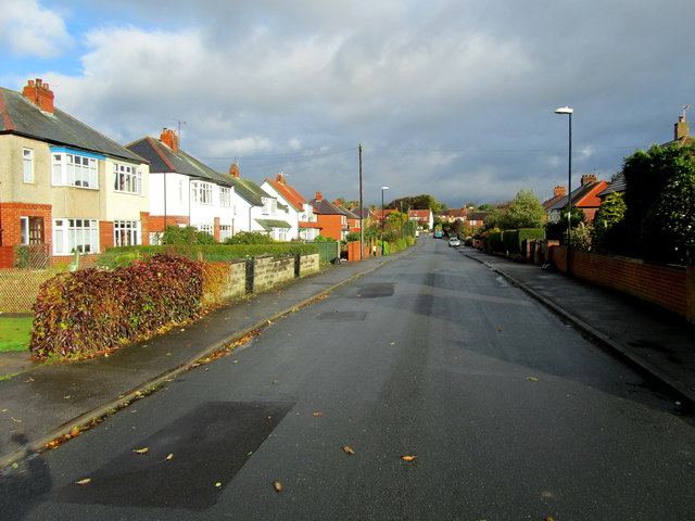
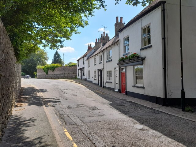
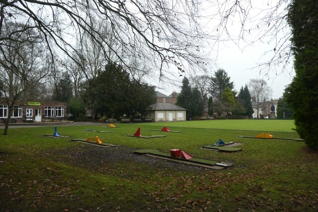
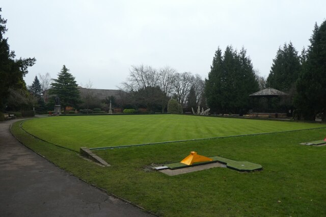
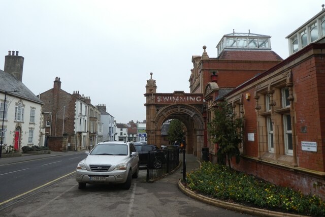
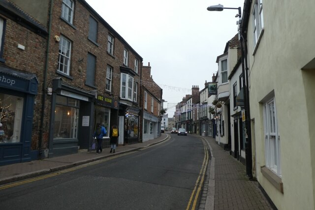
Ailcey Hill Images
Images are sourced within 2km of 54.135973/-1.5153729 or Grid Reference SE3171. Thanks to Geograph Open Source API. All images are credited.
Ailcey Hill is located at Grid Ref: SE3171 (Lat: 54.135973, Lng: -1.5153729)
Division: West Riding
Administrative County: North Yorkshire
District: Harrogate
Police Authority: North Yorkshire
What 3 Words
///multiples.lawn.blanks. Near Ripon, North Yorkshire
Nearby Locations
Related Wikis
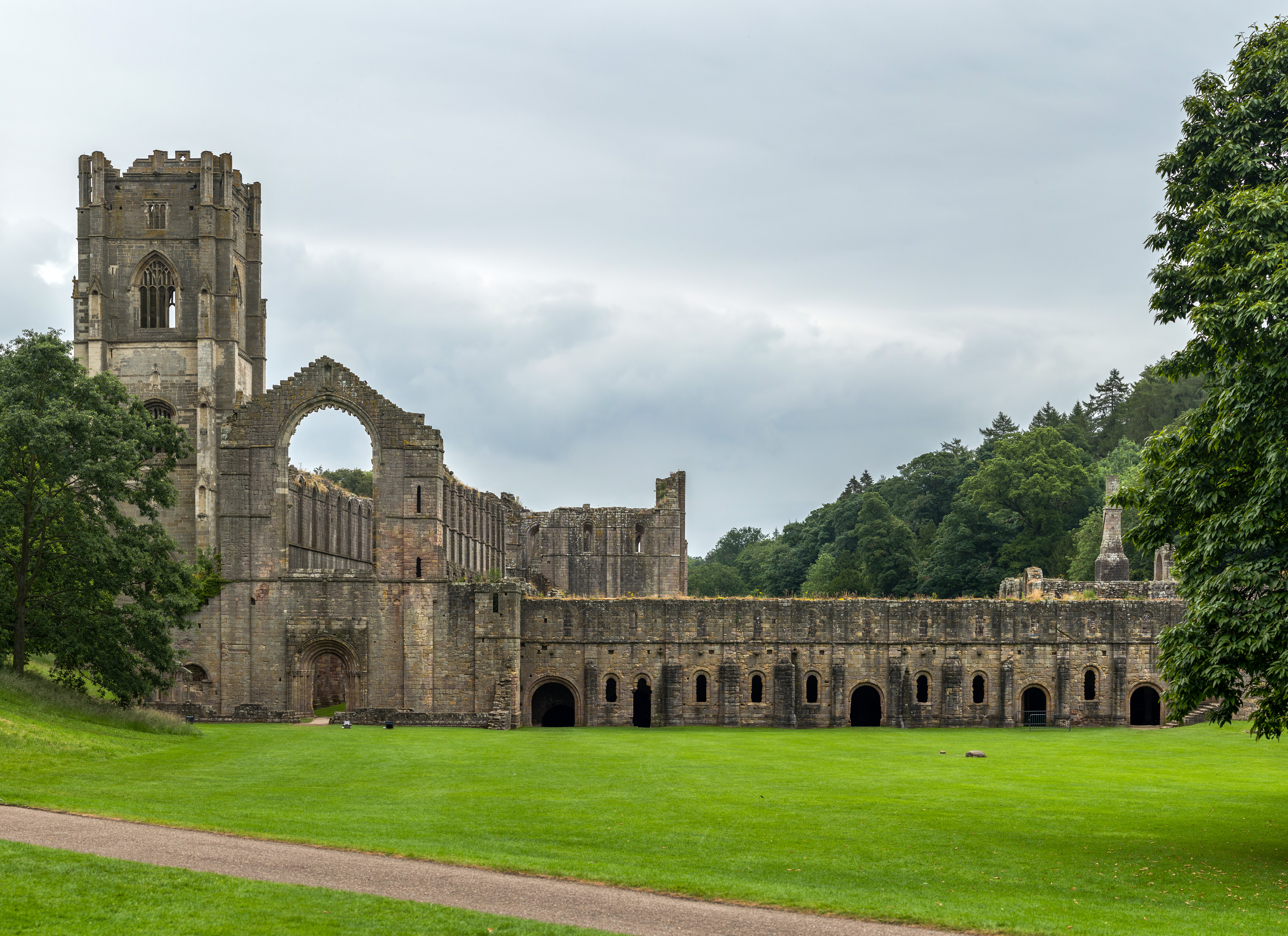
Abbeys Amble
The Abbeys Amble is a long-distance path in North Yorkshire, England. It is a circular walk of 104 miles (167 km), based on Ripon. It links three abbeys...

Diocese of Ripon
The Diocese of Ripon (Diocese of Ripon and Leeds from 1999 until 2014) was a former Church of England diocese, part of the Province of York. Immediately...
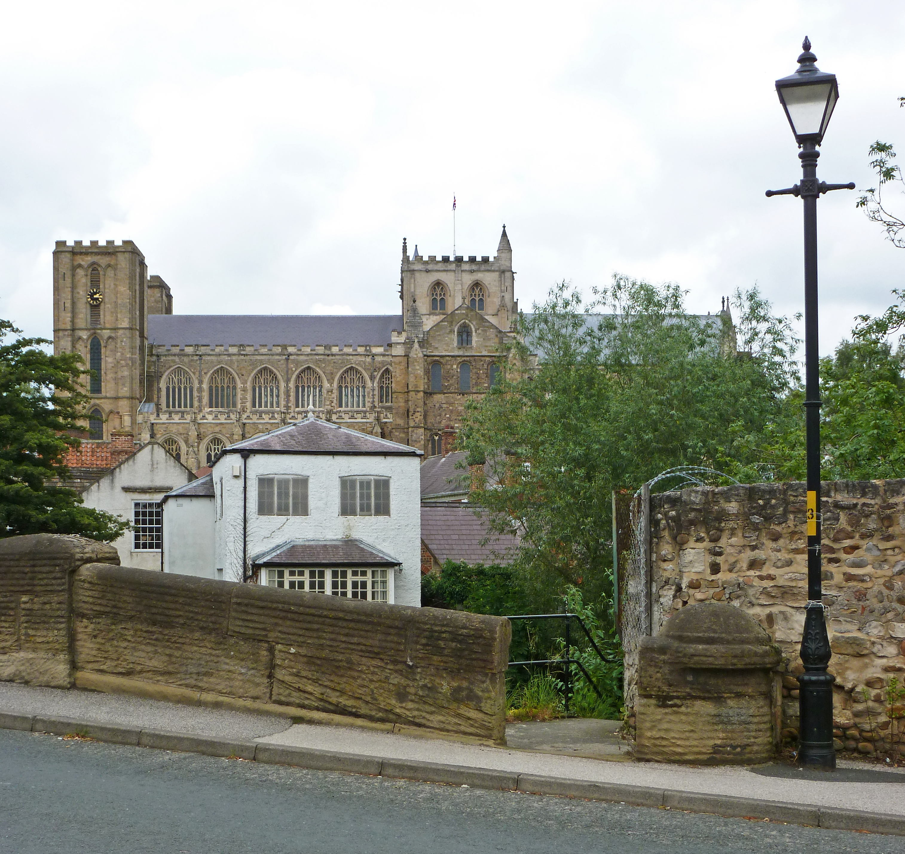
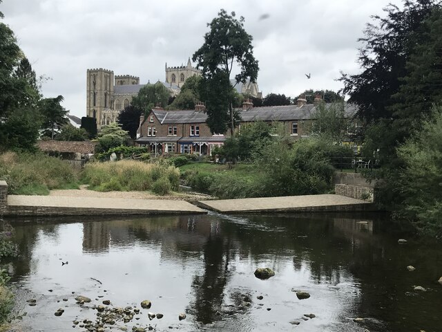
Ripon Cathedral
The Cathedral Church of St Peter and St Wilfrid, commonly known as Ripon Cathedral, and until 1836 known as Ripon Minster, is a cathedral in Ripon, North...

Ripon Canal
The Ripon Canal is located in North Yorkshire, England. It was built by the canal engineer William Jessop to link the city of Ripon with the navigable...
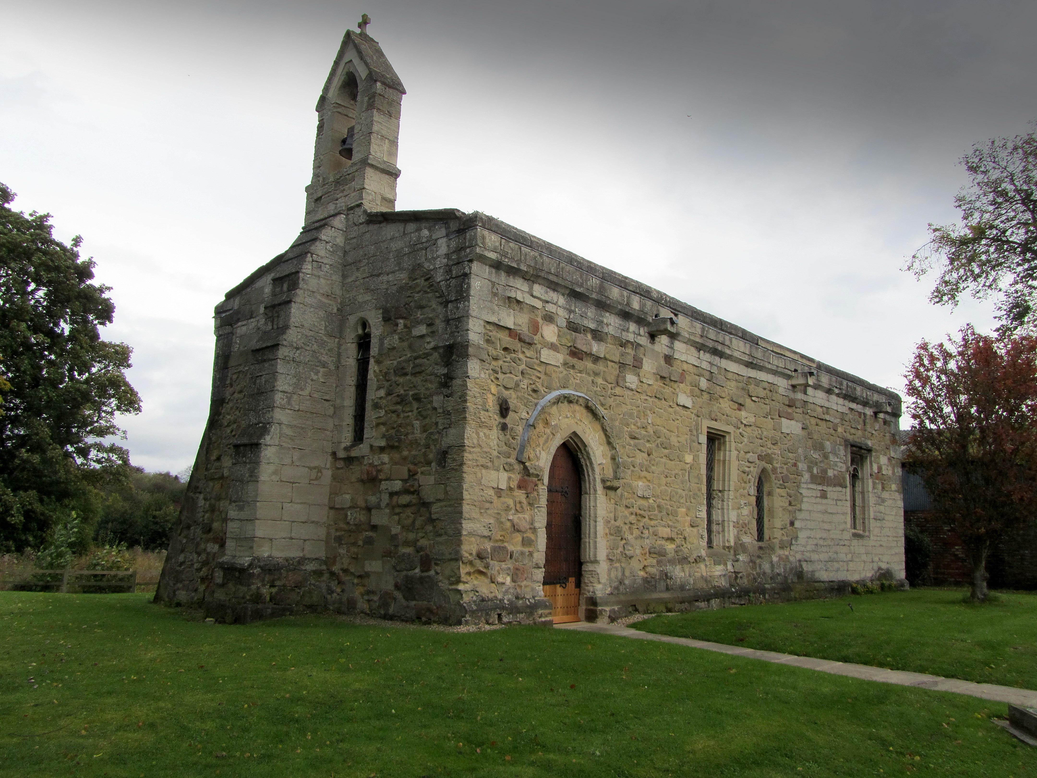
Chapel of St Mary Magdalen, Ripon
The Chapel of St Mary Magdalen, Ripon (sometimes listed as St Mary Magdalene, or St Mary Magdalen (Leper) Chapel, Ripon), is an active Anglican church...
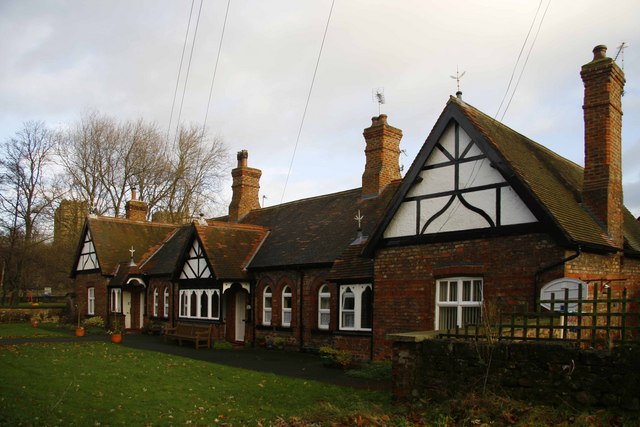
St John's Almshouses, Ripon
St John’s Almshouses (formally the Hospital of St John the Baptist) are Grade II listed Almshouses in Ripon, North Yorkshire, England. == History == The...

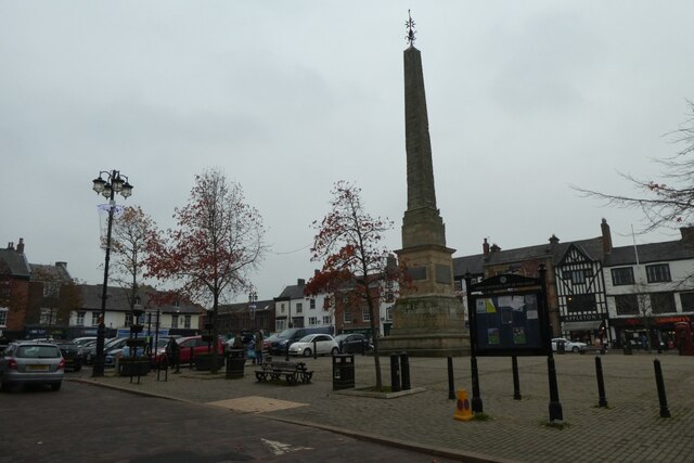
Ripon Obelisk
The Ripon Obelisk is an obelisk monument in the centre of the Yorkshire settlement of Ripon in Northern England. It was designed by Nicholas Hawksmoor...

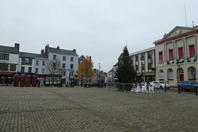
Ripon Town Hall
Ripon Town Hall is a municipal building in the Market Place, Ripon, North Yorkshire, England. The structure, which was the headquarters of Ripon Borough...
Nearby Amenities
Located within 500m of 54.135973,-1.5153729Have you been to Ailcey Hill?
Leave your review of Ailcey Hill below (or comments, questions and feedback).