Barley Hill
Hill, Mountain in Oxfordshire West Oxfordshire
England
Barley Hill

Barley Hill is a small hill located in the county of Oxfordshire, England. It is situated near the village of Wheatley, approximately 8 miles southeast of Oxford. Despite its name, Barley Hill is not a mountain but rather a modest elevation in the landscape.
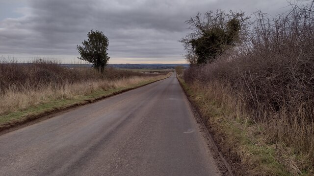
The hill itself stands at an elevation of around 150 meters (500 feet) above sea level, offering visitors and locals alike stunning panoramic views of the surrounding countryside. The area is characterized by its rolling green hills, picturesque farmland, and charming rural landscapes.
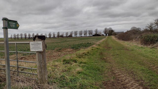
Barley Hill is a popular destination for nature enthusiasts and hikers, as it boasts several well-maintained trails that lead to the summit. These paths wind through fields, meadows, and woodlands, providing opportunities to observe the local flora and fauna.
The hill is also home to a variety of wildlife, including birds, rabbits, and foxes. Nature lovers can often spot buzzards soaring overhead or catch a glimpse of deer grazing in the distance.
Barley Hill and its surrounding area have historical significance as well. The nearby village of Wheatley has a rich heritage, with several historic buildings, including the 13th-century St. Mary's Church and the Wheatley Manor, a 17th-century manor house.
In conclusion, Barley Hill offers a serene and picturesque setting for outdoor enthusiasts and history buffs alike. With its stunning views, diverse wildlife, and nearby historic sites, it is a destination that encapsulates the natural beauty and cultural heritage of Oxfordshire.
If you have any feedback on the listing, please let us know in the comments section below.
Barley Hill Images
Images are sourced within 2km of 51.908081/-1.5413742 or Grid Reference SP3123. Thanks to Geograph Open Source API. All images are credited.


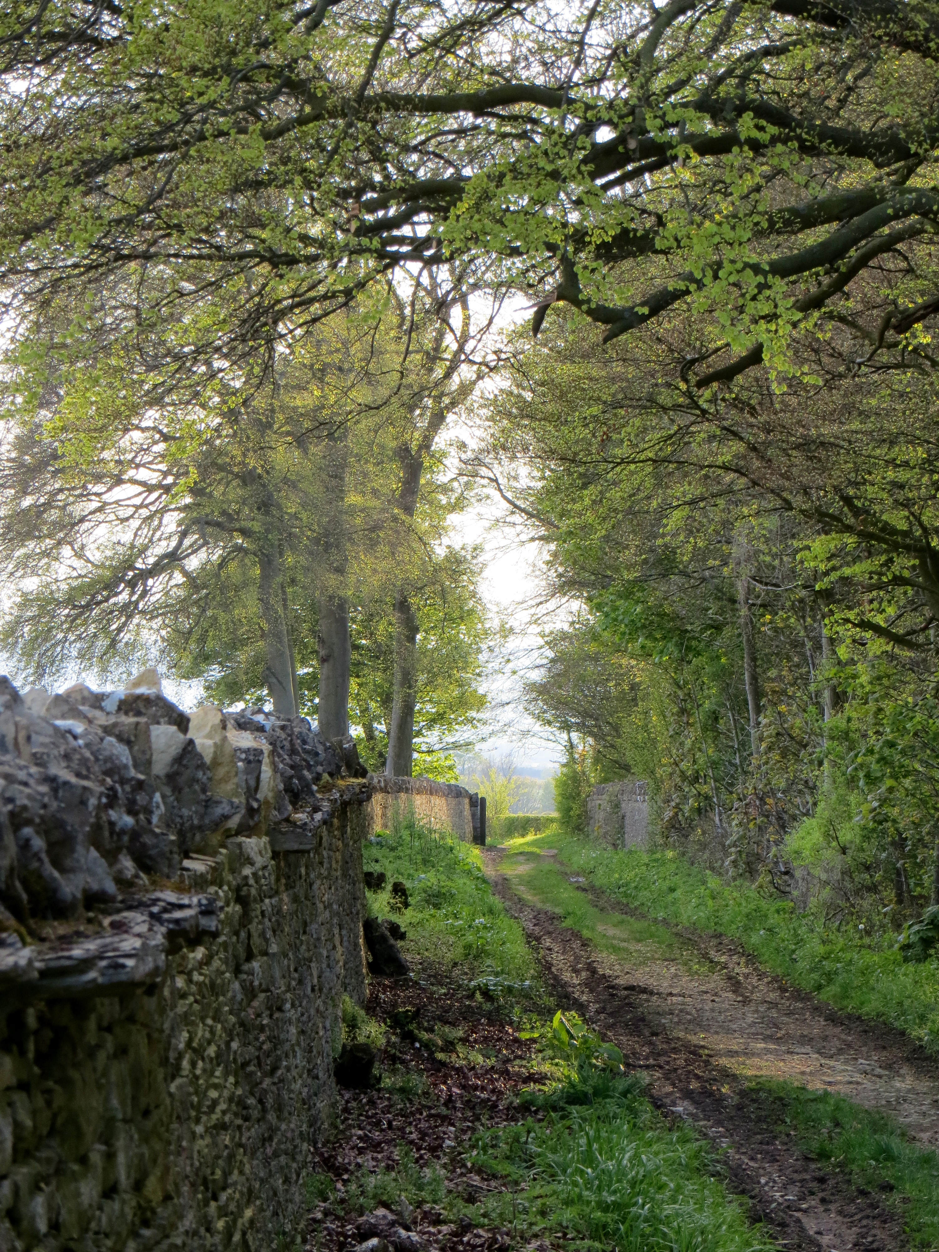
![Three ways to go [1] Within Sarsden House park, the bridleway from the A361 makes a T junction with another bridleway. This view is looking north east towards Kennels Belt.](https://s0.geograph.org.uk/geophotos/02/73/75/2737532_5ab12e6a.jpg)


Barley Hill is located at Grid Ref: SP3123 (Lat: 51.908081, Lng: -1.5413742)
Administrative County: Oxfordshire
District: West Oxfordshire
Police Authority: Thames Valley
What 3 Words
///unclaimed.emerald.cheering. Near Chipping Norton, Oxfordshire
Nearby Locations
Related Wikis

Knollbury
Knollbury is a scheduled Iron Age hillfort enclosure to the north west of Chadlington in Oxfordshire. Believed to be defensive in nature the enclosure...

The Dower House, Sarsgrove Wood
The Dower House, Sarsgrove Wood is a Grade II* listed house in Sarsgrove Wood, Churchill, Oxfordshire, England (near Chipping Norton).The house has been...
Sarsgrove Wood
Sarsgrove Wood is a 41.9-hectare (104-acre) biological Site of Special Scientific Interest south of Chipping Norton in Oxfordshire.This ancient wood has...

Chadlington
Chadlington is a village and civil parish in the Evenlode Valley about 3 miles (5 km) south of Chipping Norton, Oxfordshire. The village has four neighbourhoods...

RAF Chipping Norton
Royal Air Force Chipping Norton or more simply RAF Chipping Norton is a former Royal Air Force satellite station located near Chipping Norton, Oxfordshire...

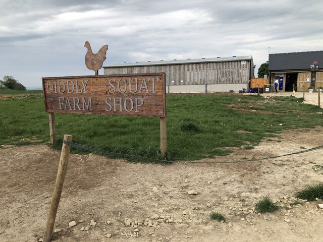
Hawk Stone
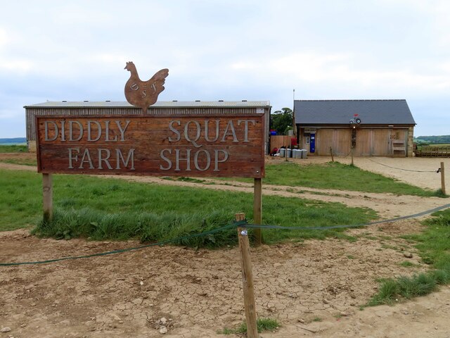
The Hawk Stone is a neolithic standing stone just north of the hamlet of Dean, Oxfordshire, England on Diddly Squat Farm belonging to Jeremy Clarkson....
Chipping Norton Rural District
Chipping Norton Rural District was a rural district in Oxfordshire, England from 1894 to 1974. It surrounded but did not include the town of Chipping Norton...
Sarsden
Sarsden is a village and civil parish about 3 miles (5 km) south of Chipping Norton, Oxfordshire. The 2001 Census recorded the parish population as 83...
Nearby Amenities
Located within 500m of 51.908081,-1.5413742Have you been to Barley Hill?
Leave your review of Barley Hill below (or comments, questions and feedback).