Little Studley
Settlement in Yorkshire Harrogate
England
Little Studley
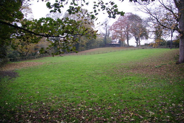
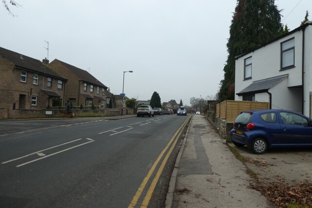
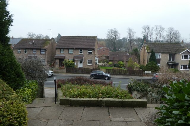
Little Studley is a charming village located in the county of Yorkshire, England. Situated in the Harrogate district, it is a small rural community with a population of around 300 residents. The village is nestled amidst picturesque countryside, offering breathtaking views of rolling hills and lush green fields.
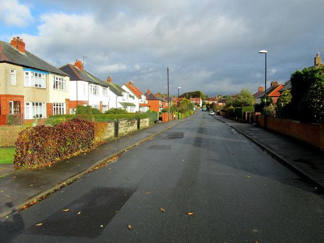
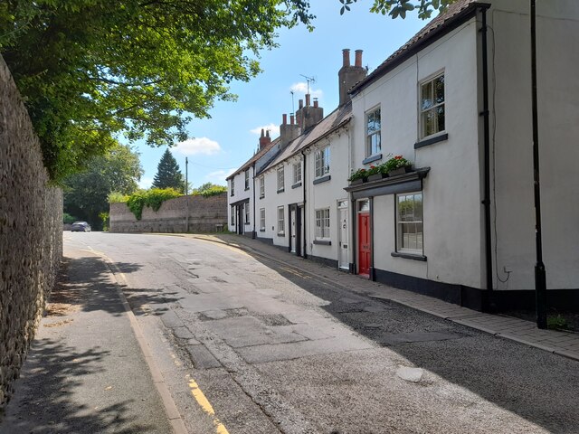
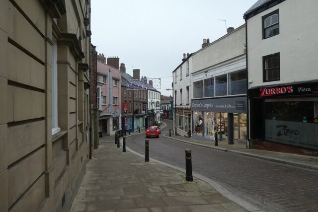
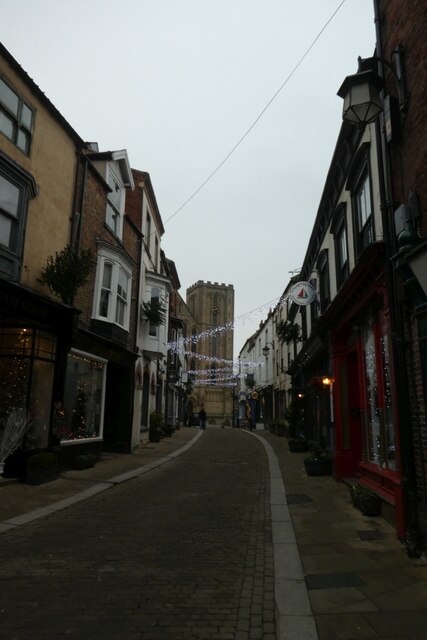
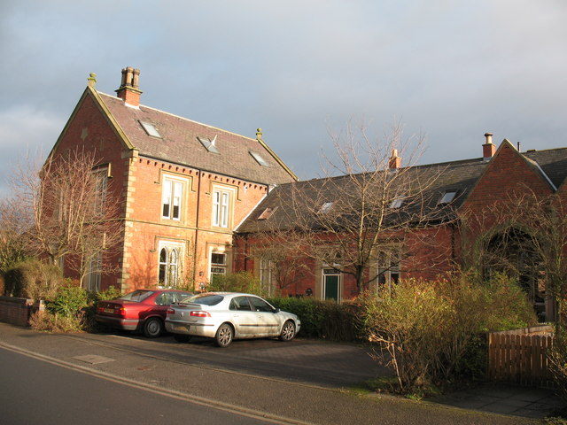
Little Studley boasts a rich history that dates back centuries. It is believed to have been settled in the medieval period, and the remnants of ancient buildings can still be seen today. The village is renowned for its well-preserved architecture, with many traditional cottages and farmhouses lining its quaint streets.
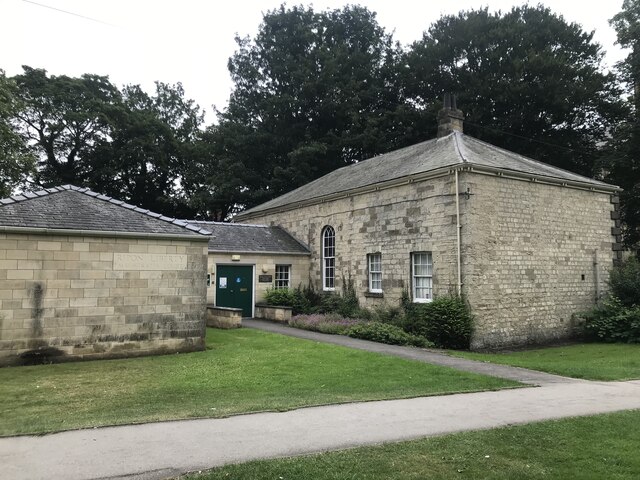
Despite its small size, Little Studley offers a range of amenities to its residents. The village has a local pub, The Red Lion, which serves as a gathering place for locals and visitors alike. Additionally, there is a village hall that hosts various community events throughout the year, fostering a strong sense of camaraderie among the villagers.
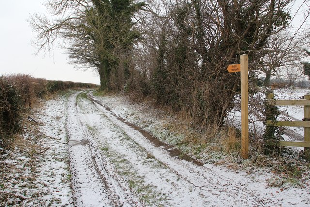
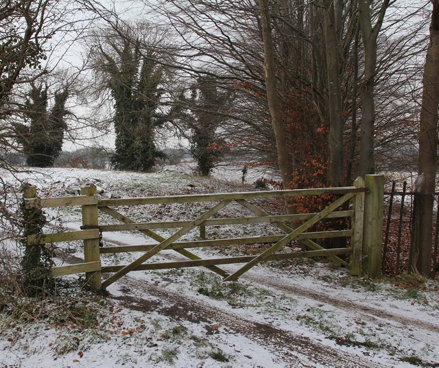
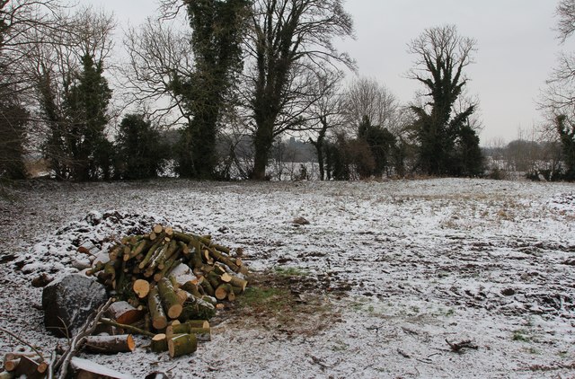
Surrounded by picturesque countryside, Little Studley provides ample opportunities for outdoor activities. The village is located near several walking trails and nature reserves, making it an ideal destination for hikers and nature enthusiasts. The nearby River Nidd also offers fishing opportunities for those interested in angling.
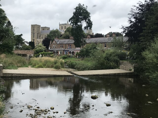
Little Studley is conveniently located near the town of Ripon, which provides access to a wider range of amenities such as shops, supermarkets, and schools. The village is well-connected to major transportation routes, making it easily accessible by road.
In summary, Little Studley is a quaint and idyllic village in Yorkshire, offering a peaceful and close-knit community, stunning natural surroundings, and a rich historical heritage.
If you have any feedback on the listing, please let us know in the comments section below.
Little Studley Images
Images are sourced within 2km of 54.14284/-1.516601 or Grid Reference SE3171. Thanks to Geograph Open Source API. All images are credited.
Little Studley is located at Grid Ref: SE3171 (Lat: 54.14284, Lng: -1.516601)
Division: West Riding
Administrative County: North Yorkshire
District: Harrogate
Police Authority: North Yorkshire
What 3 Words
///arming.conspired.goes. Near Ripon, North Yorkshire
Nearby Locations
Related Wikis
Ripon railway station
Ripon railway station was a railway station that served Ripon, North Yorkshire, England on the Leeds-Northallerton Line that ran between Harrogate and...
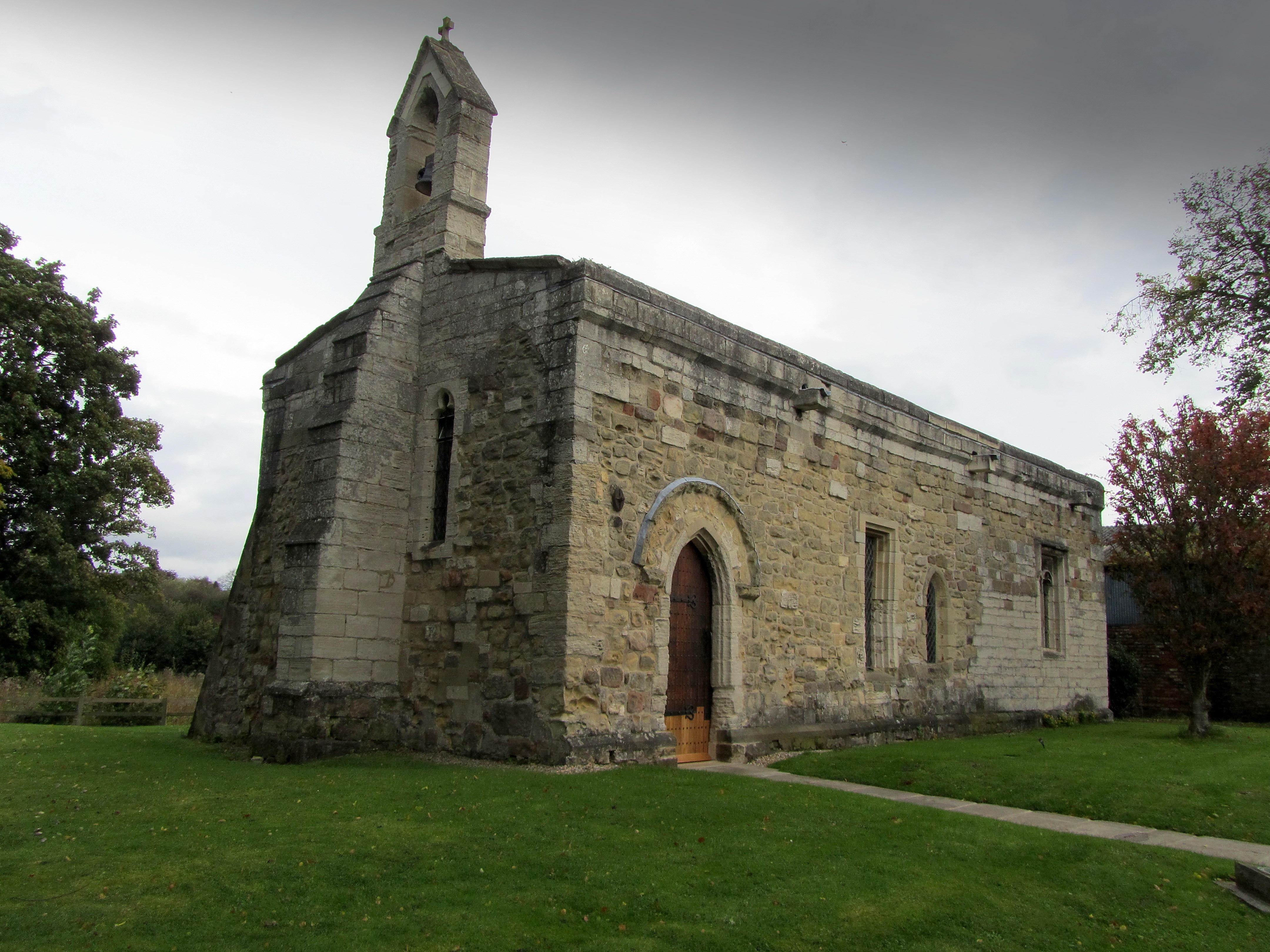
Chapel of St Mary Magdalen, Ripon
The Chapel of St Mary Magdalen, Ripon (sometimes listed as St Mary Magdalene, or St Mary Magdalen (Leper) Chapel, Ripon), is an active Anglican church...

Liberty of Ripon
The Liberty of Ripon or Riponshire was a liberty possessing separate county jurisdiction, although situated within the county of Yorkshire, England. The...
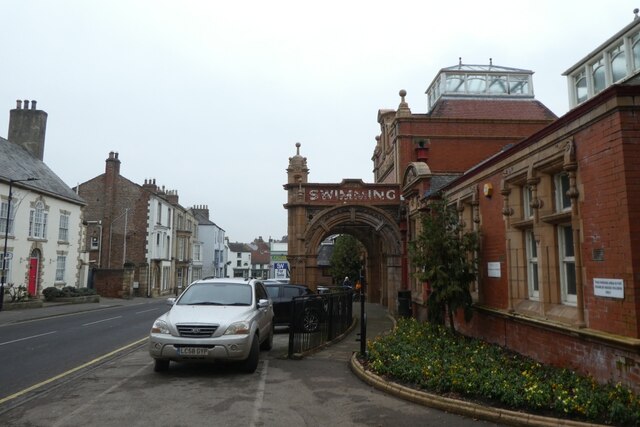
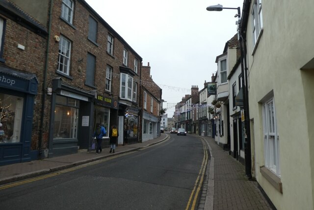
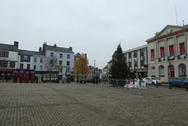
Ripon
Ripon () is a cathedral city and civil parish in North Yorkshire, England. The city is located at the confluence of two tributaries of the River Ure, the...
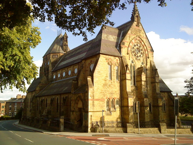
St Wilfrid's Church, Ripon
St Wilfrid's Church is a Roman Catholic parish church in Ripon, North Yorkshire, England. It was built from 1860 to 1862 and designed by Joseph Hansom...

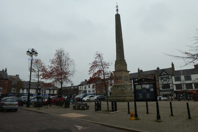
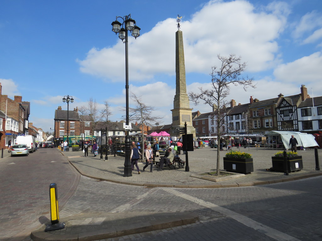
Ripon Obelisk
The Ripon Obelisk is an obelisk monument in the centre of the Yorkshire settlement of Ripon in Northern England. It was designed by Nicholas Hawksmoor...

Diocese of Ripon
The Diocese of Ripon (Diocese of Ripon and Leeds from 1999 until 2014) was a former Church of England diocese, part of the Province of York. Immediately...

The Wakeman's House
The Wakeman's House is a historic building in Ripon, a city in Yorkshire, in England. The building was constructed as a house in the 16th or early 17th...
Nearby Amenities
Located within 500m of 54.14284,-1.516601Have you been to Little Studley?
Leave your review of Little Studley below (or comments, questions and feedback).