Taylor's Hill
Hill, Mountain in Derbyshire
England
Taylor's Hill
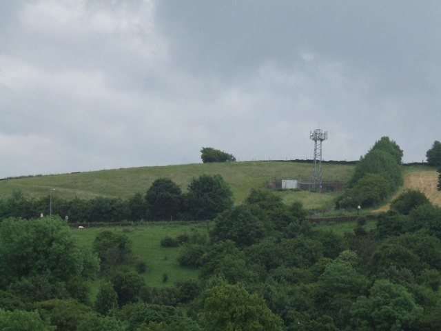
Taylor's Hill is a prominent natural feature located in Derbyshire, England. Situated within the Peak District National Park, it is a popular destination for outdoor enthusiasts and nature lovers alike.
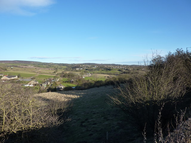
Rising to an elevation of approximately 348 meters (1,142 feet), Taylor's Hill offers breathtaking panoramic views of the surrounding landscape. Its strategic position provides an excellent vantage point to appreciate the rolling hills, verdant valleys, and picturesque villages that characterize the region. On clear days, visitors can even catch a glimpse of the distant city of Derby.
The hill itself is predominantly made up of limestone, a characteristic geological feature of the Peak District. This sedimentary rock has been subject to millions of years of erosion, resulting in the creation of unique formations and crevices. It is not uncommon to find fossils embedded within the limestone, providing a glimpse into the area's ancient history.
Taylor's Hill is a haven for wildlife, with a diverse range of flora and fauna to be found. The hill is home to various bird species, including the elusive peregrine falcon and the distinctive red grouse. Rare plants, such as the mountain pansy and the Derbyshire feather-moss, can also be spotted in the area.
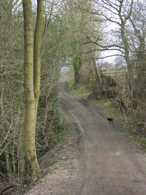
Access to Taylor's Hill is relatively straightforward, with well-marked trails and footpaths leading up to its summit. Many visitors choose to embark on a leisurely hike, taking in the natural beauty of the surrounding countryside along the way. Others prefer to simply relax and enjoy a picnic while soaking up the breathtaking vistas.
In conclusion, Taylor's Hill is a magnificent natural landmark in Derbyshire's Peak District. Its scenic beauty, rich geological history, and abundant wildlife make it a must-visit destination for anyone seeking an authentic outdoor experience.
If you have any feedback on the listing, please let us know in the comments section below.
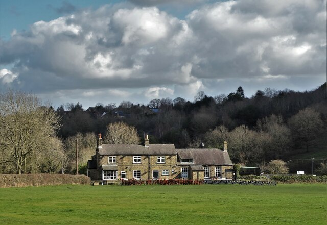
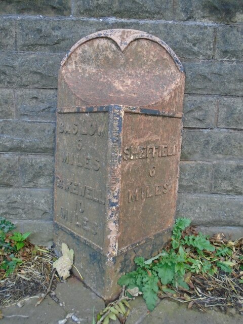
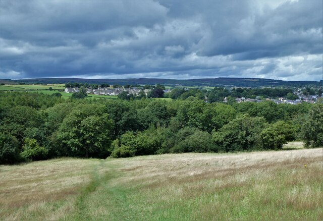
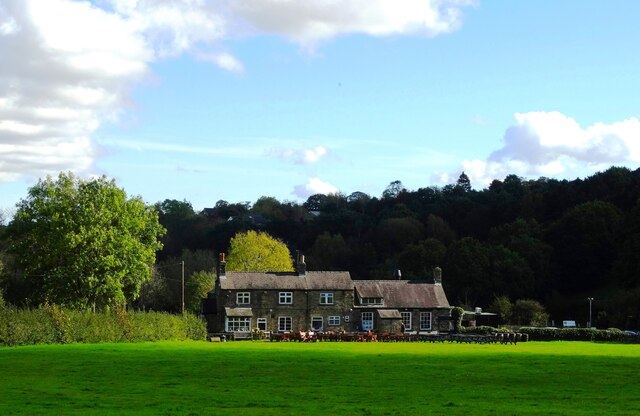
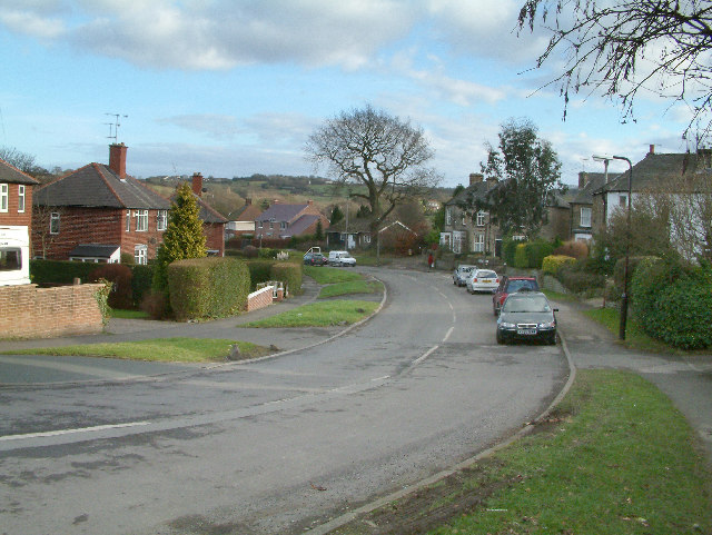
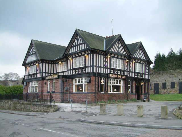
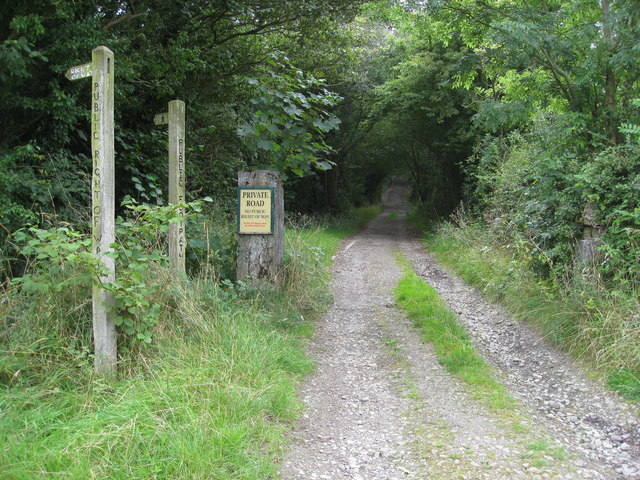
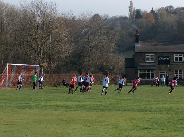
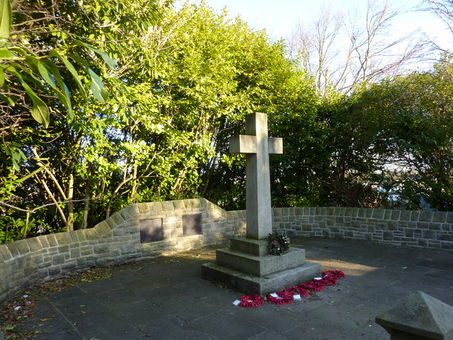
Taylor's Hill Images
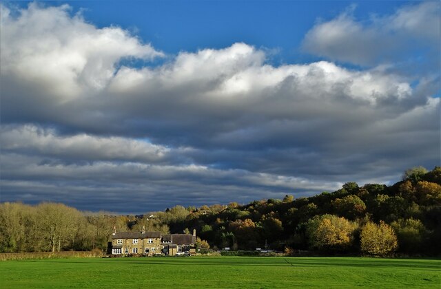
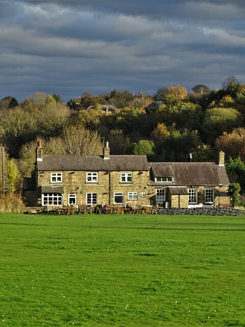
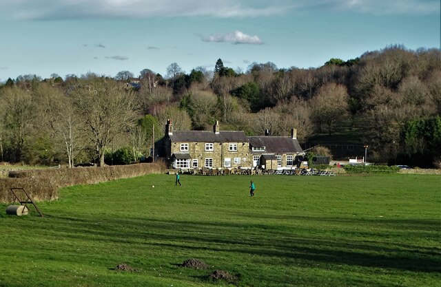
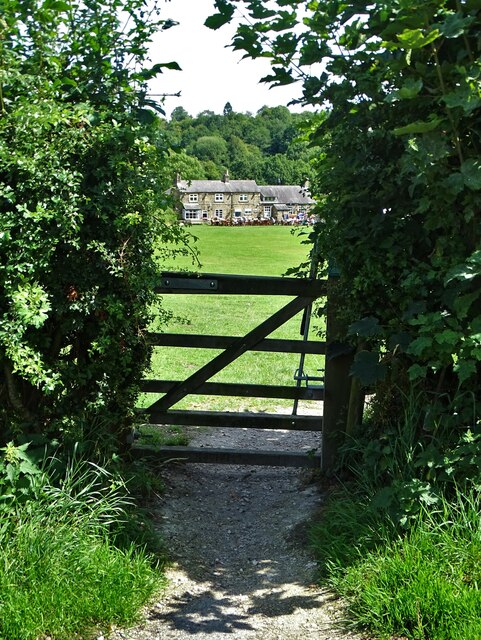
Images are sourced within 2km of 53.316043/-1.5560619 or Grid Reference SK2979. Thanks to Geograph Open Source API. All images are credited.
Taylor's Hill is located at Grid Ref: SK2979 (Lat: 53.316043, Lng: -1.5560619)
Unitary Authority: Sheffield
Police Authority: South Yorkshire
What 3 Words
///coffee.firms.useful. Near Dronfield, Derbyshire
Nearby Locations
Related Wikis

Blacka Moor Nature Reserve
Blacka Moor Nature Reserve is a nature reserve located on Hathersage Road between Sheffield and Hathersage in the Peak District National Park in the United...

Totley
Totley is a suburb on the extreme southwest of the City of Sheffield, in South Yorkshire, England. Lying in the historic county boundaries of Derbyshire...

King Ecgbert School
King Ecgbert School is a co-educational secondary school with academy status (age range 11–18) in the village of Dore in the south-west of Sheffield, South...
Totley Brook
The Totley Brook is a stream in Sheffield, South Yorkshire, England. It rises on a millstone grit ridge some 7 miles (11 km) to the south-west of the centre...

Old Hay Brook
The Old Hay Brook is a small river in Sheffield, South Yorkshire, England. It is formed from the Redcar Brook, Blacka Dike and another stream, which rise...
Dore, South Yorkshire
Dore is a large village in South Yorkshire, England. The village lies on a hill above the River Sheaf which gave Sheffield its name and, until 1934, was...

Totley Moor
Totley Moor is an open moorland hill to the west of the Sheffield suburb of Totley, in the Derbyshire Peak District. The summit is 395 metres (1,296 ft...

Owler Bar
Owler Bar is a small area of settlement and locally important road junction in the parish of Holmesfield, Derbyshire, England. It lies at an altitude of...
Nearby Amenities
Located within 500m of 53.316043,-1.5560619Have you been to Taylor's Hill?
Leave your review of Taylor's Hill below (or comments, questions and feedback).