Knox Hill
Hill, Mountain in Yorkshire Harrogate
England
Knox Hill
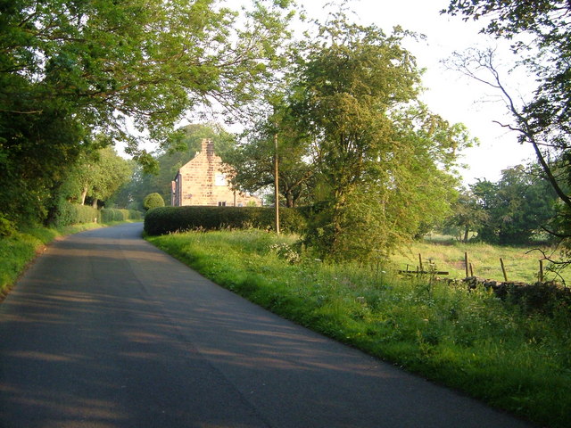
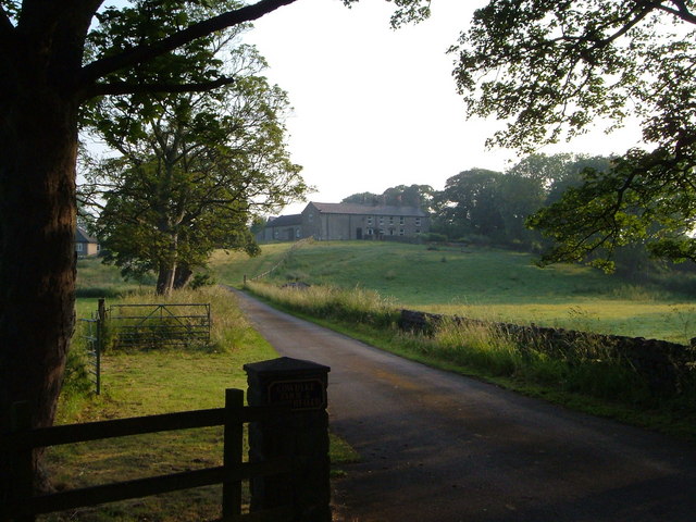
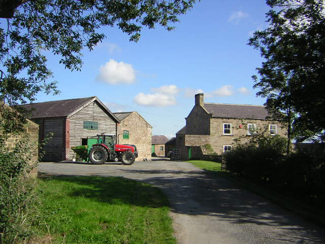
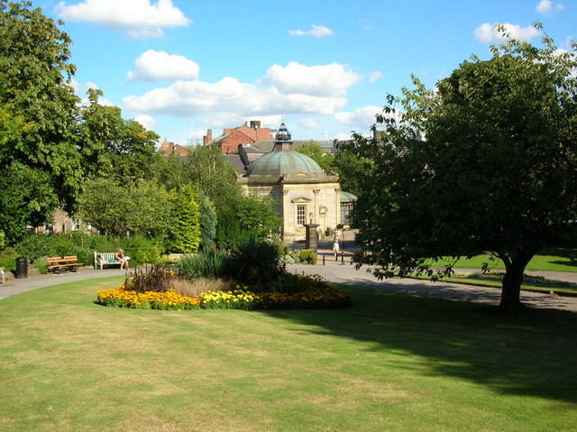
Knox Hill, located in Yorkshire, is a prominent and picturesque hill that stands proudly amidst the stunning landscape of the region. With its elevation reaching approximately 300 meters above sea level, Knox Hill offers breathtaking panoramic views of the surrounding countryside, making it a popular destination for nature enthusiasts and hikers.
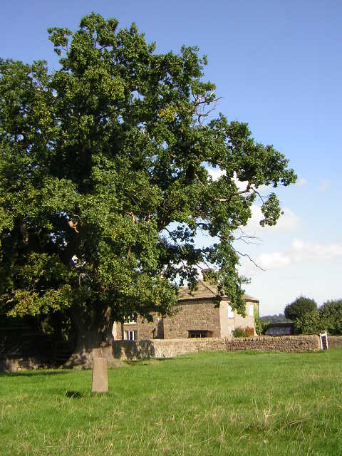
This hill is characterized by its gentle slopes and verdant greenery, adorned with patches of colorful wildflowers during the warmer months. Its summit is adorned with a diverse array of trees, including oak, beech, and birch, creating a thriving ecosystem that supports a variety of wildlife.
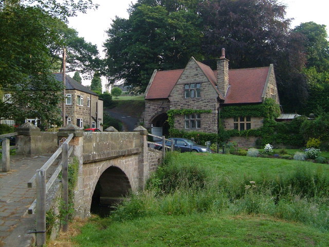
Knox Hill is also known for its historical significance. It has been a place of human habitation for centuries, with archaeological evidence suggesting that it was inhabited during the Iron Age. Ruins of ancient settlements and burial mounds can still be found on its slopes, serving as a reminder of the hill's rich cultural heritage.
The hill is easily accessible, with several walking trails and footpaths that lead visitors through its enchanting landscape. These paths are well-maintained and offer different levels of difficulty, catering to both casual strollers and experienced hikers. Along the trails, visitors can enjoy the tranquil atmosphere and observe the diverse flora and fauna that call Knox Hill their home.
Overall, Knox Hill in Yorkshire is a captivating destination that combines natural beauty, historical significance, and outdoor adventure. Whether one seeks a peaceful retreat or an exhilarating hike, this hill offers a memorable experience for all who venture to its summit.
If you have any feedback on the listing, please let us know in the comments section below.
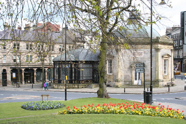
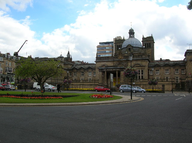
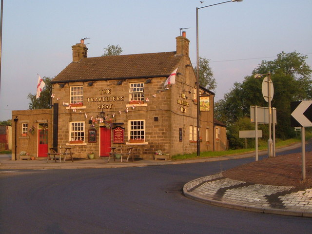
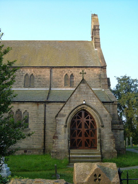
Knox Hill Images
Images are sourced within 2km of 54.010313/-1.5490759 or Grid Reference SE2957. Thanks to Geograph Open Source API. All images are credited.

Knox Hill is located at Grid Ref: SE2957 (Lat: 54.010313, Lng: -1.5490759)
Division: West Riding
Administrative County: North Yorkshire
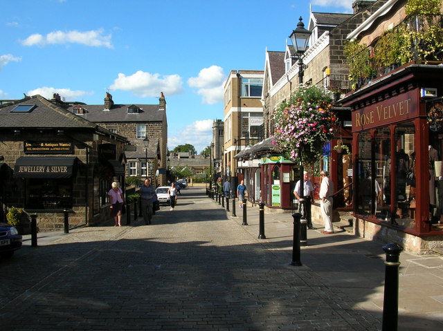
District: Harrogate
Police Authority: North Yorkshire
What 3 Words
///replenish.fool.candle. Near Harrogate, North Yorkshire
Related Wikis

Harrogate Gasworks Railway
Harrogate Gasworks Railway was an industrial railway in the town of Harrogate, North Yorkshire, England. It was built to the gauge of 2 ft and ran between...

Red Cat Cottage
The Red Cat Cottage (formerly Red Cat Inn), a Grade II listed building, is now a residence that sits at the top of Bachelor Gardens in Bilton, a district...
Bilton, Harrogate
Bilton is a suburb of Harrogate, North Yorkshire, England, situated to the north-east of the town centre. == History == Bilton was first recorded (as Billeton...
Harrogate power station
Harrogate power station supplied electricity to the town of Harrogate and the surrounding area from 1897 to 1960. The power station was built by the Harrogate...

Oak Beck
Oak Beck is a watercourse that flows eastwards across the northern part of Harrogate in North Yorkshire, England. The beck flows through a broad V-shaped...
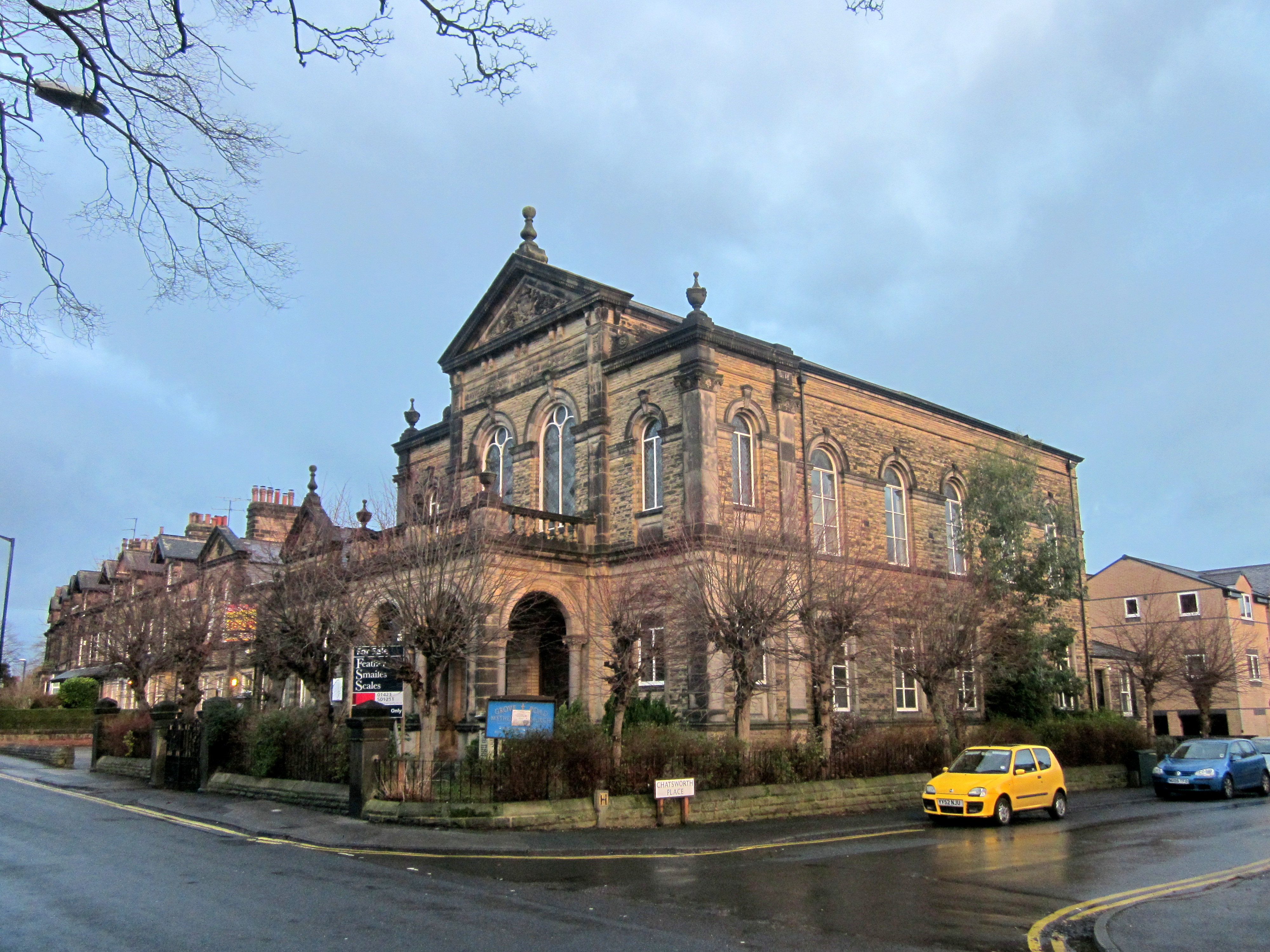
Wesleyan Methodist Chapel, Grove Road, Harrogate
The Wesleyan Methodist Chapel is a Grade II listed building in Grove Road, Harrogate, North Yorkshire, England. It was built in 1896 as a 1,000-seat Wesleyan...
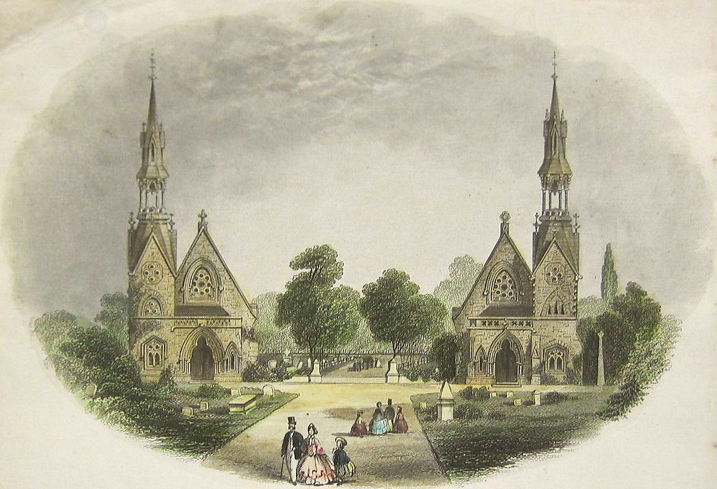
Grove Road Cemetery, Harrogate
Grove Road Cemetery, Harrogate, North Yorkshire, England, was formerly known as Harrogate Cemetery. It was established in 1864 after the spa town expanded...
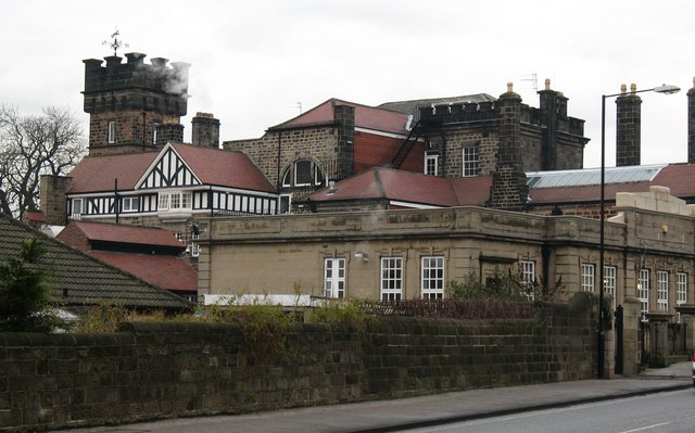
Grove House, Harrogate
Grove House is a former inn, school, house and orphanage on Skipton Road, Harrogate in North Yorkshire. Built in 1745–54 as World's End Inn, it was later...
Nearby Amenities
Located within 500m of 54.010313,-1.5490759Have you been to Knox Hill?
Leave your review of Knox Hill below (or comments, questions and feedback).