Allen's Hill

Hill, Mountain in Derbyshire Derbyshire Dales

England

Allen's Hill

The farmhouse - Hearthstone Farm
The farmhouse - Hearthstone Farm Credit: Neil Theasby

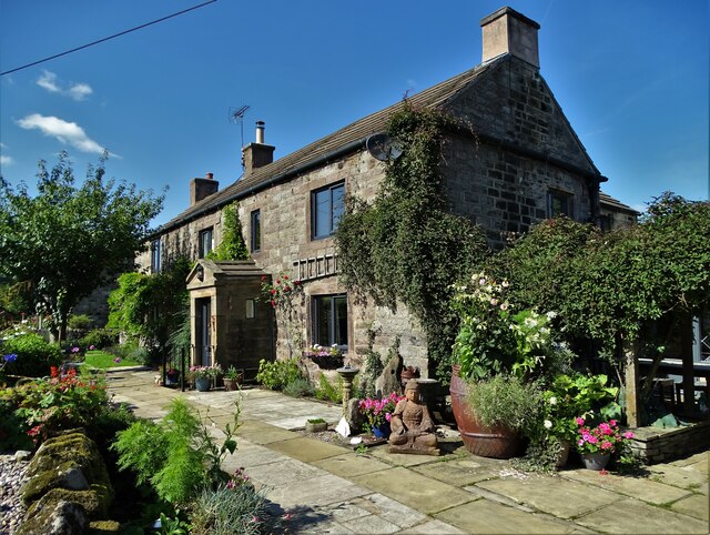
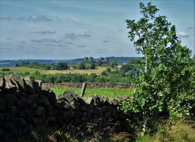
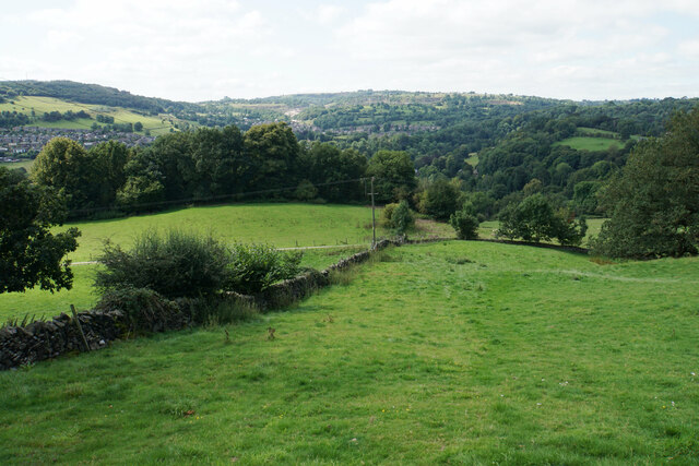
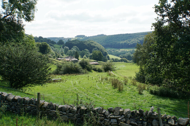
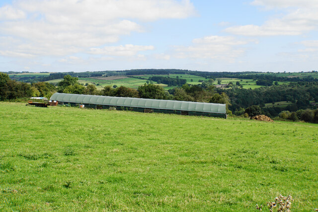
Allen's Hill is a prominent geographical feature located in Derbyshire, England. Rising to an elevation of approximately 347 meters (1,138 feet), it is classified as a hill rather than a mountain. Situated within the Peak District National Park, Allen's Hill is surrounded by picturesque landscapes and offers breathtaking views of the surrounding countryside.

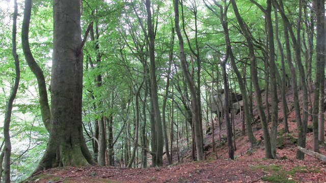
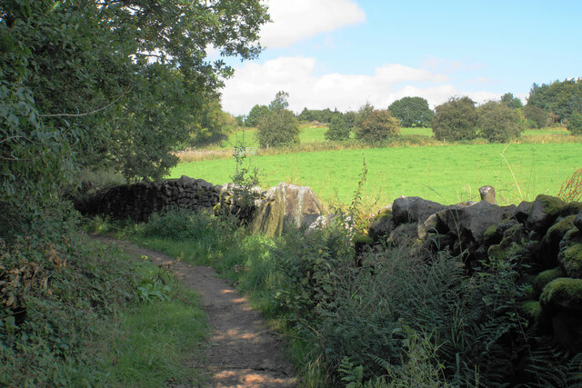
The hill is characterized by its gentle slopes and is primarily composed of limestone, which gives it a distinct appearance. It is covered in lush green vegetation, including grasses, heather, and mosses, creating a vibrant and natural setting. The diverse flora and fauna found on Allen's Hill contribute to its ecological significance.

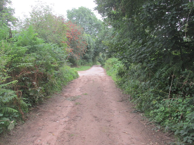
Visitors to Allen's Hill can enjoy a variety of recreational activities. Hiking and walking trails crisscross the area, allowing visitors to explore the hill's natural beauty at their own pace. The summit provides a panoramic view of the surrounding Derbyshire Dales, making it a popular spot for photographers and nature enthusiasts.

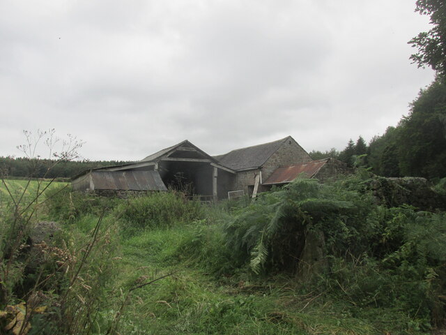
In addition to its natural beauty, Allen's Hill also holds historical significance. The hill is named after a local landowner named Allen and has been a part of the local landscape for centuries. It has witnessed numerous historical events and played a role in the region's cultural heritage.

Overall, Allen's Hill in Derbyshire offers a unique blend of natural beauty, recreational opportunities, and historical significance. Whether seeking a peaceful hike or a stunning view, visitors can find solace and adventure in this picturesque hill.

If you have any feedback on the listing, please let us know in the comments section below.
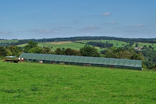
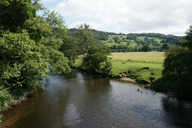
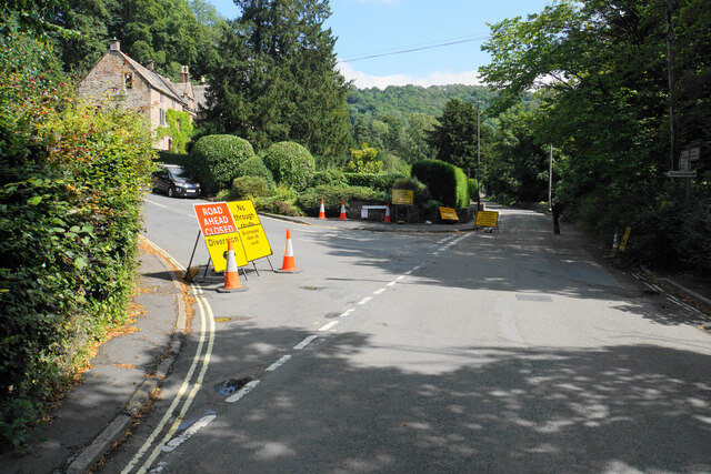
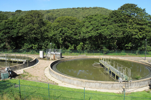
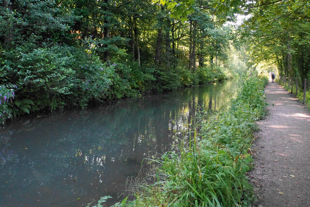
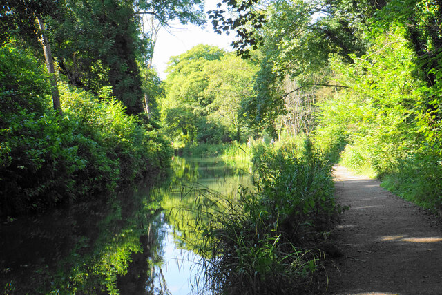
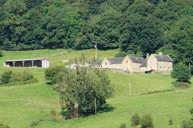
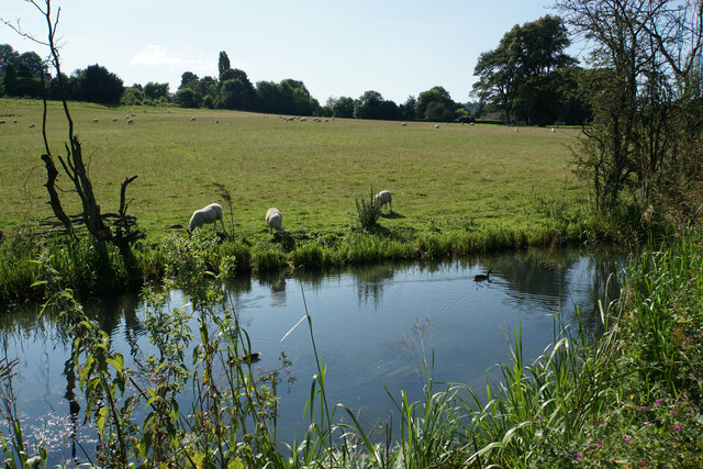
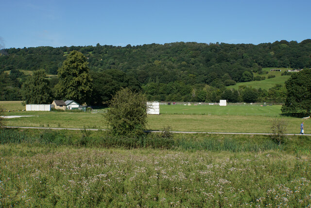
Allen's Hill Images

Images are sourced within 2km of 53.108247/-1.5588159 or Grid Reference SK2956. Thanks to Geograph Open Source API. All images are credited.

The farmhouse - Hearthstone Farm
Intake Lane Close to Birchwood Farm campsite.
Intake Lane
Close to Birchwood Farm campsite.
Old barn alongside the Midshires Way Intake Lane.
Old barn alongside the Midshires Way
Intake Lane.
Bauston Tor In the trees above the Incline.
Bauston Tor
In the trees above the Incline.
View to Riber Castle from Hearthstone Lane
Modern barn on a hillside by High Leas Farm
River Derwent at Cromford Looking downstream from the Mill Road bridge.
River Derwent at Cromford
Looking downstream from the Mill Road bridge.
Road closure at the bottom of Willersley Lane The lane is closed further on for roadworks on Starkholmes Road. The closure is likely to last at least 18 months. If you go straight on here, Lea road ahead is also closed further on due to subsidence.
Road closure at the bottom of Willersley Lane
The lane is closed further on for roadworks on Starkholmes Road. The closure is likely to last at least 18 months. If you go straight on here, Lea road ahead is also closed further on due to subsidence.
Hillside above Cromford A footpath from Lea descends into the Derwent valley here. Middleton Top is on the opposite hill.
Hillside above Cromford
A footpath from Lea descends into the Derwent valley here. Middleton Top is on the opposite hill.
Meadow Wood Farm The eastern side of the Derwent valley.
Meadow Wood Farm
The eastern side of the Derwent valley.
Hearthstone Lane An ancient route which climbs the ridge between Lea Brook and the River Derwent.
Hearthstone Lane
An ancient route which climbs the ridge between Lea Brook and the River Derwent.
Cloche by High Leas Farm The cloche is for the benefit of livestock and not for plants. The valley of Lea Brook is behind.
Cloche by High Leas Farm
The cloche is for the benefit of livestock and not for plants. The valley of Lea Brook is behind.
Sewage works in the Derwent valley The valley is full of the trappings of human activity, road, rail, canal and sewage treatment. Bow Wood rises behind on the other side of the river.
Sewage works in the Derwent valley
The valley is full of the trappings of human activity, road, rail, canal and sewage treatment. Bow Wood rises behind on the other side of the river.
The Cromford Canal A stretch with trees on both sides so that the view does not vary much.
The Cromford Canal
A stretch with trees on both sides so that the view does not vary much.
The Cromford Canal After a long stretch where the canal was enclosed by trees, we are reaching a part where the sun can penetrate.
The Cromford Canal
After a long stretch where the canal was enclosed by trees, we are reaching a part where the sun can penetrate.
Meadow Wood Farm A farm on the eastern side of the Derwent valley seen from the Cromford Canal towpath down below.
Meadow Wood Farm
A farm on the eastern side of the Derwent valley seen from the Cromford Canal towpath down below.
Sheep by the Cromford Canal Grazing land near the northern end of the canal.
Sheep by the Cromford Canal
Grazing land near the northern end of the canal.
Cromford Meadows Cricket Club As viewed from the towpath of the Cromford Canal.
Cromford Meadows Cricket Club
As viewed from the towpath of the Cromford Canal.
Show me another place!

Allen's Hill is located at Grid Ref: SK2956 (Lat: 53.108247, Lng: -1.5588159)

Administrative County: Derbyshire

District: Derbyshire Dales

Police Authority: Derbyshire

What 3 Words

///junior.estimate.litigate. Near Cromford, Derbyshire

Nearby Locations

Allen's Hill Cromford

Related Wikis

Cromford War Memorial

Cromford War Memorial is a 20th-century grade II listed war memorial in Cromford, Derbyshire. == Description == The war memorial stands in a Garden of...

Cromford

Cromford () is a village and civil parish in Derbyshire, England, in the valley of the River Derwent between Wirksworth and Matlock. It is 17 miles (27...
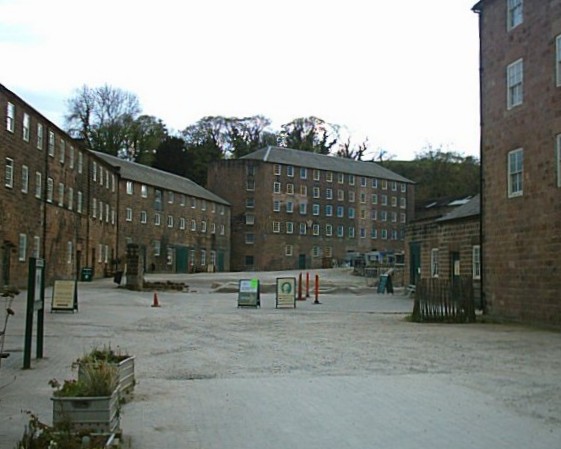
Cromford Mill

Cromford Mill is the world's first water-powered cotton spinning mill, developed by Richard Arkwright in 1771 in Cromford, Derbyshire, England. The mill...
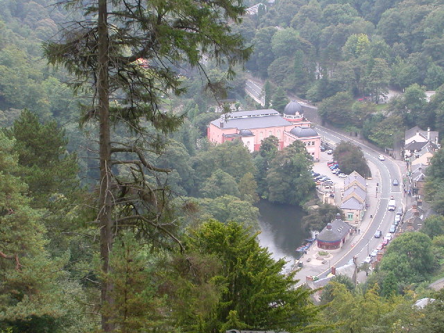
Matlock Bath

Matlock Bath is a village and civil parish in Derbyshire, England. It lies in the Derbyshire Dales, south of Matlock on the main A6 road, and approximately...

Cromford Wharf

Cromford Wharf is at Cromford in Derbyshire, England. It is located at the northern terminus of the Cromford Canal, which opened in 1794 and ran 14.5 miles...
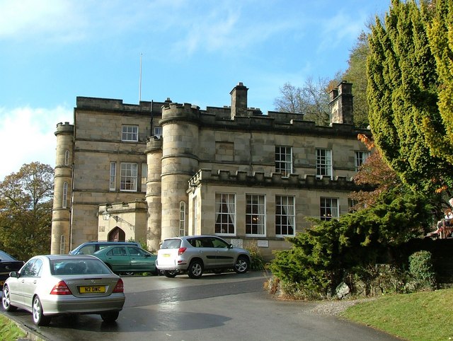
Willersley Castle

Willersley Castle is a late 18th-century country mansion above the River Derwent at Cromford, Derbyshire, outside Peak District National Park. The castle...

Derwent Valley Heritage Way

The Derwent Valley Heritage Way (DVHW) is a 55 miles (89 km) waymarked footpath along the Derwent Valley through the Peak District (as far as Rowsley)...

Masson Mill

Sir Richard Arkwright's Masson Mill is a water-powered cotton spinning mill situated on the west bank of the River Derwent in Matlock Bath, Derbyshire...

Related Videos

Ashbourne Heights Holiday Park - Holidays & Short Breaks 2024

The perfect location for quiet escapes in the Peak District. For more information visit www.parkholidays.com.

Ashbourne Heights - Holiday Home Ownership 2023

Located in the stunning Peak District countryside, Ashbourne Heights Holiday Park is a popular location for those who love ...
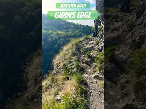
🏴󠁧󠁢󠁥󠁮󠁧󠁿 GiddyEdge in Matlock Hiking

GiddyEdge Hiking in Matlock Derbyshire. We stay at Packhorse Farm which is nicely situated for a walk to Lumsdale Falls, ...

Nearby Amenities

Located within 500m of 53.108247,-1.5588159
Traffic Signals
Source: local_knowledge
Lat/Long: 53.1091775/-1.5590161
Pub
The Greyhound
Addr City: Matlock
Addr Postcode: DE4 3QE
Addr Street: Market Place
Addr Village: Cromford
Fhrs Id: 1626849
Wikidata: Q17545856
Lat/Long: 53.1086505/-1.5604847
Post Office
Cromford Post Office
Addr City: Matlock
Addr Postcode: DE4 3QF
Addr Street: Scarthin
Addr Village: Cromford
Brand: Post Office
Brand Wikidata: Q1783168
Ref Pol Id: 14794
Website: https://www.postoffice.co.uk/branch-finder/4182073/cromford
Lat/Long: 53.1090793/-1.5608359
Cromford Mills
Addr City: Matlock
Addr Postcode: DE4 3RQ
Addr Village: Cromford
Alt Name: Cromford Mill
Fee: no
Toilets Wheelchair: yes
Tourism: museum
Website: https://www.derwentvalleymills.org/visit/where-to-visit-in-the-derwent-valley/attractions-in-the-derwent-valley/visit-cromford-mills/
Wheelchair: yes
Wikidata: Q2566525
Wikipedia: en:Cromford Mill
Lat/Long: 53.1090244/-1.5555384
Cafe
Wheelchair: limited
Lat/Long: 53.1092022/-1.5551122
Bench
Backrest: no
Lat/Long: 53.1089239/-1.5517391
Tourism: picnic_site
Lat/Long: 53.1093722/-1.5525115
Bus Stop
Mill Road
Bench: no
Bin: no
Bus: yes
Lit: yes
Public Transport: platform
Shelter: no
Tactile Paving: no
Lat/Long: 53.1088254/-1.5575289
Bus Stop
Bench: no
Bin: no
Bus: yes
Public Transport: platform
Shelter: no
Tactile Paving: no
Lat/Long: 53.1092846/-1.5549062
Bus Stop
Mill Road
Bench: no
Bin: no
Bus: yes
Lit: no
Public Transport: platform
Shelter: no
Tactile Paving: no
Lat/Long: 53.1089171/-1.5574464
Place Of Worship
Cromford Methodist Church
Addr City: Matlock
Addr Postcode: DE4 3QH
Addr Street: Water Lane
Addr Village: Cromford
Denomination: methodist
Religion: christian
Source: survey
Lat/Long: 53.1083756/-1.5619339
Post Box
Brand: Royal Mail
Brand Wikidata: Q638098
Brand Wikipedia: en:Royal Mail
Operator: Royal Mail
Operator Wikidata: Q638098
Ref: DE4 998
Source: survey
Lat/Long: 53.1075375/-1.556224
Post Box
Brand: Royal Mail
Brand Wikidata: Q638098
Brand Wikipedia: en:Royal Mail
Ele: 107.0716553
Operator: Royal Mail
Operator Wikidata: Q638098
Post Box Type: wall
Ref: DE4 970
Lat/Long: 53.1066028/-1.5627864
Bus Stop
Bedehouse Lane
Bus: yes
Naptan AtcoCode: 1000DCCH2465
Naptan NaptanCode: dbsgjgjd
Public Transport: platform
Lat/Long: 53.1063186/-1.5627626
Post Box
Brand: Royal Mail
Brand Wikidata: Q638098
Brand Wikipedia: en:Royal Mail
Operator: Royal Mail
Operator Wikidata: Q638098
Post Box Type: wall
Ref: DE4 931
Royal Cypher: EIIR
Royal Cypher Wikidata: Q33102113
Lat/Long: 53.1090586/-1.5608111
Bench
Backrest: yes
Ele: 84.4809570
Lat/Long: 53.1090283/-1.5588061
Description: War Memorial
Ele: 84.2406006
Historic: memorial
Memorial: war_memorial
Lat/Long: 53.1088643/-1.5591128
Ele: 83.7598877
Removed Amenity: telephone
Lat/Long: 53.1083985/-1.5602926
Bell Inn
Addr City: Matlock
Addr County: Derbyshire
Addr Housenumber: 47
Addr Postcode: DE4 3RF
Addr Street: The Hill
Addr Village: Cromford
Disused Amenity: pub
Ele: 94.6
Fhrs Id: 1627043
Source Addr: FHRS Open Data
Lat/Long: 53.1072225/-1.5621931
Scarthin Books
Shop: books
Url: http://www.scarthinbooks.com/
Lat/Long: 53.1092243/-1.5615073
Note: 50 mph sign eastbound, 40 mph sign NW-bound
Traffic Sign Backward: GB:670[50]
Traffic Sign Forward: GB:670[40]
Lat/Long: 53.1072578/-1.5543193
Cafe
Tor Cafe
Source: survey
Lat/Long: 53.1091521/-1.5587053
Ele: 98
Lat/Long: 53.1085921/-1.5643006
Ele: 98
Lat/Long: 53.1085854/-1.5642351
Ele: 101.0000000
Lat/Long: 53.107313/-1.564062
Ele: 102.0000000
Lat/Long: 53.1081764/-1.5642412
Ele: 99
Lat/Long: 53.1085984/-1.5644702
Ele: 118.0000000
Information: board
Tourism: information
Lat/Long: 53.1058324/-1.5650259
Ele: 115
Lat/Long: 53.1057486/-1.5648904
Barrier: stile
Ele: 115.0000000
Stile: squeezer
Lat/Long: 53.1057527/-1.5648301
Ele: 108
Lat/Long: 53.1063234/-1.5643466
Ele: 107
Lat/Long: 53.1064539/-1.5643523
Cromford Community Centre
Leisure: social_club
Source: survey
Lat/Long: 53.1085589/-1.5593872
Toilets
Check Date: 2024-04-05
Source: survey
Lat/Long: 53.1087792/-1.5589859
Bus Stop
Bedehouse Lane
Bench: yes
Bus: yes
Naptan AtcoCode: 1000DCCH2466
Naptan NaptanCode: dbsgjgjg
Public Transport: platform
Shelter: yes
Lat/Long: 53.1066459/-1.5627136
Bus Stop
Market Place
Bench: yes
Bin: yes
Bus: yes
Public Transport: platform
Shelter: yes
Tactile Paving: no
Lat/Long: 53.108738/-1.5599281
Shelter
Lat/Long: 53.1091248/-1.5584943
Bus Stop
Market Place
Bench: no
Bin: no
Bus: yes
Naptan AtcoCode: 1000DCMP2418
Naptan NaptanCode: dbsgjapd
Public Transport: platform
Shelter: no
Tactile Paving: no
Lat/Long: 53.1083941/-1.5603661
Bus Stop
Cromford Mill
Bench: no
Bin: no
Bus: yes
Lit: no
Public Transport: platform
Shelter: no
Tactile Paving: no
Lat/Long: 53.1090373/-1.5549594
Bench
Backrest: yes
Seats: 10
Lat/Long: 53.1104875/-1.5541377
Addr City: Matlock
Addr Housenumber: 7
Addr Postcode: DE4 3RF
Addr Street: The Hill
Addr Village: Cromford
Old Name: Anthony Andrews Family Butchers
Old Name 2016-2022: Figgshaws Butchery And Deli
Source: survey
Lat/Long: 53.1079719/-1.560997
Elements Beauty
Shop: beauty
Source: survey
Lat/Long: 53.1084961/-1.5600568
Fast Food
Habib's Cromford Fish Bar
Addr City: Matlock
Addr County: Derbyshire
Addr Housenumber: 25
Addr Postcode: DE4 3RE
Addr Street: Market Place
Addr Village: Cromford
Cuisine: fish_and_chips
Fhrs Id: 1626765
Old Name: Linda's Plaice
Source: survey
Source Addr: FHRS Open Data
Website: https://habibschippy.com/
Lat/Long: 53.1082444/-1.5603967
Cafe
Parkys Eatery
Addr City: Matlock
Addr County: Derbyshire
Addr Housenumber: 11-13
Addr Postcode: DE4 3RE
Addr Street: Market Place
Addr Unit: 1-2
Addr Village: Cromford
Fhrs Id: 1626573
Old Name: The Old Bakery
Source: survey
Source Addr: FHRS Open Data
Lat/Long: 53.1085887/-1.5597309
Note: 40 mph speed limit sign NE-bound
Lat/Long: 53.1090476/-1.5592278
Designation: L36 DE043
Fixme: check if this really is a substation; if yes, use pipeline=substation, else use valve or other relevant tags
Gas: sub_station
Substance: gas
Lat/Long: 53.1088238/-1.5577846
Arkwright Stores
Addr City: Matlock
Addr County: Derbyshire
Addr Housenumber: 39
Addr Postcode: DE4 3RE
Addr Street: Market Place
Addr Village: Cromford
Fhrs Id: 1627084
Shop: convenience
Source Addr: FHRS Open Data
Lat/Long: 53.1080889/-1.5607532
Oakhill Cromford
Email: info@oakhillcromford.co.uk
Old Name: Alison House
Phone: +44 1629 822211
Tourism: hotel
Website: https://oakhillcromford.co.uk/
Lat/Long: 53.1068245/-1.558502
Restaurant
Market Place Restaurant
Addr City: Matlock
Addr Housenumber: 16-18
Addr Postcode: DE4 3QE
Addr Street: Market Place
Addr Village: Cromford
Old Fhrs Id: 766166
Lat/Long: 53.1089227/-1.5599536
P Gould Cromford Garage
Shop: car_repair
Lat/Long: 53.1095582/-1.5637192
Man Made: waterwheel
Tourism: attraction
Lat/Long: 53.1090591/-1.5628904
Village Hall
Millpond Community Hall
Addr City: Matlock
Addr Postcode: DE4 3QH
Addr Village: Cromford
Lat/Long: 53.1084891/-1.5623566
Rachel and Co Changes Hair Design
Shop: hairdresser
Lat/Long: 53.1083357/-1.5616591
Note: blocked west
Lat/Long: 53.1099184/-1.5577372
Taylor Wilde Chocolatier
Addr City: Matlock
Addr County: Derbyshire
Addr Housenumber: 11-13
Addr Postcode: DE4 3RE
Addr Street: Market Place
Addr Unit: 3
Addr Village: Cromford
Contact Facebook: https://www.facebook.com/people/Taylor-Wilde-Chocolatier/100063620166330/
Fhrs Id: 1627059
Shop: chocolate
Source Addr: FHRS Open Data
Lat/Long: 53.1085293/-1.5599051
Cafe
Huntley Green
Lat/Long: 53.1088823/-1.5597989
Cafe
Scarthin Cafe
Lat/Long: 53.109276/-1.5614638
Fast Food
Robinsons Fish and Chips
Addr City: Matlock
Addr County: Derbyshire
Addr Housenumber: 22
Addr Postcode: DE4 3QE
Addr Street: Market Place
Addr Village: Cromford
Fhrs Id: 1626155
Source Addr: FHRS Open Data
Lat/Long: 53.1088655/-1.5601718
Mystical Crystals
Shop: gift
Lat/Long: 53.1088327/-1.5604203
Q-Eye Bead Shop
Shop: gift
Lat/Long: 53.1088905/-1.5602744
Antiques and Hardware
Shop: hardware
Lat/Long: 53.108412/-1.5608615
Scissors and Co.
Shop: hairdresser
Lat/Long: 53.1095021/-1.5635804
Ben's Autos
Shop: car_repair
Lat/Long: 53.1096356/-1.5638342
Walkers Garage
Shop: car_repair
Lat/Long: 53.1095099/-1.5643579
War Memorial
Historic: memorial
Lat/Long: 53.1091029/-1.5615464
Bench
Backrest: yes
Lat/Long: 53.1090104/-1.5589911
Arkwright Graves
Lat/Long: 53.1105576/-1.5535263
Fast Food
Papas Terrace Bar
Cuisine: tapas
Lat/Long: 53.1090595/-1.5598975
Crossing
Button Operated: yes
Crossing: traffic_signals
Crossing Island: no
Lat/Long: 53.1084667/-1.5603161
Bench
Source: survey;gps
Lat/Long: 53.1115516/-1.5606417
Barrier: stile
Material: wood
Step Count: 2
Stile: stepover
Lat/Long: 53.1052511/-1.5545981
Bear Pit
Lat/Long: 53.1077928/-1.5608136
Generator Method: photovoltaic
Generator Output Electricity: yes
Generator Source: solar
Generator Type: solar_photovoltaic_panel
Location: roof
Power: generator
Lat/Long: 53.1061868/-1.5641109
Generator Method: photovoltaic
Generator Output Electricity: yes
Generator Source: solar
Generator Type: solar_photovoltaic_panel
Location: roof
Power: generator
Lat/Long: 53.1062882/-1.5649907
Generator Method: photovoltaic
Generator Output Electricity: yes
Generator Source: solar
Generator Type: solar_photovoltaic_panel
Location: roof
Power: generator
Lat/Long: 53.108375/-1.5649102
Generator Method: photovoltaic
Generator Output Electricity: yes
Generator Source: solar
Generator Type: solar_photovoltaic_panel
Location: roof
Power: generator
Lat/Long: 53.1067262/-1.5590576
Generator Method: photovoltaic
Generator Output Electricity: yes
Generator Source: solar
Generator Type: solar_photovoltaic_panel
Location: roof
Power: generator
Lat/Long: 53.1092909/-1.5612043
Bus Stop
Crossroads
Bench: yes
Bus: yes
Naptan AtcoCode: 1000DCDRC719
Naptan NaptanCode: dbsgjmgw
Public Transport: platform
Shelter: yes
Lat/Long: 53.109646/-1.5597904
Barrier: yes
Lat/Long: 53.1063419/-1.5552983
Barrier: cattle_grid
Material: metal
Lat/Long: 53.1103001/-1.5532532
Ele: 107
Lat/Long: 53.1063846/-1.5643854
Waste Basket
Lat/Long: 53.1071262/-1.5653364
Noexit: yes
Lat/Long: 53.106661/-1.5643809
Scarthin Rock
Place: locality
Lat/Long: 53.1095214/-1.5573288
The data included in this document is from www.openstreetmap.org. The data is made available under ODbL.

Have you been to Allen's Hill?

Leave your review of Allen's Hill below (or comments, questions and feedback).