Hollin Hill

Hill, Mountain in Derbyshire

England

Hollin Hill

Beneath November clouds at Totley Bents Another view of "The Cricket Inn".
Beneath November clouds at Totley Bents Credit: Neil Theasby

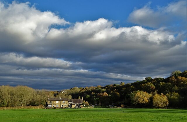
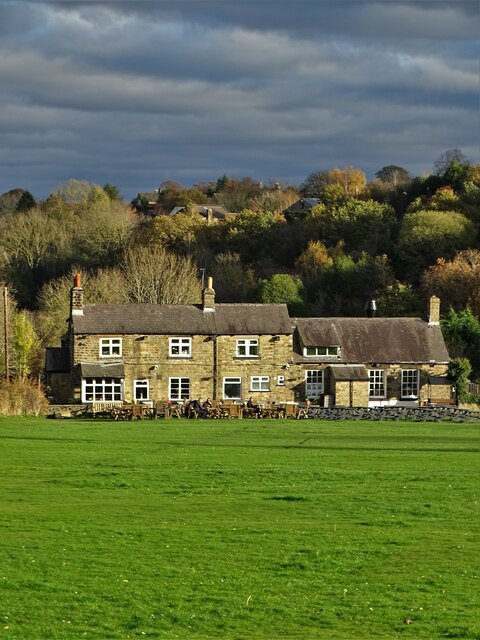
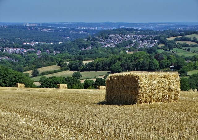
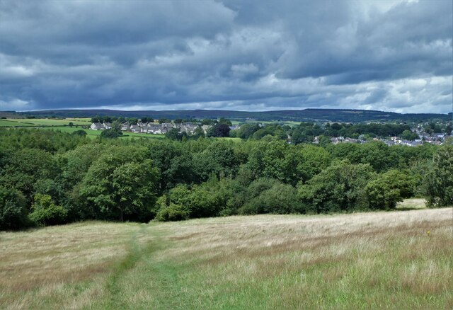
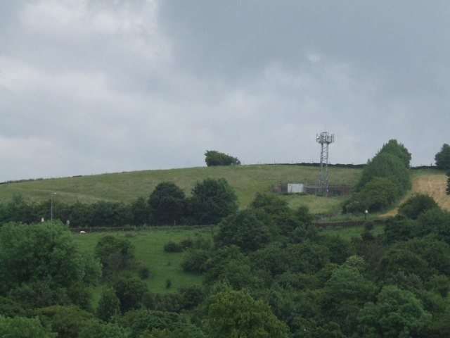
Hollin Hill, located in Derbyshire, is a picturesque hill that forms part of the stunning Peak District National Park in England. Standing at an elevation of approximately 400 meters (1,300 feet), it offers breathtaking panoramic views of the surrounding countryside.

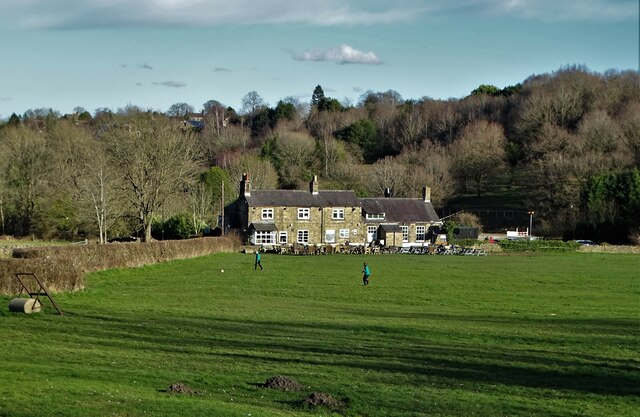
The hill is characterized by its gently sloping terrain, covered in lush green grass and dotted with scattered trees. It is primarily composed of limestone, which gives the landscape a unique charm. The slopes are relatively easy to navigate, making it a popular destination for hikers and nature lovers of all abilities.

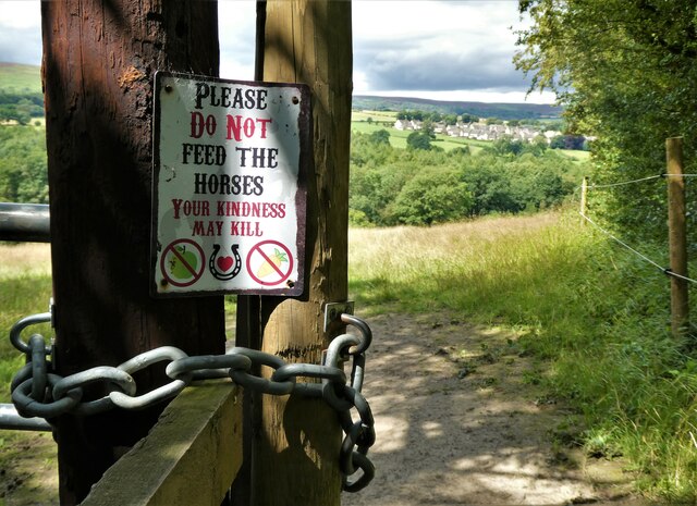
Hollin Hill is known for its diverse range of flora and fauna, making it a haven for wildlife enthusiasts. Its grassy slopes are home to numerous species of wildflowers, including orchids and bluebells, which create a vibrant burst of color in the spring and summer months. Visitors may also spot various bird species, such as kestrels and peregrine falcons, soaring through the skies.

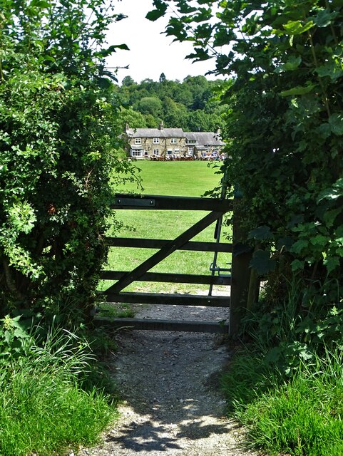
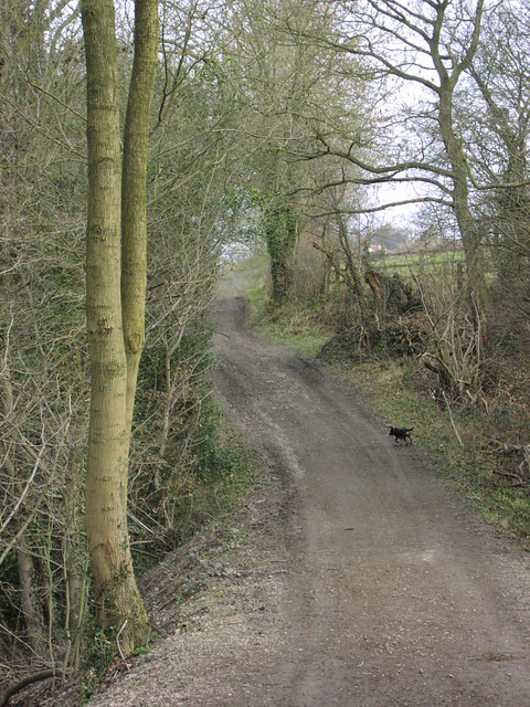
The hill is easily accessible, with a network of well-maintained footpaths and trails leading to its summit. At the top, visitors are rewarded with breathtaking views of the surrounding countryside, including the rolling hills, quaint villages, and meandering rivers that characterize the region.

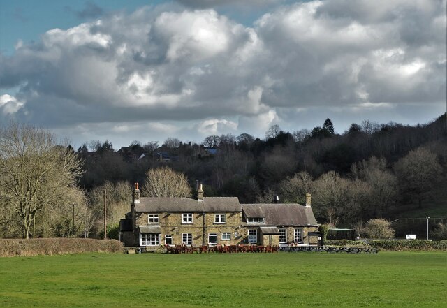
Hollin Hill offers a peaceful retreat away from the hustle and bustle of urban life, providing visitors with an opportunity to immerse themselves in the beauty of nature. Whether it's a leisurely stroll or a more challenging hike, this hill offers something for everyone, making it a must-visit destination for outdoor enthusiasts in Derbyshire.

If you have any feedback on the listing, please let us know in the comments section below.

Hollin Hill Images

Images are sourced within 2km of 53.309471/-1.5582762 or Grid Reference SK2979. Thanks to Geograph Open Source API. All images are credited.

Beneath November clouds at Totley Bents Another view of "The Cricket Inn".
Beneath November clouds at Totley Bents
Another view of "The Cricket Inn".
"The Cricket Inn"  in  Totley Bents On the edge of the city of Sheffield.
"The Cricket Inn" in Totley Bents
On the edge of the city of Sheffield.
"The Cricket Inn", Totley Bents in early springtime Two brothers, still in school uniform, are playing football on the playing-field.
"The Cricket Inn", Totley Bents in early springtime
Two brothers, still in school uniform, are playing football on the playing-field.
Gate to Totley Bents Recreation Ground With "The Cricket Inn" at the other side of the field.
Gate to Totley Bents Recreation Ground
With "The Cricket Inn" at the other side of the field.
After the Harvest Harvested field at Lydgate, Holmesfield with a view of Sheffield's southern  suburbs.
After the Harvest
Harvested field at Lydgate, Holmesfield with a view of Sheffield's southern suburbs.
"The Cricket Inn" at Totley Bents
Old milepost On the A621, Baslow Road, Totley this milepost becomes more and more neglected.   It is in a very vulnerable position opposite houses that often have parked cars making the road narrower.   The foundry name is down the front spine DARWIN & CO SHEFFIELD.   Their name is also seen on gully grates and doubtless they cast other products.   There was a Sheffield, Baslow, Owler Bar turnpike that lasted from 1803 to 1880 so this post may date from the middle to late 19C.
Old milepost
On the A621, Baslow Road, Totley this milepost becomes more and more neglected. It is in a very vulnerable position opposite houses that often have parked cars making the road narrower. The foundry name is down the front spine DARWIN & CO SHEFFIELD. Their name is also seen on gully grates and doubtless they cast other products. There was a Sheffield, Baslow, Owler Bar turnpike that lasted from 1803 to 1880 so this post may date from the middle to late 19C.
Looking back to Gillifield Wood and Totley From the edge of Woodthorpe Hall grounds
Looking back to Gillifield Wood and Totley
From the edge of Woodthorpe Hall grounds
Gillifield Wood and Totley In the southern suburbs of Sheffield
Gillifield Wood and Totley
In the southern suburbs of Sheffield
Yet another image of "The Cricket Inn" Viewed across the recreation ground at Totley Bents
Yet another image of "The Cricket Inn"
Viewed across the recreation ground at Totley Bents
Mickley Lane. This shows the New Totley end of the road which runs through to Mickley.
Mickley Lane.
This shows the New Totley end of the road which runs through to Mickley.
Near Lidgate. An easterly view in the direction of Lidgate. The B6054 road can be seen in the distance.
Near Lidgate.
An easterly view in the direction of Lidgate. The B6054 road can be seen in the distance.
Fleur De Lys public house. Located on Totley Hall Lane in the Totley area of Sheffield.
Fleur De Lys public house.
Located on Totley Hall Lane in the Totley area of Sheffield.
Near Moorwoods Hall Farm. Typical countryside near Totley on the outskirts of Sheffield.
Near Moorwoods Hall Farm.
Typical countryside near Totley on the outskirts of Sheffield.
Phone Mast at Totley
The White Lane, Totley This track runs from Woodthorpe Hall to Mickley Lane in Totley. Here a tributary of the Totley Brook is culverted and marks the boundary between Derbyshire and Yorkshire.
The White Lane, Totley
This track runs from Woodthorpe Hall to Mickley Lane in Totley. Here a tributary of the Totley Brook is culverted and marks the boundary between Derbyshire and Yorkshire.
Fanshaw Gate Lane Footpath off to the left.
Fanshaw Gate Lane
Footpath off to the left.
Fanshaw Gate Lane - Junction with the B6054
Show me another place!

Hollin Hill is located at Grid Ref: SK2979 (Lat: 53.309471, Lng: -1.5582762)

Unitary Authority: Sheffield

Police Authority: South Yorkshire

What 3 Words

///precautions.looked.wide. Near Dronfield, Derbyshire

Nearby Locations

Hollin Hill Taylor's Hill

Related Wikis

Owler Bar

Owler Bar is a small area of settlement and locally important road junction in the parish of Holmesfield, Derbyshire, England. It lies at an altitude of...

Totley

Totley is a suburb on the extreme southwest of the City of Sheffield, in South Yorkshire, England. Lying in the historic county boundaries of Derbyshire...

Blacka Moor Nature Reserve

Blacka Moor Nature Reserve is a nature reserve located on Hathersage Road between Sheffield and Hathersage in the Peak District National Park in the United...

Totley Tunnel

Totley Tunnel is a 6,230-yard (3.5 mi; 5.7 km) tunnel under Totley Moor, on the Hope Valley line between Totley on the outskirts of Sheffield and Grindleford...

Totley Moor

Totley Moor is an open moorland hill to the west of the Sheffield suburb of Totley, in the Derbyshire Peak District. The summit is 395 metres (1,296 ft...

King Ecgbert School

King Ecgbert School is a co-educational secondary school with academy status (age range 11–18) in the village of Dore in the south-west of Sheffield, South...

Old Hay Brook

The Old Hay Brook is a small river in Sheffield, South Yorkshire, England. It is formed from the Redcar Brook, Blacka Dike and another stream, which rise...

Totley Brook

The Totley Brook is a stream in Sheffield, South Yorkshire, England. It rises on a millstone grit ridge some 7 miles (11 km) to the south-west of the centre...

Nearby Amenities

Located within 500m of 53.309471,-1.5582762
Bus Stop
Baslow Road/Brickworks
Bus: yes
Departures Board: timetable
Naptan AtcoCode: 370022292
Naptan Bearing: SW
Naptan CommonName: Baslow Road/Brickworks
Naptan Indicator: 22292
Naptan Landmark: Brickworks/Dyson Refractories
Naptan Street: Baslow Road
Naptan Verified: no
Public Transport: platform
Shelter: no
Source: naptan_import
Lat/Long: 53.3070845/-1.5557348
Bus Stop
Baslow Road/Brickworks
Bus: yes
Naptan AtcoCode: 370026926
Naptan Bearing: NE
Naptan BusStopType: CUS
Naptan CommonName: Baslow Road/Brickworks
Naptan Indicator: 26926
Naptan Landmark: BRICKWORKS/DYSON REFRACTORIES
Naptan Street: Baslow Road
Naptan Verified: no
Public Transport: platform
Source: naptan_import
Lat/Long: 53.3072503/-1.5557697
Bus Stop
Gillfield Wood Terminus/Baslow Road
Alt Name: Gillfield Wood Terminus/Baslow Road
Bus: yes
Departures Board: timetable
Naptan AltCommonName: Gillfield Wood Terminus/Baslow Road
Naptan AtcoCode: 370027348
Naptan Bearing: N
Naptan CommonName: Gillfield Wood Terminus/Baslow Road
Naptan Indicator: 27348
Naptan Landmark: 27348
Naptan Street: Gillfield Wood Terminus
Naptan Verified: yes
Public Transport: platform
Shelter: no
Source: naptan_import
Lat/Long: 53.3087433/-1.5526444
Barrier: stile
Lat/Long: 53.3078858/-1.5513333
Power: pole
Lat/Long: 53.3136859/-1.5608107
Hollin Hill
Place: locality
Lat/Long: 53.309525/-1.5554344
Ele: 248.0000000
Lat/Long: 53.3056318/-1.5578508
Baslow Road/Brickworks
Bus: yes
Public Transport: stop_position
Lat/Long: 53.3071311/-1.5558196
Gillfield Wood Terminus/Baslow Road
Bus: yes
Public Transport: stop_position
Lat/Long: 53.3087774/-1.5526064
Barrier: stile
Lat/Long: 53.309554/-1.5516305
Barrier: stile
Lat/Long: 53.3103713/-1.5510627
Sheffield
Alt Name: Totley
Traffic Sign: city_limit
Lat/Long: 53.3079261/-1.5548374
Parking
Capacity: 5
Fee: no
Lat/Long: 53.3088061/-1.5520443
Baslow Road/Brickworks
Bus: yes
Public Transport: stop_position
Lat/Long: 53.3072349/-1.5556999
Barrier: stile
Lat/Long: 53.3094583/-1.5517192
Barrier: stile
Lat/Long: 53.3088567/-1.5517708
Entrance: yes
Lat/Long: 53.3088864/-1.5643436
Bench
Backrest: no
Lat/Long: 53.3112543/-1.5633014
The data included in this document is from www.openstreetmap.org. The data is made available under ODbL.

Have you been to Hollin Hill?

Leave your review of Hollin Hill below (or comments, questions and feedback).