Alfred's Hill

Hill, Mountain in Berkshire Vale of White Horse

England

Alfred's Hill

Oxleaze Farm
Oxleaze Farm Credit: N Chadwick

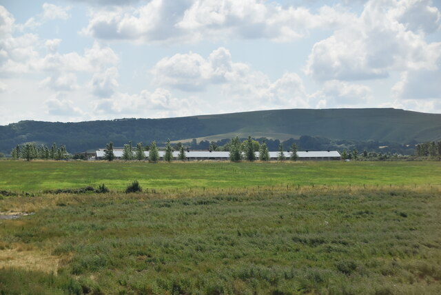
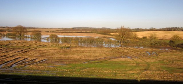
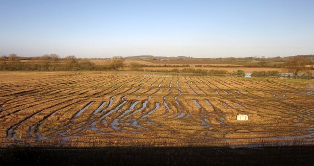
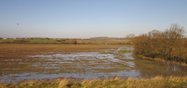
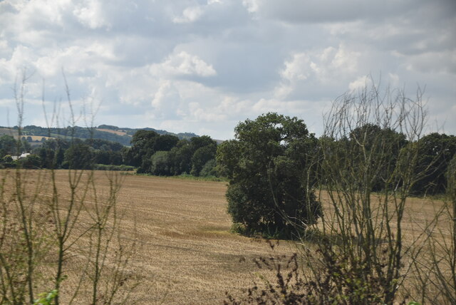
Alfred's Hill, located in Berkshire, England, is a prominent and picturesque hill known for its historical significance and scenic beauty. Rising to an elevation of approximately 200 meters, it stands as a prominent landmark in the region and offers magnificent views of the surrounding countryside.

The hill derives its name from King Alfred the Great, an Anglo-Saxon monarch who played a significant role in the defense against Viking invasions during the 9th century. Legend has it that King Alfred used the hill as a vantage point to observe and plan his military strategies against the Vikings. Today, it serves as a reminder of the historical events that unfolded in the area.

Alfred's Hill is covered with lush greenery and offers a variety of flora and fauna, making it a popular spot for nature enthusiasts and hikers. The natural beauty of the hill is complemented by its well-maintained walking trails, which allow visitors to explore the area at their own pace. From the hill's summit, one can enjoy breathtaking panoramic views of the Berkshire countryside, including rolling hills, meandering rivers, and charming villages.

The hill also attracts history buffs who are interested in King Alfred's legacy. Interpretive signs and plaques are scattered throughout the hill, providing information about the historical significance of the area and its connection to King Alfred.

Overall, Alfred's Hill in Berkshire is a captivating destination that combines history, natural beauty, and recreational opportunities. Whether one is interested in exploring its historical significance or simply enjoying the stunning views, this hill offers a memorable experience for visitors of all ages.

If you have any feedback on the listing, please let us know in the comments section below.

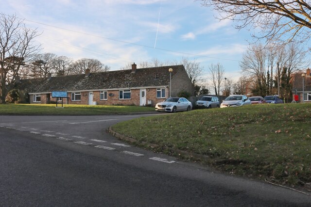
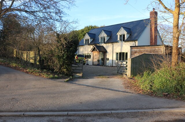
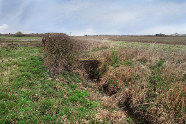
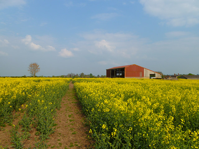
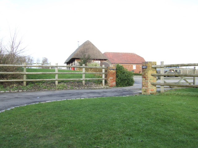
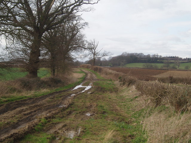
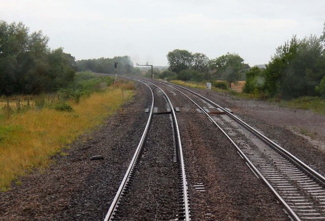
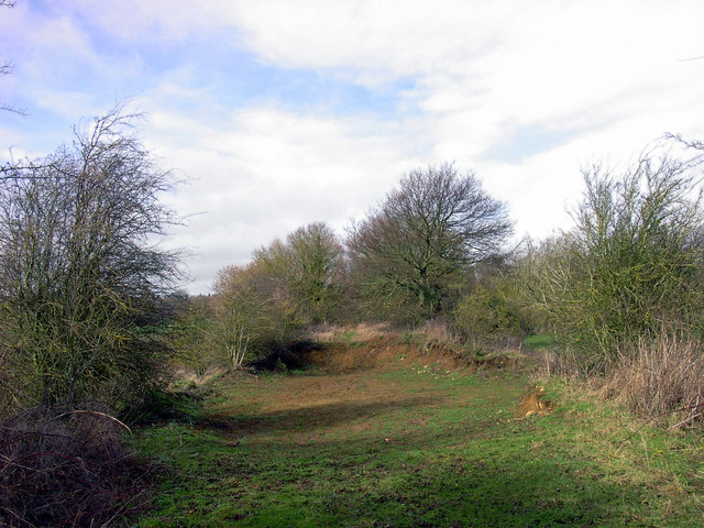
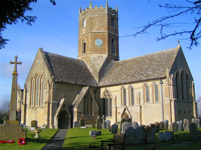
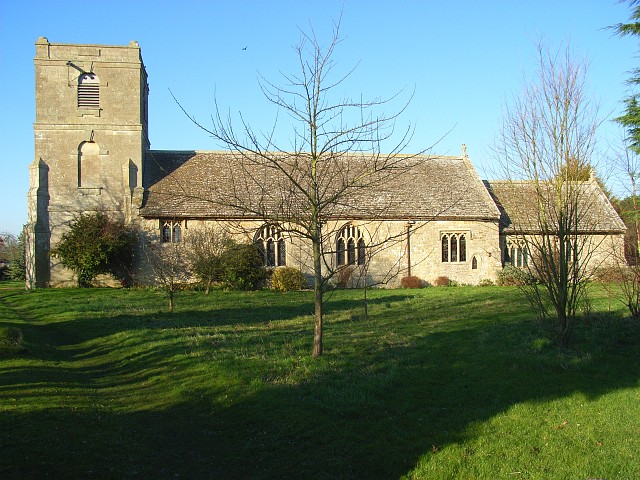
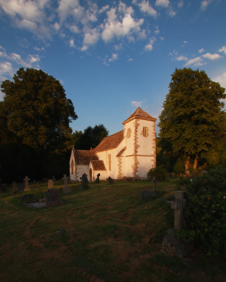
Alfred's Hill Images

Images are sourced within 2km of 51.610986/-1.5821367 or Grid Reference SU2990. Thanks to Geograph Open Source API. All images are credited.

Oxleaze Farm
Oxleaze Farm
Barns at Farmer Gow's
St. Mary's church, Longcot
Shrivenham Road, Longcot At the corner of Mallins Lane
Shrivenham Road, Longcot
At the corner of Mallins Lane
St John's Church, Fernham
Elmside at the junction of the B4508, Fernham
House on High Street, Fernham At the entrance to St John's Church
House on High Street, Fernham
At the entrance to St John's Church
Small Stream near Longcot One of the many small watercourses which drain the flat landscape of the River Ock catchment.
Small Stream near Longcot
One of the many small watercourses which drain the flat landscape of the River Ock catchment.
St Mary's Church, Longcot
Farmland, Uffington A footpath approaching barns near Grounds Farm from Oxleaze Farm.
Farmland, Uffington
A footpath approaching barns near Grounds Farm from Oxleaze Farm.
Flooded field by the Ock Only the nearer part of this field is in square; the flooded part, next to the river, is in <a href="https://www.geograph.org.uk/gridref/SU2890">SU2890</a>.
Flooded field by the Ock
Only the nearer part of this field is in square; the flooded part, next to the river, is in SU2890.
Flooded field by the Ock The field shown in <a href="https://www.geograph.org.uk/photo/3237498">SU2889 : Flooded field by the Ock</a>, a little further southwest, and similarly from a train travelling between Reading and Bristol. The river Ock flows along the far side.
Flooded field by the Ock
The field shown in SU2889 : Flooded field by the Ock, a little further southwest, and similarly from a train travelling between Reading and Bristol. The river Ock flows along the far side.
Flooded field near the Ock The River Ock runs along the far distant side of this field, which is crossed over on the left by the D'Arcy Dalton Way, heading to the village of Longcot on the left, a mile away.
Flooded field near the Ock
The River Ock runs along the far distant side of this field, which is crossed over on the left by the D'Arcy Dalton Way, heading to the village of Longcot on the left, a mile away.
Isolated tree
Isolated tree
Lockeys This thatched building is set back from the lane opposite Moor Mill Farm.
Lockeys
This thatched building is set back from the lane opposite Moor Mill Farm.
Barrowbush bridleway View from the bridle way facing toward Fernham with Ringdale hill in the background
Barrowbush bridleway
View from the bridle way facing toward Fernham with Ringdale hill in the background
Level crossing near Uffington The crossing was at the western end of Uffington Station. A branch line ran from here to Faringdon until 1964.
Level crossing near Uffington
The crossing was at the western end of Uffington Station. A branch line ran from here to Faringdon until 1964.
Vanished Bridge Section of the Faringdon railway line.
The bridge shown on the map has been quarried away. Useful stonework recycled somewhere else?
Vanished Bridge
Section of the Faringdon railway line. The bridge shown on the map has been quarried away. Useful stonework recycled somewhere else?
Show me another place!

Alfred's Hill is located at Grid Ref: SU2990 (Lat: 51.610986, Lng: -1.5821367)

Administrative County: Oxfordshire

District: Vale of White Horse

Police Authority: Thames Valley

What 3 Words

///quickly.suspect.showering. Near Faringdon, Oxfordshire

Nearby Locations

Alfred's Hill

Related Wikis

Uffington, Oxfordshire

Uffington is a village and civil parish in Oxfordshire, about 4 miles (6.4 km) south of Faringdon and 6 miles (10 km) west of Wantage. The 2011 Census...

Fernham

Fernham is a village and civil parish about 2 miles (3 km) south of Faringdon in the Vale of White Horse, Oxfordshire, England. Fernham was historically...

Tom Brown's School Museum

Tom Brown's School Museum is a local museum in the village of Uffington (near Faringdon), Oxfordshire, England. It was opened in 1984.The museum covers...

Longcot

Longcot is a village and civil parish in the Vale of White Horse District. It was part of Berkshire until the 1974 boundary changes transferred it to Oxfordshire...

Uffington railway station

Uffington railway station (sometimes marked as Uffington Junction) is a former station on the Great Western Main Line. The station was located north-east...

Woolstone, Oxfordshire

Woolstone is a village and civil parish about 4+1⁄2 miles (7 km) south of Faringdon in the Vale of White Horse. Woolstone was part of Berkshire until the...

Baulking

Baulking or Balking is a village and civil parish about 3+1⁄2 miles (5.6 km) southeast of Faringdon in the Vale of White Horse district of Oxfordshire...

Compton Beauchamp

Compton Beauchamp is a hamlet and civil parish 3 miles (5 km) southeast of Shrivenham in the Vale of White Horse, England. It was part of Berkshire until...

Nearby Amenities

Located within 500m of 51.610986,-1.5821367
Man Made: tower
Source: Bing
Lat/Long: 51.6109582/-1.5798638
Material: wood
Power: pole
Source: Bing
Lat/Long: 51.6081784/-1.5767191
Material: wood
Power: pole
Source: Bing
Lat/Long: 51.610654/-1.5811438
Material: wood
Power: pole
Source: Bing
Lat/Long: 51.6101644/-1.5801309
Material: wood
Power: pole
Source: Bing
Lat/Long: 51.6096723/-1.5791229
Material: wood
Power: pole
Source: Bing
Lat/Long: 51.6087197/-1.5774557
Material: wood
Power: pole
Lat/Long: 51.6091115/-1.5779676
Material: wood
Power: pole
Lat/Long: 51.6111262/-1.5821103
Power: pole
Lat/Long: 51.6134345/-1.5840233
Power: pole
Lat/Long: 51.6124968/-1.5839026
Power: pole
Lat/Long: 51.6143628/-1.5841462
The data included in this document is from www.openstreetmap.org. The data is made available under ODbL.

Have you been to Alfred's Hill?

Leave your review of Alfred's Hill below (or comments, questions and feedback).