Lenny Hill

Hill, Mountain in Derbyshire

England

Lenny Hill

Beneath November clouds at Totley Bents Another view of "The Cricket Inn".
Beneath November clouds at Totley Bents Credit: Neil Theasby

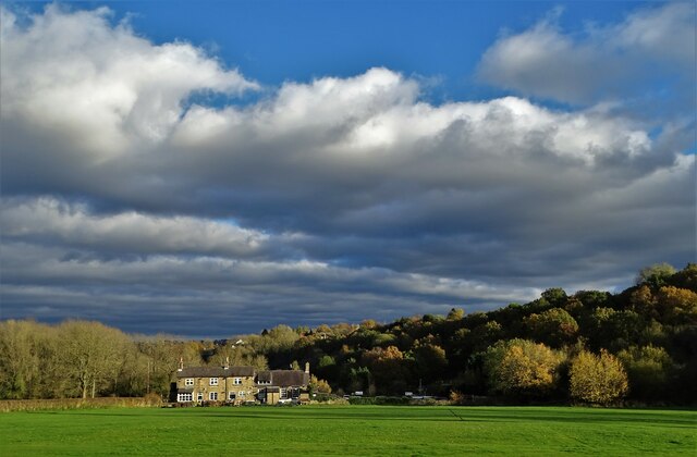
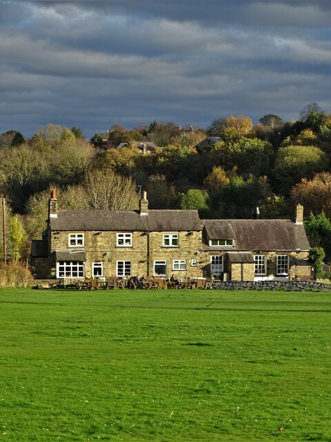
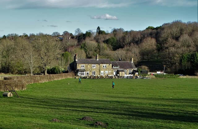
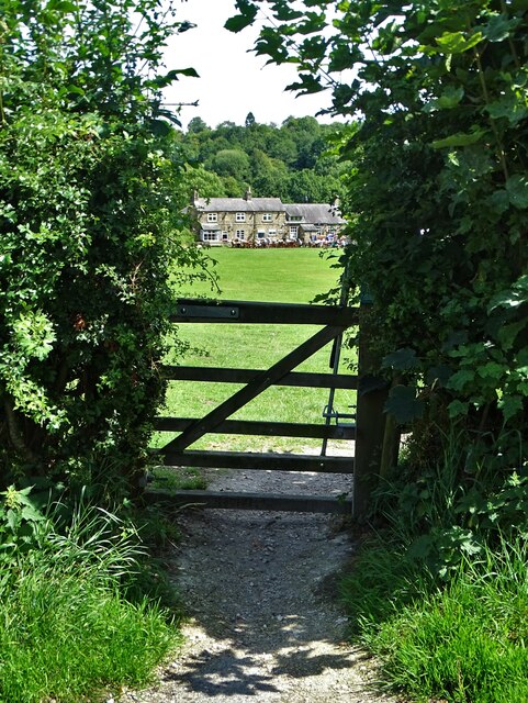
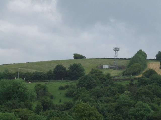
Lenny Hill is a prominent geographical feature located in Derbyshire, England. It is a picturesque hill situated in the southern part of the county, near the village of Lenny. Lenny Hill is known for its scenic beauty, attracting both locals and tourists alike.

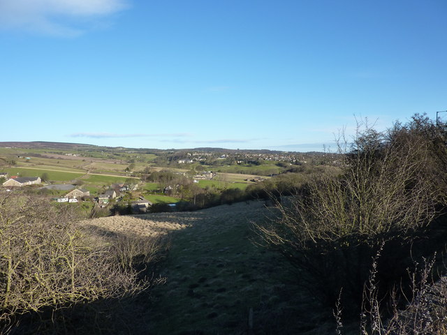
Standing at an elevation of approximately 400 meters (1,312 feet), Lenny Hill offers breathtaking views of the surrounding countryside. The hill is covered in lush greenery, with a mix of grasslands, heather, and scattered trees. Its gentle slopes make it an ideal spot for hiking and leisurely walks, attracting outdoor enthusiasts throughout the year.

The summit of Lenny Hill provides panoramic views of the nearby towns and villages, as well as the rolling hills and valleys that characterize the landscape of Derbyshire. On a clear day, visitors can spot famous landmarks such as Chatsworth House and the Peak District National Park from the top of the hill.

Lenny Hill is also home to a diverse range of wildlife, including various bird species, small mammals, and insects. The hill's natural habitats provide a haven for these creatures, making it a popular destination for wildlife enthusiasts and birdwatchers.

Overall, Lenny Hill offers a tranquil and picturesque escape from the hustle and bustle of everyday life. Its natural beauty, stunning views, and diverse wildlife make it a hidden gem in the Derbyshire countryside.

If you have any feedback on the listing, please let us know in the comments section below.
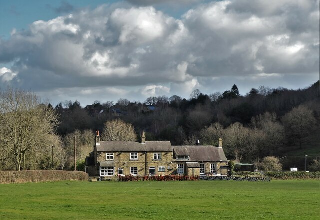
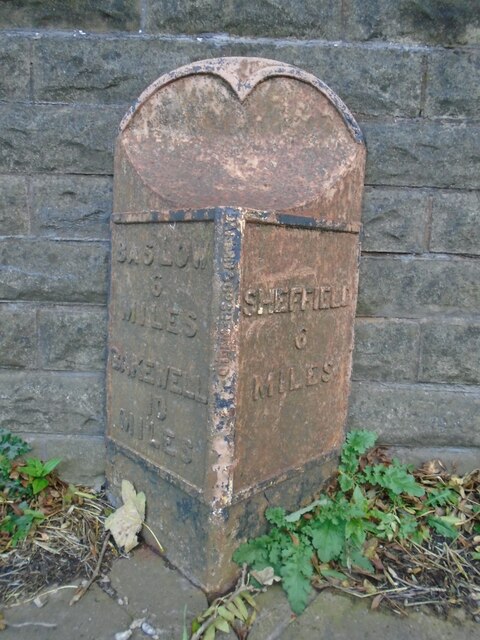
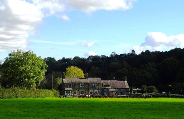
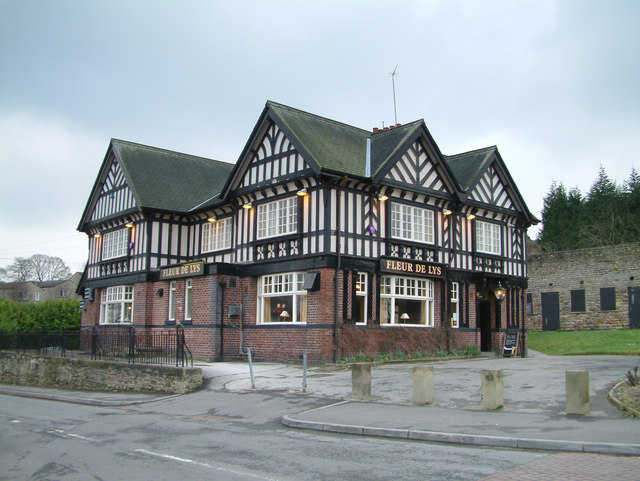
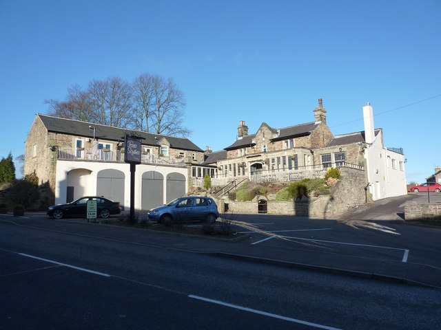
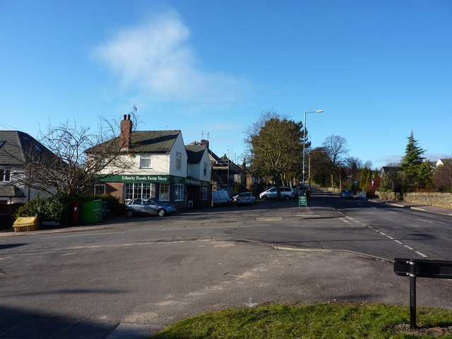
Lenny Hill Images

Images are sourced within 2km of 53.319629/-1.5657222 or Grid Reference SK2980. Thanks to Geograph Open Source API. All images are credited.

Beneath November clouds at Totley Bents Another view of "The Cricket Inn".
Beneath November clouds at Totley Bents
Another view of "The Cricket Inn".
"The Cricket Inn"  in  Totley Bents On the edge of the city of Sheffield.
"The Cricket Inn" in Totley Bents
On the edge of the city of Sheffield.
"The Cricket Inn", Totley Bents in early springtime Two brothers, still in school uniform, are playing football on the playing-field.
"The Cricket Inn", Totley Bents in early springtime
Two brothers, still in school uniform, are playing football on the playing-field.
Gate to Totley Bents Recreation Ground With "The Cricket Inn" at the other side of the field.
Gate to Totley Bents Recreation Ground
With "The Cricket Inn" at the other side of the field.
"The Cricket Inn" at Totley Bents
Old milepost On the A621, Baslow Road, Totley this milepost becomes more and more neglected.   It is in a very vulnerable position opposite houses that often have parked cars making the road narrower.   The foundry name is down the front spine DARWIN & CO SHEFFIELD.   Their name is also seen on gully grates and doubtless they cast other products.   There was a Sheffield, Baslow, Owler Bar turnpike that lasted from 1803 to 1880 so this post may date from the middle to late 19C.
Old milepost
On the A621, Baslow Road, Totley this milepost becomes more and more neglected. It is in a very vulnerable position opposite houses that often have parked cars making the road narrower. The foundry name is down the front spine DARWIN & CO SHEFFIELD. Their name is also seen on gully grates and doubtless they cast other products. There was a Sheffield, Baslow, Owler Bar turnpike that lasted from 1803 to 1880 so this post may date from the middle to late 19C.
Yet another image of "The Cricket Inn" Viewed across the recreation ground at Totley Bents
Yet another image of "The Cricket Inn"
Viewed across the recreation ground at Totley Bents
Fleur De Lys public house. Located on Totley Hall Lane in the Totley area of Sheffield.
Fleur De Lys public house.
Located on Totley Hall Lane in the Totley area of Sheffield.
Phone Mast at Totley
Sunday Junior Football near The Cricket Inn, Totley.
Houses at Totley Bents, Sheffield Further on is Townhead, Dore
Houses at Totley Bents, Sheffield
Further on is Townhead, Dore
A War Memorial, Totley, Sheffield
Cross Scythes, Totley
Liberty Foods Farm Shop Junction of Main Avenue and Baslow Road, Totley, Sheffield
Liberty Foods Farm Shop
Junction of Main Avenue and Baslow Road, Totley, Sheffield
The Pinfold Garden, Hillfoot Road, Totley "The original use of this area as listed in the 1847 awards was for impounding stray cattle and horses and held by the pinder until a fee was paid,namely " a pinfold". Totley and District Environment Society created and funded this project in the late 1970's, assistance with labour was by students of Totley Polytechnic College. The water troughs were raised from their original position 8 feet below the present ground level. These had been fed from a spring. They were buried beneath tipped rubbish for almost forty years. Ownership is by the residents of Totley." From a descriptive plaque in the garden
The Pinfold Garden, Hillfoot Road, Totley
"The original use of this area as listed in the 1847 awards was for impounding stray cattle and horses and held by the pinder until a fee was paid,namely " a pinfold". Totley and District Environment Society created and funded this project in the late 1970's, assistance with labour was by students of Totley Polytechnic College. The water troughs were raised from their original position 8 feet below the present ground level. These had been fed from a spring. They were buried beneath tipped rubbish for almost forty years. Ownership is by the residents of Totley." From a descriptive plaque in the garden
Totley Mews building site
The A621 Baslow Road
Footpath near the A621 Baslow Road
Show me another place!

Lenny Hill is located at Grid Ref: SK2980 (Lat: 53.319629, Lng: -1.5657222)

Unitary Authority: Sheffield

Police Authority: South Yorkshire

What 3 Words

///galaxy.crew.layers. Near Hathersage, Derbyshire

Nearby Locations

Lenny Hill

Related Wikis

Blacka Moor Nature Reserve

Blacka Moor Nature Reserve is a nature reserve located on Hathersage Road between Sheffield and Hathersage in the Peak District National Park in the United...

Totley Moor

Totley Moor is an open moorland hill to the west of the Sheffield suburb of Totley, in the Derbyshire Peak District. The summit is 395 metres (1,296 ft...

Totley Tunnel

Totley Tunnel is a 6,230-yard (3.5 mi; 5.7 km) tunnel under Totley Moor, on the Hope Valley line between Totley on the outskirts of Sheffield and Grindleford...

Fox House, South Yorkshire

Fox House is a 17th-century Grade-II listed Inn, located near the Longshaw Estate in the Peak District, near the border between South Yorkshire and Derbyshire...

Dore, South Yorkshire

Dore is a large village in South Yorkshire, England. The village lies on a hill above the River Sheaf which gave Sheffield its name and, until 1934, was...

King Ecgbert School

King Ecgbert School is a co-educational secondary school with academy status (age range 11–18) in the village of Dore in the south-west of Sheffield, South...

Totley Brook

The Totley Brook is a stream in Sheffield, South Yorkshire, England. It rises on a millstone grit ridge some 7 miles (11 km) to the south-west of the centre...

Totley

Totley is a suburb on the extreme southwest of the City of Sheffield, in South Yorkshire, England. Lying in the historic county boundaries of Derbyshire...

Nearby Amenities

Located within 500m of 53.319629,-1.5657222
Ford: stepping_stones
Lat/Long: 53.3229576/-1.5640126
Barrier: stile
Lat/Long: 53.3158909/-1.5622534
Power: pole
Lat/Long: 53.3153806/-1.5634296
Lenny Hill
Place: locality
Lat/Long: 53.3195395/-1.5654429
Parking
Capacity: 3
Fee: no
Lat/Long: 53.3159566/-1.5614484
Marker: post
Lat/Long: 53.3170837/-1.5627901
Marker: post
Lat/Long: 53.3187804/-1.5609288
Bench
Lat/Long: 53.3189186/-1.5669219
Marker: aerial
Lat/Long: 53.317951/-1.561756
Bench
Backrest: no
Lat/Long: 53.3175301/-1.5684276
The data included in this document is from www.openstreetmap.org. The data is made available under ODbL.

Have you been to Lenny Hill?

Leave your review of Lenny Hill below (or comments, questions and feedback).