London Hill
Hill, Mountain in Hampshire Test Valley
England
London Hill

London Hill is a prominent geographical feature located in Hampshire, England. Although referred to as a hill, it is more accurately described as a small mountain due to its significant elevation and commanding presence in the region. Rising to a height of approximately 300 meters (984 feet) above sea level, it offers breathtaking panoramic views of the surrounding countryside.
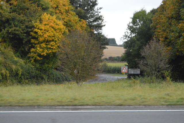
Situated in the southwestern part of Hampshire, London Hill is easily accessible and attracts both locals and tourists alike. The hill is adorned with lush greenery, characterized by a mix of deciduous and coniferous trees, creating a picturesque landscape that changes with the seasons. The vibrant colors of spring and autumn, coupled with the tranquility of the area, make it a popular destination for nature enthusiasts and hikers.
The summit of London Hill provides a vantage point from which visitors can enjoy stunning vistas stretching across the Hampshire countryside, including the nearby villages and rolling hills. On clear days, it is even possible to catch a glimpse of the English Channel in the distance.
The area surrounding London Hill is rich in wildlife, with various species of birds, mammals, and insects making their home in this natural habitat. Nature lovers can spot a diverse range of creatures, including foxes, deer, and a plethora of bird species.
London Hill also has historical significance, with remnants of Iron Age hill forts and ancient burial mounds found in its vicinity. These archaeological features add an additional layer of interest for those curious about Hampshire's past.
Overall, London Hill is a captivating destination that offers breathtaking scenery, abundant wildlife, and a glimpse into the region's history. Whether exploring its trails, admiring the views, or appreciating its natural beauty, a visit to London Hill is an enriching experience for all.
If you have any feedback on the listing, please let us know in the comments section below.
London Hill Images
Images are sourced within 2km of 51.203937/-1.5857421 or Grid Reference SU2945. Thanks to Geograph Open Source API. All images are credited.


London Hill is located at Grid Ref: SU2945 (Lat: 51.203937, Lng: -1.5857421)
Administrative County: Hampshire
District: Test Valley
Police Authority: Hampshire
What 3 Words
///strongman.pets.open. Near Abbotts Ann, Hampshire
Nearby Locations
Related Wikis

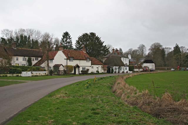
Thruxton, Hampshire
Thruxton is just off the A303 road five miles (8.0 km) west of Andover. It is a village with a Manor House, thatched cottages and village green. Pillhill...
East Cholderton
East Cholderton is a hamlet in the civil parish of Amport in the Test Valley district of Hampshire, England. Its nearest town is Andover which lies approximately...

Amport House
Amport House is a country house near the village of Amport, Andover, Hampshire, England. It is a Grade II listed building. The house was built in 1857...
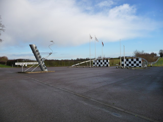
Thruxton Aerodrome
Thruxton Aerodrome (ICAO: EGHO) is located in Thruxton, 4.5 NM (8.3 km; 5.2 mi) west of Andover, in Hampshire, England. The airfield was opened in 1942...

Thruxton Circuit
The Thruxton Circuit is a 2.356 mi (3.792 km) motor-racing circuit located near the village of Thruxton in Hampshire, England, United Kingdom, about 30...
Fox Amport
Fox is a hamlet in the civil parish of Amport in the Test Valley district of Hampshire, England. Its nearest town is Andover, which lies approximately...
Amport
Amport is a village and civil parish in the Test Valley district of Hampshire, England, a few miles west of Andover. It incorporates the small hamlet...
Fyfield, Hampshire
Fyfield is a village and civil parish in the Test Valley district of north west Hampshire, England. Its nearest town is Andover. Part of Redenham Park...
Nearby Amenities
Located within 500m of 51.203937,-1.5857421Have you been to London Hill?
Leave your review of London Hill below (or comments, questions and feedback).