Blacklow Hill

Hill, Mountain in Warwickshire Warwick

England

Blacklow Hill

Speed Limit, Sandy Lane, Old Milverton The car is coming away from Old Milverton, along Sandy Lane towards Blackdown, and has just crossed the bridge over the Leamington-Coventry railway, the parapet of which can be seen behind the car to its right.
Speed Limit, Sandy Lane, Old Milverton Credit: A J Paxton

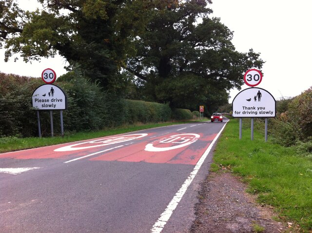
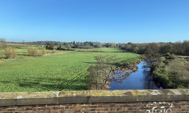
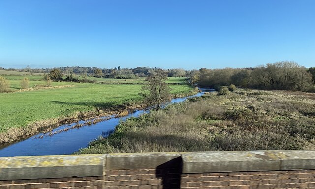
Blacklow Hill is a prominent hill located in Warwickshire, England. Situated approximately 2 miles east of Warwick town, it forms part of the larger range known as the Warwickshire Hills. With an elevation of 168 meters (551 feet), it offers picturesque views of the surrounding countryside and is a popular spot for outdoor enthusiasts.

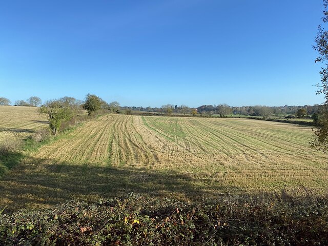
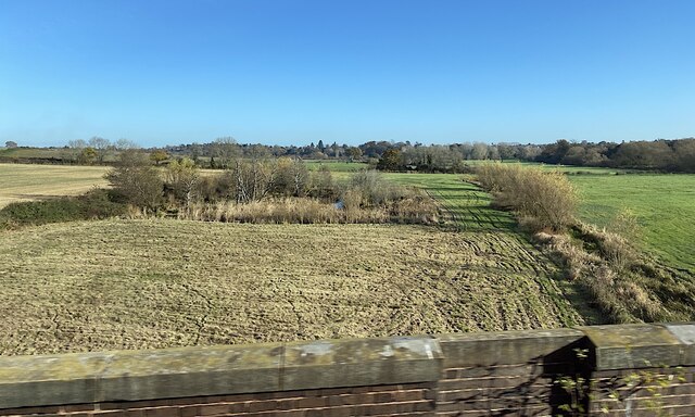
The hill is characterized by its gently sloping sides and is covered in lush green vegetation, including grasses, shrubs, and scattered trees. The summit of Blacklow Hill provides a panoramic vista that encompasses the Warwickshire plains, with landmarks such as Warwick Castle and the historic town of Stratford-upon-Avon visible on a clear day.

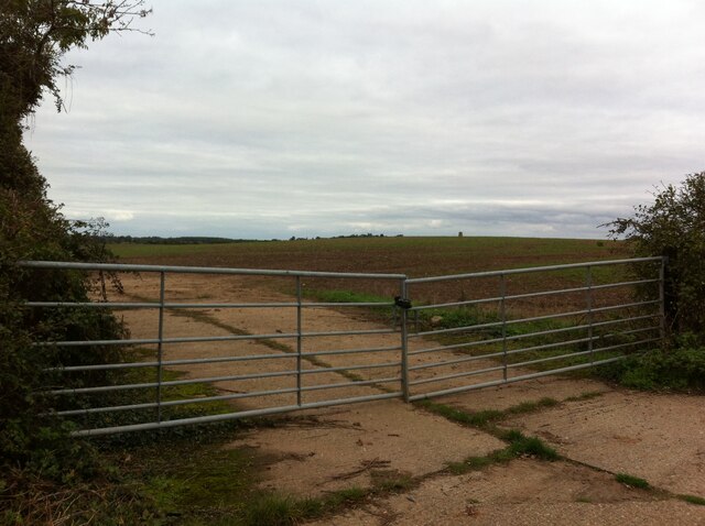
A network of footpaths and trails crisscross the hill, offering visitors the opportunity to explore its natural beauty and enjoy recreational activities such as hiking, walking, and nature watching. The area is home to a diverse range of wildlife, including various bird species, mammals, and insects.

Blacklow Hill has historical significance too, as it is believed to have been inhabited since prehistoric times. Archaeological discoveries in the area have unearthed artifacts dating back to the Bronze Age, suggesting human activity in the vicinity for thousands of years.

Overall, Blacklow Hill is a scenic and historically rich destination, attracting both nature lovers and history enthusiasts alike. Its tranquil ambiance, stunning views, and abundant wildlife make it a cherished landmark in Warwickshire.

If you have any feedback on the listing, please let us know in the comments section below.

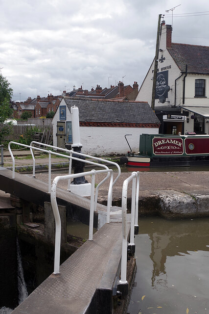
Blacklow Hill Images

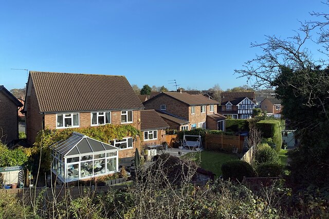
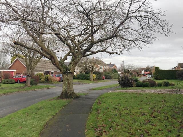
Images are sourced within 2km of 52.306501/-1.5829866 or Grid Reference SP2867. Thanks to Geograph Open Source API. All images are credited.

Speed Limit, Sandy Lane, Old Milverton The car is coming away from Old Milverton, along Sandy Lane towards Blackdown, and has just crossed the bridge over the Leamington-Coventry railway, the parapet of which can be seen behind the car to its right.
Speed Limit, Sandy Lane, Old Milverton
The car is coming away from Old Milverton, along Sandy Lane towards Blackdown, and has just crossed the bridge over the Leamington-Coventry railway, the parapet of which can be seen behind the car to its right.
Hill with trig point seen from Sandy Lane, Old Milverton The trig point, which is 73m above sea level according to the OS map, can be seen on the horizon above the right hand gate.
Hill with trig point seen from Sandy Lane, Old Milverton
The trig point, which is 73m above sea level according to the OS map, can be seen on the horizon above the right hand gate.
Stubble field, northern edge of the Avon valley Seen from a Coventry-Leamington Spa train. The Avon is to the right. In the distance is the Blackdown area north of Leamington.
Stubble field, northern edge of the Avon valley
Seen from a Coventry-Leamington Spa train. The Avon is to the right. In the distance is the Blackdown area north of Leamington.
A pond and a ditch in the Avon floodplain north of Leamington The River Avon runs by the trees on the right. The suburb of Blackdown is in the distance. The view is from a Coventry-Leamington Spa train on a viaduct.
A pond and a ditch in the Avon floodplain north of Leamington
The River Avon runs by the trees on the right. The suburb of Blackdown is in the distance. The view is from a Coventry-Leamington Spa train on a viaduct.
River Avon and its floodplain north of Leamington The view is from a Coventry-Leamington Spa train crossing the Avon on a viaduct, seen from the southeast in <a href="https://www.geograph.org.uk/photo/1539066">SP3067 : River Avon floodplain</a>.
River Avon and its floodplain north of Leamington
The view is from a Coventry-Leamington Spa train crossing the Avon on a viaduct, seen from the southeast in SP3067 : River Avon floodplain.
River Avon and its floodplain north of Old Milverton The view is from a train on the Coventry-Leamington Spa line; its history is given in <a href="https://www.geograph.org.uk/photo/1915766">SP3067 : Railway at Old Milverton</a>.
River Avon and its floodplain north of Old Milverton
The view is from a train on the Coventry-Leamington Spa line; its history is given in SP3067 : Railway at Old Milverton.
Houses and gardens, Beverley Hills estate, Royal Leamington Spa The nearest houses are in Hopton Croft, seen from a Coventry-Leamington Spa train.
Houses and gardens, Beverley Hills estate, Royal Leamington Spa
The nearest houses are in Hopton Croft, seen from a Coventry-Leamington Spa train.
Houses and gardens, Millbank, Warwick Millbank first appears on an OS map of 1967. The wide-spreading flowering cherry trees, probably the popular 'Kanzan', are a feature of the estate.
Houses and gardens, Millbank, Warwick
Millbank first appears on an OS map of 1967. The wide-spreading flowering cherry trees, probably the popular 'Kanzan', are a feature of the estate.
Edmondes Close, Woodloes Park, Warwick Woodloes Park is a residential development on about 400 hectares of farmland north of the Grand Union Canal. It was laid out between the mid-1970s and the early 1980s. There is a mix of private and public housing, all low-rise. Residents enjoy ample open space, play areas and off-road footpaths. Many trees and lengths of hedgerow were retained. There is a primary school, a pub and busy local shops at Reardon Court. The estate extends west into SP2766.
Edmondes Close, Woodloes Park, Warwick
Woodloes Park is a residential development on about 400 hectares of farmland north of the Grand Union Canal. It was laid out between the mid-1970s and the early 1980s. There is a mix of private and public housing, all low-rise. Residents enjoy ample open space, play areas and off-road footpaths. Many trees and lengths of hedgerow were retained. There is a primary school, a pub and busy local shops at Reardon Court. The estate extends west into SP2766.
The Cape of Good Hope, Warwick How this early 19th century canalside pub got its distinctive name seems to be shrouded in mystery but the local area is called the Cape after it. Its owners describe it as 'Warwick's best kept secret' and while it's a very prominent canal landmark it is less easy to find by road. The beer garden overlooking one of the Cape Locks is a delight on a warm day.
The Cape of Good Hope, Warwick
How this early 19th century canalside pub got its distinctive name seems to be shrouded in mystery but the local area is called the Cape after it. Its owners describe it as 'Warwick's best kept secret' and while it's a very prominent canal landmark it is less easy to find by road. The beer garden overlooking one of the Cape Locks is a delight on a warm day.
Lower Cape, Warwick This road leads down to the Cape of Good Hope pub and the Grand Union Canal. It is lined with terraced houses.
Lower Cape, Warwick
This road leads down to the Cape of Good Hope pub and the Grand Union Canal. It is lined with terraced houses.
Warwick Hospital staff parking on a Saturday It's very probable that this was normal for a Saturday. International concern about a 'novel coronavirus' was at an early stage, weeks before the first lockdown in the UK. The car park is entirely reserved for staff of South Warwickshire Foundation NHS Trust (SWIFT). In the background are businesses in Scar Bank, almost all in the motor trade.
Warwick Hospital staff parking on a Saturday
It's very probable that this was normal for a Saturday. International concern about a 'novel coronavirus' was at an early stage, weeks before the first lockdown in the UK. The car park is entirely reserved for staff of South Warwickshire Foundation NHS Trust (SWIFT). In the background are businesses in Scar Bank, almost all in the motor trade.
Old bicycle by the Grand Union Canal The rusty remains of a bicycle lie by the towpath close to bridge 49A. It has probably been fished out of the water.
Old bicycle by the Grand Union Canal
The rusty remains of a bicycle lie by the towpath close to bridge 49A. It has probably been fished out of the water.
Forecourt, Warwick Glass, Montague Road, Emscote, Warwick Warwick Glass is a busy company: their vehicles are frequently seen around the area. The south side of Montague Road is home to several businesses, a self-storage site, and the County Council depot.
Forecourt, Warwick Glass, Montague Road, Emscote, Warwick
Warwick Glass is a busy company: their vehicles are frequently seen around the area. The south side of Montague Road is home to several businesses, a self-storage site, and the County Council depot.
Grand Union Canal, Warwick Looking towards bridge 49B and the lower of the two Cape Locks.
Grand Union Canal, Warwick
Looking towards bridge 49B and the lower of the two Cape Locks.
Old shopping trolley by the Grand Union Canal A little to the west of <a href="https://www.geograph.org.uk/photo/6934008">SP2866 : Old bicycle by the Grand Union Canal</a> is this shopping trolley - no doubt also pulled out of the canal.
Old shopping trolley by the Grand Union Canal
A little to the west of SP2866 : Old bicycle by the Grand Union Canal is this shopping trolley - no doubt also pulled out of the canal.
Cape Top Lock, Grand Union Canal Unusually, the top gate of this lock has two handrails. This is to allow an easy crossing from the towpath to the Cape of Good Hope pub on the opposite bank. Narrowboat 'Dreamer' is moored outside.
Cape Top Lock, Grand Union Canal
Unusually, the top gate of this lock has two handrails. This is to allow an easy crossing from the towpath to the Cape of Good Hope pub on the opposite bank. Narrowboat 'Dreamer' is moored outside.
Get Knotted Operating from this tiny building adjacent to the Cape of Good Hope pub, Get Knotted's principal business is to supply traditional rope fenders for narrowboats. They can also supply ropes for other requirements including bespoke banister ropes. See <a href="https://www.geograph.org.uk/photo/6934092">SP2766 : Cape Top Lock, Grand Union Canal</a> for a wider view showing the building.
Get Knotted
Operating from this tiny building adjacent to the Cape of Good Hope pub, Get Knotted's principal business is to supply traditional rope fenders for narrowboats. They can also supply ropes for other requirements including bespoke banister ropes. See SP2766 : Cape Top Lock, Grand Union Canal for a wider view showing the building.
Show me another place!

Blacklow Hill is located at Grid Ref: SP2867 (Lat: 52.306501, Lng: -1.5829866)

Administrative County: Warwickshire

District: Warwick

Police Authority: Warwickshire

What 3 Words

///twigs.safety.life. Near Leek Wootton, Warwickshire

Related Wikis

Leek Wootton and Guy's Cliffe

Leek Wootton & Guy's Cliffe is a civil parish in the Warwick District of Warwickshire, England. It was created when the smallest parish in England, Guy...

Warwick International School of Riding

The Warwick International School of Riding is a school of equitation (horsemanship), located just north of Warwick, Warwickshire, England. The school caters...
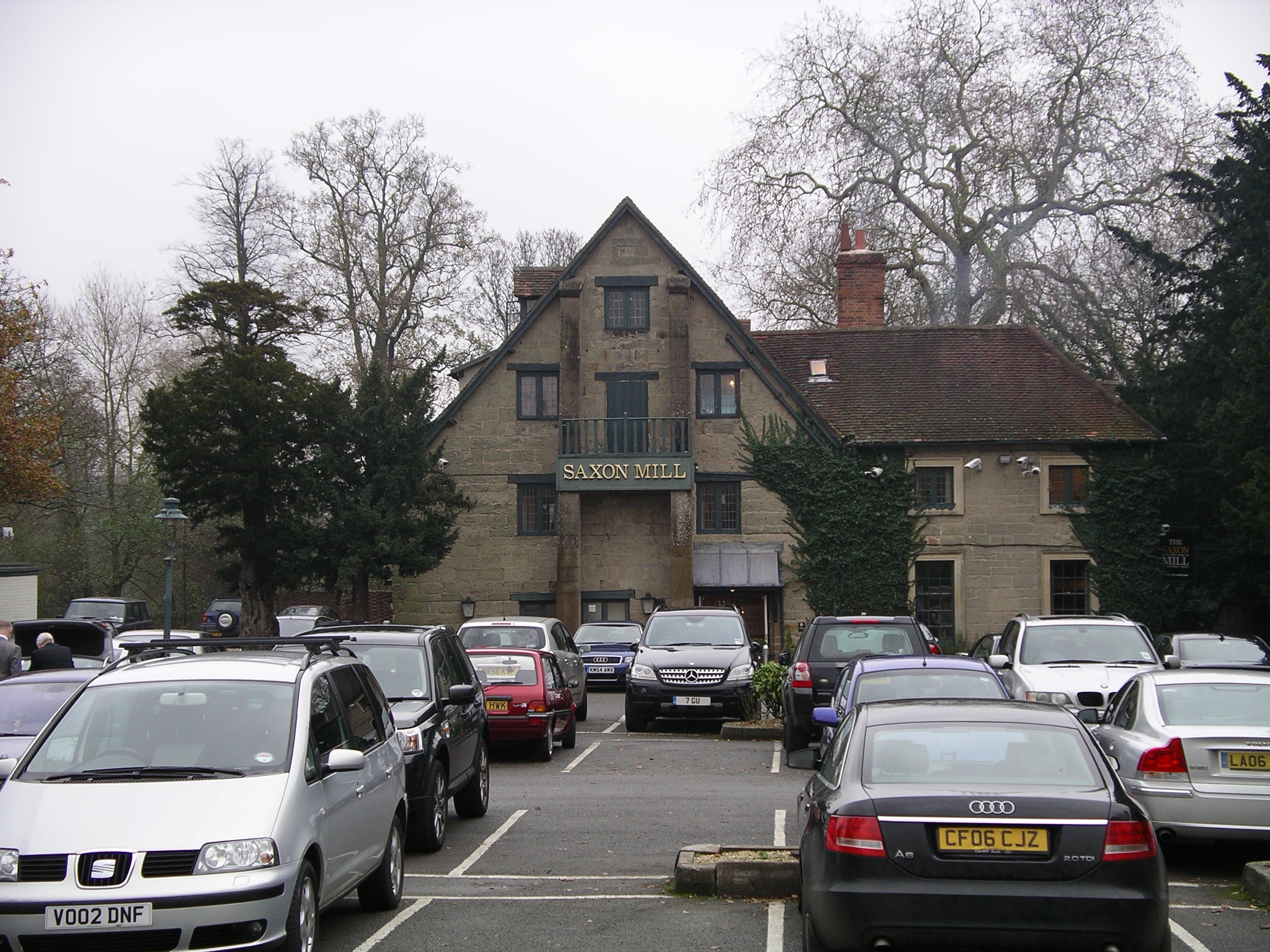
Saxon Mill

The Saxon Mill is a former mill at Guy's Cliffe, Warwickshire, England, situated about one mile northeast of the town of Warwick. It is now a restaurant...

Warwick Rural District

Warwick Rural District was a rural district of Warwickshire, England. It was created in 1894, and covered an area around, but not including, Warwick. It...

Guy's Cliffe

Guy's Cliffe (variously spelled with and without an apostrophe and a final "e") is a hamlet and former civil parish on the River Avon and the Coventry...

Old Milverton

Old Milverton is a hamlet east of Warwick and north west of Leamington Spa in Warwickshire, England, and situated in a bend of the River Avon. The population...

Leek Wootton

Leek Wootton is a village and former civil parish, now in the parish of Leek Wootton and Guy's Cliffe, in the Warwick district, in the county of Warwickshire...

Warwick and Leamington (UK Parliament constituency)

Warwick and Leamington is a constituency represented in the House of Commons of the UK Parliament since the 2017 general election by Matt Western, of the...

Nearby Amenities

Located within 500m of 52.306501,-1.5829866
Motorway Junction
Blacklow Roundabout
Lat/Long: 52.3045373/-1.5765221
Brand: National Grid
Brand Wikidata: Q1465461
Material: metal
Operator: National Grid Electricity Distribution
Operator Old: Western Power Distribution
Operator Wikidata: Q7988183
Owner: National Grid Electricity Distribution (East Midlands) Plc
Owner Wikidata: Q114348127
Power: tower
Lat/Long: 52.3048609/-1.5846249
Brand: National Grid
Brand Wikidata: Q1465461
Material: metal
Operator: National Grid Electricity Distribution
Operator Old: Western Power Distribution
Operator Wikidata: Q7988183
Owner: National Grid Electricity Distribution (East Midlands) Plc
Owner Wikidata: Q114348127
Power: tower
Lat/Long: 52.3041952/-1.5805551
Brand: National Grid
Brand Wikidata: Q1465461
Material: metal
Operator: National Grid Electricity Distribution
Operator Old: Western Power Distribution
Operator Wikidata: Q7988183
Owner: National Grid Electricity Distribution (East Midlands) Plc
Owner Wikidata: Q114348127
Power: tower
Lat/Long: 52.3055167/-1.5887388
Barrier: kissing_gate
Lat/Long: 52.3072363/-1.5822525
Man Made: survey_point
Lat/Long: 52.3066648/-1.5834631
Gaveston's Cross
Historic: memorial
Inscription: In the hollow of this rock was beheaded on the 17 day of July 1312, by barons lawless as himself, Piers Gaveston, Earl of Cornwall, the minion of a hateful king, in life and death a memorable instance of misrule.
Man Made: cross
Memorial: cross
Wikidata: Q26646664
Lat/Long: 52.3051459/-1.577273
Aeroway: helipad
Source: Warwicks CC Aerial Imagery 2013
Lat/Long: 52.3093807/-1.5884612
The data included in this document is from www.openstreetmap.org. The data is made available under ODbL.

Have you been to Blacklow Hill?

Leave your review of Blacklow Hill below (or comments, questions and feedback).