Lower Covert

Wood, Forest in Warwickshire Warwick

England

Lower Covert

Speed Limit, Sandy Lane, Old Milverton The car is coming away from Old Milverton, along Sandy Lane towards Blackdown, and has just crossed the bridge over the Leamington-Coventry railway, the parapet of which can be seen behind the car to its right.
Speed Limit, Sandy Lane, Old Milverton Credit: A J Paxton

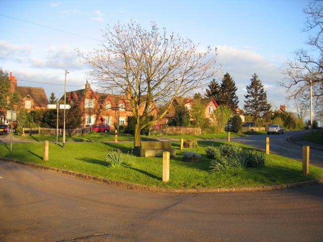
Lower Covert is a small village located in the rural county of Warwickshire, England. Situated within the larger area known as Wood and Forest, Lower Covert is surrounded by picturesque landscapes and dense woodland. The village is nestled in the heart of the countryside, offering residents and visitors a tranquil and peaceful environment.

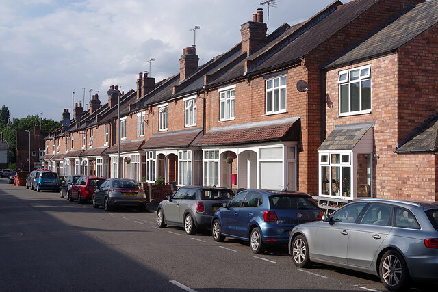
Lower Covert is characterized by its charming cottages and traditional architecture, which reflects the area's rich history. The village is known for its close-knit community, with locals taking pride in maintaining the village's unique character and preserving its natural beauty.

The surrounding woodlands and forests provide ample opportunities for outdoor activities such as hiking, cycling, and picnicking. The area is particularly popular with nature enthusiasts, who are drawn to the diverse wildlife and stunning scenery. Lower Covert is also home to several nature reserves, offering visitors the chance to observe rare and protected species of plants and animals.

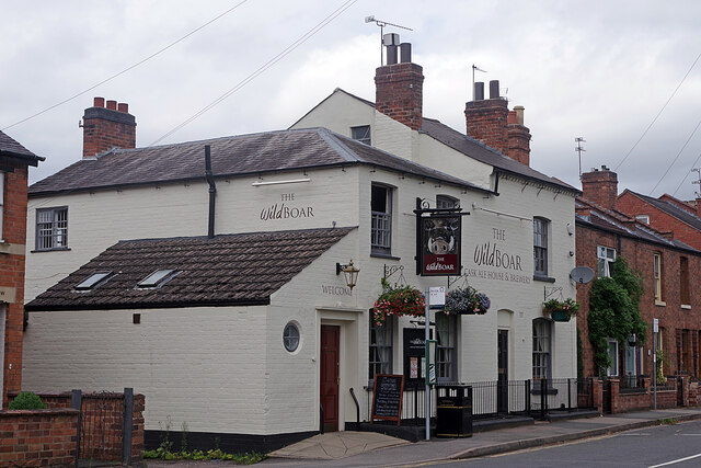
Despite its small size, Lower Covert boasts a range of amenities to cater to the needs of its residents. These include a local pub, a village hall, and a small convenience store. The village is well-connected to neighboring towns and cities, with good transport links providing easy access to amenities and services in the wider region.

Overall, Lower Covert in Warwickshire is a charming village surrounded by natural beauty and offering a peaceful and idyllic lifestyle. With its rich history, close-knit community, and access to stunning woodlands, it is a desirable destination for those seeking a rural retreat.

If you have any feedback on the listing, please let us know in the comments section below.
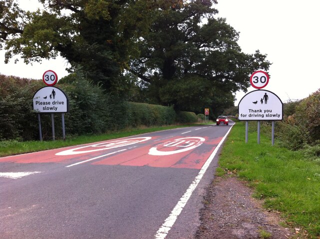
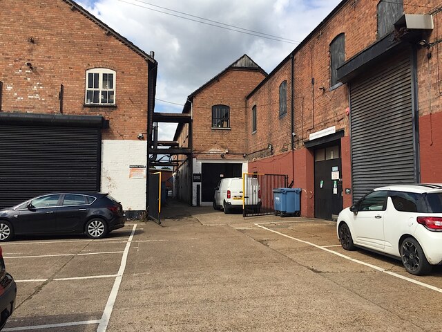
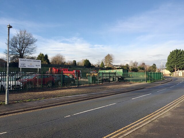
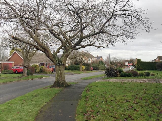
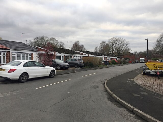
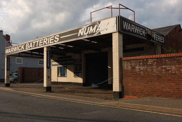
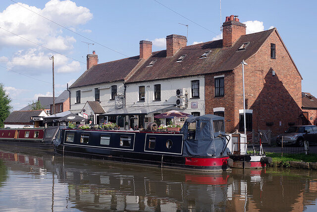
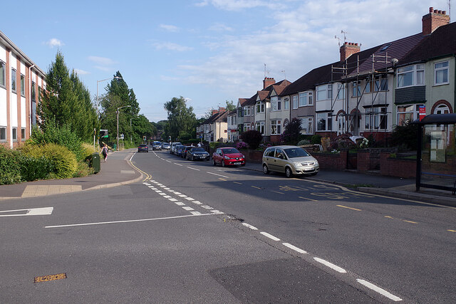
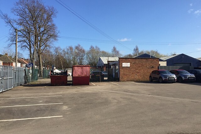
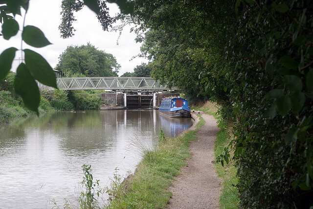
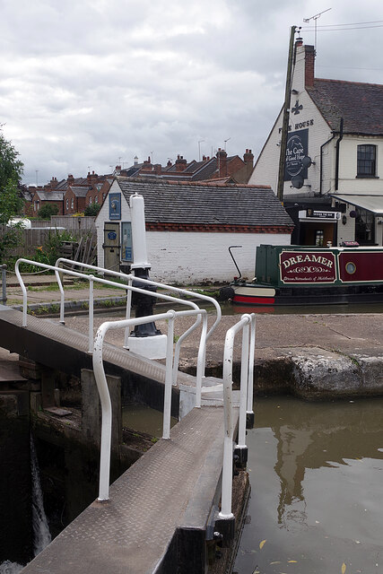
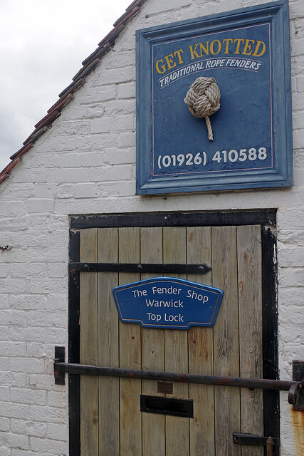
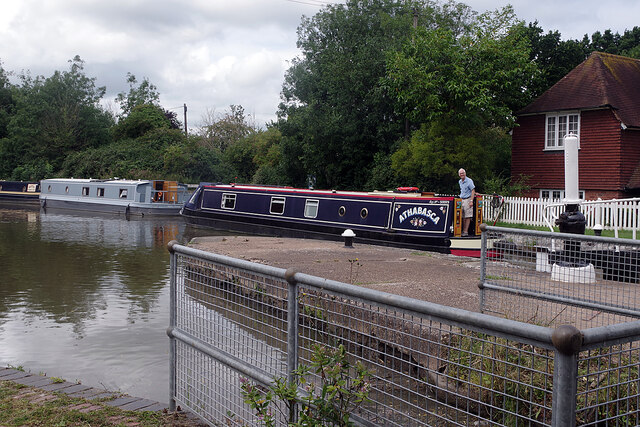
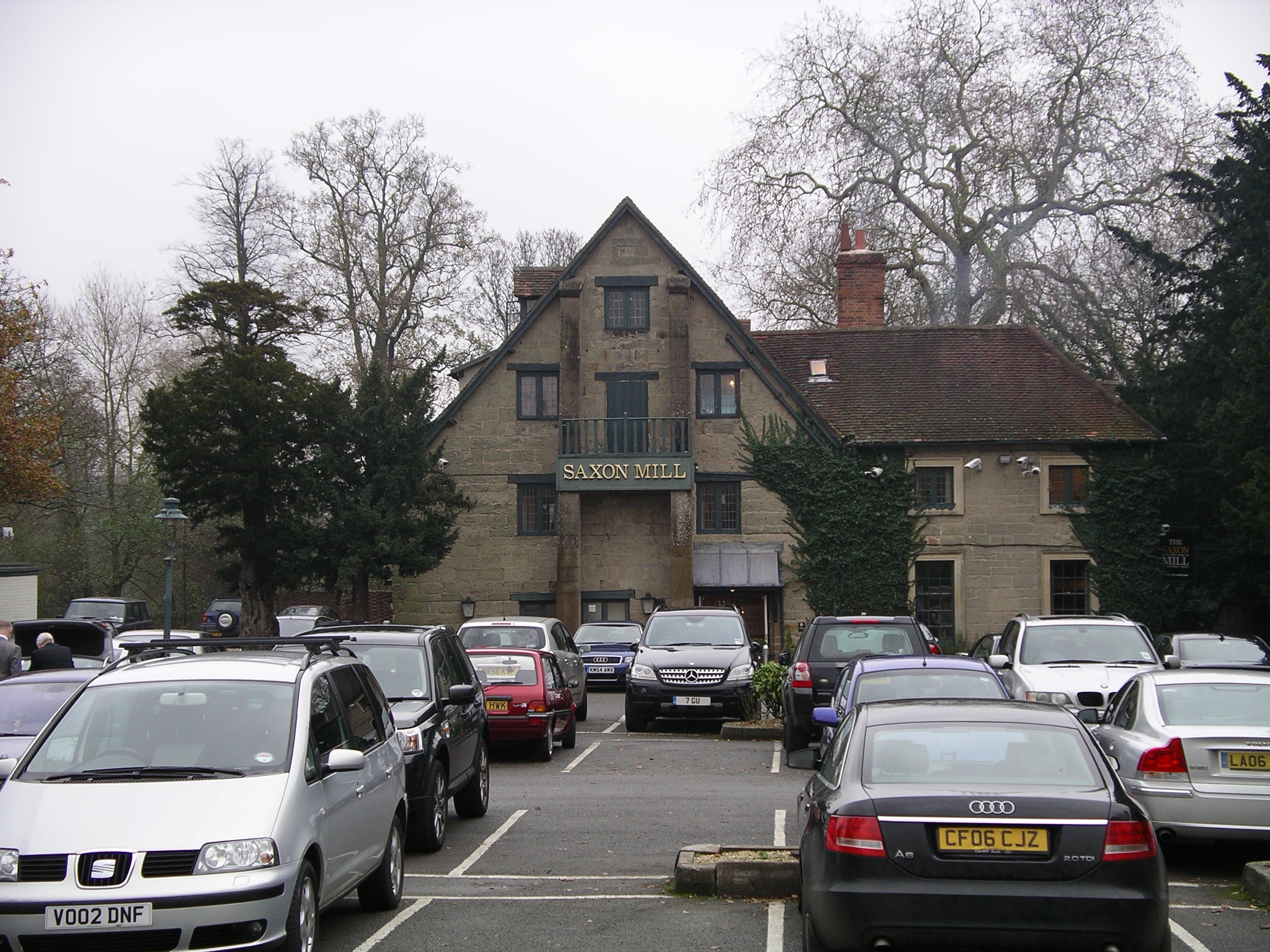
Lower Covert Images

Images are sourced within 2km of 52.302415/-1.5870872 or Grid Reference SP2867. Thanks to Geograph Open Source API. All images are credited.

Speed Limit, Sandy Lane, Old Milverton The car is coming away from Old Milverton, along Sandy Lane towards Blackdown, and has just crossed the bridge over the Leamington-Coventry railway, the parapet of which can be seen behind the car to its right.
Speed Limit, Sandy Lane, Old Milverton
The car is coming away from Old Milverton, along Sandy Lane towards Blackdown, and has just crossed the bridge over the Leamington-Coventry railway, the parapet of which can be seen behind the car to its right.
Former gelatines factory, Wharf Street, Warwick The Nelson family operated a business here for many years. The buildings facing the canal, right, have been occupied by other businesses; parts of the buildings fronting Wharf Street, left, have become flats.
Former gelatines factory, Wharf Street, Warwick
The Nelson family operated a business here for many years. The buildings facing the canal, right, have been occupied by other businesses; parts of the buildings fronting Wharf Street, left, have become flats.
Agricultural machinery and car compound, Nelson Lane, Warwick Over the years, Murley have gradually occupied more and more of a piece of vacant land – and now they have fenced it.
Agricultural machinery and car compound, Nelson Lane, Warwick
Over the years, Murley have gradually occupied more and more of a piece of vacant land – and now they have fenced it.
Houses and gardens, Millbank, Warwick Millbank first appears on an OS map of 1967. The wide-spreading flowering cherry trees, probably the popular 'Kanzan', are a feature of the estate.
Houses and gardens, Millbank, Warwick
Millbank first appears on an OS map of 1967. The wide-spreading flowering cherry trees, probably the popular 'Kanzan', are a feature of the estate.
Edmondes Close, Woodloes Park, Warwick Woodloes Park is a residential development on about 400 hectares of farmland north of the Grand Union Canal. It was laid out between the mid-1970s and the early 1980s. There is a mix of private and public housing, all low-rise. Residents enjoy ample open space, play areas and off-road footpaths. Many trees and lengths of hedgerow were retained. There is a primary school, a pub and busy local shops at Reardon Court. The estate extends west into SP2766.
Edmondes Close, Woodloes Park, Warwick
Woodloes Park is a residential development on about 400 hectares of farmland north of the Grand Union Canal. It was laid out between the mid-1970s and the early 1980s. There is a mix of private and public housing, all low-rise. Residents enjoy ample open space, play areas and off-road footpaths. Many trees and lengths of hedgerow were retained. There is a primary school, a pub and busy local shops at Reardon Court. The estate extends west into SP2766.
Warwick Batteries on Birmingham Road Although this is now the A425 the road name gives away it is all part of what was the A41 and still goes to Birmingham on the same route.
Warwick Batteries on Birmingham Road
Although this is now the A425 the road name gives away it is all part of what was the A41 and still goes to Birmingham on the same route.
The Cape of Good Hope, Warwick How this early 19th century canalside pub got its distinctive name seems to be shrouded in mystery but the local area is called the Cape after it. Its owners describe it as 'Warwick's best kept secret' and while it's a very prominent canal landmark it is less easy to find by road. The beer garden overlooking one of the Cape Locks is a delight on a warm day.
The Cape of Good Hope, Warwick
How this early 19th century canalside pub got its distinctive name seems to be shrouded in mystery but the local area is called the Cape after it. Its owners describe it as 'Warwick's best kept secret' and while it's a very prominent canal landmark it is less easy to find by road. The beer garden overlooking one of the Cape Locks is a delight on a warm day.
Cape Road, Warwick Looking towards the town centre from the junction with Lower Cape. The Cape name comes from the nearby Cape of Good Hope pub.
Cape Road, Warwick
Looking towards the town centre from the junction with Lower Cape. The Cape name comes from the nearby Cape of Good Hope pub.
Lower Cape, Warwick This road leads down to the Cape of Good Hope pub and the Grand Union Canal. It is lined with terraced houses.
Lower Cape, Warwick
This road leads down to the Cape of Good Hope pub and the Grand Union Canal. It is lined with terraced houses.
The Wild Boar, Warwick This Lakin Road pub is extremely convenient for Warwick station. It was formerly called the Park Tavern and is now the taphouse for Slaughterhouse Brewery.
The Wild Boar, Warwick
This Lakin Road pub is extremely convenient for Warwick station. It was formerly called the Park Tavern and is now the taphouse for Slaughterhouse Brewery.
Warwick Hospital staff parking on a Saturday It's very probable that this was normal for a Saturday. International concern about a 'novel coronavirus' was at an early stage, weeks before the first lockdown in the UK. The car park is entirely reserved for staff of South Warwickshire Foundation NHS Trust (SWIFT). In the background are businesses in Scar Bank, almost all in the motor trade.
Warwick Hospital staff parking on a Saturday
It's very probable that this was normal for a Saturday. International concern about a 'novel coronavirus' was at an early stage, weeks before the first lockdown in the UK. The car park is entirely reserved for staff of South Warwickshire Foundation NHS Trust (SWIFT). In the background are businesses in Scar Bank, almost all in the motor trade.
Old bicycle by the Grand Union Canal The rusty remains of a bicycle lie by the towpath close to bridge 49A. It has probably been fished out of the water.
Old bicycle by the Grand Union Canal
The rusty remains of a bicycle lie by the towpath close to bridge 49A. It has probably been fished out of the water.
Forecourt, Warwick Glass, Montague Road, Emscote, Warwick Warwick Glass is a busy company: their vehicles are frequently seen around the area. The south side of Montague Road is home to several businesses, a self-storage site, and the County Council depot.
Forecourt, Warwick Glass, Montague Road, Emscote, Warwick
Warwick Glass is a busy company: their vehicles are frequently seen around the area. The south side of Montague Road is home to several businesses, a self-storage site, and the County Council depot.
Grand Union Canal, Warwick Looking towards bridge 49B and the lower of the two Cape Locks.
Grand Union Canal, Warwick
Looking towards bridge 49B and the lower of the two Cape Locks.
Old shopping trolley by the Grand Union Canal A little to the west of <a href="https://www.geograph.org.uk/photo/6934008">SP2866 : Old bicycle by the Grand Union Canal</a> is this shopping trolley - no doubt also pulled out of the canal.
Old shopping trolley by the Grand Union Canal
A little to the west of SP2866 : Old bicycle by the Grand Union Canal is this shopping trolley - no doubt also pulled out of the canal.
Cape Top Lock, Grand Union Canal Unusually, the top gate of this lock has two handrails. This is to allow an easy crossing from the towpath to the Cape of Good Hope pub on the opposite bank. Narrowboat 'Dreamer' is moored outside.
Cape Top Lock, Grand Union Canal
Unusually, the top gate of this lock has two handrails. This is to allow an easy crossing from the towpath to the Cape of Good Hope pub on the opposite bank. Narrowboat 'Dreamer' is moored outside.
Get Knotted Operating from this tiny building adjacent to the Cape of Good Hope pub, Get Knotted's principal business is to supply traditional rope fenders for narrowboats. They can also supply ropes for other requirements including bespoke banister ropes. See <a href="https://www.geograph.org.uk/photo/6934092">SP2766 : Cape Top Lock, Grand Union Canal</a> for a wider view showing the building.
Get Knotted
Operating from this tiny building adjacent to the Cape of Good Hope pub, Get Knotted's principal business is to supply traditional rope fenders for narrowboats. They can also supply ropes for other requirements including bespoke banister ropes. See SP2766 : Cape Top Lock, Grand Union Canal for a wider view showing the building.
'Athabasca' on the Grand Union Canal Narrowboat 'Athabasca' emerges from the top of the two Cape Locks, passing a widebeam moored by the towpath.
'Athabasca' on the Grand Union Canal
Narrowboat 'Athabasca' emerges from the top of the two Cape Locks, passing a widebeam moored by the towpath.
Show me another place!

Lower Covert is located at Grid Ref: SP2867 (Lat: 52.302415, Lng: -1.5870872)

Administrative County: Warwickshire

District: Warwick

Police Authority: Warwickshire

What 3 Words

///deploying.unroll.glitter. Near Leek Wootton, Warwickshire

Related Wikis

Nearby Amenities

Located within 500m of 52.302415,-1.5870872
Barrier: kissing_gate
Source: survey
Lat/Long: 52.3042397/-1.5933937
Brand: National Grid
Brand Wikidata: Q1465461
Material: metal
Operator: National Grid Electricity Distribution
Operator Old: Western Power Distribution
Operator Wikidata: Q7988183
Owner: National Grid Electricity Distribution (East Midlands) Plc
Owner Wikidata: Q114348127
Power: tower
Lat/Long: 52.3048609/-1.5846249
Brand: National Grid
Brand Wikidata: Q1465461
Material: metal
Operator: National Grid Electricity Distribution
Operator Old: Western Power Distribution
Operator Wikidata: Q7988183
Owner: National Grid Electricity Distribution (East Midlands) Plc
Owner Wikidata: Q114348127
Power: tower
Lat/Long: 52.3041952/-1.5805551
Brand: National Grid
Brand Wikidata: Q1465461
Material: metal
Operator: National Grid Electricity Distribution
Operator Old: Western Power Distribution
Operator Wikidata: Q7988183
Owner: National Grid Electricity Distribution (East Midlands) Plc
Owner Wikidata: Q114348127
Power: tower
Lat/Long: 52.3055167/-1.5887388
Crossing
Crossing: unmarked
Crossing Island: no
Crossing Markings: no
Tactile Paving: no
Lat/Long: 52.2981348/-1.5869357
Crossing
Crossing: unmarked
Crossing Island: no
Crossing Markings: no
Tactile Paving: no
Lat/Long: 52.2984348/-1.586111
Crossing
Crossing: unmarked
Crossing Island: no
Crossing Markings: no
Kerb: lowered
Tactile Paving: no
Lat/Long: 52.2984677/-1.5841586
Crossing
Crossing: unmarked
Crossing Island: no
Crossing Markings: no
Tactile Paving: no
Lat/Long: 52.2985483/-1.5846893
Crossing
Crossing: unmarked
Crossing Island: no
Crossing Markings: no
Tactile Paving: no
Lat/Long: 52.2986511/-1.5851662
Generator Method: photovoltaic
Generator Output Electricity: yes
Generator Source: solar
Generator Type: solar_photovoltaic_panel
Location: roof
Power: generator
Lat/Long: 52.2981032/-1.5851077
Generator Method: photovoltaic
Generator Output Electricity: yes
Generator Source: solar
Generator Type: solar_photovoltaic_panel
Location: roof
Power: generator
Lat/Long: 52.2982541/-1.5858306
Generator Method: photovoltaic
Generator Output Electricity: yes
Generator Source: solar
Generator Type: solar_photovoltaic_panel
Location: roof
Power: generator
Lat/Long: 52.2984665/-1.5863201
Generator Method: photovoltaic
Generator Output Electricity: yes
Generator Source: solar
Generator Type: solar_photovoltaic_panel
Location: roof
Power: generator
Lat/Long: 52.2982795/-1.5883827
Generator Method: photovoltaic
Generator Output Electricity: yes
Generator Source: solar
Generator Type: solar_photovoltaic_panel
Location: roof
Power: generator
Lat/Long: 52.2992055/-1.5851989
Generator Method: photovoltaic
Generator Output Electricity: yes
Generator Source: solar
Generator Type: solar_photovoltaic_panel
Location: roof
Power: generator
Lat/Long: 52.2988494/-1.5859628
Generator Method: photovoltaic
Generator Output Electricity: yes
Generator Source: solar
Generator Type: solar_photovoltaic_panel
Location: roof
Power: generator
Lat/Long: 52.2988343/-1.5859238
Generator Method: photovoltaic
Generator Output Electricity: yes
Generator Source: solar
Generator Type: solar_photovoltaic_panel
Location: roof
Power: generator
Lat/Long: 52.2982932/-1.5893856
Generator Method: photovoltaic
Generator Output Electricity: yes
Generator Source: solar
Generator Type: solar_photovoltaic_panel
Location: roof
Power: generator
Lat/Long: 52.2982793/-1.5894312
Generator Method: photovoltaic
Generator Output Electricity: yes
Generator Source: solar
Generator Type: solar_photovoltaic_panel
Location: roof
Power: generator
Lat/Long: 52.2982104/-1.5896525
Give Way
Direction: backward
Lat/Long: 52.2985868/-1.5846669
Give Way
Direction: forward
Lat/Long: 52.2986234/-1.5851537
Give Way
Direction: forward
Lat/Long: 52.2984481/-1.5842064
Give Way
Direction: forward
Lat/Long: 52.2984138/-1.5860964
Give Way
Direction: forward
Lat/Long: 52.2981111/-1.586911
Barrier: kerb
Kerb: lowered
Tactile Paving: no
Lat/Long: 52.2986671/-1.5850633
Barrier: kerb
Kerb: lowered
Tactile Paving: no
Lat/Long: 52.2986393/-1.5852416
Barrier: kerb
Kerb: raised
Tactile Paving: no
Lat/Long: 52.2981104/-1.5870071
Barrier: kerb
Kerb: raised
Tactile Paving: no
Lat/Long: 52.2981639/-1.5868517
Street Lamp
Lamp Mount: straight_mast
Lamp Type: led
Lat/Long: 52.2993187/-1.5862172
Street Lamp
Lamp Mount: straight_mast
Lamp Type: led
Ref: 6
Lat/Long: 52.2994298/-1.5846831
Street Lamp
Lamp Mount: bent_mast
Lamp Type: led
Lat/Long: 52.2983697/-1.5841158
Street Lamp
Lamp Mount: bent_mast
Lamp Type: led
Lat/Long: 52.2985343/-1.5842732
Street Lamp
Lamp Mount: bent_mast
Lamp Type: led
Ref: 6
Lat/Long: 52.2986646/-1.5846108
Street Lamp
Lamp Mount: bent_mast
Lamp Type: led
Ref: 7
Lat/Long: 52.2986748/-1.5849705
Street Lamp
Lamp Mount: bent_mast
Lamp Type: led
Lat/Long: 52.2986089/-1.5853342
Street Lamp
Lamp Mount: bent_mast
Lamp Type: led
Ref: 9
Lat/Long: 52.2985368/-1.5856959
Street Lamp
Lamp Mount: bent_mast
Lamp Type: led
Ref: 10
Lat/Long: 52.2983524/-1.586
Street Lamp
Lamp Mount: straight_mast
Lamp Type: led
Ref: 2
Lat/Long: 52.298205/-1.5853342
Street Lamp
Lamp Mount: bent_mast
Lamp Type: led
Lat/Long: 52.2982643/-1.5865577
Street Lamp
Lamp Mount: bent_mast
Lamp Type: led
Ref: 12
Lat/Long: 52.2980277/-1.5868732
Street Lamp
Lamp Mount: bent_mast
Lamp Type: led
Ref: 13
Lat/Long: 52.2979335/-1.5874351
Street Lamp
Lamp Mount: straight_mast
Lamp Type: led
Ref: 5
Lat/Long: 52.2982919/-1.5889409
Street Lamp
Lamp Mount: straight_mast
Lamp Type: led
Ref: 2
Lat/Long: 52.2982082/-1.5882149
Street Lamp
Lamp Mount: straight_mast
Lamp Type: led
Lat/Long: 52.2985333/-1.5882734
Street Lamp
Lamp Mount: straight_mast
Lamp Type: metal-halide
Ref: 3
Lat/Long: 52.2986289/-1.5878714
Street Lamp
Lamp Mount: straight_mast
Lamp Type: metal-halide
Ref: 3
Lat/Long: 52.2987628/-1.5874536
Street Lamp
Lamp Mount: straight_mast
Lamp Type: led
Ref: 1
Lat/Long: 52.2985703/-1.5862574
Street Lamp
Lamp Mount: straight_mast
Lamp Type: led
Ref: 2
Lat/Long: 52.2985404/-1.5874174
Street Lamp
Lamp Mount: straight_mast
Lamp Type: led
Ref: 1
Lat/Long: 52.2982069/-1.5870889
Street Lamp
Lamp Mount: straight_mast
Lamp Type: metal-halide
Ref: 4
Lat/Long: 52.2988609/-1.5868567
Street Lamp
Lamp Mount: straight_mast
Lamp Type: metal-halide
Ref: 2
Lat/Long: 52.298896/-1.5863473
Street Lamp
Lamp Mount: straight_mast
Lamp Type: led
Lat/Long: 52.2987813/-1.5853017
Street Lamp
Lamp Mount: straight_mast
Lamp Type: led
Ref: 2
Lat/Long: 52.2990606/-1.5853781
Street Lamp
Lamp Mount: straight_mast
Lamp Type: led
Lat/Long: 52.2990627/-1.5849286
Street Lamp
Lamp Mount: straight_mast
Lamp Type: led
Lat/Long: 52.2992228/-1.5843733
Street Lamp
Lamp Mount: straight_mast
Lamp Type: led
Ref: 3
Lat/Long: 52.2993252/-1.5853794
Street Lamp
Lamp Mount: straight_mast
Lamp Type: led
Ref: 7
Lat/Long: 52.2990914/-1.5838804
Street Lamp
Lamp Mount: straight_mast
Lamp Type: led
Lat/Long: 52.2985011/-1.5839406
Street Lamp
Lamp Mount: straight_mast
Lamp Type: led
Lat/Long: 52.2988161/-1.5835823
Street Lamp
Lamp Mount: straight_mast
Lamp Type: led
Ref: 1
Lat/Long: 52.2983432/-1.5848993
Brand: National Grid
Brand Wikidata: Q1465461
Material: wood
Operator: National Grid Electricity Distribution
Operator Old: Western Power Distribution
Operator Wikidata: Q7988183
Owner: National Grid Electricity Distribution (East Midlands) Plc
Owner Wikidata: Q114348127
Power: pole
Lat/Long: 52.3002911/-1.580873
Brand: National Grid
Brand Wikidata: Q1465461
Material: wood
Operator: National Grid Electricity Distribution
Operator Old: Western Power Distribution
Operator Wikidata: Q7988183
Owner: National Grid Electricity Distribution (East Midlands) Plc
Owner Wikidata: Q114348127
Power: pole
Lat/Long: 52.3001273/-1.5821536
Brand: National Grid
Brand Wikidata: Q1465461
Location Transition: yes
Material: wood
Operator: National Grid Electricity Distribution
Operator Old: Western Power Distribution
Operator Wikidata: Q7988183
Owner: National Grid Electricity Distribution (East Midlands) Plc
Owner Wikidata: Q114348127
Power: pole
Lat/Long: 52.2999693/-1.5834597
Brand: National Grid
Brand Wikidata: Q1465461
Material: wood
Operator: National Grid Electricity Distribution
Operator Old: Western Power Distribution
Operator Wikidata: Q7988183
Owner: National Grid Electricity Distribution (East Midlands) Plc
Owner Wikidata: Q114348127
Power: pole
Lat/Long: 52.2999392/-1.5880925
Brand: National Grid
Brand Wikidata: Q1465461
Material: wood
Operator: National Grid Electricity Distribution
Operator Old: Western Power Distribution
Operator Wikidata: Q7988183
Owner: National Grid Electricity Distribution (East Midlands) Plc
Owner Wikidata: Q114348127
Power: pole
Lat/Long: 52.2998115/-1.5871223
Brand: National Grid
Brand Wikidata: Q1465461
Material: wood
Operator: National Grid Electricity Distribution
Operator Old: Western Power Distribution
Operator Wikidata: Q7988183
Owner: National Grid Electricity Distribution (East Midlands) Plc
Owner Wikidata: Q114348127
Power: pole
Lat/Long: 52.3000929/-1.5892216
Brand: National Grid
Brand Wikidata: Q1465461
Material: wood
Operator: National Grid Electricity Distribution
Operator Old: Western Power Distribution
Operator Wikidata: Q7988183
Owner: National Grid Electricity Distribution (East Midlands) Plc
Owner Wikidata: Q114348127
Power: pole
Lat/Long: 52.3002477/-1.5903618
Middle Woodloes
Brand: National Grid
Brand Wikidata: Q1465461
Frequency: 50
Material: wood
Operator: National Grid Electricity Distribution
Operator Old: Western Power Distribution
Operator Wikidata: Q7988183
Owner: National Grid Electricity Distribution (East Midlands) Plc
Owner Wikidata: Q114348127
Power: pole
Ref: 931926
Transformer: distribution
Voltage Primary: 11000
Voltage Secondary: 400
Lat/Long: 52.3003968/-1.5914742
Brand: National Grid
Brand Wikidata: Q1465461
Location Transition: yes
Material: wood
Operator: National Grid Electricity Distribution
Operator Old: Western Power Distribution
Operator Wikidata: Q7988183
Owner: National Grid Electricity Distribution (East Midlands) Plc
Owner Wikidata: Q114348127
Power: pole
Lat/Long: 52.3010904/-1.5931704
Brand: National Grid
Brand Wikidata: Q1465461
Material: wood
Operator: National Grid Electricity Distribution
Operator Old: Western Power Distribution
Operator Wikidata: Q7988183
Owner: National Grid Electricity Distribution (East Midlands) Plc
Owner Wikidata: Q114348127
Power: pole
Lat/Long: 52.3007749/-1.5924092
Brand: National Grid
Brand Wikidata: Q1465461
Material: wood
Operator: National Grid Electricity Distribution
Operator Old: Western Power Distribution
Operator Wikidata: Q7988183
Owner: National Grid Electricity Distribution (East Midlands) Plc
Owner Wikidata: Q114348127
Power: pole
Lat/Long: 52.2996405/-1.5859539
Brand: National Grid
Brand Wikidata: Q1465461
Material: wood
Operator: National Grid Electricity Distribution
Operator Old: Western Power Distribution
Operator Wikidata: Q7988183
Owner: National Grid Electricity Distribution (East Midlands) Plc
Owner Wikidata: Q114348127
Power: pole
Lat/Long: 52.2997726/-1.5848813
Barrier: kerb
Kerb: raised
Tactile Paving: no
Lat/Long: 52.2984152/-1.5861743
Barrier: kerb
Kerb: raised
Tactile Paving: no
Lat/Long: 52.2984659/-1.5860118
Barrier: kerb
Kerb: lowered
Tactile Paving: no
Lat/Long: 52.2985632/-1.5847865
Man Made: utility_pole
Material: wood
Operator: Openreach
Utility: telecom
Lat/Long: 52.3002219/-1.5856326
Guyed: yes
Man Made: utility_pole
Material: wood
Operator: Openreach
Ref: 15A
Utility: telecom
Lat/Long: 52.2997934/-1.5851058
Waste Basket
Waste: cigarettes;dog_excrement;trash
Lat/Long: 52.2994087/-1.5848707
Man Made: utility_pole
Material: wood
Operator: Openreach
Utility: telecom
Lat/Long: 52.300941/-1.5879519
Man Made: utility_pole
Material: wood
Operator: Openreach
Utility: telecom
Lat/Long: 52.3020351/-1.5888053
Man Made: utility_pole
Material: wood
Operator: Openreach
Utility: telecom
Lat/Long: 52.3005158/-1.5908676
Man Made: utility_pole
Material: wood
Operator: National Grid Electricity Distribution
Operator Wikidata: Q7988183
Power: pole
Utility: power
Lat/Long: 52.3012834/-1.5913232
Man Made: utility_pole
Material: wood
Operator: Openreach
Utility: telecom
Lat/Long: 52.3011587/-1.5887814
Man Made: utility_pole
Material: wood
Operator: National Grid Electricity Distribution
Operator Wikidata: Q7988183
Power: pole
Utility: power
Lat/Long: 52.3024362/-1.5911182
Man Made: utility_pole
Material: wood
Operator: National Grid Electricity Distribution
Operator Wikidata: Q7988183
Power: pole
Utility: power
Lat/Long: 52.3016841/-1.5912473
Man Made: utility_pole
Material: wood
Operator: National Grid Electricity Distribution
Operator Wikidata: Q7988183
Power: pole
Utility: power
Lat/Long: 52.3004049/-1.5914449
Man Made: utility_pole
Material: wood
Operator: Openreach
Utility: telecom
Lat/Long: 52.3024439/-1.5903481
Man Made: utility_pole
Material: wood
Operator: Openreach
Utility: telecom
Lat/Long: 52.3005937/-1.5862917
Man Made: utility_pole
Material: wood
Operator: Openreach
Utility: telecom
Lat/Long: 52.3007378/-1.5901921
Man Made: utility_pole
Material: metal
Operator: Openreach
Utility: telecom
Lat/Long: 52.3004756/-1.591544
Man Made: utility_pole
Material: wood
Operator: Openreach
Utility: telecom
Lat/Long: 52.3009779/-1.5895021
Man Made: utility_pole
Material: wood
Operator: Openreach
Utility: telecom
Lat/Long: 52.3007831/-1.5870815
Man Made: utility_pole
Material: wood
Operator: Openreach
Utility: telecom
Lat/Long: 52.3022391/-1.5896464
Man Made: utility_pole
Material: wood
Operator: National Grid Electricity Distribution
Operator Wikidata: Q7988183
Power: pole
Utility: power
Lat/Long: 52.3020395/-1.5911887
Man Made: utility_pole
Material: wood
Operator: National Grid Electricity Distribution
Operator Wikidata: Q7988183
Power: pole
Utility: power
Lat/Long: 52.3008741/-1.5913915
Passing Place
Lat/Long: 52.3002772/-1.5857507
Man Made: utility_pole
Material: wood
Operator: Openreach
Utility: telecom
Lat/Long: 52.3015457/-1.5884467
Man Made: utility_pole
Material: wood
Operator: Openreach
Utility: telecom
Lat/Long: 52.3006501/-1.586612
Man Made: utility_pole
Material: wood
Operator: Openreach
Utility: telecom
Lat/Long: 52.2996068/-1.5845891
Man Made: utility_pole
Material: wood
Operator: Openreach
Ref: 14
Utility: telecom
Lat/Long: 52.2994192/-1.5837744
Man Made: utility_pole
Material: wood
Operator: Openreach
Utility: telecom
Lat/Long: 52.300363/-1.5837451
Man Made: utility_pole
Material: wood
Operator: Openreach
Utility: telecom
Lat/Long: 52.3000789/-1.58453
Man Made: utility_pole
Material: wood
Operator: Openreach
Ref: 13
Utility: telecom
Lat/Long: 52.299044/-1.5832003
Man Made: utility_pole
Material: wood
Operator: Openreach
Power: pole
Utility: telecom
Lat/Long: 52.3027693/-1.5909401
Man Made: utility_pole
Material: wood
Operator: National Grid Electricity Distribution
Operator Wikidata: Q7988183
Power: pole
Utility: power
Lat/Long: 52.3031606/-1.5906117
Man Made: utility_pole
Material: wood
Operator: National Grid Electricity Distribution
Operator Wikidata: Q7988183
Power: pole
Utility: power
Lat/Long: 52.3034132/-1.5903539
Generator Method: photovoltaic
Generator Output Electricity: yes
Generator Source: solar
Generator Type: solar_photovoltaic_panel
Location: roof
Power: generator
Lat/Long: 52.2987514/-1.5849501
Generator Method: photovoltaic
Generator Output Electricity: yes
Generator Source: solar
Generator Type: solar_photovoltaic_panel
Location: roof
Power: generator
Lat/Long: 52.2989016/-1.5878074
The data included in this document is from www.openstreetmap.org. The data is made available under ODbL.

Have you been to Lower Covert?

Leave your review of Lower Covert below (or comments, questions and feedback).