Black Hill
Hill, Mountain in Derbyshire Derbyshire Dales
England
Black Hill
Black Hill is a prominent hill located in the Derbyshire Peak District, England. Rising to an elevation of 582 meters (1,909 feet), it is often categorized as a "hill" rather than a "mountain" due to its moderate height. The hill is situated within the Dark Peak area, which is known for its rugged and barren landscapes.
One of the defining features of Black Hill is its distinctive peat moorland, which stretches across its slopes. The moorland is characterized by vast expanses of heather, interspersed with patches of boggy ground and scattered clumps of bilberry bushes. This unique habitat supports a variety of flora and fauna, including rare bird species such as the golden plover and merlin.
Visitors to Black Hill can explore the hill's extensive network of footpaths and trails, providing opportunities for hiking, walking, and wildlife spotting. The Pennine Way, a long-distance footpath, also traverses the summit of Black Hill, making it a popular destination for outdoor enthusiasts.
From the summit, breathtaking panoramic views of the surrounding countryside can be enjoyed. On a clear day, one can see the rolling hills of the Peak District, as well as distant landmarks such as Kinder Scout and Bleaklow, two other prominent peaks in the area.
Overall, Black Hill offers visitors a chance to experience the beauty and tranquility of the Derbyshire countryside, with its rugged terrain, diverse wildlife, and stunning vistas.
If you have any feedback on the listing, please let us know in the comments section below.
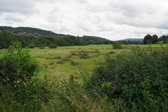
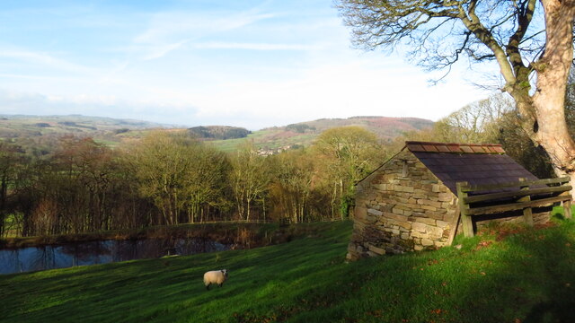
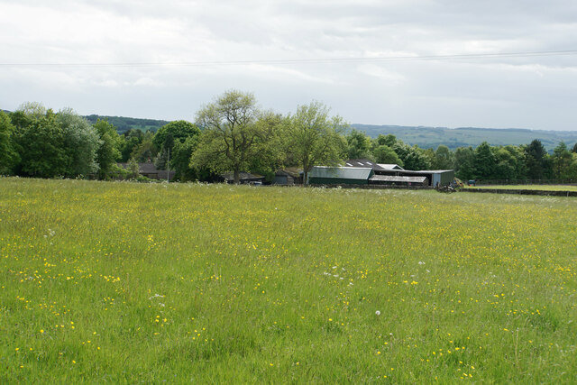
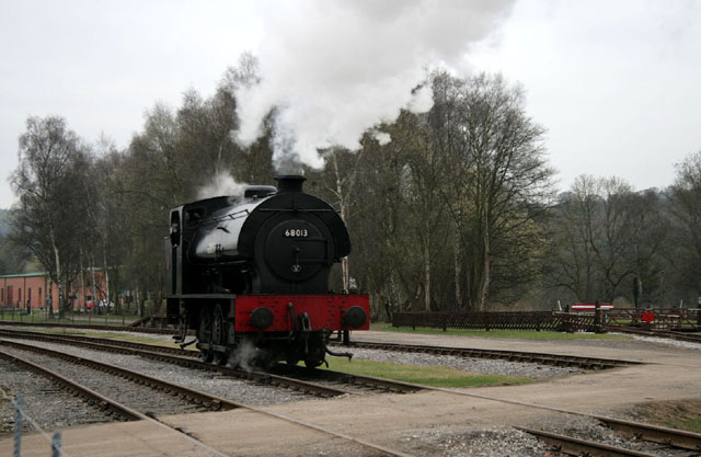
Black Hill Images
Images are sourced within 2km of 53.180342/-1.587105 or Grid Reference SK2764. Thanks to Geograph Open Source API. All images are credited.


Black Hill is located at Grid Ref: SK2764 (Lat: 53.180342, Lng: -1.587105)
Administrative County: Derbyshire
District: Derbyshire Dales
Police Authority: Derbyshire
What 3 Words
///minimums.scornful.sting. Near Matlock, Derbyshire
Nearby Locations
Related Wikis
Northwood and Tinkersley
Northwood and Tinkersley is a civil parish within the Derbyshire Dales district, in the county of Derbyshire, England. Named for its main settlements,...

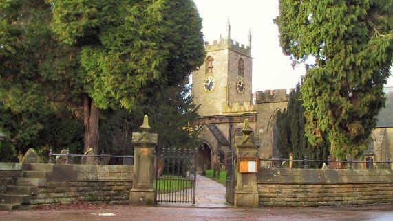
Stancliffe Hall
Stancliffe Hall is a grade II Listed building on Whitworth Road in the settlement of Darley Dale, near Matlock, Derbyshire. == Early history == In 1817...

Derbyshire
Derbyshire ( DAR-bee-sheer, -shər) is a ceremonial county in the East Midlands of England. It borders Greater Manchester, West Yorkshire, and South Yorkshire...

Parkside railway station (Derbyshire)
Parkside railway station was the only station on the Derbyshire Dales Narrow Gauge Railway. Derbyshire Dales Narrow Gauge Railway was a short narrow-gauge...
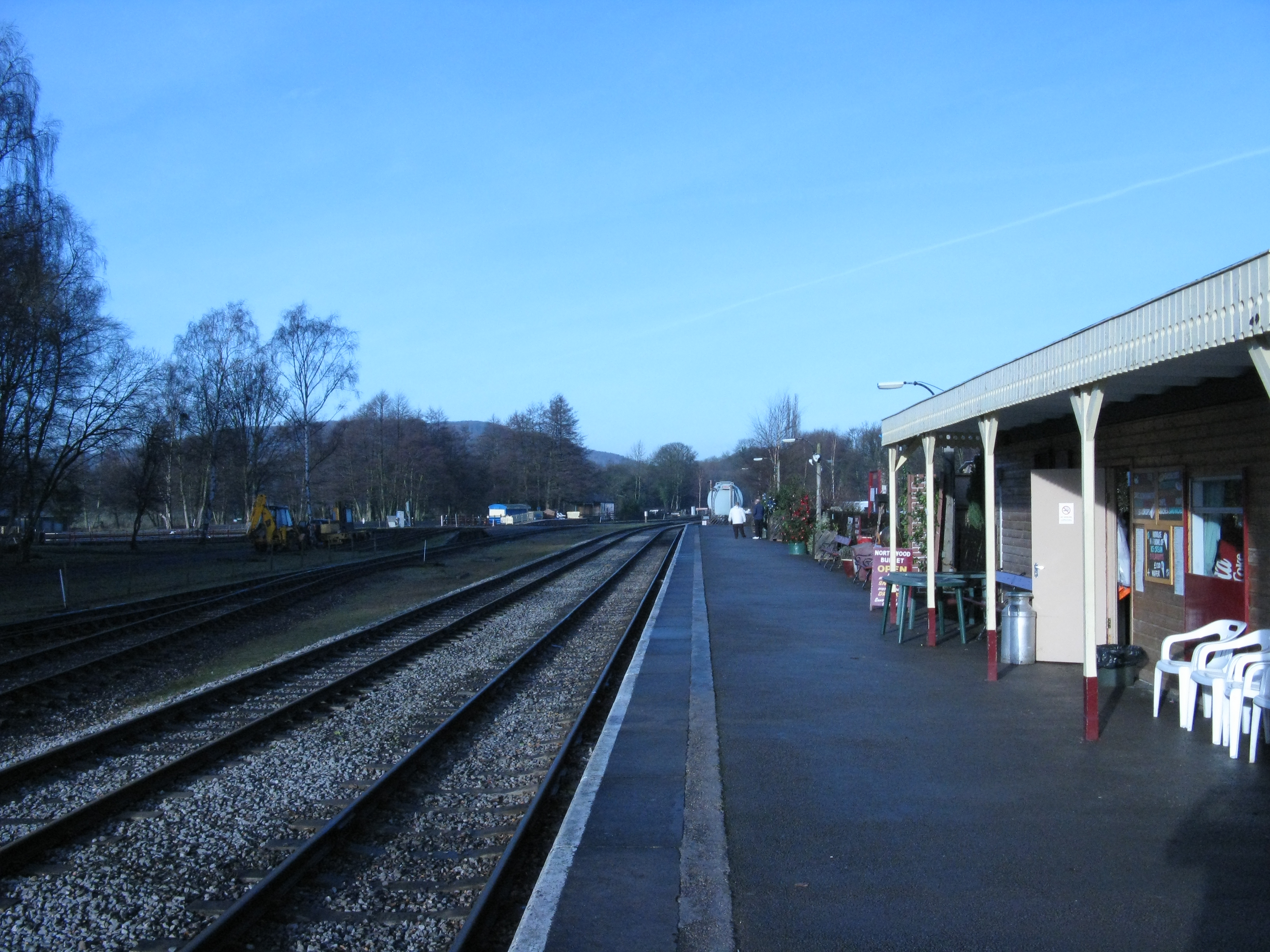
Rowsley South railway station
Rowsley South railway station lies approximately a mile short of Rowsley village, the location of the settlement's previous stations. Rowsley South was...
Derbyshire Dales Narrow Gauge Railway
The Derbyshire Dales Narrow Gauge Railway (DDNGR) was a short, 2 ft (610 mm) narrow-gauge railway located at Rowsley South at Peak Rail. It operated ex...
Darley Dale
Darley Dale, formerly Darley, is a town and civil parish in the Derbyshire Dales district of Derbyshire, England, with a population of 5,413. It lies...
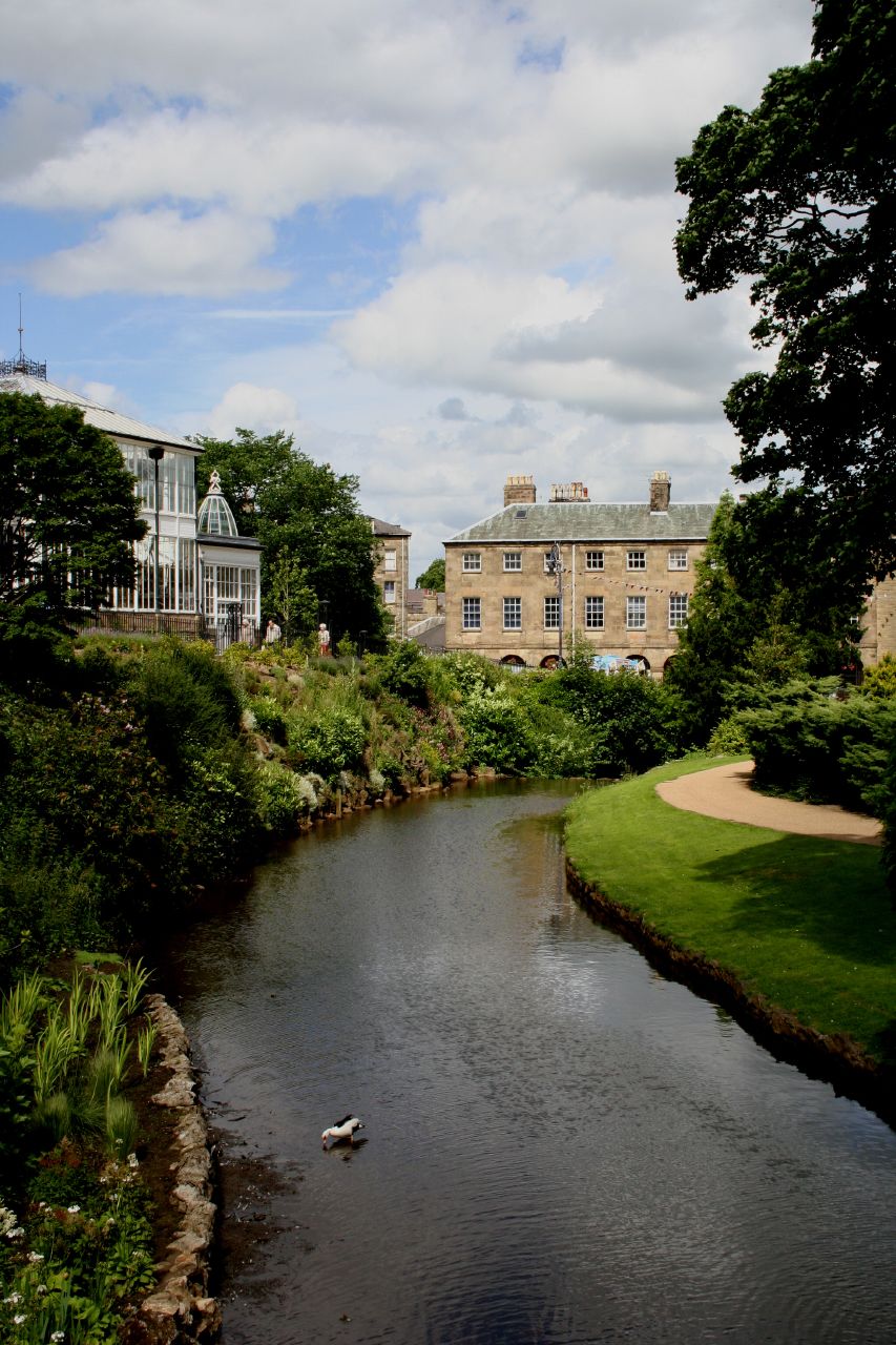
River Wye, Derbyshire
The River Wye is a limestone river in the Peak District of Derbyshire, England. It is 22 miles long (widely but incorrectly attributed as 15 miles/24...
Nearby Amenities
Located within 500m of 53.180342,-1.587105Have you been to Black Hill?
Leave your review of Black Hill below (or comments, questions and feedback).