Crag Hill
Hill, Mountain in Yorkshire Harrogate
England
Crag Hill
Crag Hill, located in the county of Yorkshire in northern England, is a prominent and picturesque hill that forms part of the larger mountain range known as the High Street Group. Standing at an impressive height of 839 meters (2753 feet), it is one of the highest peaks in the Lake District National Park, attracting both hikers and nature enthusiasts alike.
The hill is characterized by its rugged and rocky terrain, offering a challenging yet rewarding experience for climbers and walkers. Its distinctive craggy summit, from which it derives its name, provides breathtaking panoramic views of the surrounding countryside and nearby bodies of water, including the iconic Lake Ullswater to the east.
Crag Hill is often climbed in conjunction with its neighboring peaks, such as Sail, Eel Crag, and Wandope, forming a popular circular route known as the Coledale Horseshoe. This circular walk offers a diverse range of landscapes, from grassy slopes to rocky ridges, and presents an opportunity to explore the diverse flora and fauna of the area.
The hill is accessible from various starting points, including the village of Braithwaite to the north and the town of Keswick to the south. Its proximity to these settlements makes it a convenient destination for day trips or longer hikes.
With its stunning vistas, challenging terrain, and rich natural beauty, Crag Hill in Yorkshire is a must-visit for outdoor enthusiasts seeking an exhilarating mountain experience in the heart of the Lake District.
If you have any feedback on the listing, please let us know in the comments section below.
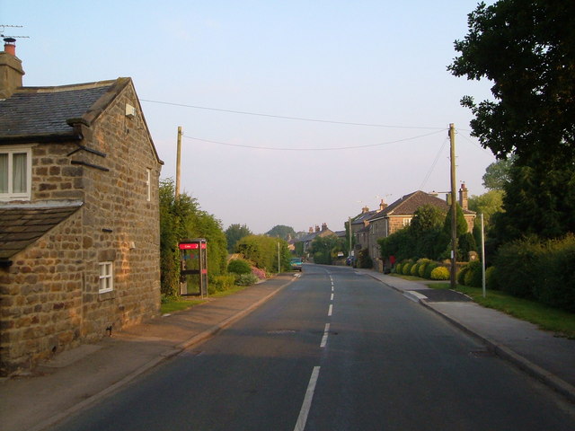
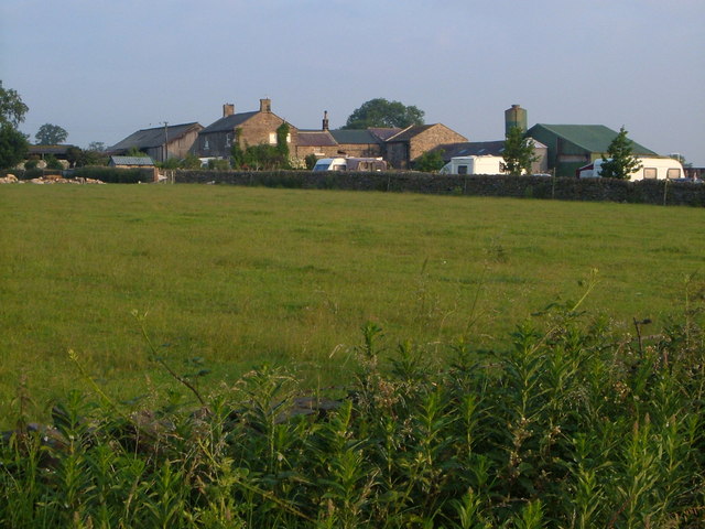
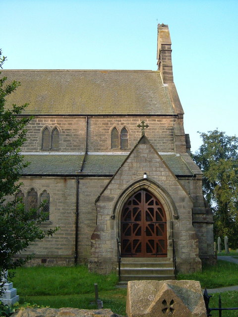
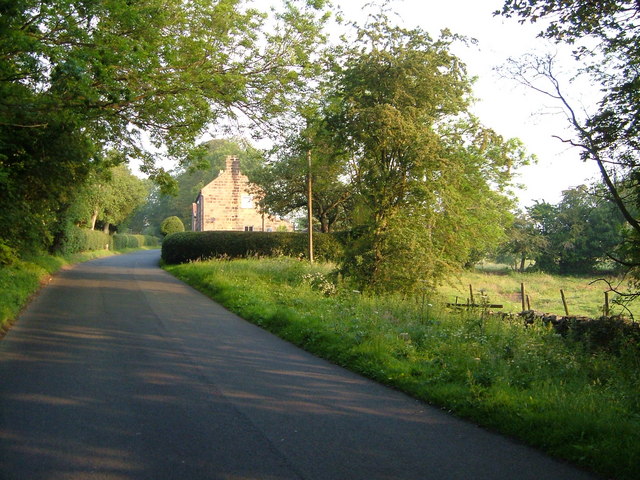
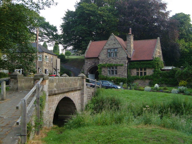
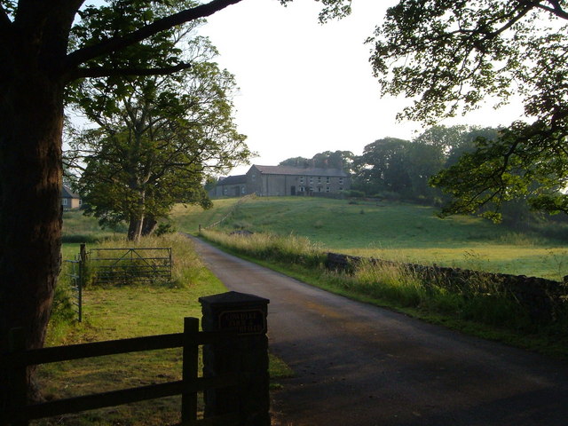
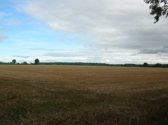
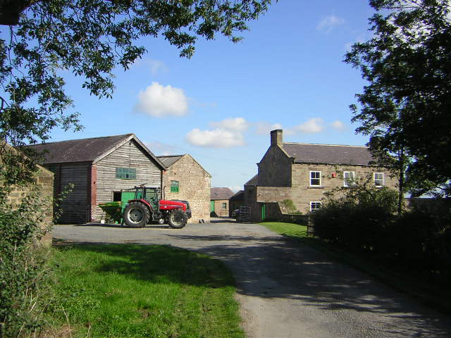
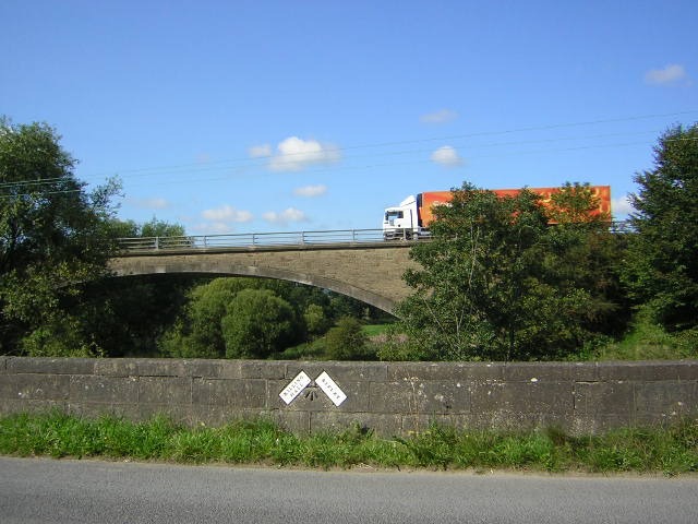
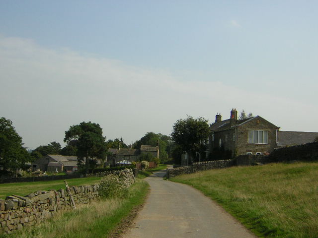
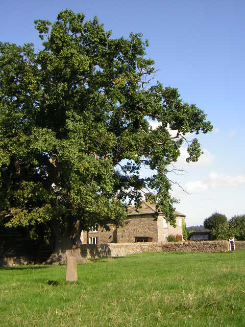
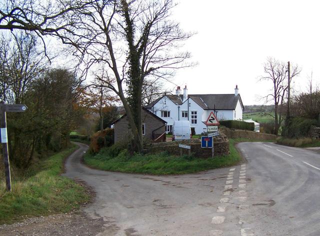
Crag Hill Images
Images are sourced within 2km of 54.022447/-1.5788307 or Grid Reference SE2758. Thanks to Geograph Open Source API. All images are credited.


Crag Hill is located at Grid Ref: SE2758 (Lat: 54.022447, Lng: -1.5788307)
Division: West Riding
Administrative County: North Yorkshire
District: Harrogate
Police Authority: North Yorkshire
What 3 Words
///confetti.seats.sourced. Near Harrogate, North Yorkshire
Nearby Locations
Related Wikis

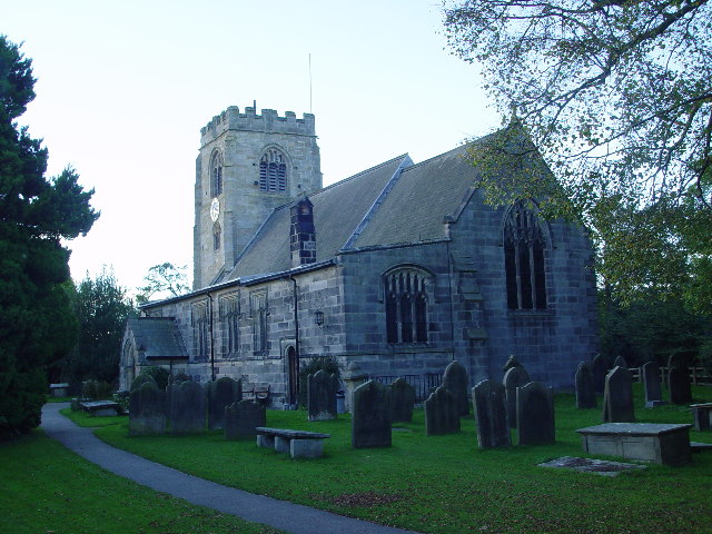
Church of St Thomas the Apostle, Killinghall
The Church of St Thomas the Apostle, Killinghall, is an Anglican parish church in Killinghall, North Yorkshire, England. It was designed in 1879 by William...

Killinghall
Killinghall is a village and civil parish in the Harrogate district of North Yorkshire, England. The civil parish population taken at the 2011 census was...
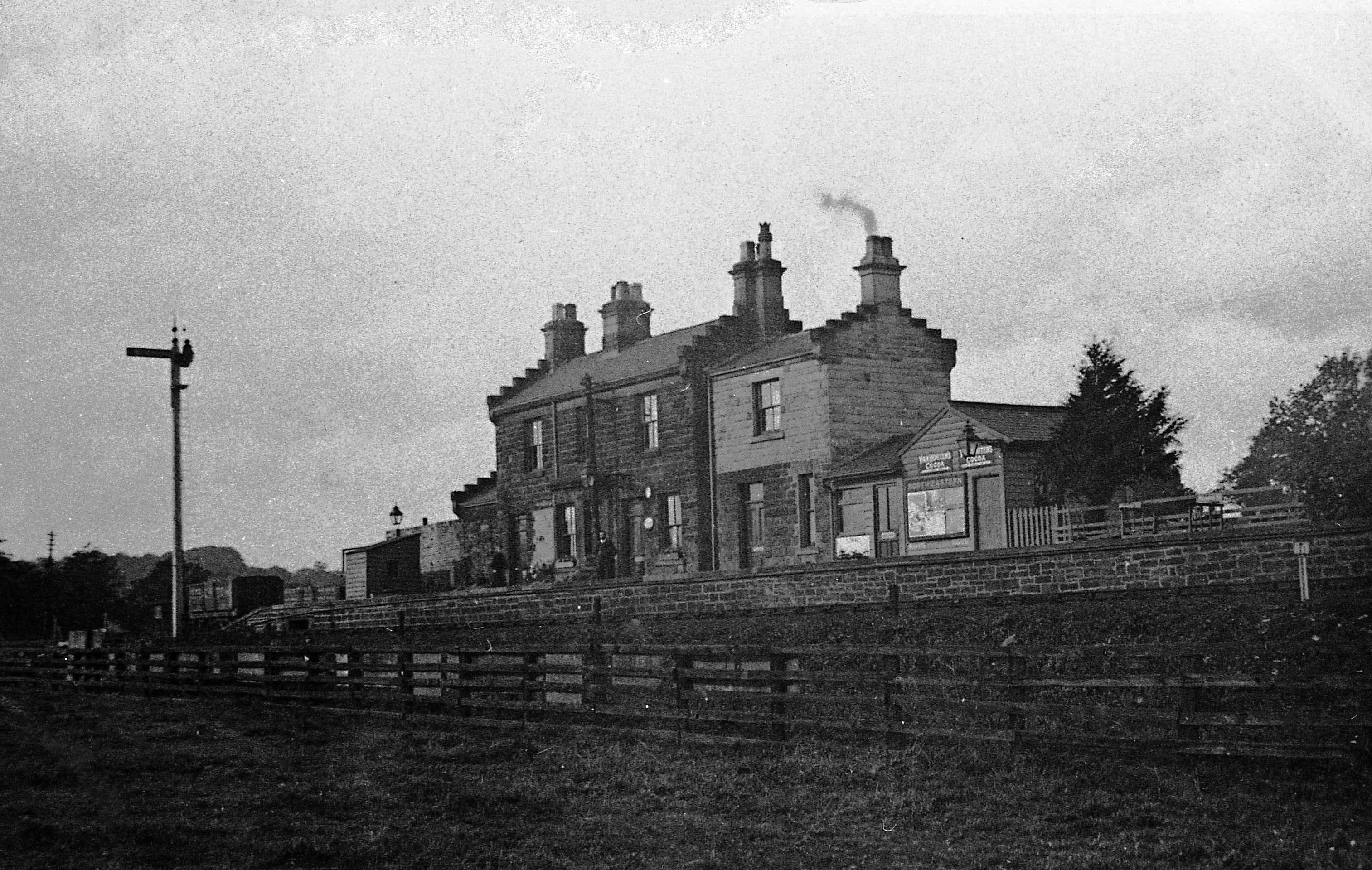
Ripley Valley railway station
Ripley Valley railway station served the villages of Killinghall and Ripley, North Yorkshire, England from 1862 to 1951 on the Nidd Valley Railway. �...
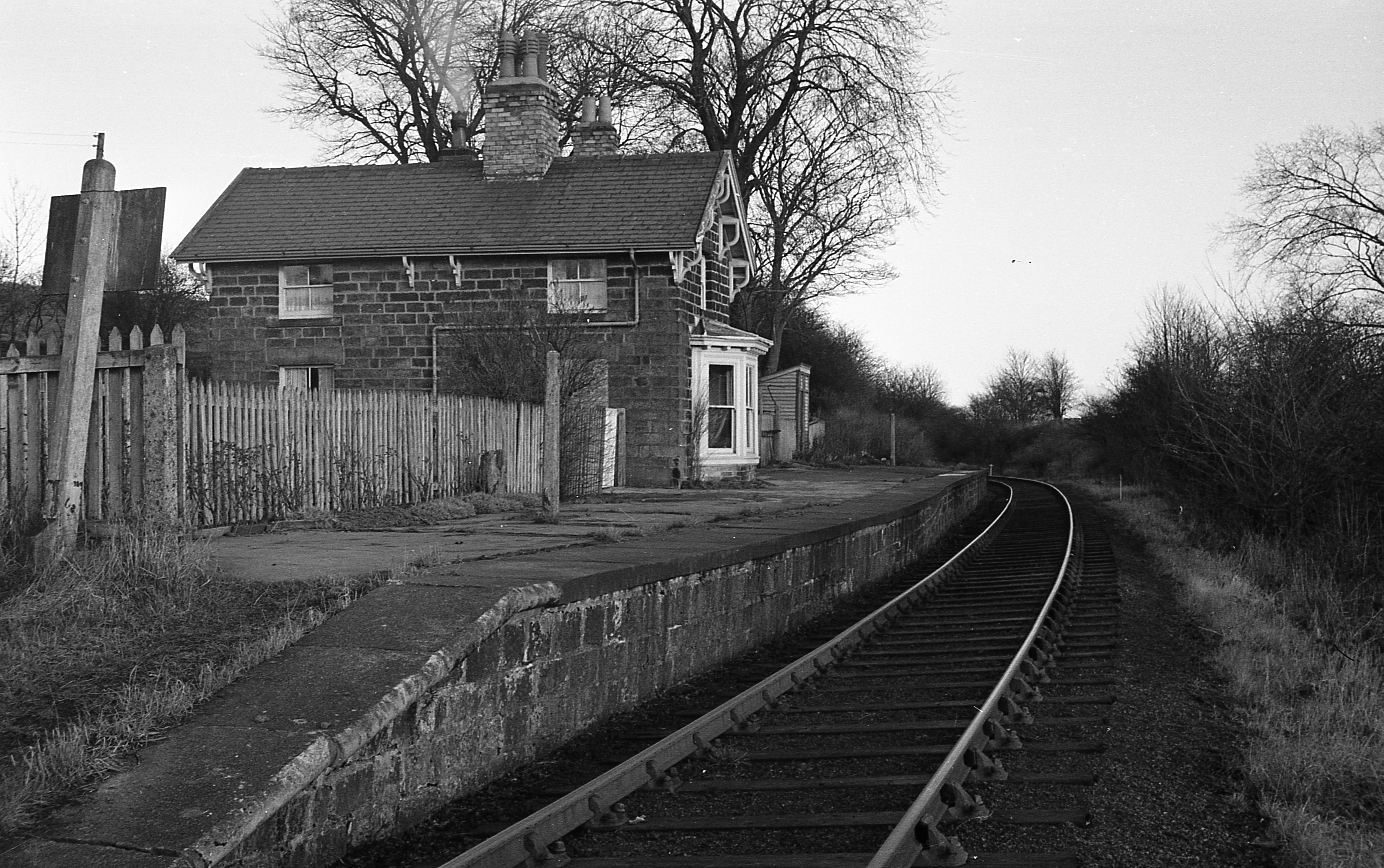
Hampsthwaite railway station
Hampsthwaite railway station served the village of Hampsthwaite, North Yorkshire, England from 1866 to 1950 on the Nidd Valley Railway. == History == The...

Hampsthwaite
Hampsthwaite is a large village and civil parish in Nidderdale in the Harrogate district of North Yorkshire, England. It lies on the south bank of the...

Ripley Town Hall, North Yorkshire
Ripley Town Hall is a municipal building in Main Street, Ripley, North Yorkshire, England. The structure, which is used as an events venue and as a post...

Ripley, North Yorkshire
Ripley is a town and civil parish in North Yorkshire in England, a few miles north of Harrogate on the A61 road towards Ripon. The town name derives from...

Ripley Castle
Ripley Castle is a Grade I listed 14th-century country house in Ripley, North Yorkshire, England, 3 miles (4.8 km) north of Harrogate.The house is built...
Nearby Amenities
Located within 500m of 54.022447,-1.5788307Have you been to Crag Hill?
Leave your review of Crag Hill below (or comments, questions and feedback).